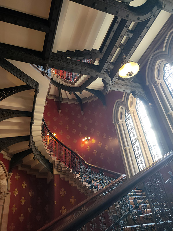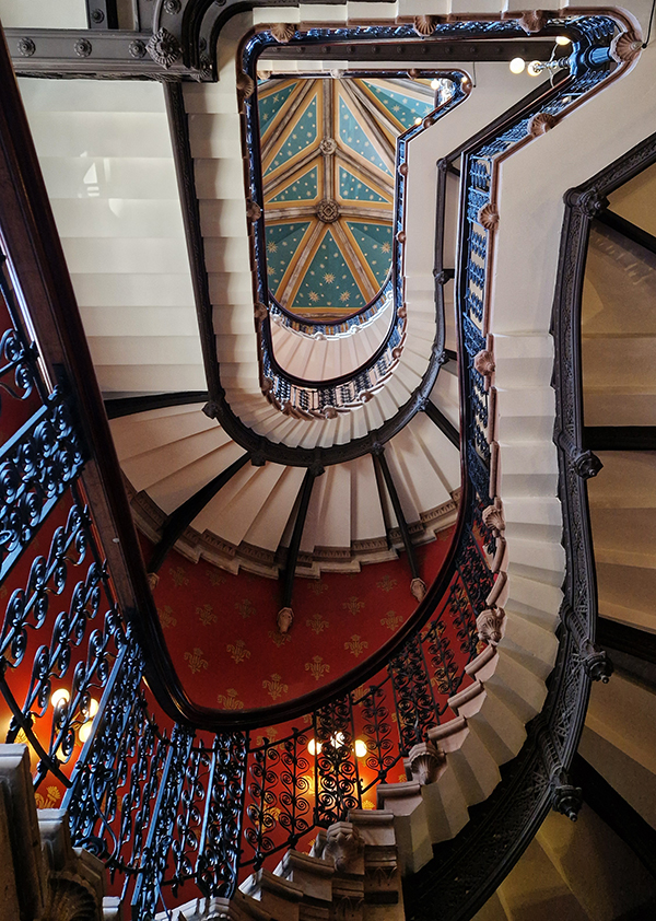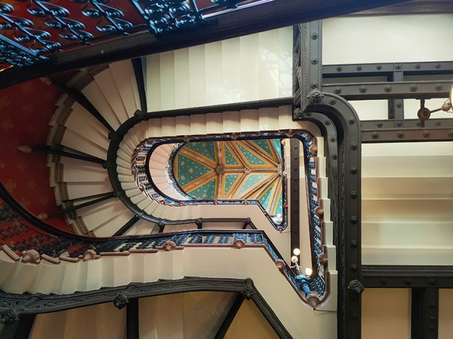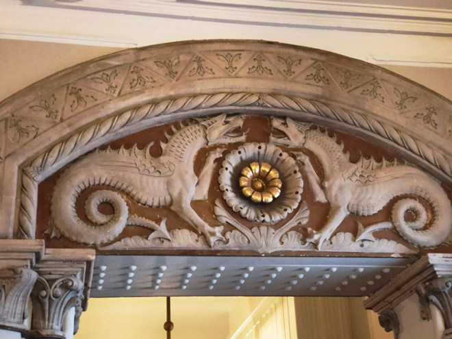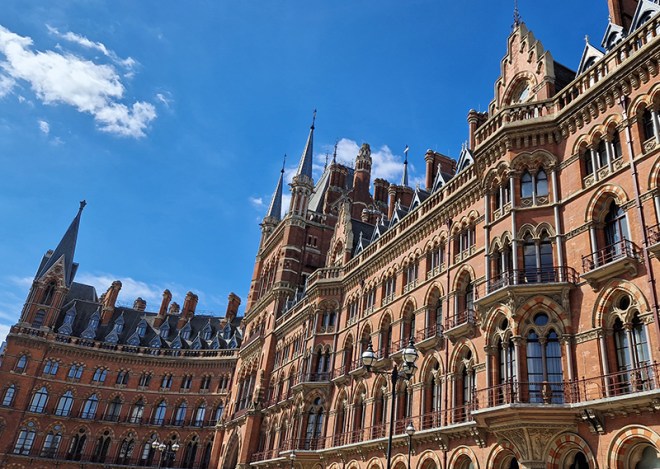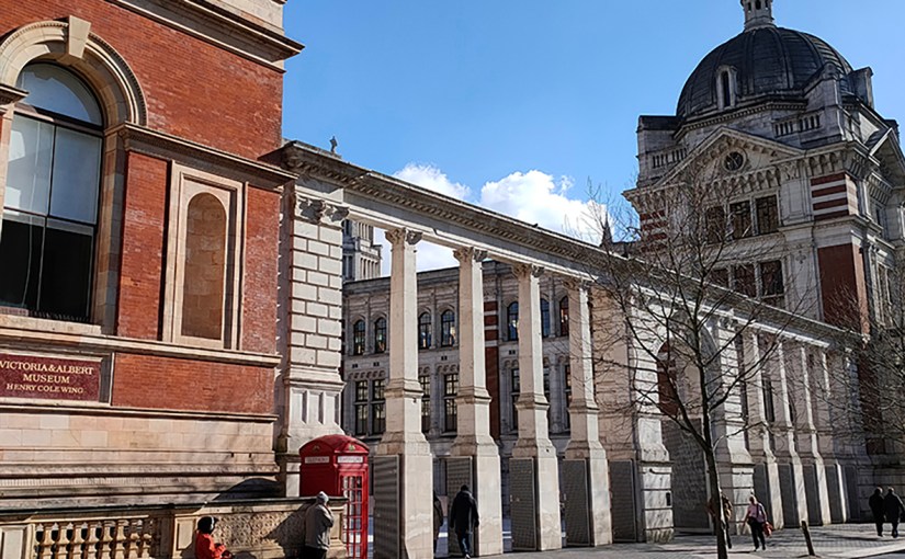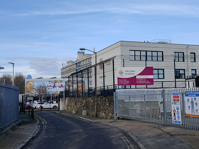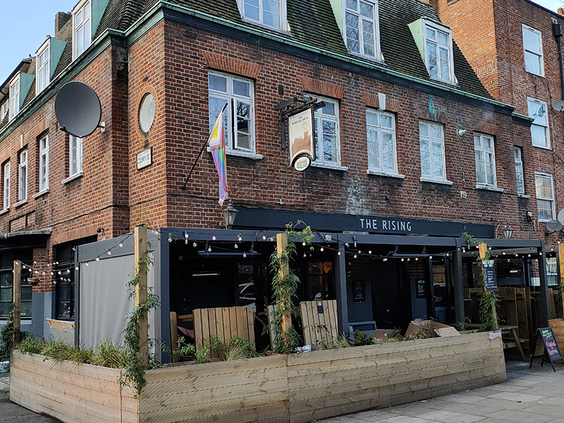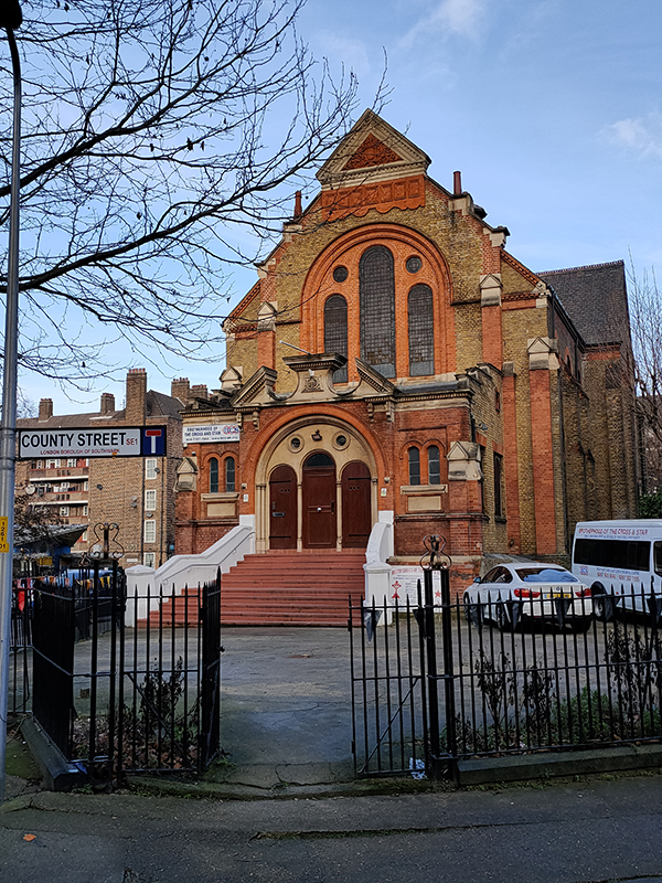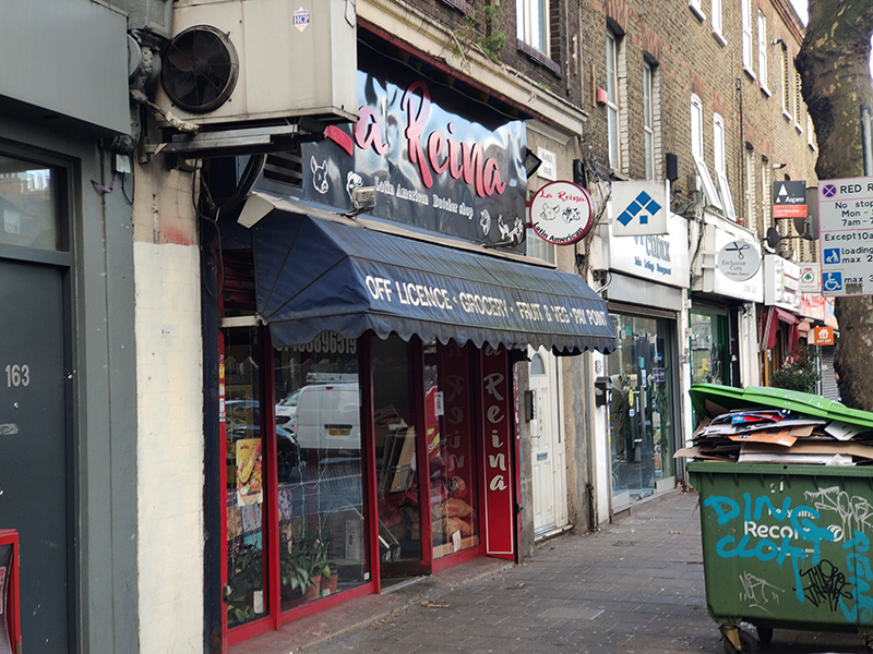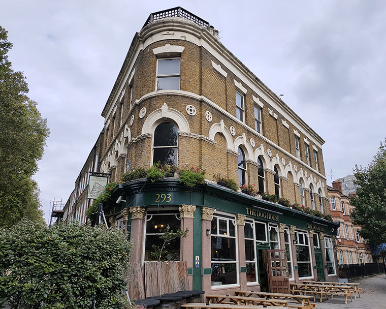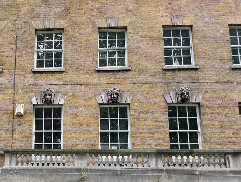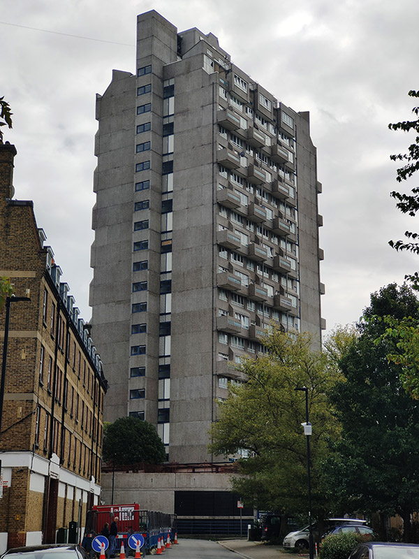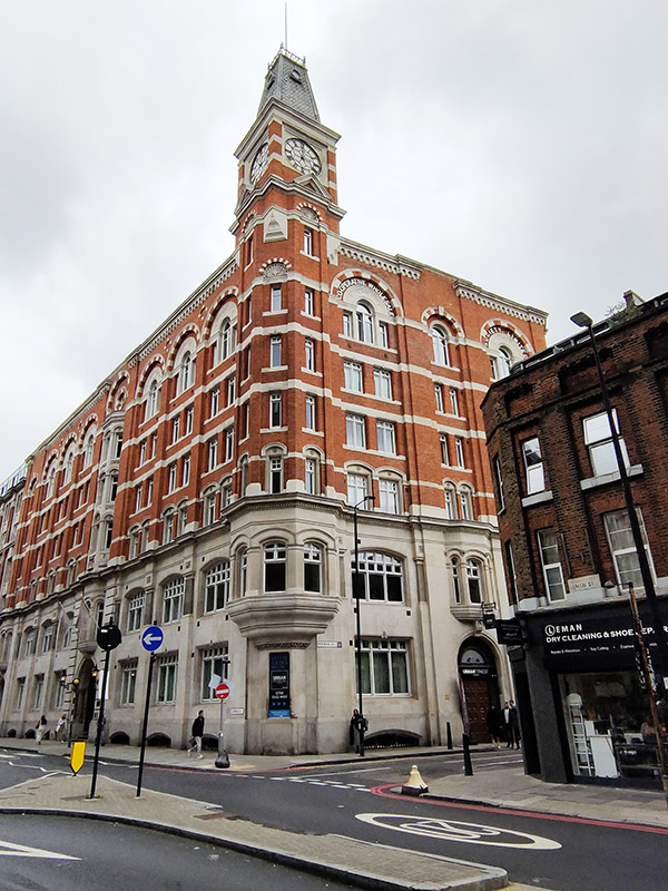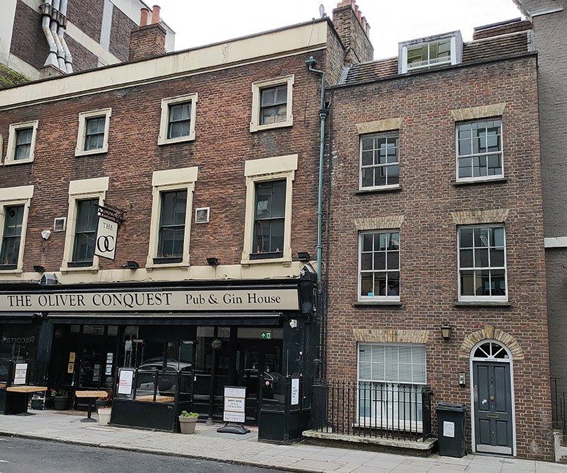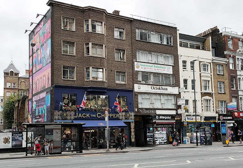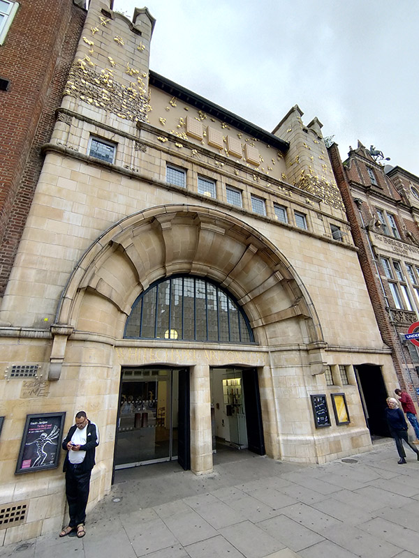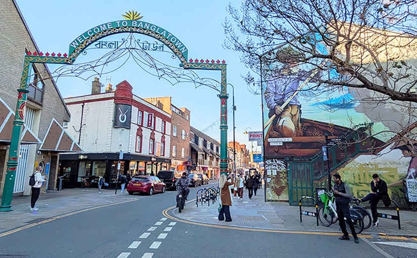
Day 86 – Brick Lane – Commercial Street – Hanbury Street

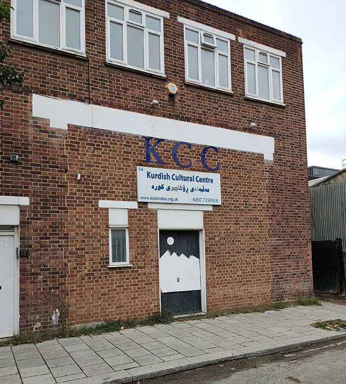
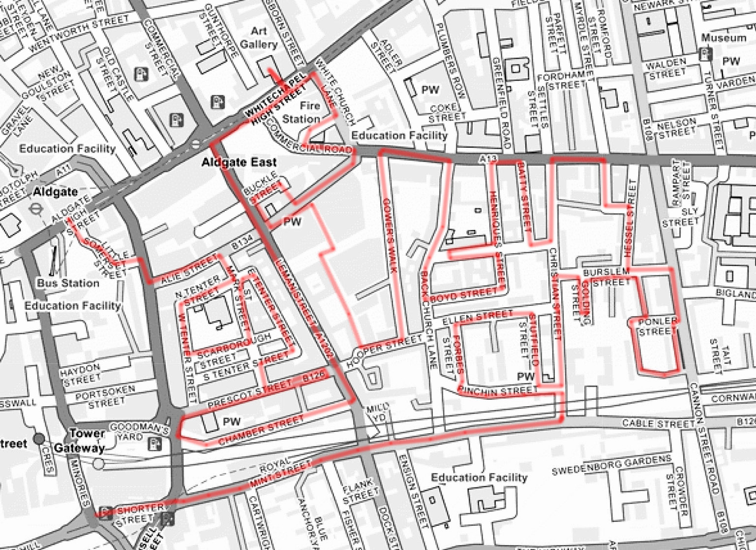
Today we’re all about Brick Lane and its surrounding streets. Known for the last few decades for its legion of curry houses, Brick Lane cuts through the heart of Spitalfields (aka Banglatown since 1997) which is home to London’s largest Bangladeshi community. The main section, which is what we’re concerned with today, runs from Bethnal Green Road in the north to (almost) Whitechapel High Street. From the late 17th century up to the late 1980’s the area was dominated by Truman’s Black Eagle Brewery which by the mid-19th century was the largest in the world, producing 400,000 barrels of beer each year, on a site covering six acres. We were last in this vicinity more than ten years ago and covered the Truman Brewery in the related post (Day 31) but since the brewery extended into Brick Lane I make no apologies for speaking to it again below.
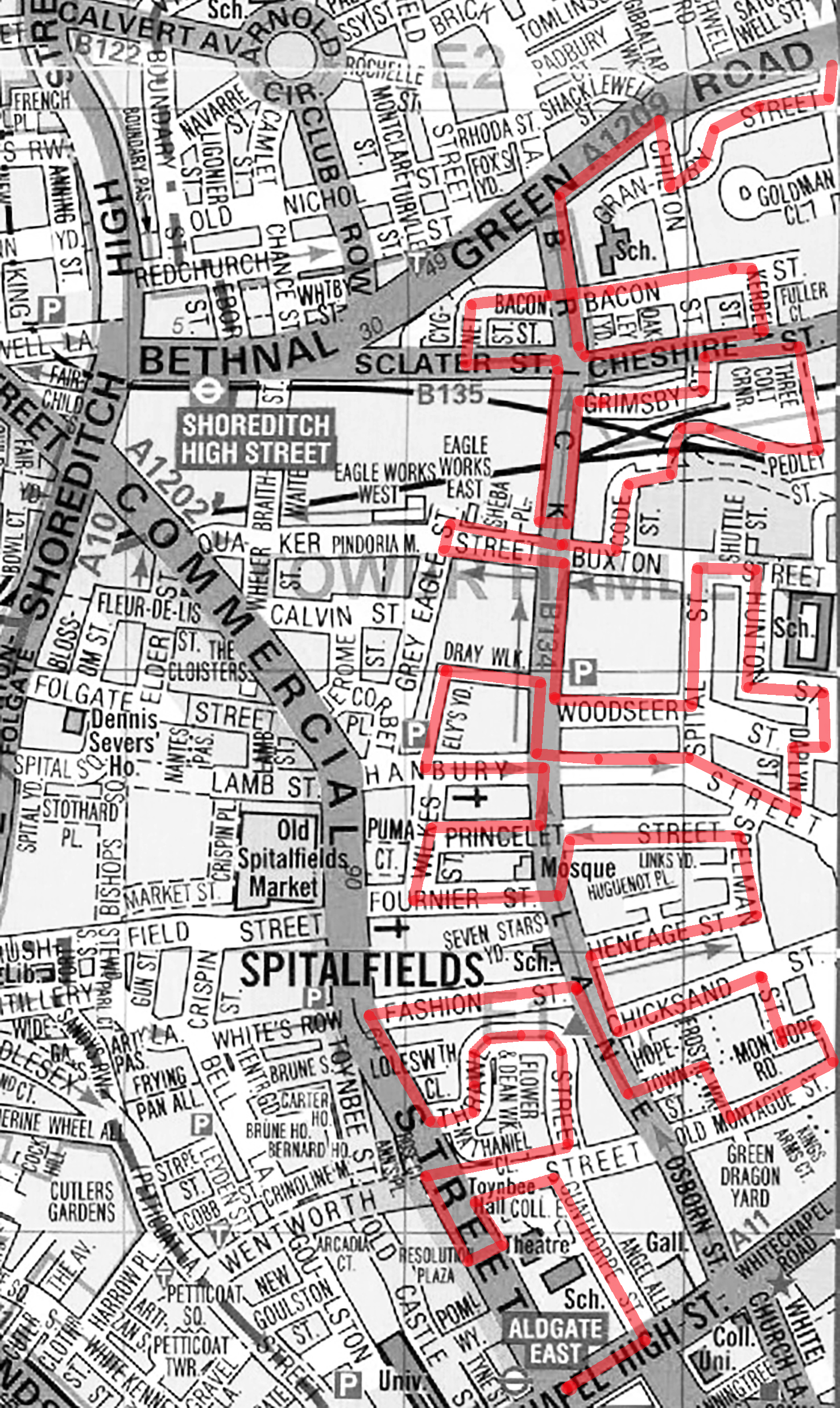
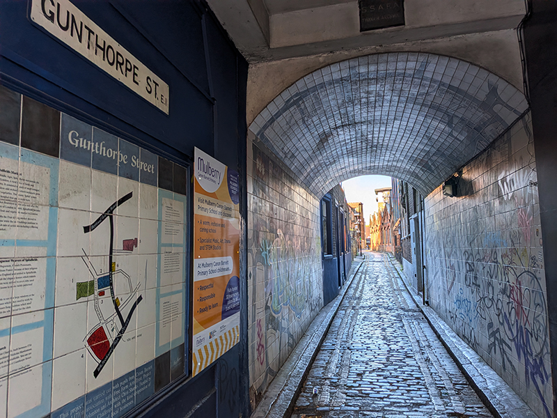
We set off from Aldgate East tube station, turning away from Whitechapel High Street up Gunthorpe Street. In 1888, Gunthorpe Street (at the time known as George Yard) was the scene of the murder of one Martha Tabram, a crime which may or may not have been the start of Jack the Ripper’s killing spree. (Officially, in so far as these things can be considered such, it’s a not). Ironically, just two years before that tragic event, provision merchant turned evangelist, George Holland, had established his ‘Sir George’s Residence for Respectable Girls’ on this very street.
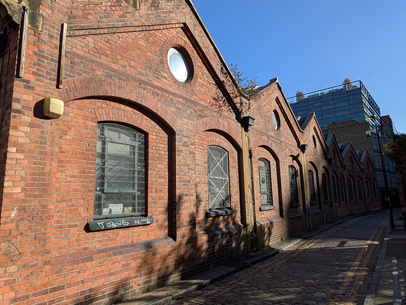
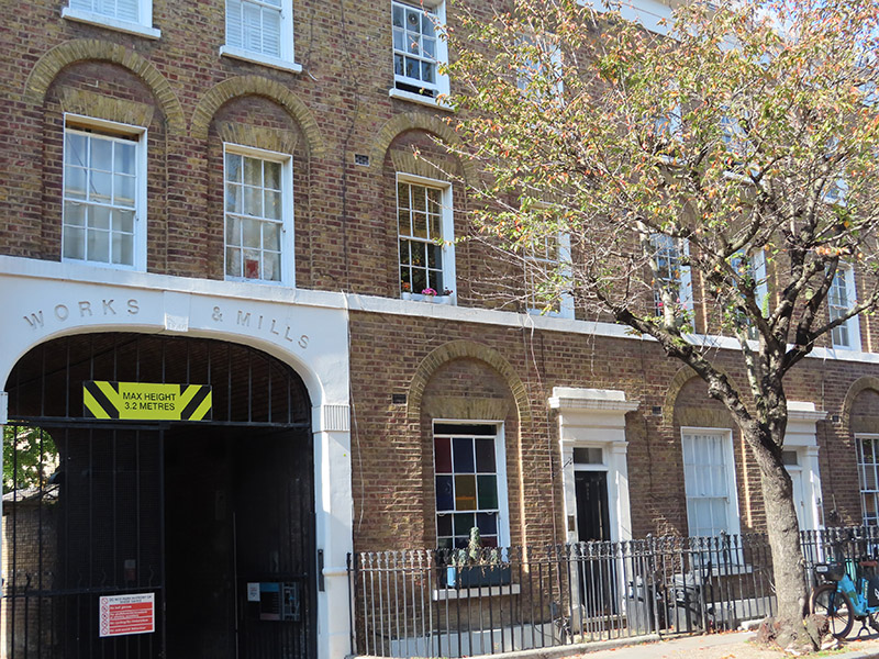
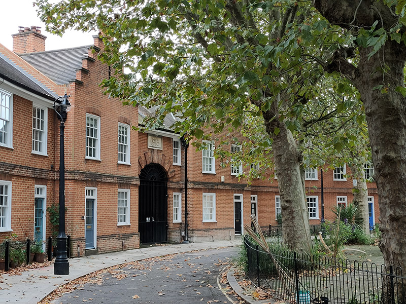
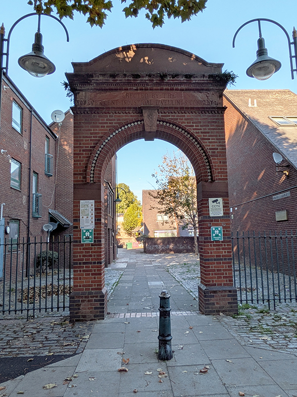
Turning left onto Wentworth Street we make our way to Commercial Street. En route, we pass another reminder of 1886, an archway erected by the Four Percent Industrial Dwellings Company to mark the entrance to the first block of homes built by the company following its foundation the year before. The company was created by Nathan Rothschild, 1st Baron Rothschild and other prominent Anglo-Jewish philanthropists including Frederick Mocatta and Samuel Montagu with the aim of providing affordable homes for poor Eastern European Jewish immigrants escaping severe slum conditions. Renamed the Industrial Dwellings Society (1885) Ltd (IDS) in 1952, the organisation still operates today as a registered social housing provider. The homes built behind here on what was originally Flower and Dean Street (now Walk), the Charlotte de Rothschild Dwellings, were demolished in the 1970’s.
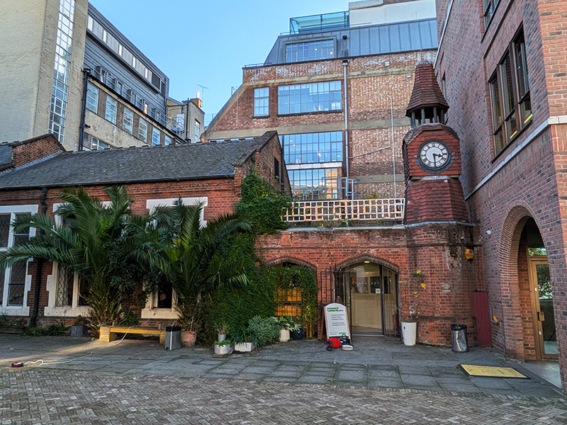
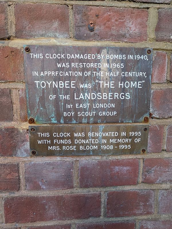
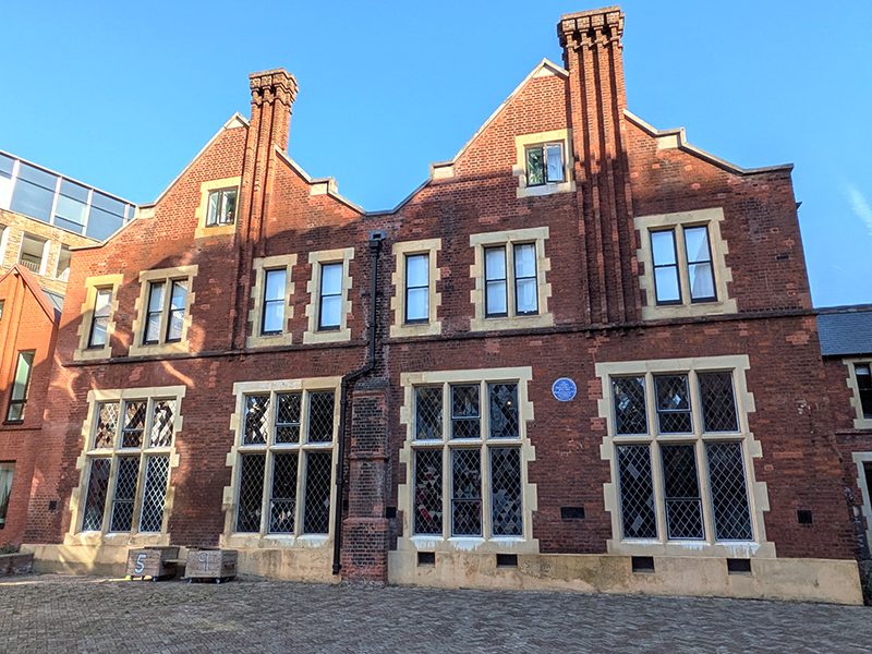
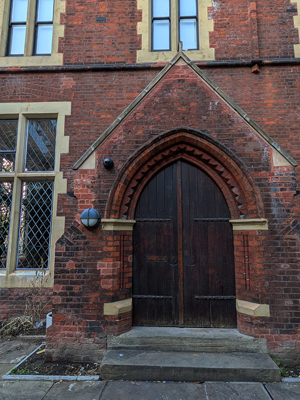
Just round the corner on Commercial Street is Toynbee Hall, a charitable institution that works to address the causes and impacts of poverty in the East End of London and elsewhere. It was established in 1884, by Samuel and Henrietta Barnett, vicar and teacher respectively, and was named in memory of their friend and fellow reformer, Oxford historian Arnold Toynbee, who had died the previous year. It was the first university-affiliated institution of the worldwide settlement movement – reformist social agenda that strove to get the rich and poor to live more closely together in an interdependent community. Among those who volunteered at Toynbee Hall before going on to enjoy major political careers were Clement Attlee and William Beveridge. Following his fall from grace in 1963, John Profumo devoted much of the remaining forty years of his life to Toynbee Hall. The main building was designed by Elijah Hoole in a Tudor-Gothic style and was designated a Grade II listed building in 1973. In 2020 a new building was added to function as a Community Centre.
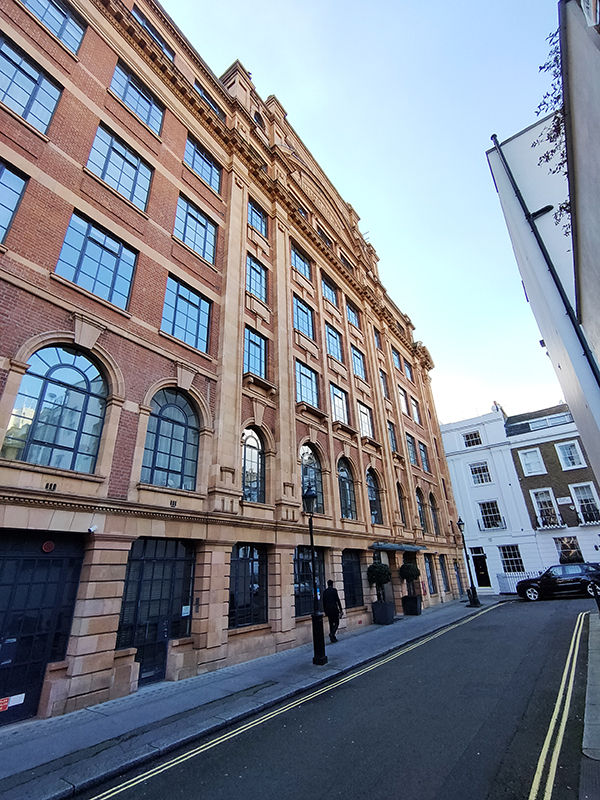
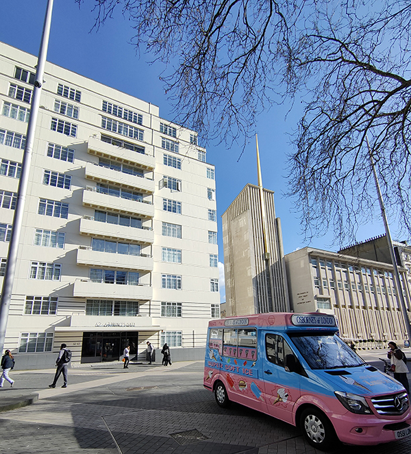
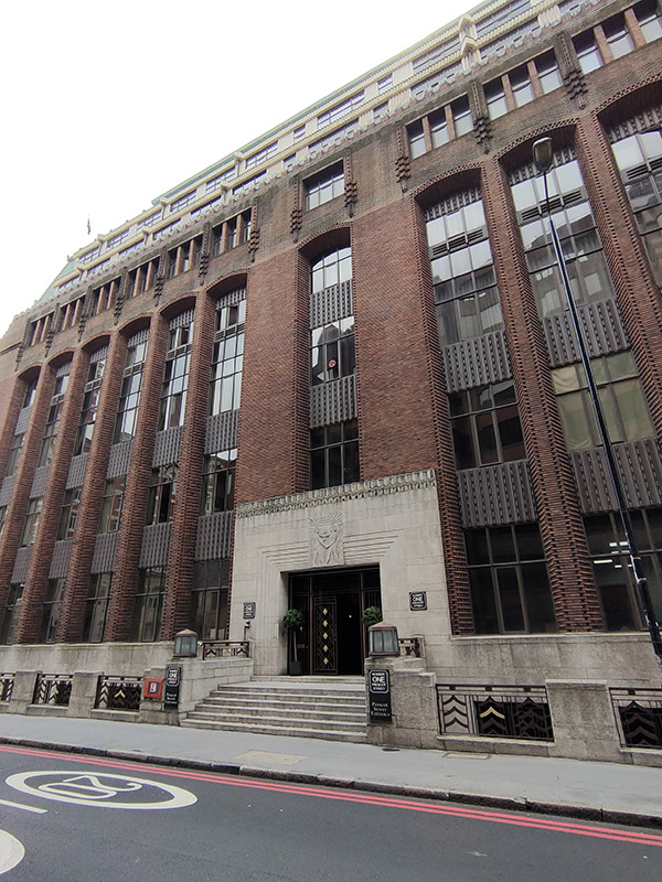
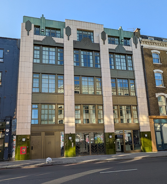
We head back down Wentworth Street and swing round the loop that is Thrawl Street to return to Commercial Street a bit further north. The Art Deco style Spitalfields Works building at no.67 on the west side was actually built as a new apartment complex by the Manser Practice in 2020.
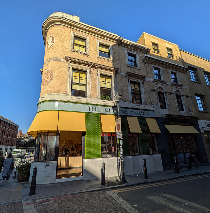
The former Queens Head pub on the corner of Commercial Street and Fashion Street dates back to the 1850’s. It ceased trading as a pub in 1927 and was subsequently taken over by a confectionery business then became a branch of the Bank of Bilbao in the 60’s and 70’s. After a long period of dereliction it was done up in 2019 and is now home to the SUBA Artisan bakery.
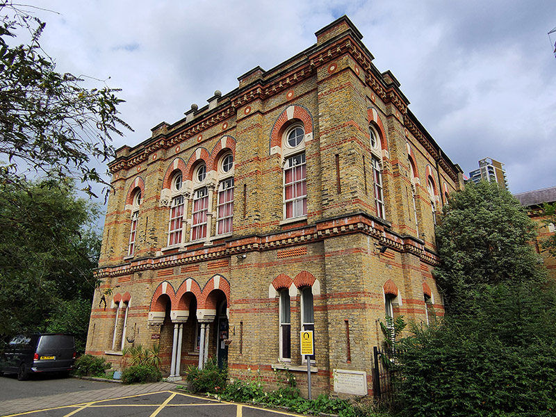
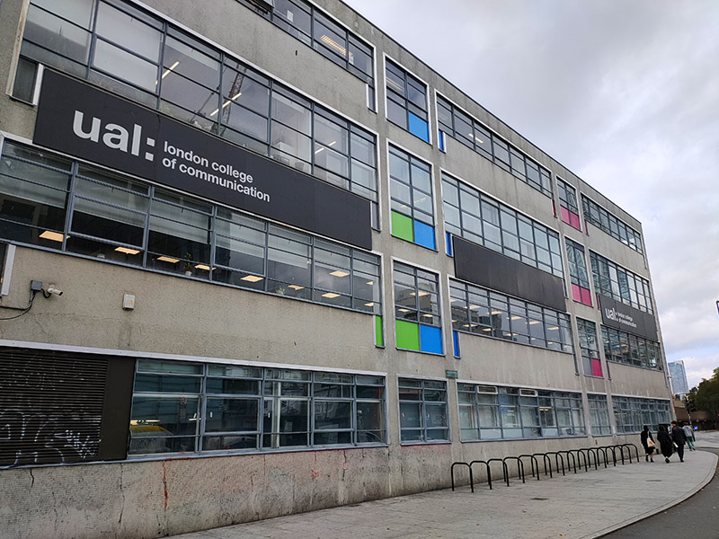
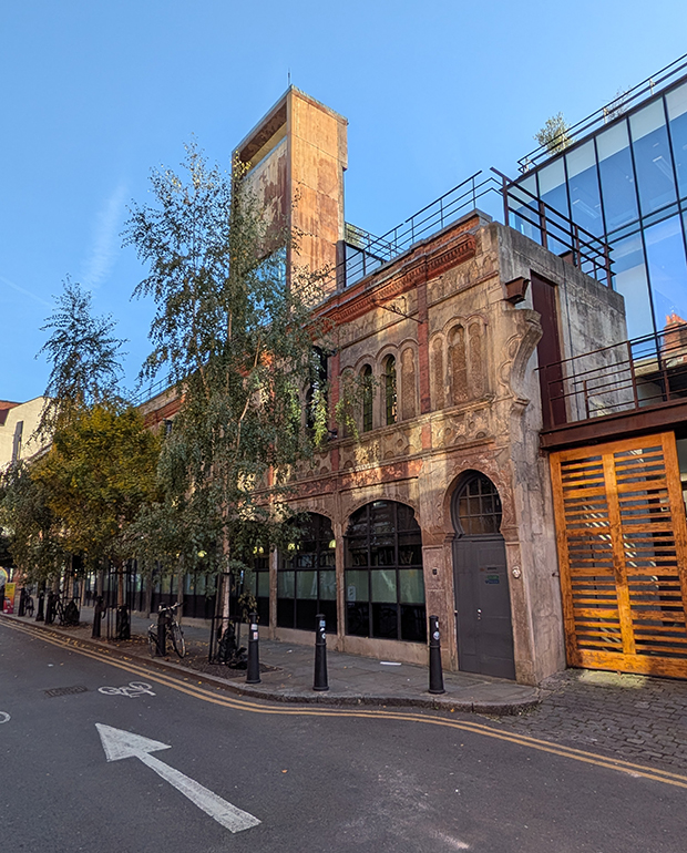
Fashion Street purportedly derives its name from a corruption of Fossan, after the developer Thomas Fossan who laid out this street in the 1650s. South side of the street retains the façade of the Fashion Street Arcade, also known as the Moorish Market, which was built in 1905 by the brothers Abraham and Wolff Davis. The ‘Moorish’ nickname is a nod to the eastern flourishes in the architecture, the scalloped embellishments around the windows and ogee arches. The brothers originally had plans for 250 shops with bathrooms and a reading room but when it first opened it only had 63 shops and after four years the business collapsed. The buildings were subsequently converted for industrial use and today are outposts of a couple of London universities. The splendid façade is rightly Grade II listed.
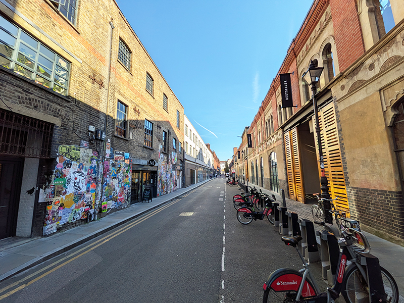
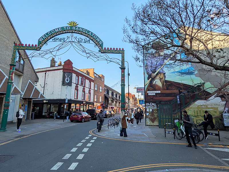
Fashion Street will take us into Brick Lane for the first time. Brick Lane started life as Whitechapel Lane and derives its current name from the brick and tile manufacture which started here in the 15th century. Successive waves of immigrants settled in the area. In the 17th century, French Huguenot refugees moved into this area and it became a centre for weaving, tailoring and the developing clothing industry. In the 19th century there was an influx of Irish emigrants and Ashkenazi Jews, the latter immigration continuing into the early 20th century. From the 1960s onward the majority of incomers were Bengali Muslims many from the (originally) Indian region of Sylhet which was given to Pakistan at partition but then became part of Bangladesh when it achieved independence.
Turning south on Brick Lane we then cut through Hopetown Street and Frostic Walk to Old Montague Street. At the junction of the latter with Osborn Street (which joins the southern end of Brick Lane to Whitechapel High street) sits the Buxton. Now a bistro, wine bar, and 15-room hotel this former pub was named after Sir Thomas Fowell Buxton (1786–1845) a prominent anti-slavery campaigner and partner in the Truman, Hanbury and Buxton brewery.
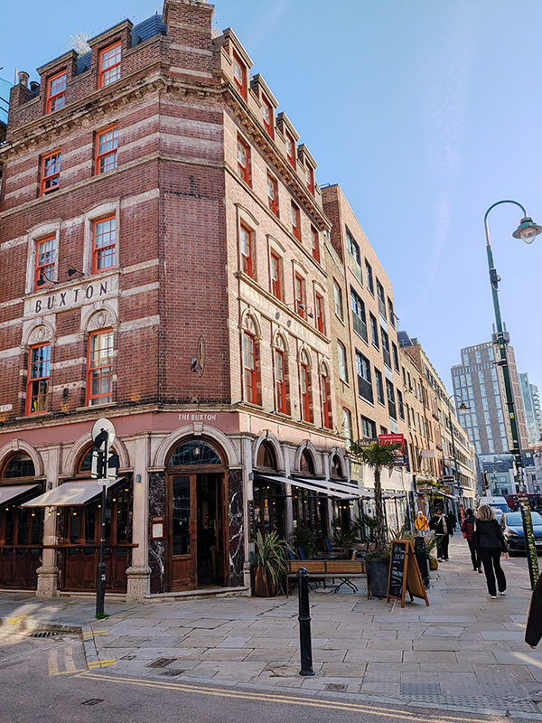
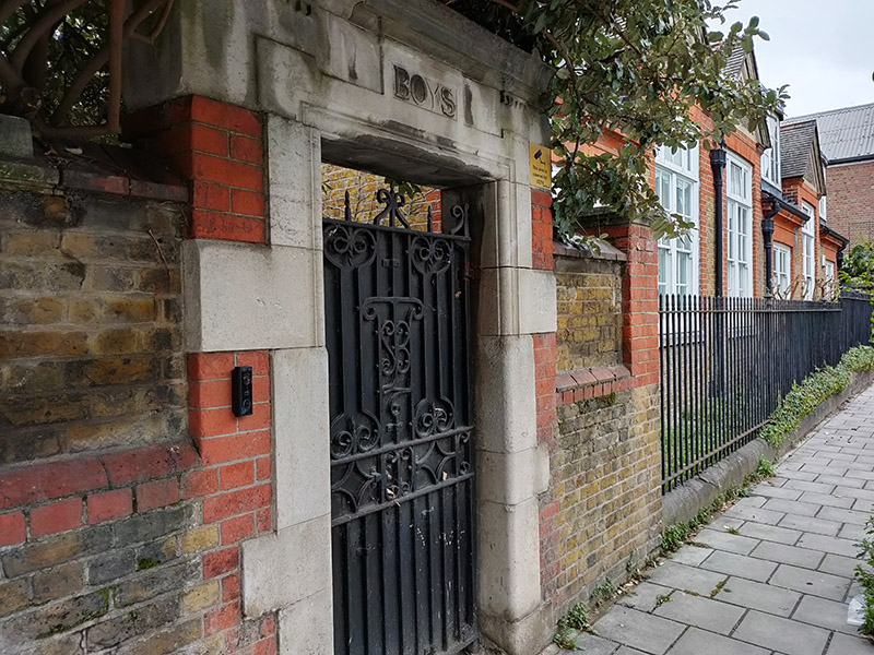
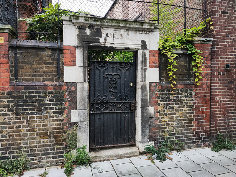
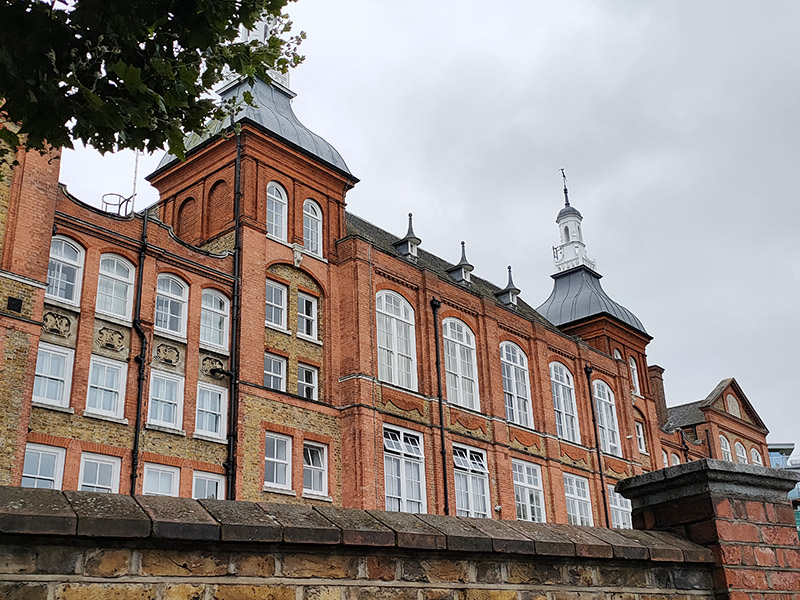
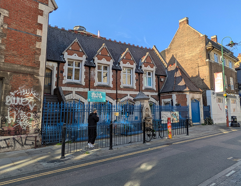
Heading back east on Old Montague Street we then follow Casson Street, Monthope Road, Spelman Street and Chicksand Street back to Brick Lane. Resuming northward our next turn-off is Heneage Street to the east. Opposite the entrance to this is, the now rather incongruously situated (given the local demographics), Christ Church CofE Primary School built in 1874.
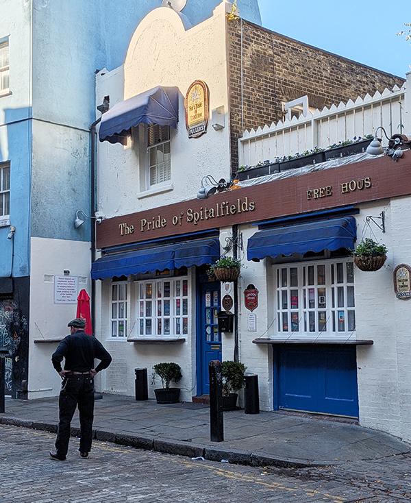
A short way along Heneage Street you’ll find the (perhaps) equally incongruous and resolutely ungentrified Pride of Spitalfields pub. This recently came 4th on Time Out’s recent list of the 50 best pubs in London (which I only found out later otherwise I might have paid a visit despite the early hour).
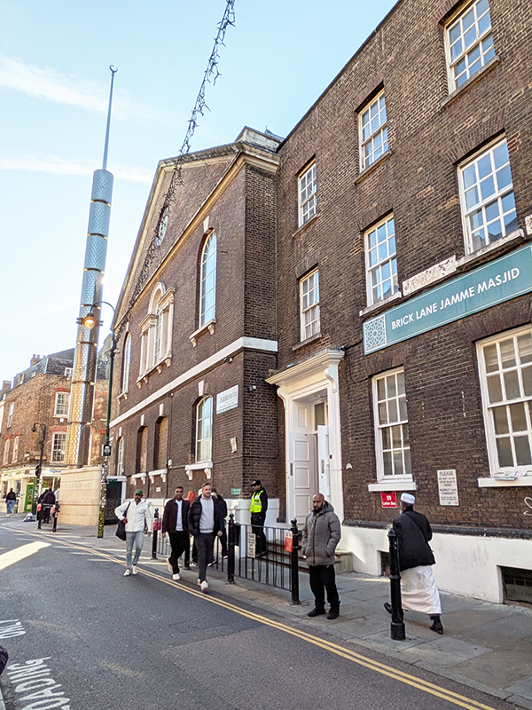
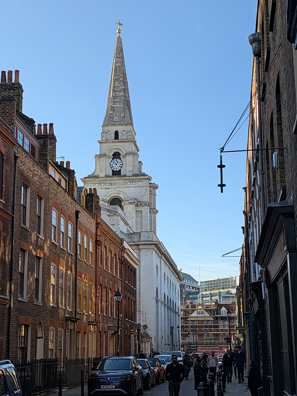
Back to Brick Lane via Spelman Street and Princelet Street emerging opposite the Brick Lane Jamme Masjid (Mosque). This building at no.59 has been home to a succession of Christian, Jewish, and Muslim communities since its construction in the mid-eighteenth century, reflecting the different waves of immigration in the neighbourhood. Established in 1743 as a Protestant Chapel by the Huguenots it was taken over in the early 19th century by the Methodists. Then in 1891 it became the Spitalfields Great Synagogue. From 1916, the synagogue’s leader was the notable Abraham Isaac Kook, later the first Ashkenazi chief rabbi of the British Mandatory Palestine. Post WWII the Jewish population gradually relocated to more distant parts of London and the synagogue closed. The incoming Muslim community eventually bought the building and it was refurbished and opened as a mosque which can accommodate up to 3,200 worshippers (including 200 women). The building has a Grade II * listing.
Just south of the mosque, running west, is Fournier Street. The houses mainly date from the 1720s and form one of the most important and best preserved collections of early Georgian domestic town-houses in Britain. Many were originally occupied by those wealthy French Huguenots, either as homes or business premises. In the latter case silk-weaving activities occupied the uppermost floors to gain the best light for the looms – hence the development of the unusual highly glazed lofts in these houses- while the ground floor rooms commonly served as elaborate showrooms for the finished products. Most notable current residents are the artist duo, Gilbert and George.
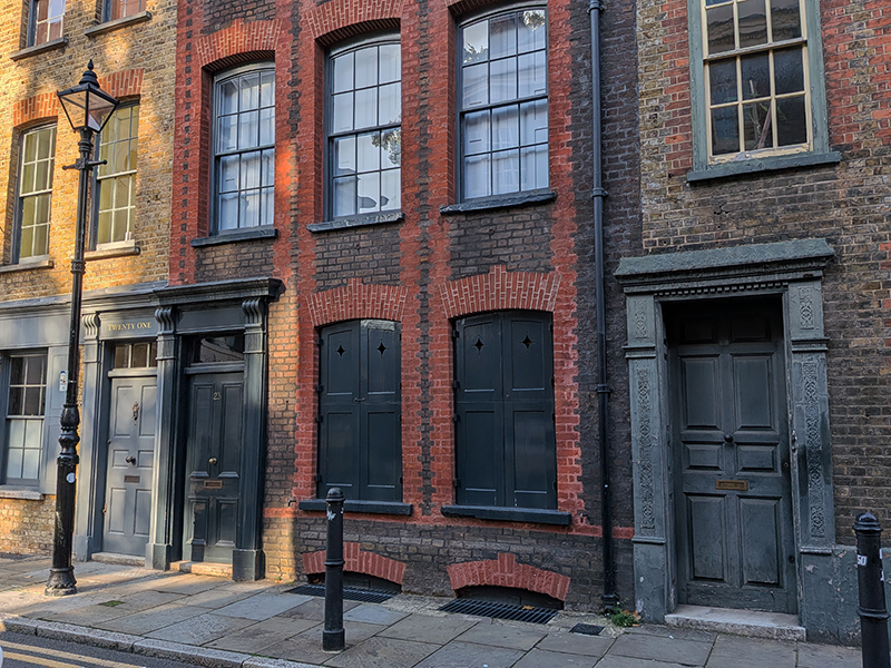
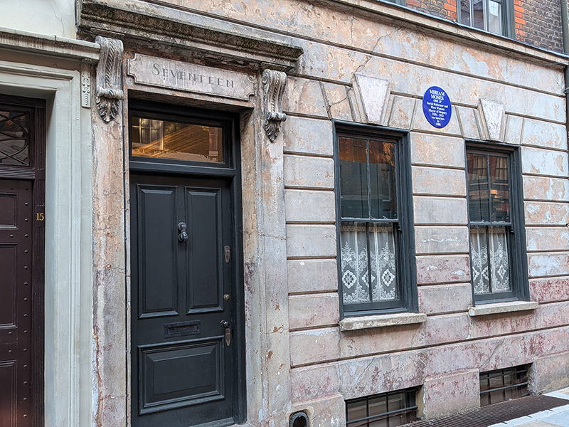
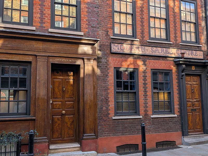
Wilkes Street connects us with the western section of Princelet Street which has a similar history to Fournier Street. At no.17 is a blue plaque recognizing this as the birthplace of Miriam Moses (1884 – 1965), a British Liberal politician, philanthropist and social reformer. She served as Britain’s first female Jewish mayor when she became mayor of Stepney. No.24 was largely destroyed by a bomb strike in 1940 and subsequently renovated later that decade. When architect Chris Dyson bought it in 1997 he spent 14 years redesigning it, including returning the façade of the house to a design of 1725 with timber sash windows and decorative brickwork.
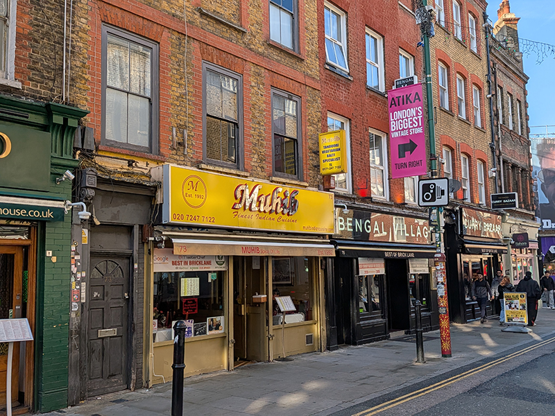
Brick Lane is, of course, widely renowned for its Bangladeshi curry houses but there are fewer of them than there once were. Apparently, a fair number didn’t manage to survive the COVID-19 shutdown and it looks like restaurants offering alternative cuisines have filled many of those gaps. The UpMarket Food Hall, open since 2004 in part of the old Truman Brewery complex with stalls offering a multiplicity of international dishes, can’t make life any easier for the remaining restaurateurs.
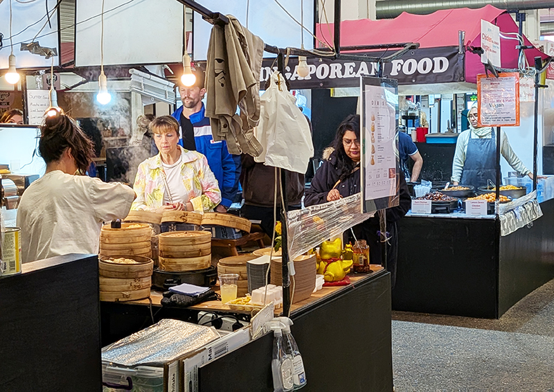
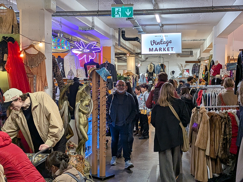
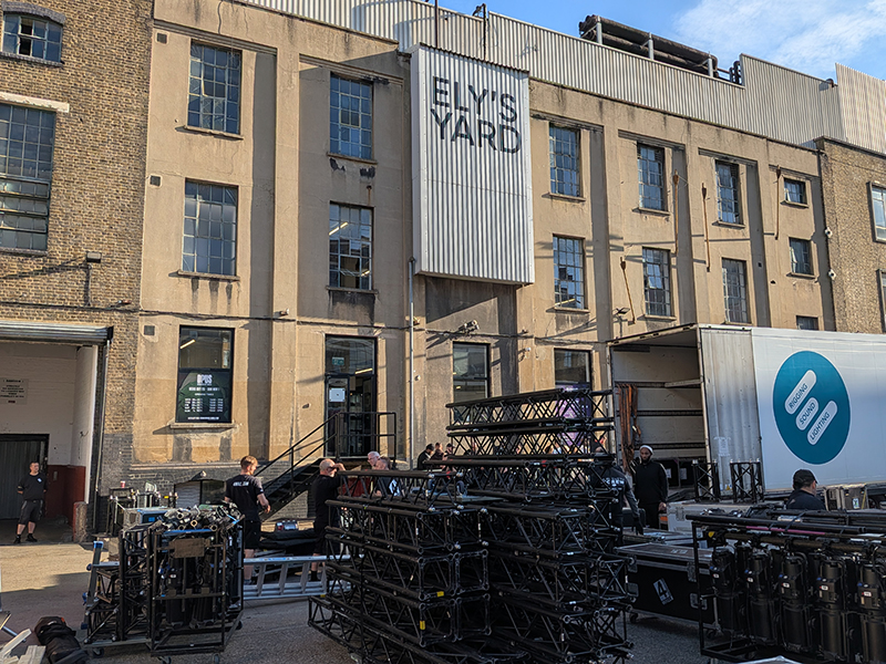
The Food Hall is on the corner of Brick Lane and Hanbury Street (named after another of the brewery’s founders of course). Off that western section of Hanbury Street, Ely’s Yard cuts through part of the brewery site and the buildings on its right side are now home to the massive Brick Lane Vintage Market (which reminds me of the old Kensington Market in its heyday though with more foreign tourists).
Round the corner on Drays Walk is the Rough Trade East record store, something of a mecca for vinyl enthusiasts.
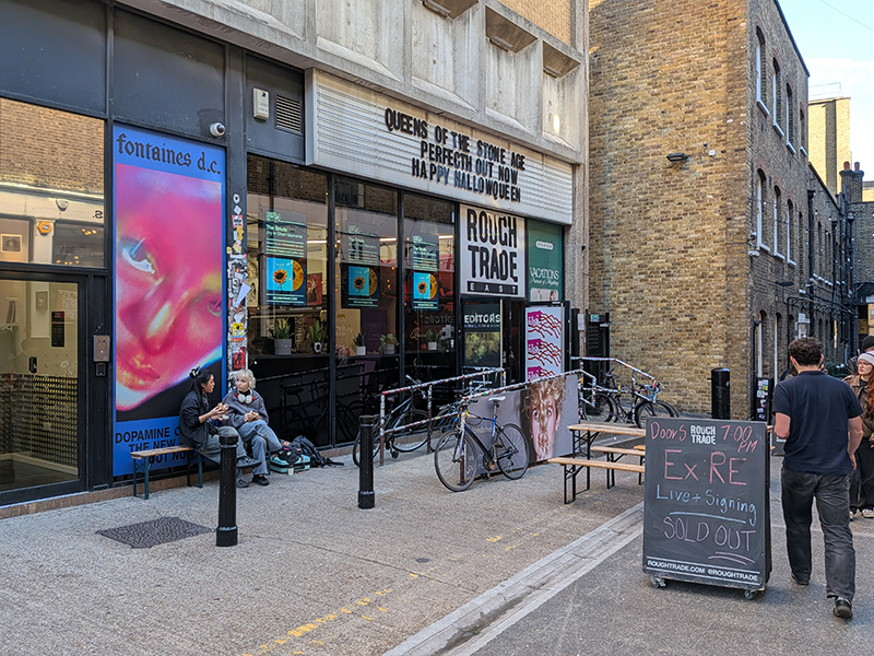
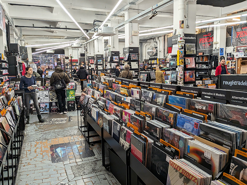
We head back down Brick Lane briefly to reach the eastern section of Hanbury Street where you’ll find a store offering Analogue Film Services and, further down, Second Home which was a pioneer in providing co-working spaces with fully-serviced amenities.
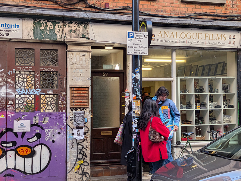
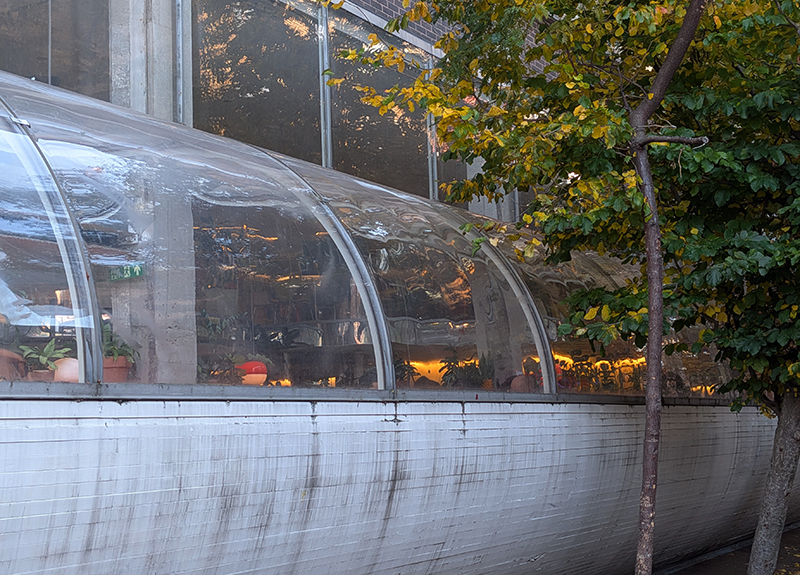
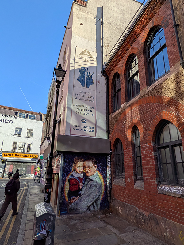
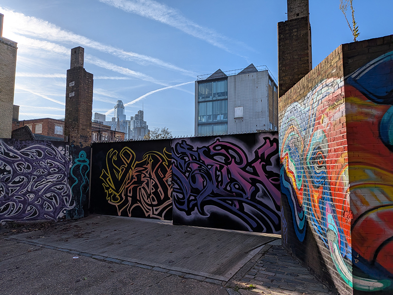
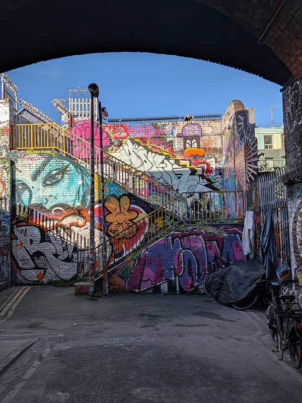
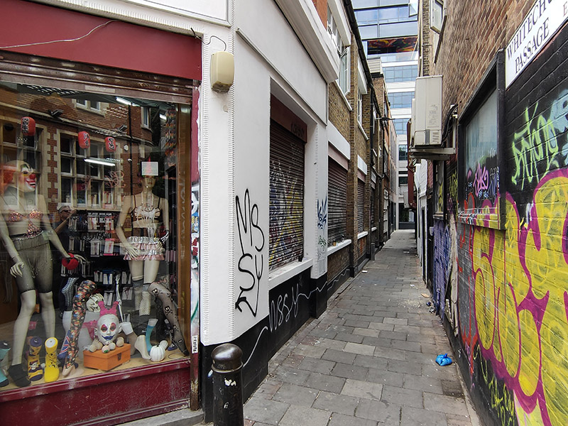
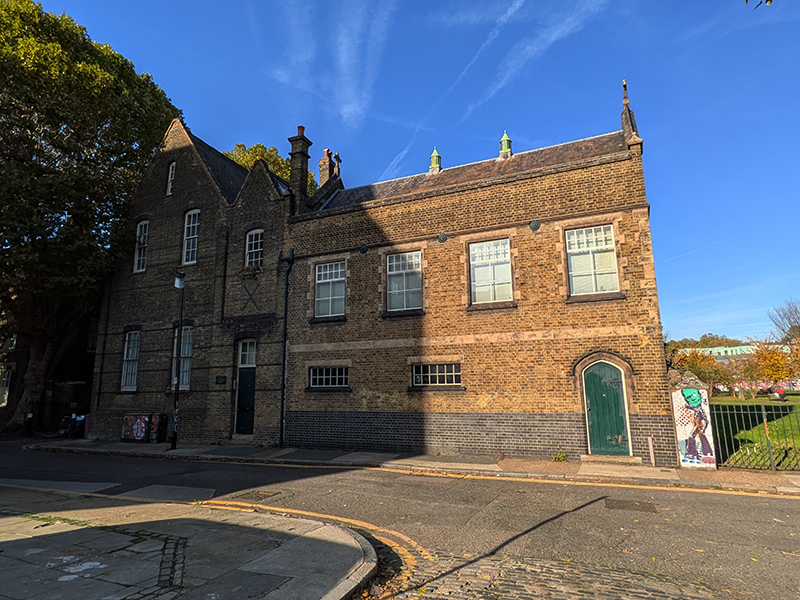
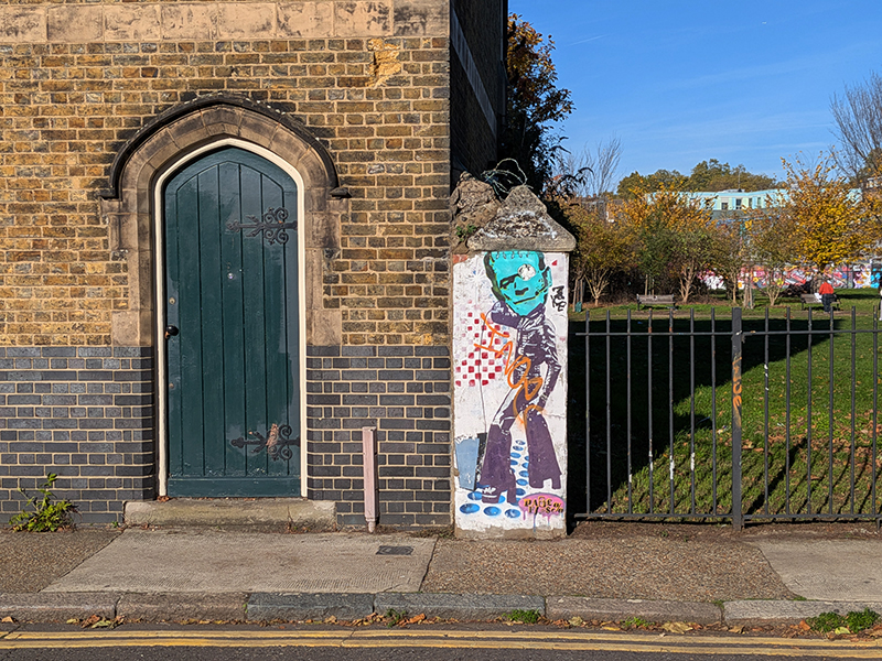
Leaving Hanbury Street via Daplyn Street, we follow Hunton Street up to Buxton Street (that man again). At the entrance to Shuttle Street sits the old St Patrick’s Roman Catholic School. These days, aside from the curry houses, the Brick Lane area is best known for its graffiti, a timely version of which adorns the school house (Halloween was a few days ago).
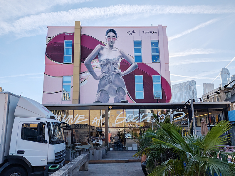
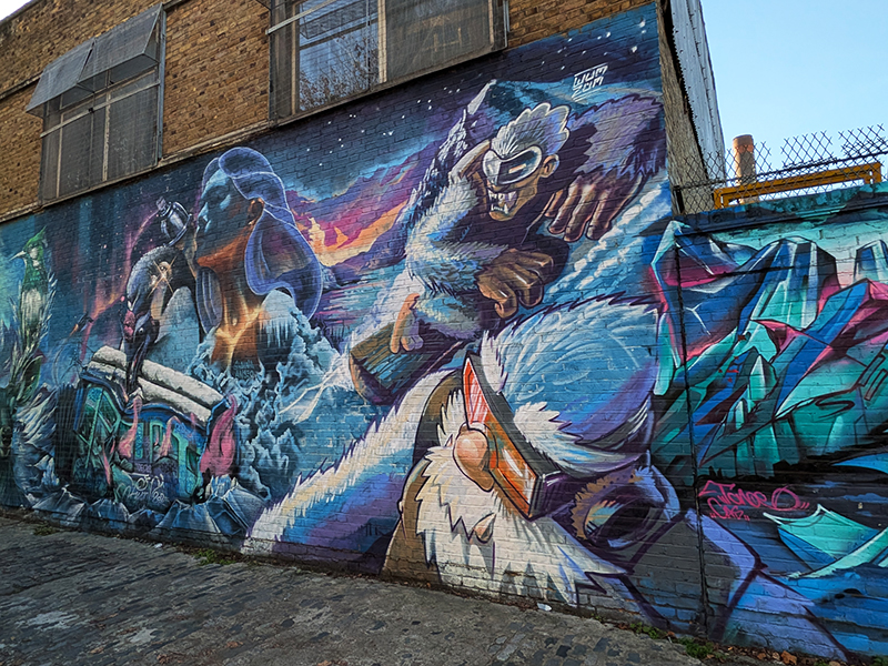
Up next, Spital Street, which takes us down to Woodseer Street and has some striking examples of that video art.
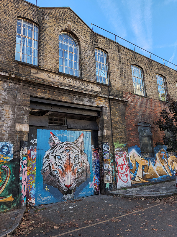
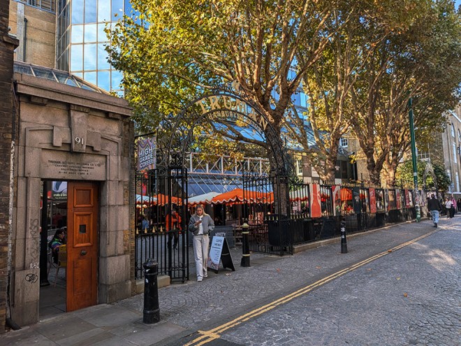
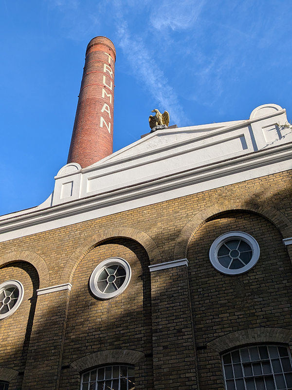
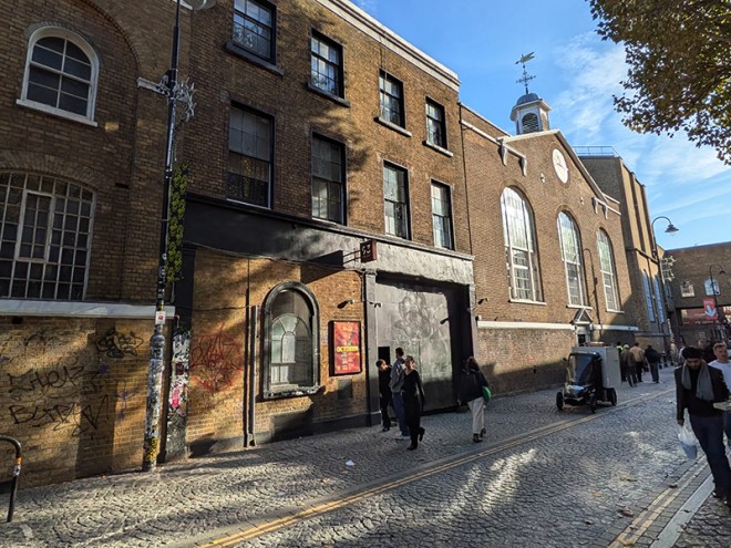
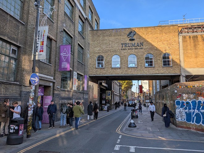
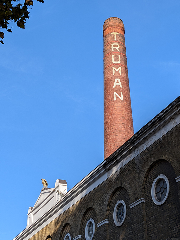
From Woodseer Street we return to Brick Lane and now we’re right in the heart of where Truman’s Black Eagle Brewery dominated the area for the best part of 300 years. (Warning: the next section contains self-plagiarism). A brewery was originally established here around 1666 and the Truman name arrived a decade or so later when one Joseph Truman took control of operations. Under the later guidance of Joseph’s younger son, Benjamin (who inspired the Ben Truman brand), the brewery expanded rapidly to become one of the largest in London. Sir Benjamin died in March 1780 and, without a son to take on the business, it passed to his grandsons. In 1789, the brewery was taken over by Sampson Hanbury (Hanbury had been a partner since 1780; the Truman family became ‘sleeping partners’) and in 1808 Hanbury’s nephew, (the aforementioned) Thomas Fowell Buxton, joined the company. By 1873 Truman had become the largest brewery in the world. Nothing lasts forever though and in 1971 Truman lost its independence when it was taken over by the conglomerate, Grand Metropolitan, and shortly thereafter was merged with Watney Mann. A switch into keg beer in the late seventies and early eighties combined with a growing consumer preference for lagers proved to be the undoing of Truman and the brewery eventually closed in 1989. In a bizarre case of things turning full circle though the Truman brand name was bought from Scottish & Newcastle in 2010 by two London businessmen who opened a new micro-brewery in Hackney Wick producing a range of cask ales. The brewery site itself has over the last twenty years been turned into a centre for the arts and creative and media industries with gallery spaces, restaurants and independent retail outlets. The 49 metre tall Grade II listed Truman Chimney still stands proudly within the Boiler House events and exhibition space. Also still standing are the brewery’s stables on the east side of Brick Lane. Some of these spaces are now occupied by nightlife venues such as 93 Feet East. On the other side of the street no. 91, the former Brewmaster’s House (also Grade II listed), is now a pub serving the modern incarnation of Truman beers.
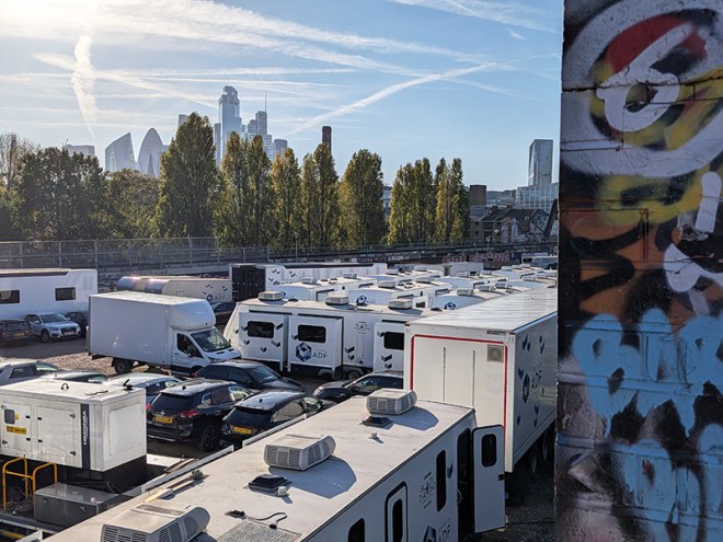
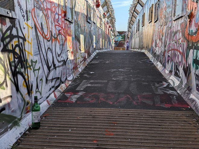
Having taken a look at the eastern strand of Buxton Street we cross over Brick Lane again and continue on its western stretch as far as Code Street. This runs alongside Allen Gardens as far as the railway then a footpath takes us east to Pedley Street where we turn north again and go through a tunnel under the Windrush Line and a footbridge over the Weaver Line. This part of today’s route is literally wall to wall graffiti.
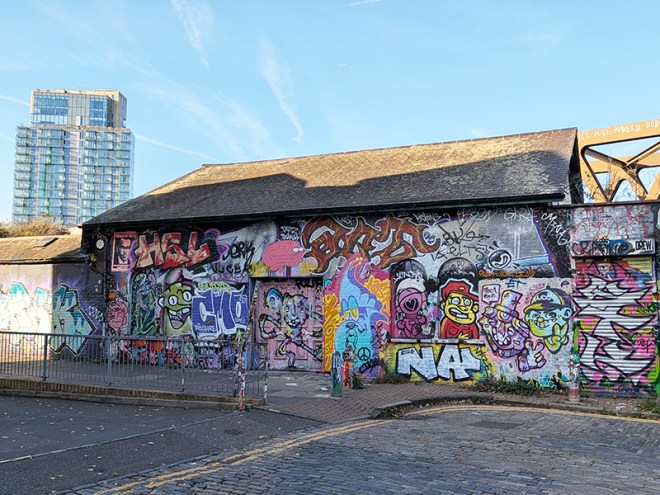
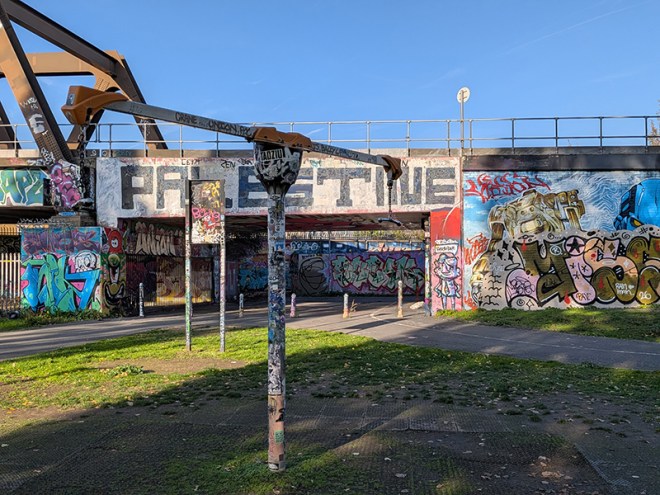
On the other side of the footbridge we arrive on Cheshire Street then head back to Brick Lane via Grimsby Street.
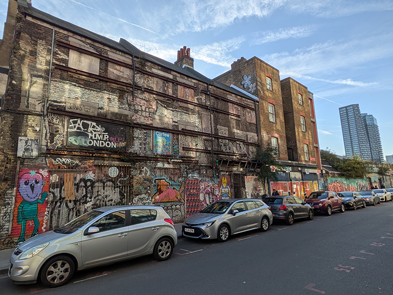
Next up is a western loop by way of Sclater Street, Cygnet Street and Bacon Street. The latter continues on the east side of the Lane with Kebela Street and Cheshire Street for a second time bringing us back to BL for the last time today.

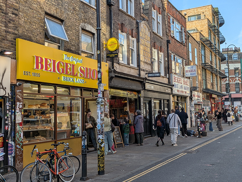
One final thing that Brick Lane is known for is its Bagel (or Beigel) bakeries, a reminder of its Jewish past, though the history of these is somewhat tricky to unentangle. The most famous of these nowadays is the open-all-hours Beigel Bake which was established in 1974 by brothers Amnon and Asher Cohen together with Sammy Minzley in a former butcher’s shop. The “yellow one” in the picture below, the Beigel Shop, purports to have been selling bagels from this site since 1855. During that time it has been through many iterations, including being run by Asher and another Cohen brother, Johnny, from the 1960’s on. The current owners, another pair of brothers, David and Aron (surname not publicly disclosed) acquired the business in 1987. In 2024 this one was widely reported as being under threat of closure but though it hasn’t filed accounts since then it does look very much open for business. The 24/7 Beigel Bake gets through around 20,000 of their brown bags in a single week and churns out about 3000 of their round chewy things each day. They use around 150 kilos of salmon and 100 kilos of cream cheese per week, as well as a huge amount of herring, avocado, houmous, and all sorts of other fillings.
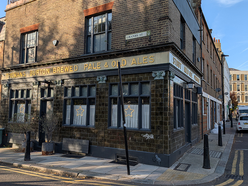
Reaching Bethnal Green Road our final push for the day sees us stroll east as far as Chilton Street and divert onto this as far as Granby Street which is the ultimate leg of today’s route. On the corner of Chiltern and Granby stands the Britannia Shoreditch a former 19th-century Truman Brewery pub which has been converted into a private luxury stay and event venue. A sign of the times maybe but given that the original Trumans signage has been retained an appropriate place to conclude proceedings.
Day 85 – Jamaica Road – Spa Road – St James’s Road – Southwark Park Road

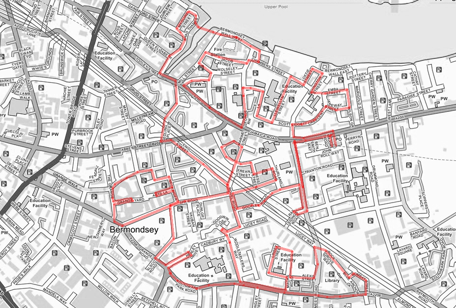
South of the river once more for today’s outing, but only just. We’re east of Tower Bridge in Bermondsey, exploring the highs and lows of the area between Southwark Park Road and the Thames; an area intersected by both the Jamaica Road and the Kent-bound rail lines out of London Bridge. In common with the other parts of South London visited recently this locale is heavy on public housing estates but unlike them it still has a wide selection of functioning pubs. The weather was warmer than I had dressed for and I had added to the usual navigational challenge by employing a map that was at least 15 years out of date. (The one below is not much better but at least handy if you need to know where the EV charging points are).

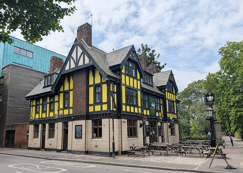
We kick things off by heading west on Jamaica Road from Bermondsey Tube Station past Major Road (which seriously belies its name) and Ben Smith Way. As we turn south onto St James’s Road we pass the first of those pubs I mentioned, the inter-war mock-Tudor style Gregorian.

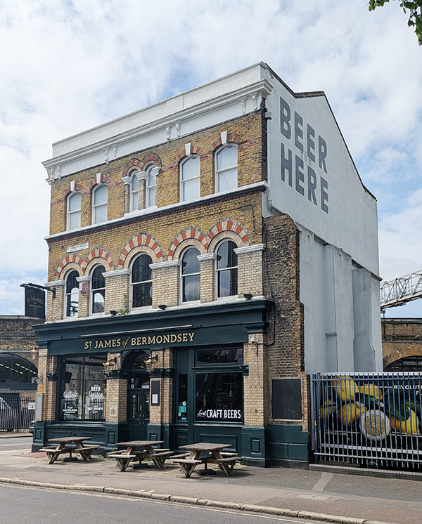
Further up the road just before we reach the railway is the St James of Bermondsey which dates back to around 1870. This one-time Watneys pub was done up and renamed (from the St James Tavern) in 2014. It’s changed hands a couple of times since then including a brief ownership by one of the breweries on the so-called Bermondsey Beer Mile. That informal collection of microbreweries and taprooms alongside the railway viaduct roughly covers the distance from Tower Bridge Road to St James’s Road.

Railway Sidings Road is the first of many routes under the viaduct taken during the course of today. This viaduct is one of a series of nineteen brick railway viaducts between London Bridge station and Deptford Creek, which together make a single structure 3.45 miles in length. The structure carries the former London and Greenwich Railway (L&GR) line and consists of 851 semi-circular arches, the longest run of arches in Britain.

We don’t carry on having reached the other side however. Instead we double back and follow Dockley Road beneath the rails.

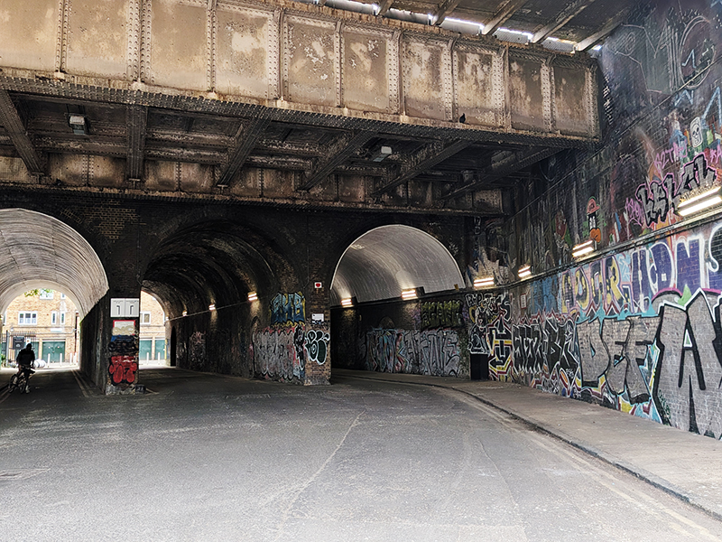
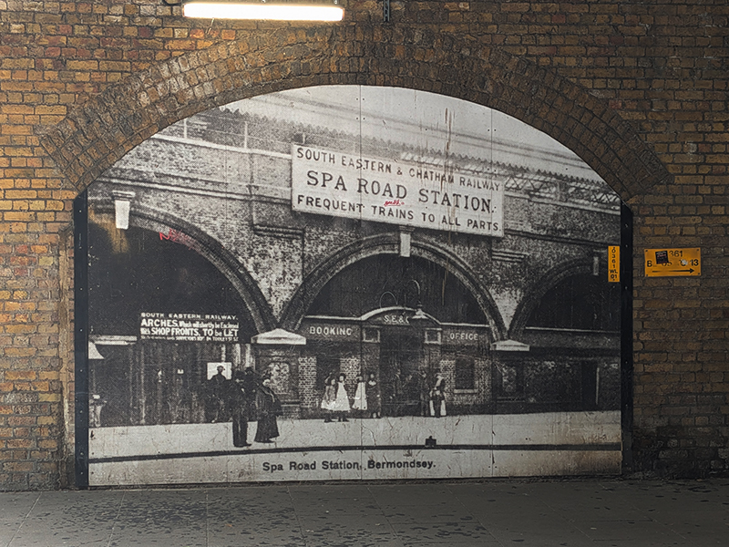
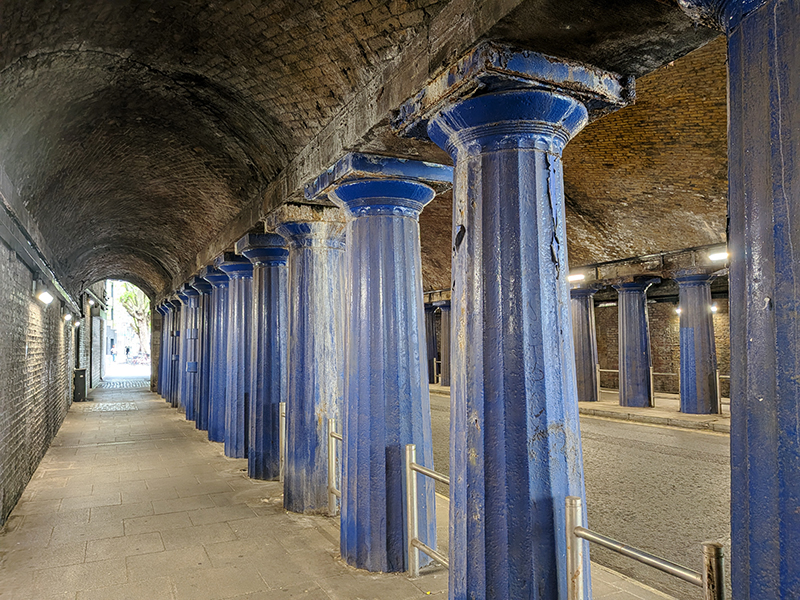
On Rouel Road we turn right down to Spa Road and make a return visit under the viaduct. As attested by the blown-up photograph mural beneath the bridge, this was once the site of Spa Road station the original terminus of the L&GR, the capital’s first railway. Opened in 1836, the station underwent several ownership changes, was rebuilt, changed its name, and relocated before closing in 1915 due to cost-saving measures during World War I. The tunnel is still supported by the original blue painted cast iron columns that line either side of the roadway.

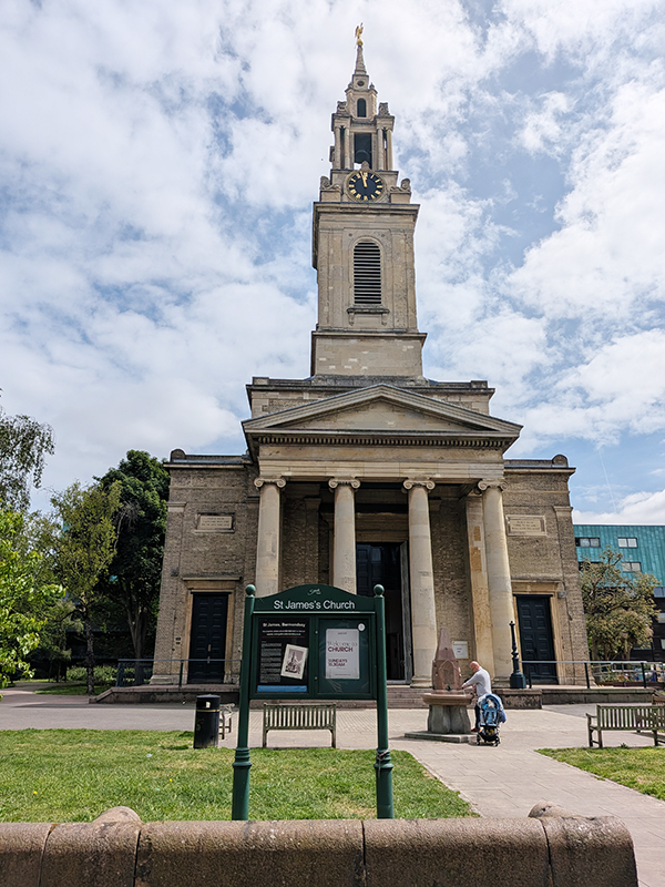
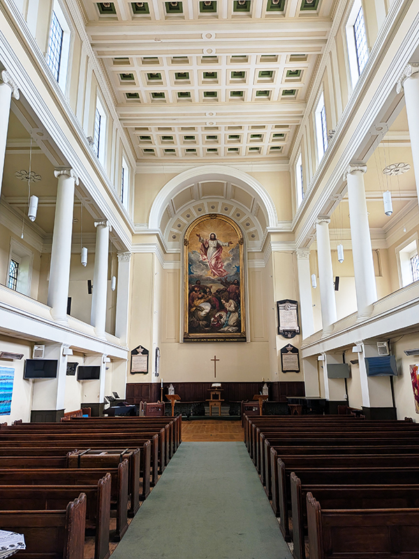
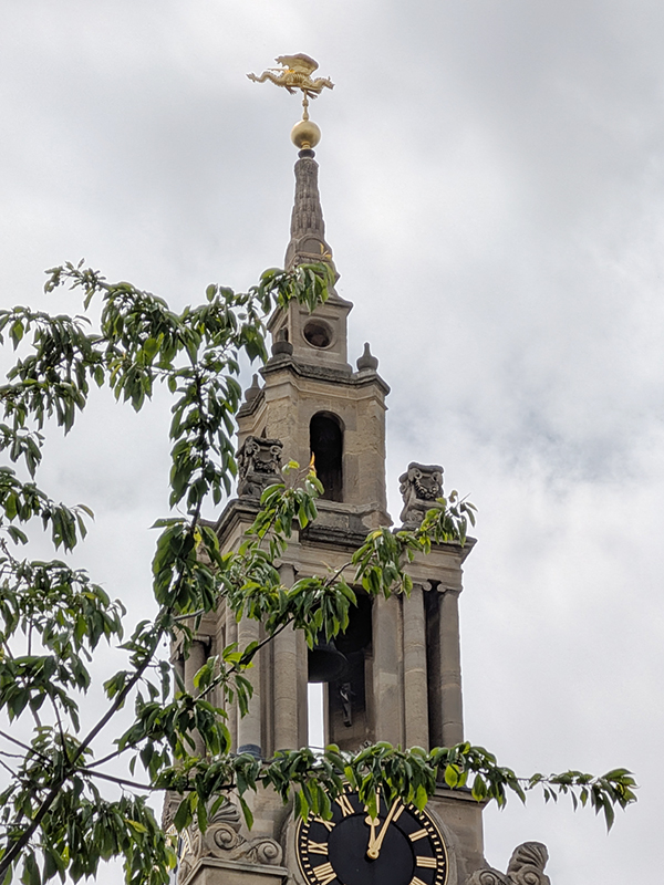
We look in on Ness Street then continue east to Thurland Road off of which stands St James Anglican Church. After the Battle of Waterloo a Commission was set up to build churches as a means of giving thanks and commemorating the victory. A sum of £1m was initially granted for their construction, in Acts of 1818 and 1824. South London secured seven of these so-called Waterloo Churches and group of Bermondsey churchmen successfully lobbied for a grant to build one of those seven having acquired the land on which St James was built. James Savage, the architect, modelled the church on the style of Greek Temples with galleries round three sides and the organ in the west. The bells were cast by the famous foundry of Mears of Whitechapel, from cannon left behind by Napoleon at Waterloo and a four-faced striking clock, costing £160, was put in the tower. The church was consecrated in 1829.

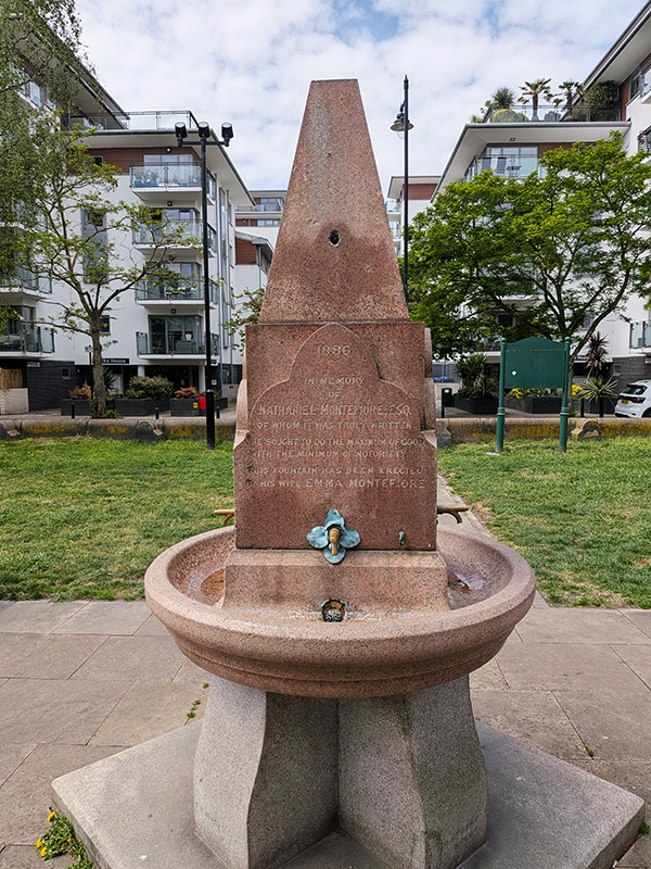
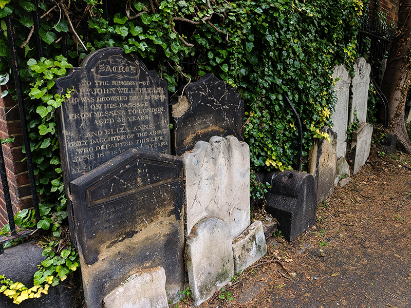
Sadly, I have been unable to find any further information about the death by drowning of a Captain John Hullin on Christmas Eve 1846, as recorded on one of the gravestones piled up at the back of the churchyard. There is no record of a shipwreck on that date although the straits of Messina (between Sicily and the Italian mainland) are known for their jeopardy. The Nathaniel Montefiore (1`819 – 1883), commemorated by the drinking fountain was a surgeon and philanthropist who practised at Guy’s Hospital. He died of a cold caught while attending a funeral in Berlin ( I suspect that wasn’t the inspiration for the Len Deighton novel).

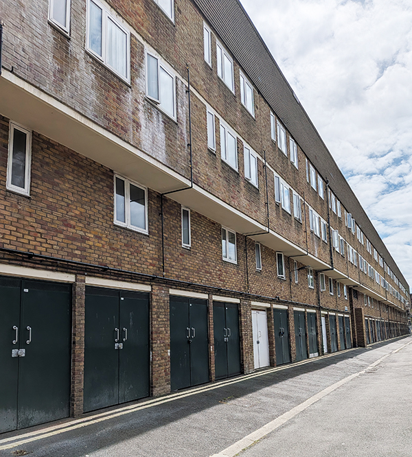
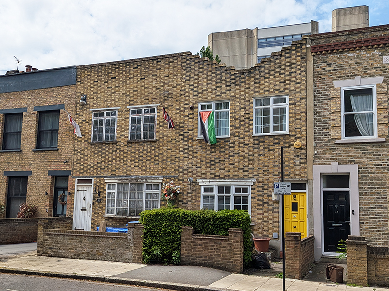
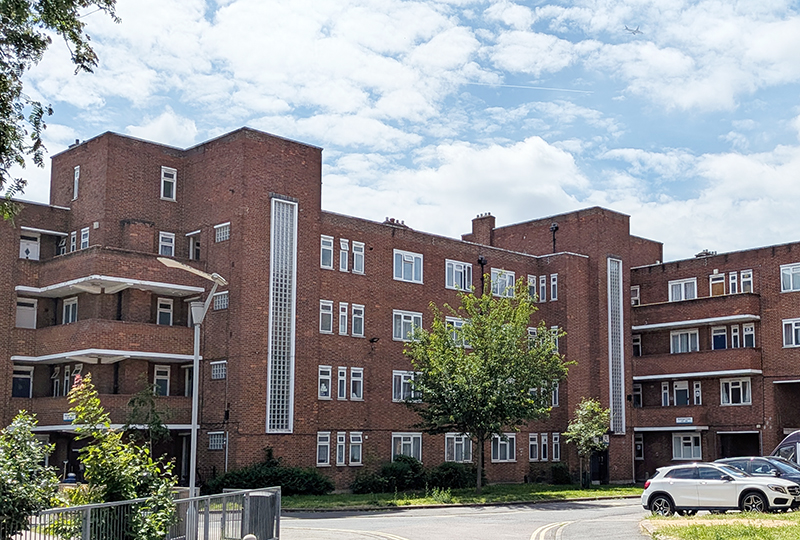
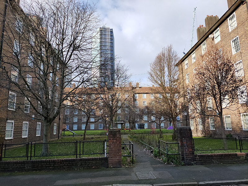
After leaving the grounds of the church we follow Frean Street (named for the Peak Frean biscuit factory that once existed nearby), Sun Passage, Old Jamaica Road and Marine Street back under the railway to Rouel Road. Heading south via Lucey Road and Yalding Road takes us past part of the Rouel Road Estate which is a particularly unlovely example of post-war public housing. In fact most of the housing estates in this area suffer in comparison with those encountered elsewhere in South London (so far at any rate). More England flags round here than I’ve been used to seeing as well; including this unlikely juxtaposition.

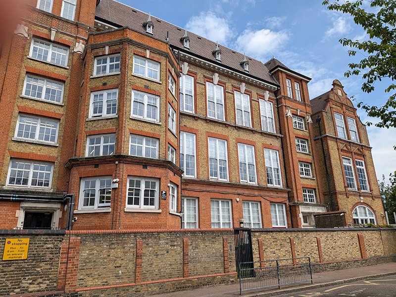
Arriving on Southwark Park Road we make our way east as far as Linsey Street which runs north into Alexis Street where we find the original school building of St James CofE Primary. This was constructed in 1877 as a London School Board facility and designed by the renowned architect E.R. Robson as part of the LSB’s massive push to educate inner-London children. Known affectionately as a “three-decker,” its classic Victorian layout stacked infants on the ground floor, junior girls on the first floor, and junior boys on the second. Nowadays, the building supplements the school’s main campus which is off Old Jamaica Road.

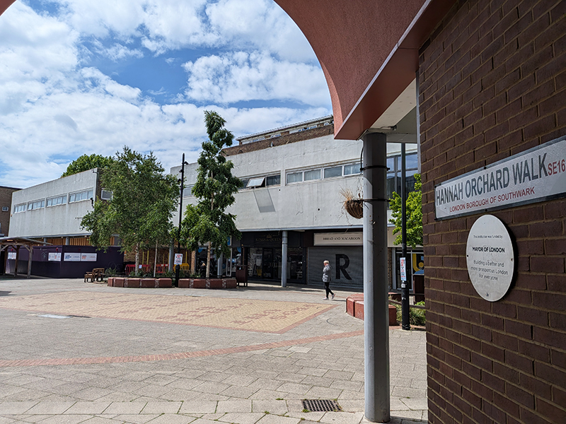
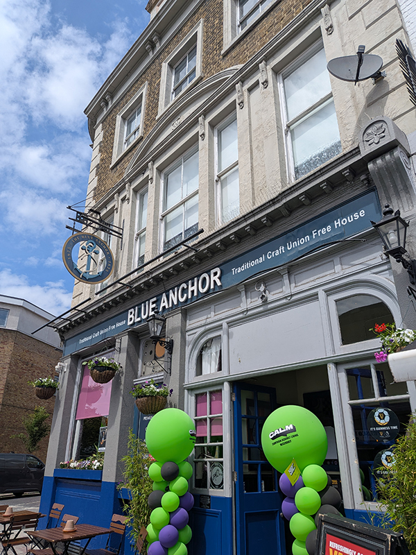
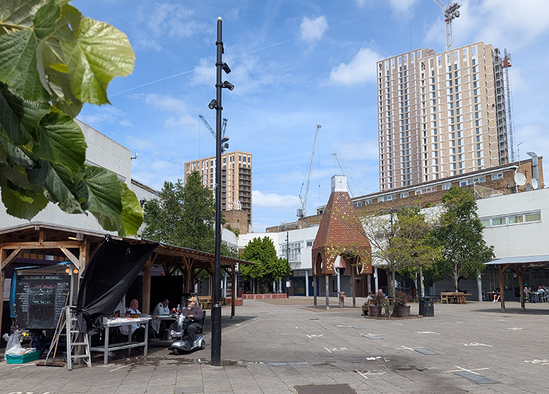
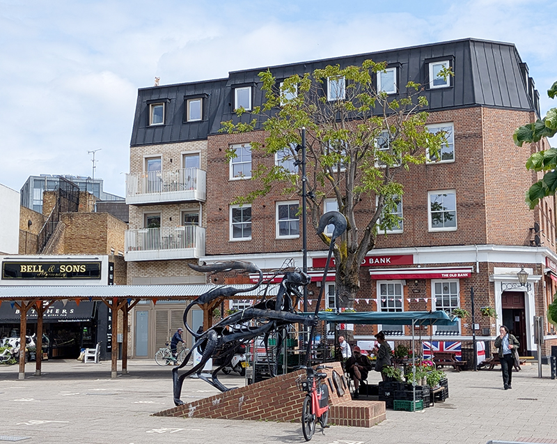
We round the corner into Macks Road then cut across the Rouel Road community garden to the top end of St James’s Road from here we make our way back to Southwark Park Road via Blue Anchor Lane and Bombay Street. As we make the return journey east we pass the Blue Anchor pub, the current incarnation of which has stood here since 1878. Prior to that the site was host to a “Blew Anchor” tavern as far back as at least 1695. Just beyond The Blue Anchor lies the Blue Market which has existed here for well over a hundred and fifty years; originally lining Southwark Park Road but moved to this purpose built square in 1976. Following regeneration in 2011 one of the access points, Hannah Orchard Walk, was named after a lady who worked in the market for more than eight decades starting in 1921. Despite the plaque proclaiming that the funding from the Mayor of London is “promoting a better and more prosperous London” reality doesn’t really bear that out. The market has room for 24 stallholders but there are reportedly only around 10 here on a regular basis and on this Thursday “Mr Fish Sole of Bermondsey” is holding the fort on his own. The pub on the square, The Old Bank, which is festooned with rather more flags of St George than warranted by the impending World Cup, is apparently popular with Millwall supporters (coincidence I’m sure). The statue, a representation of the Bermondsey Lion was created by Kevin Boys for Southwark Council and in 2011.

Back in the day it was was said that you could buy anything ‘Down the Blue’ and by fair means or foul, goods bound for the local factories found their way to the Blue Market, drawing legions of eager shoppers to the area. To a rather lesser extent the first part of that could be said to still hold true today.

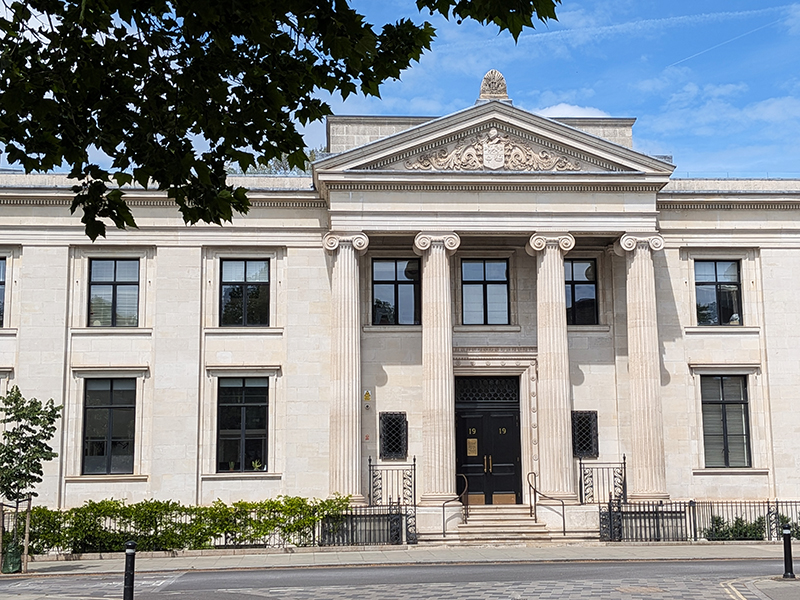
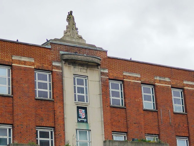
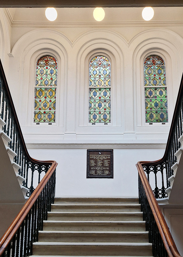
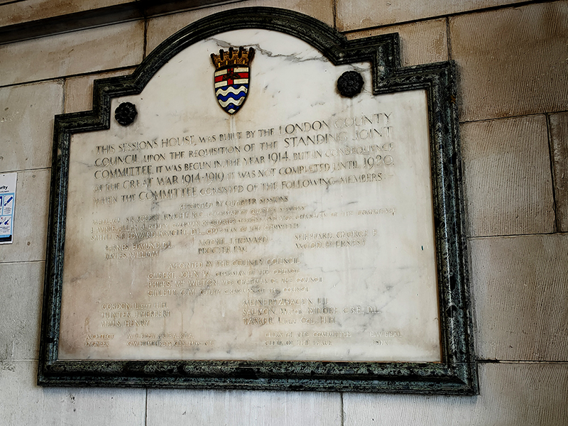
It’s a bit of a trek back along Southwark Park Road before, notwithstanding a detour into Henley Drive, we finally turn north again on Alscot Road which runs alongside Bermondsey Spa Gardens before hitting Spa Road opposite the former Bermondsey Town Hall. Built on the site previously occupied by Bermondsey Public Baths. The building was designed by Henry Tansley in the Greek Revival style and completed in 1930. The design involved a symmetrical main frontage with nine bays; the central section including a large three-bay, full-height, tetrastyle Ionic order portico. Internally, the main atrium on the ground floor featured a grand staircase and Doric order marble columns which supported an elliptical landing on the first floor and an elliptical domed ceiling above. The new building took over the role of headquarters of the Metropolitan Borough of Bermondsey during WWII but ceased to be the local seat of government when the enlarged London Borough of Southwark was formed in 1965. The Grade II listed building continued to be used as additional workspace by Southwark Council until 2010 before being converted into a block of apartments known as “Bath House Lofts” in 2014.

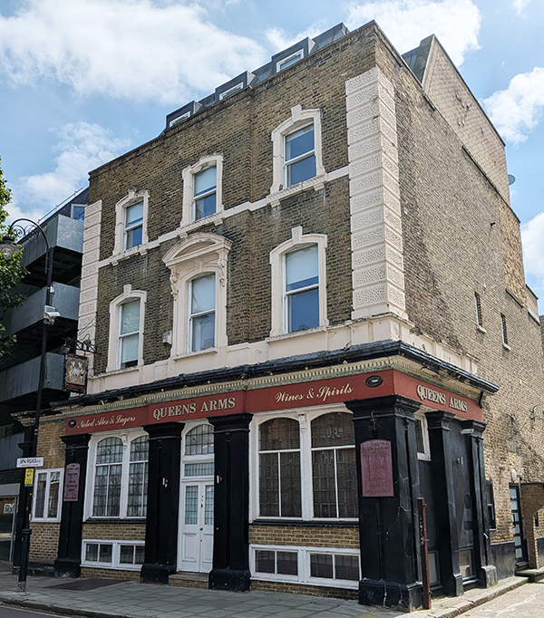
According to CAMRA, The Queens Arms, a short way to the east on Spa Road was converted into flats in 2016. If so, nothing has been done to disguise its pubbiness, which dates back to the early 19th century.

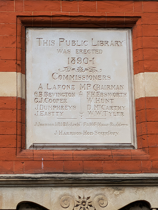
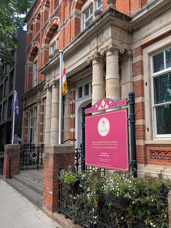
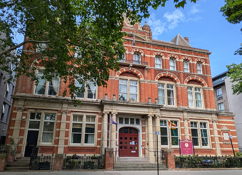
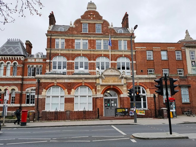
From here we make a circuit westward involving Neckinger, Grange Walk and The Grange to bring us back to Spa Road at its western end. En route we also take in several streets threaded through a development more recent than the map I was working from – Arts Lane, Limasol Street, Bakery Street and Woodmill Street. Just up from the old Town Hall is the original Bermondsey Public Library, also Grade II listed. This was built 1890-91 and was the work of John Johnson, architect and F and H Higgs, builders. It is in Flemish bond (a traditional bricklaying pattern created by alternating headers – the short end of the brick and stretchers – the long side within the same course) with terracotta and stone trim.  This was one of the first free public libraries in London and remained operational as such until the 1980s after which it was used as office space by London Borough of Southwark. In 2009 it was sold to the Kagyu Samze Dzong London Buddhist community to be used as a Tibetan Buddhist Meditation Centre for World Peace & Health.

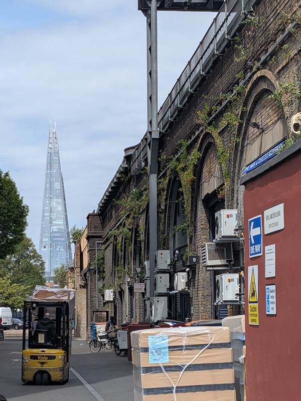
Having covered the full extent of Spa Road we follow Enid Street southwest alongside the railway viaduct again, a stretch that is one of the main components of the Bermondsey Beer Mile. On the other side of the street lies the Neckinger Estate. The estate was built in 1938 by the Bermondsey Borough Council to provide affordable housing for local workers and occupies the site of historic tanneries and the 18th-century Neckinger Mills. It gets its name from the River Neckinger, a tidal tributary of the Thames, the remains of which are subterranean apart from the final few hundred metres that flow into St Saviours Dock (see further on).

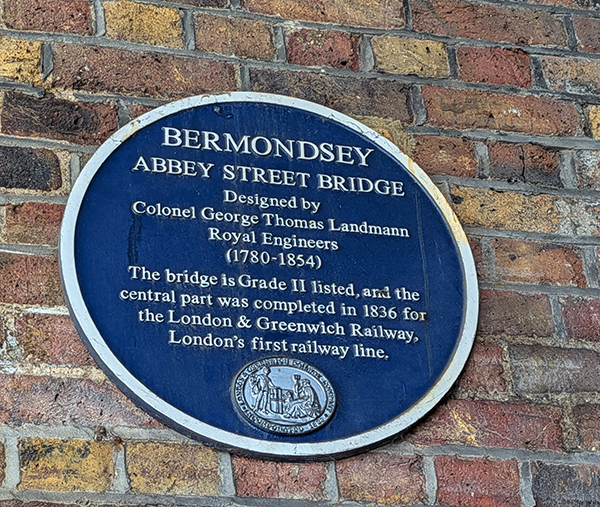
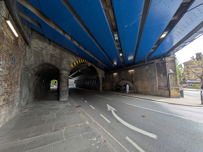
At the end of Enid Street we emerge onto Abbey Street at the southern entrance to the tunnel underneath the Abbey Street Bridge, another of those that were built in 1836 to carry the London and Greenwich Railway.

We don’t cross under the bridge however; we turn left instead and then immediately right into Gedling Place which takes us under the railway to Druid Street where we continue into Sweeney Crescent and make our way down to Jamaica Road. After a short westward stint on Jamaica Road we turn north and follow Shad Thames down to the river. In the 19th century, this street and its neighbour, Maguire Street, were home to the largest warehouse complex in London. From the mid-1980’s onward, as with Wapping on the other side of the river, the wharves have been converted to house upmarket apartments and associated restaurants and leisure facilities. Originally built in 1873, the warehouses here stored huge quantities of tea, coffee, spices and other commodities, which were unloaded and loaded onto river boats. For this reason, the area became known as the ‘larder of London’. During the 20th century, the area went into decline as congestion and containerization forced shipping to unload goods further east, and the last warehouses closed in 1972. In 1989, the Design Museum, brainchild of Terence Conran, opened its doors in a converted banana warehouse in Shad Thames. In 2016, however, it moved to a new location in Kensington. Among the most striking features of Shad Thames are the walkways which criss-cross the street high overhead. Most of them now connect the Butlers Wharf building and the Cardamom Building and were originally used as bridges to roll barrels and the like between warehouses.

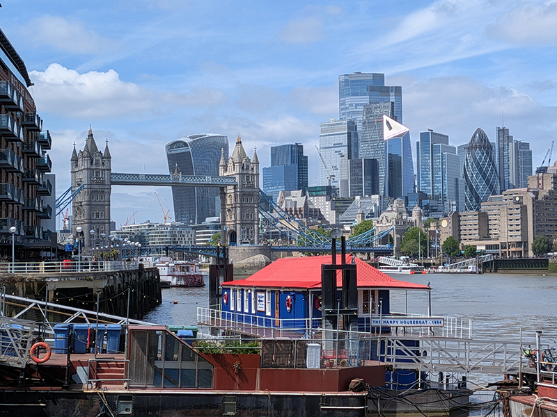
Having reached the river we are afforded panoramic views of Tower Bridge and the City to the west and Canary Wharf to the east.

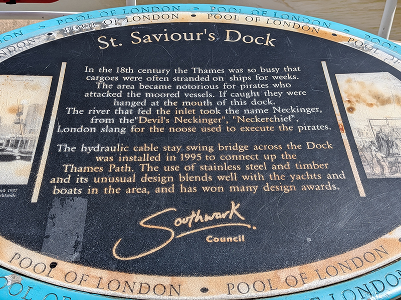
A few paces further downstream we arrive at St Saviours Dock where what is left of the River Neckinger dribbles out into the Thames. The river’s name translates to “Devil’s Neckerchief” or hangman’s noose, likely referencing the gibbets where pirates were executed. In 1995 a hydraulic cable stay bridge was installed across the dock to connect up the Thames Path, and we duly take advantage of that today.

As we proceed parallel to the river along Bermondsey Wall West we pass St Saviours House, a former factory that was also, inevitably, converted into apartments. What was once manufactured in this building is seemingly unascertainable but the area was once a real hub of industry, in particular the production of biscuits.

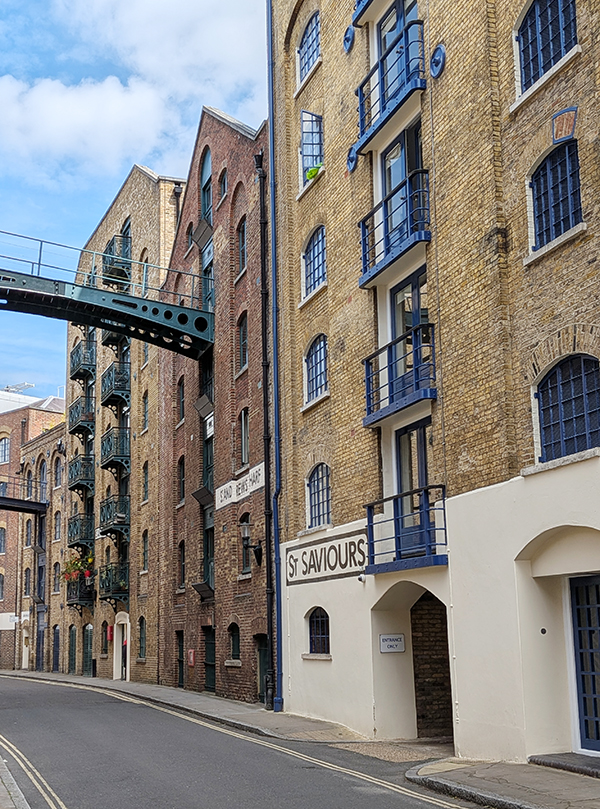
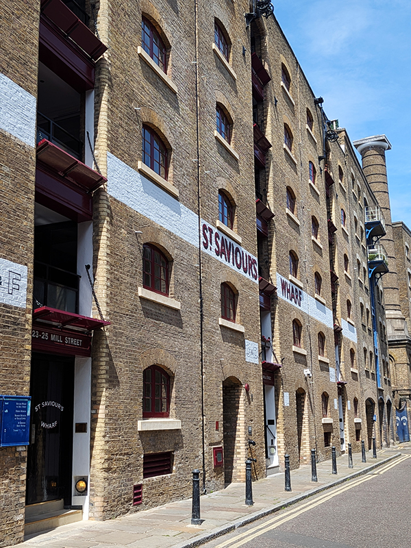
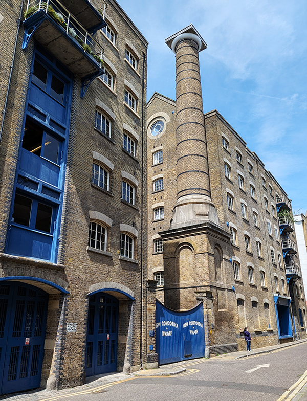
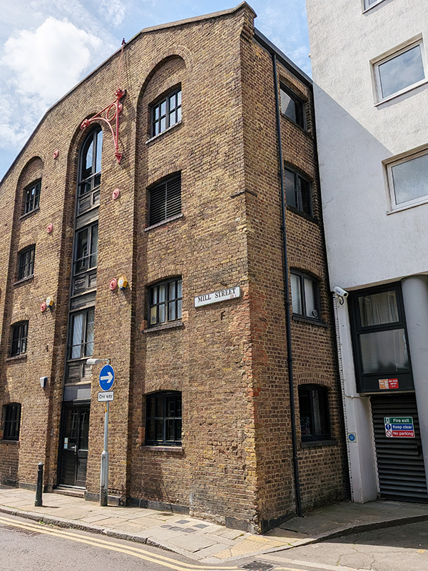
By way of Flockton Street, Chamber Street and Jacob Street, which was once home the Spillers dog biscuit factory, we double back to Mill Street which runs along the back of St Saviours Wharf and New Concordia Wharf on the eastern bank of St Saviours Dock. Both these warehouses are Grade II listed; the former was built around 1860, the latter, constructed c.1882, also included a cornmill (hence the water tower and chimney). Conversion of both buildings occurred in the early 1980’s. The area to the east of Mill Street was once known as Jacob’s Island and was a notorious slum in the first half of 19th century. Charles Dickens used Jacob’s Island as the setting for Bill Sikes’ lair where the Oliver Twist villain is cornered and meets his demise at the end of the novel.

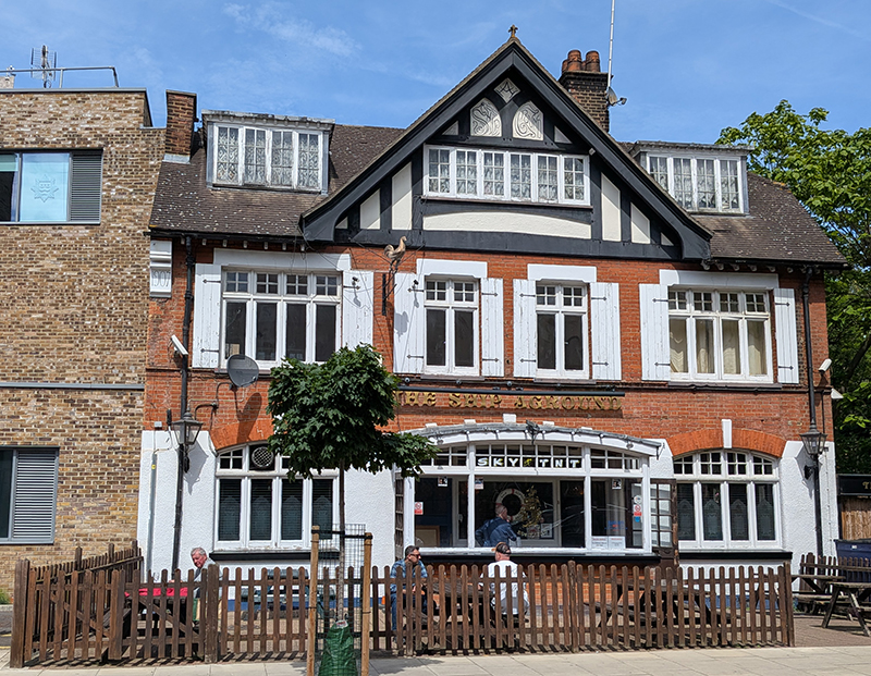
Leaving Mill Street via Wolseley Street we finally reach our pub of the day, the unassuming The Ship Aground. This former Courage house is situated next to Bermondsey Fire Station and featured in the 90’s TV series London’s Burning. They don’t do food so I had to make do with crisps to accompany my half a cider. The staff were very friendly (though it’s always a bit disconcerting to be referred to as my lovely by someone half your age) and the toilet was pretty smart too.

Having finished my drink I head back up to Jamaica Road on Parkers Row and Dockhead (careful with the typing there). W.R Jacobs, the (originally Irish) company responsible for the eponymous crackers, Club biscuits and Twiglets, had a factory that occupied the site between Dockhead and Wolseley Street. This site closed down in 1989 but the company, which is now part of United Biscuits, itself owned by a Turkish-based conglomerate, still produces 55,000 tons of snacks and biscuits annually from its factory in Aintree, Liverpool.

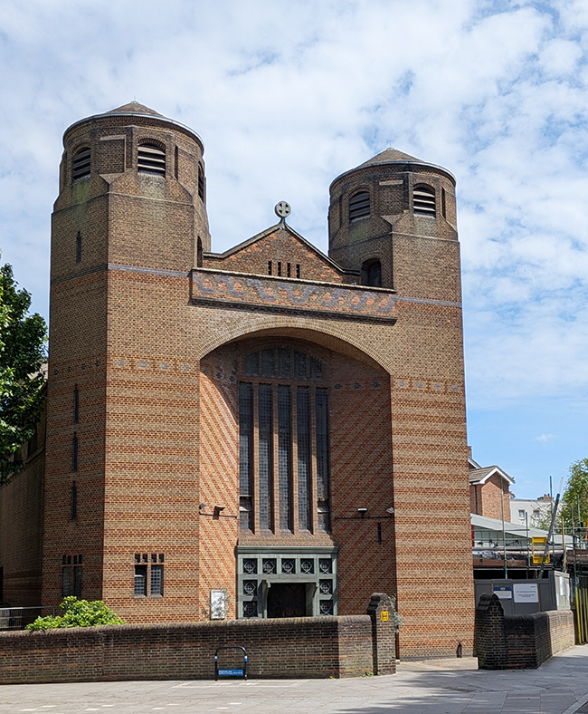
In between Dockhead and Jamaica Road lies the Roman Catholic, Most Holy Trinity Church. The original Catholic chapel here, the Dockhead Mission, was built in 1773 but only lasted seven years before being demolished in the Gordon Riots. More than 50 years later, in 1837, a replacement was built in the Early English Gothic style. That church was then destroyed by a German V-bomb in 1945. The present church, another Grade II listing, was the final work of architect Harry Stuart Goodhart-Rendel (1887-1959), a prolific designer of Roman Catholic churches. Construction began in 1957 but the church wasn’t consecrated until 1960 by which time Goodhart-Rendel had passed on. The church, with its yellow and red brick polychrome patterns, was completed by the successor practice of F.G. Broadbent and Partners.

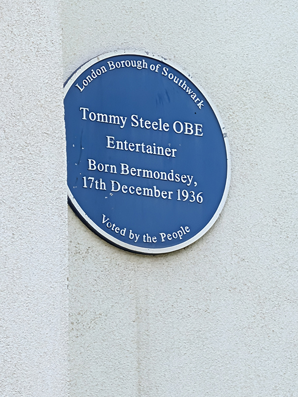
About 200 metres east on Jamaica Road we turn north again on George Row. On the side of Nickleby House is a Southwark Council blue plaque marking the fact that the all-round entertainer (Sir) Tommy Steele (1936 – ) was born in Bermondsey (though nobody seems to be sure where exactly). He was born as Thomas Hicks but by the time he had his first hit record, “Rock With The Caveman” in 1956, he had adopted the stage name. A series of chart smashes followed in quick succession as Steele became Britain’s first teen idol and bona-fide rock n’ roll star (notwithstanding the tameness of his material). So rapid was his rise to fame that as early as 1957 a biographical film documenting it, “The Tommy Steele Story”, was produced. Steele shifted away from rock and roll in the 1960s, becoming an all-round entertainer. He originated the part of Kipps in Half a Sixpence in the West End and on Broadway, reprising his role in the 1967 film version. As an actor, he went on to appear in the films The Happiest Millionaire (1967) and Finian’s Rainbow (1968) and as the lead in several West End productions of Singin’ in the Rain. 

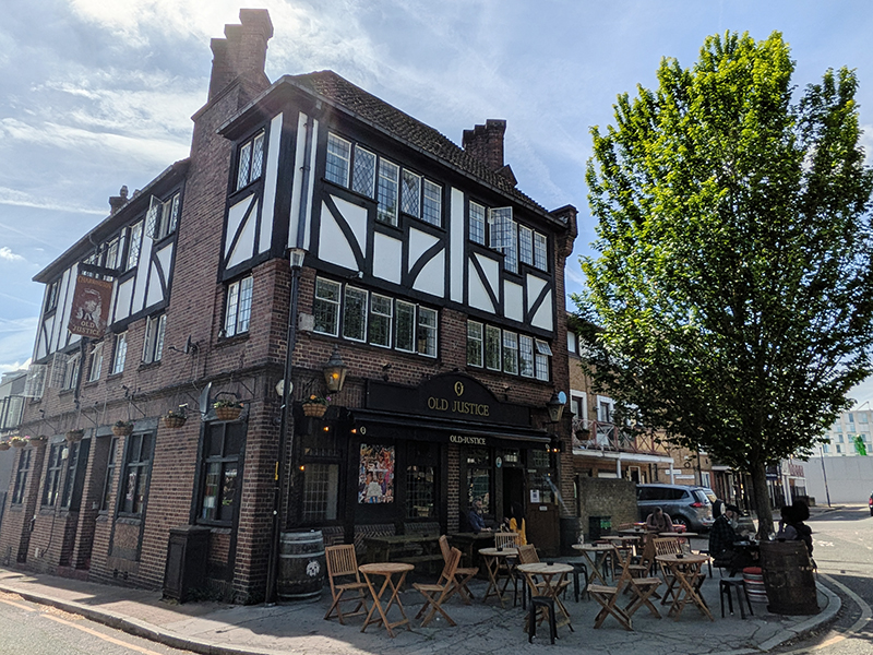
We work our way further east via Sugar Lane, East Lane, Scott Lidgett Crescent, Lewellyn Street, Chamber Street (once more) and Loftie Street before alighting on Bevington Street. Just round the corner on Bermondsey Wall East is one final pub, The Old Justice, another of those 1930s neo-Tudor style jobs. The architect was Sidney C Clark, regarded as one of the most accomplished inter-war pub architects. In 2017 planning permission was refused for the conversion of the pub to flats and it was Grade II-listed shortly after. Subsequently the building owner began unlawfully ripping out the historic interior but following enforcement action by Southwark Council, listed building consent was granted in 2021 for reinstatement of the interior. After a five year hiatus the pub reopened in 2023. It was famously used as a backdrop for Paul McCartney’s music video for No More Lonely Nights, a fact commemorated by the plaque which is just about visible in the photo below (next to the lamp on the right – squint !)

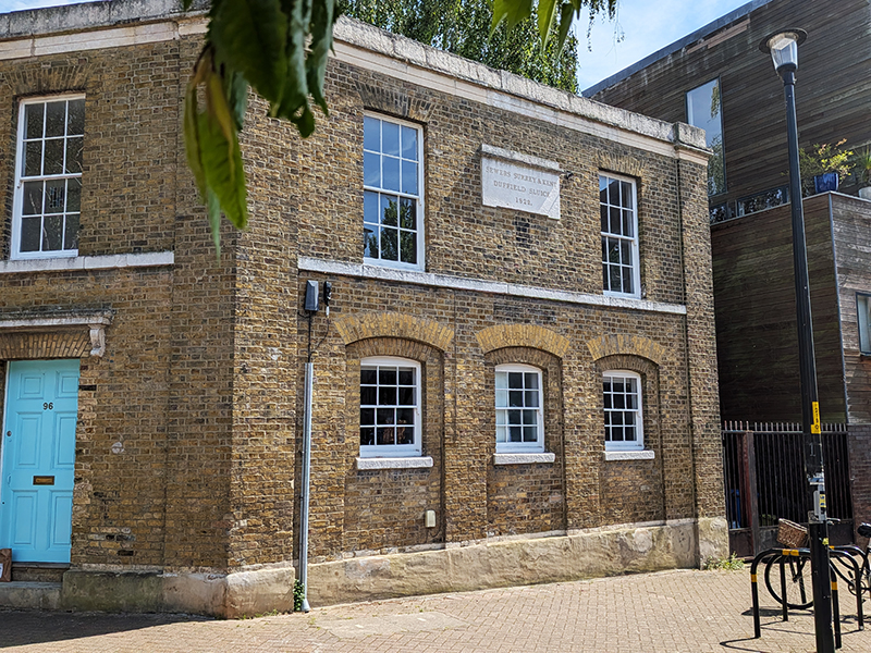
Opposite the pub is a former office block that is all that remains of a sewer pumping station constructed by the Surrey and Kent Commission of Sewers in 1822. At the time, this part of London was still part of Surrey, and this particular commission can be dated to 1554, as its Letters Patent were granted by Queen Mary following a series of “gret wyndes and fluddes”. Sewers at the time were more about draining water to prevent flooding in low lying areas than the removal of human waste. Land Registry documents relating to a sale of the building in 1992 indicate that the sewers remain under the building and are still used by Thames Water.

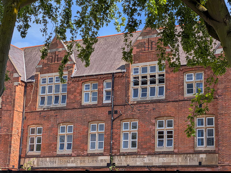
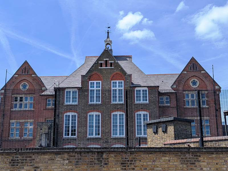
Farncombe Street leads up to another primary school dating back to the Victorian era that is still used for that purpose today. Farncombe Street Board School was built in 1874 by the London School Board in the ecclesiastical Gothic Revival style popular at the time and is yet another Grade II Listing because of this. The steeply pitched outer gable ends have stone quatrefoils with three light slits above, while the whole building is capped with a cupola containing the school bell, itself capped with a weather vane. Today the school has around 250 pupils with a more or less 50/50 gender split. Almost half the children don’t speak English as a first language notwithstanding which the proportion of them deemed to meet the expected standard for reading and writing is significantly above the national average.

For the last leg of today’s journey we move from Farncombe Street into Emba Street then on to Wilson Grove and back to Jamaica Road via Janeway Street and repeat visits to Scott Lidgett Crescent and Bevington Street. 100 metres to the east and we’re back at Bermondsey Tube Station.

Day 84 – Walworth Road – Penton Place – Kennington Park

A grey day towards the end of March and a complete contrast from the previous outing sees us make another foray into the southlands. To be specific, we’re venturing beyond the Elephant and Castle into the territory that expands southward between the Walworth Road and Kennington Park Road. This area is predominantly occupied by Southwark-council run public housing so, unsurprisingly, the gentrification that we’ve seen making inroads in adjacent locales barely scratches the surface here. No museums or blue plaques (apart from one kind-of) to distract us today then but still plenty to take note of. It’s also an area that suffered considerable damage as a result of the Luftwaffe’s bombing campaign in late 1940.

From Elephant and Castle tube we head a short way east on the New Kent Road the follow Elephant Road down to the Walworth Road. The railway arches here and further south and the Walworth Road itself are where all the activity in this area happens. Outside of that I hardly see another soul apart from a couple of dog-walkers and a cycling proficiency group until I get to Kennington Park.

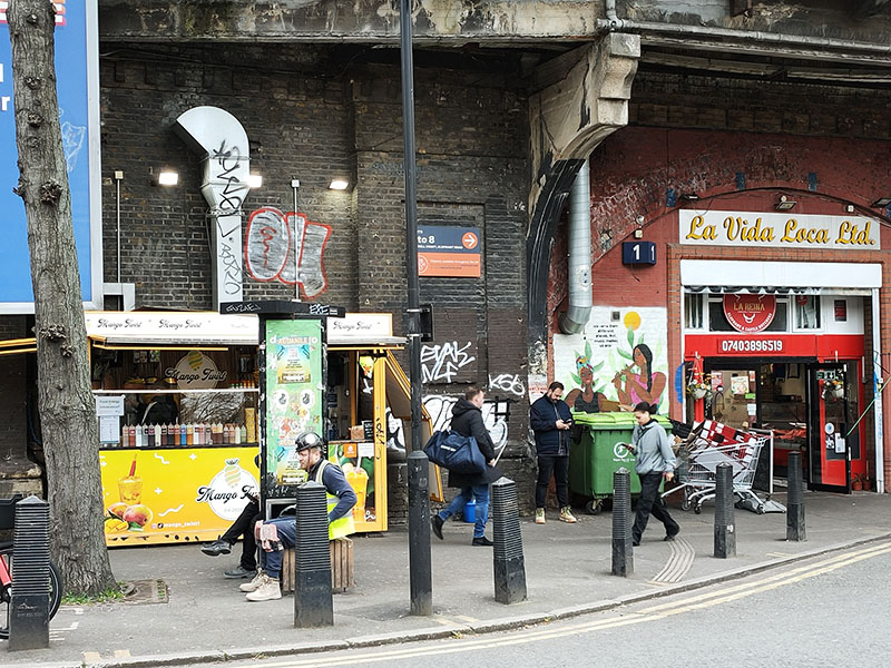
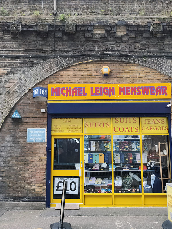
We make a right turn into Hampton Street then immediately continue to follow the rail line south on Spare Street and then Robert Dashwood Way. I can only surmise that the latter is named after one of the two holders of the Dashwood Baronetcy (which has its seat in West Wycombe, Buckinghamshire near to where I grew up) that were Roberts but I can find no connection between either of them and this part of London. The arches along these two access roads are pretty well occupied with a variety of enterprises, including this somewhat incongruous menswear outlet. (I was tempted to take a look as a change from TK Maxx but didn’t need any extra load to carry around with me).

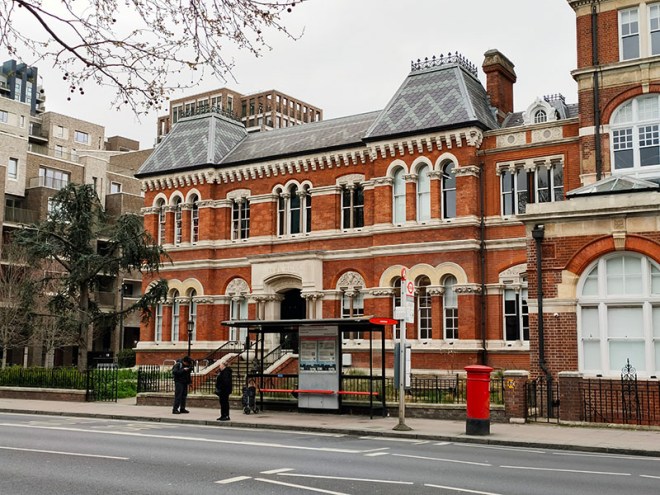
We return to the Walworth Road via Amelia Street and as we head back north temporarily we pass Walworth Town Hall which is over on the east side of the road. Originally named Newington Vestry Hall, it was built on land previously owned by the Worshipful Company of Fishmongers. Opened in 1865, it was designed by Henry Jarvis in the Italianate style, built by Piper and Wheeler and financed by a loan from Edward Chambers Nicholson, a wealthy local chemist.  When Newington became part of the Metropolitan Borough of Southwark in 1900 the building served as Southwark Town Hall. It ceased to be a headquarters of local government in 1965 when the London Borough of Southwark was created. It was subsequently used as workspace by the council, becoming known as “Walworth Town Hall”, and was also used as the local registrar’s office. The roof of the building was badly damaged by a fire in March 2013 and the building was subsequently added to the Heritage at Risk Register. In 2018, architects Feix & Merlin were appointed to restore the Grade II listed building and the adjacent Newington Library and Cuming Museum and create office and coworking spaces tailored to small and medium-sized businesses with room for up to 550 occupants. In 2024 I took a tour of the building as the renovations were nearing completion (the photos of the interior of the building in the slideshow below date from then). To see what it looks like inside now go to https://architecturetoday.co.uk/walworth-town-hall-feix-and-merlin-general-projects/

Steedman Street takes us back to Hampton Street from where we follow Canterbury Place through the Newington Estate. In theory at least; in reality it’s more of a tortuous ramble that delivers us onto Penton Place.

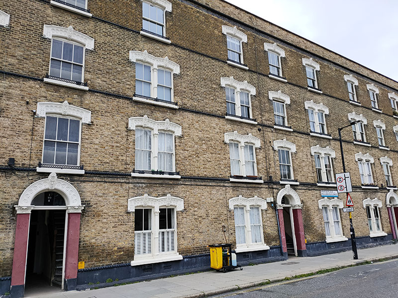
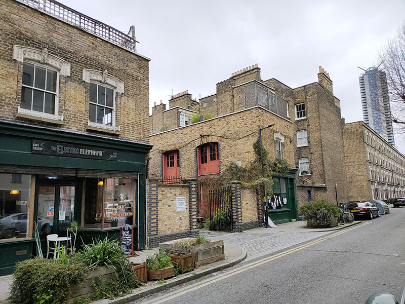
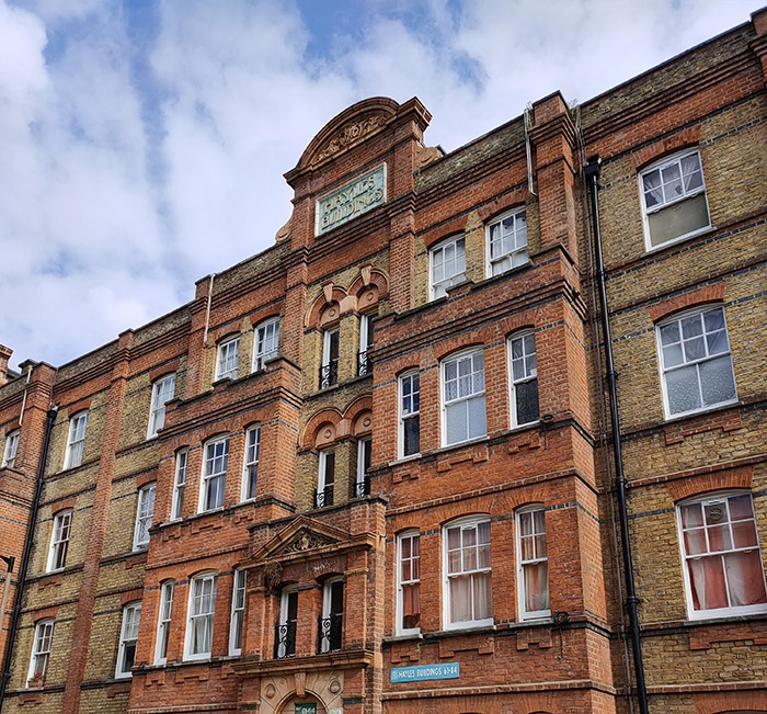
The Pullens Buildings, located on Penton Place and some of its adjoining streets are some of the last Victorian tenement buildings surviving in London. The Pullens Estate was built by James Pullen, a local builder, who acquired the land and developed it over a 15-year period from 1886. Unlike any thing else I’ve encountered on my travels, the four-storey residential buildings are faced with yellow stock brick and enriched with the use of decorative terracotta arches to the door and window openings. The full estate originally comprised 684 dwellings in 12 blocks but a V1 bomber reduced that number and post-WWII many of the remaining properties fell into disrepair. In the 1970s, the council planned to demolish the buildings but were thwarted by an alliance of the Pullens Squatter Organisation and the Residents’ Association which fought successfully to save them with a campaign of direct action and solidarity which culminated in the construction of barricades to stop police and bailiffs entering the buildings. Today around half of the remaining 351 flats in the buildings are local authority-owned with the rest in private leasehold ownership.
We turn off Penton Place onto Iliffe Street, where supermodel Naomi Campbell once lived, according to one source, and look in on Peacock Street before alighting onto Crampton Street.

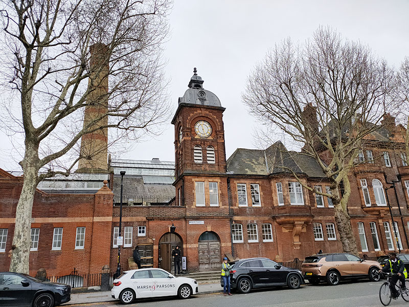
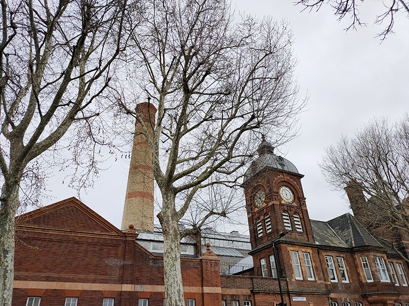
Having circumnavigated Pullens Gardens by way of Amelia Street and Thrush Street we continue south on Crampton Street to Manor Place. Directly facing us is Manor Place Baths,  a Grade II listed former public baths, swimming pool and boxing venue built in 1895 to a red brick and terracotta design by the company of Edward I’Anson (who was responsible for the Royal Exchange Buildings in the City of London). The baths originally had a first- and second-class pool for men, as well as a pool for women known as the “small swim”. Mixed-gender swimming was introduced in 1904. The first-class pool was 120 ft long and boarded over in winter so that the space could be used for sporting events, concerts and other public meetings. Boxing at the baths started in 1908 and boxers who fought bouts there included the Kray twins as well as Ken Buchanan,  Henry Cooper and Terry Spinks. The building survived the bombs of WWII but fell into later disuse as a public baths as apartments in the area began to have bathrooms installed. The baths closed as a public facility in 1976 but continued as a boxing venue until a final show in 1978. By 1995 it was in a dangerously poor condition with no viable use. In 1996 it was Grade II-listed and placed on the Buildings at Risk Register by English Heritage. The building was used by Southwark London Borough Council as offices until 2005, when Tibetan Buddhist organisation Kagyu Samye Dzong London obtained an initial five-year lease to use the building as a temporary home. They renovated the building and used it as a meditation centre with regular classes and retreats until 2015 by which time it had been purchased by Notting Hill Housing to be converted into residential accommodation and commercial space.
As we head east back to Walworth Road we make a detour onto Occupation Road which retains some signs of the area’s industrial past alongside contemporary residential development.

Back on Walworth Road we’re faced with two very 21st century establishments sandwiching one which harks back almost to the 19th.

A little way further down the street is the entrance to the East Street Market which is a treat we’ll save for another day. On the far right of the picture you can just about see the plaque I mentioned at the outset. It doesn’t relate to any specific building but just notes that Charlie Chaplin was a local Walworth boy. (Spent part of his childhood in the Pullens Buildings in fact).

Making our way west again on Penrose Street we pass by Angel Place and then under the railway once more. Just on the other side of the tracks someone’s taken the idea of bringing a bit of the tropics to their front garden to something of an extreme..

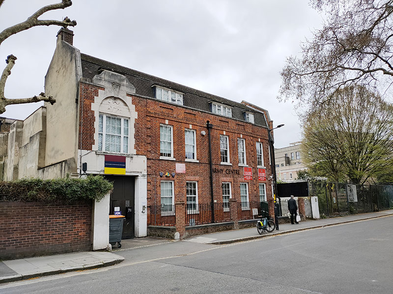
Next up a right turn onto Penton Place once more from where we head north as far as Berryfield Road then follow this, Tarver Road and Delverton Road down to Braganza Street. The Braganza Street Drill Hall originates from a pair of houses built in what was then known as New Street in 1833 and which were acquired by the 19th Surrey Rifle Volunteer Corps in 1865. The street was renamed in the 1930’s and the drill hall was substantially re-built at that time and the enlarged facility opened by the Duke of Gloucester in 1938. 217 (London) General Hospital Royal Army Medical Corps, was formed here in 1967 and a Medical Regiment continues to use the building to this day.

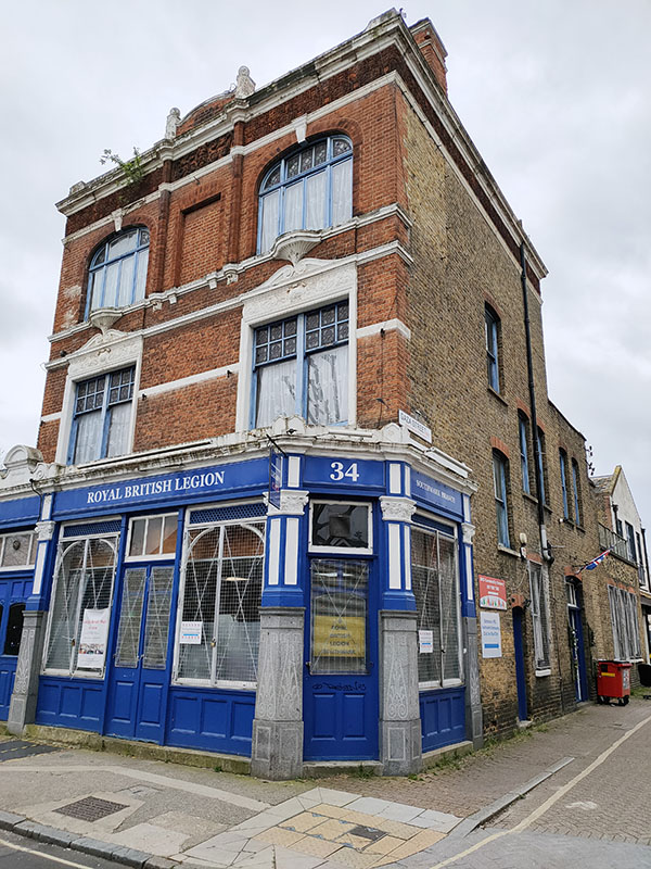
On the corner of Braganza Street and Gaza Street there is a British Legion Club (which is only open 4 nights a week). It would be interesting to know when and why this small side street came to be named Gaza Street but sadly that information is lost in the mists of time.

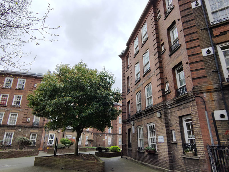
We return to Penton Place for the final time via Alberta Street and Ambergate Street then turn left to reach Kennington Park Road. Proceeding southward we pass the Guinness Trust Buildings. The Guinness Partnership, as it is now known, is one of the largest providers of affordable housing in England. It was founded in 1890 as a charitable trust by the then Edward Cecil Guinness, a great-grandson of the founder of the Guinness Brewery, to help homeless people in London and Dublin. The buildings here on Kennington Park Road were originally conceived by the architect Charles Joseph in 1913 but first, strike action in the building industry, then WWI delayed construction until 1921. This was Guinness’s first development built with the support of government funding. The original plans proposed the usual pre-war architecture for 160 tenements, but new public demand for self-contained, cottage-style housing and separate bathrooms prompted a change in design and a reduction in height to height to four storeys. This meant that whilst earlier estates had been built for between £79 and £169 per tenement, Kennington Park Road cost £807 per unit (without the cost of the land).
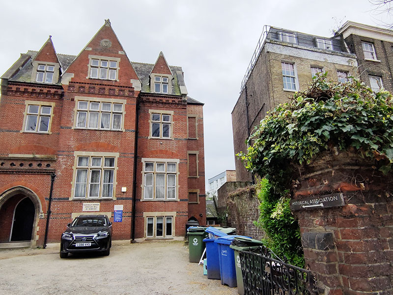
A little way further down Kennington Park Road is the home of The Historical Association, a registered charity founded in 1906 by a small group of history teachers and academic historians to support the growing need for good history resources in schools. Today the mission is to “support the teaching, learning and enjoyment of history at all levels and bring together people who share an interest in and love for the past”. (Good stuff – perhaps I should sign up).

Just beyond Kennington tube we turn back on the Braganza Street and almost immediately resume in a southerly direction on De Laune Street (named after a prominent Huguenot family who came to London in 1572 to escape religious persecution in France). Sharsted Street, Harmsworth Street and Faunce Street take us to Doddington Grove which comes as something of a surprise. The most remarkable thing about this street is its width. Only on a couple of other occasions have we encountered a street this wide; with on-street parking on both sides and two clear lanes in the middle. The other strange thing about the street is the overwhelming contrast between its two sides. The west side consists of a row of late Victorian terrace houses that look like they’ve somehow been transported here from Pinner while the east side is dominated by the monolithic blocks of the Doddington Grove Estate.

From the northern end of Doddington Grove we double back by way of Chapter Road, Westcott Road and Cooks Road to arrive on Kennington Park Place which (naturally enough) runs alongside the top of Kennington Park.

Kennington Park was the first open space in Lambeth to be dedicated for public use, opening in 1854. Prior to that it was known as Kennington Common and was indirectly owned by the Duchy of Cornwall. In April 1848, 25,000 supporters of the Chartist Movement assembled on the common to press their demands for a ‘National Charter’ of rights for the working classes. The Park contains the Prince Consort’s Lodge which was originally built for the Great Exhibition of 1851 in Hyde Park as a ‘model dwelling’ and was re-erected here after the end of the Exhibition.

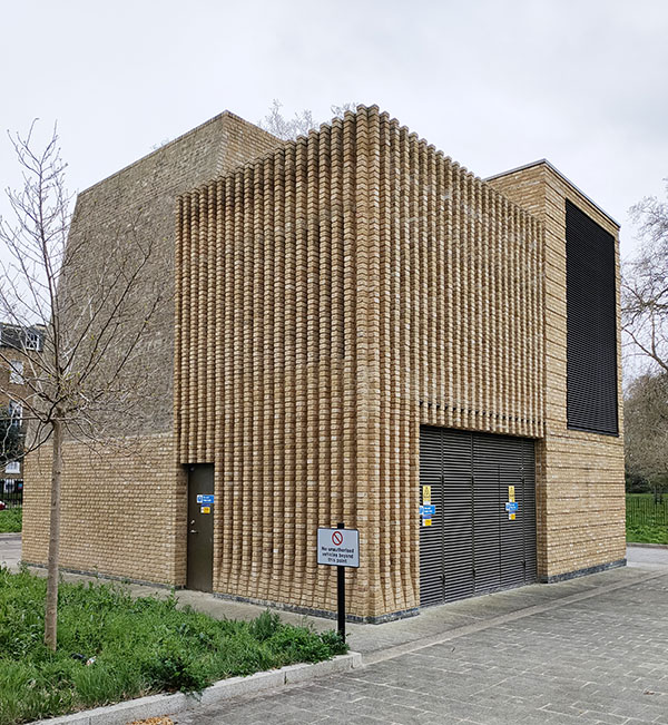
The north east corner of the park is home to one of the two ventilation shafts constructed for the Northern Line extension from Kennington to Battersea Power Station. The shaft is obviously underground but requires a structure on the surface, known as a head house, to provide access and to house ventilation fans and other equipment.

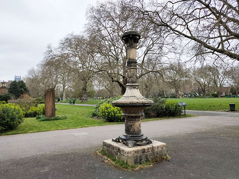
This pillar is all that remains of the Tinworth Fountain a large ornamental fountain created in 1872. The pillar originally supported a fountain bowl, a taller, slimmer column and a sculpture, The Pilgrimage of Life, the work of George Tinworth, the resident sculptor at Doulton’s Lambeth factory. The sculpture showed a man carrying a cross with a woman and child. The fountain was damaged irreparably during the Blitz while the sculpture survived until 1981. On 15 October 1940, a German bomb hit a crowded air raid shelter in the park, causing one of the worst civilian disasters in Lambeth during WWII. Roughly 104 people were killed when the underground trench shelter collapsed. The memorial in the background above, unveiled in 2006, commemorates this tragedy.

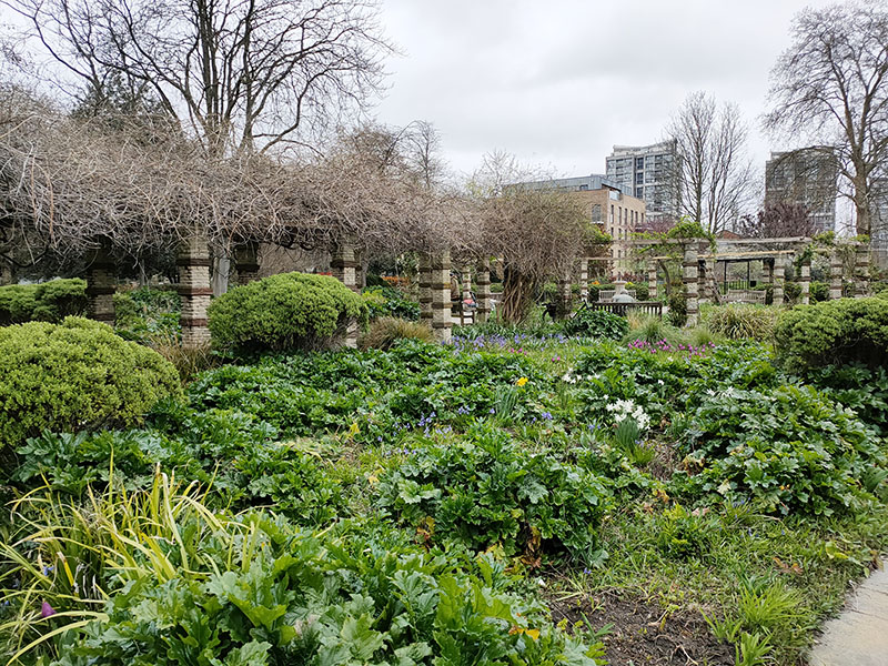
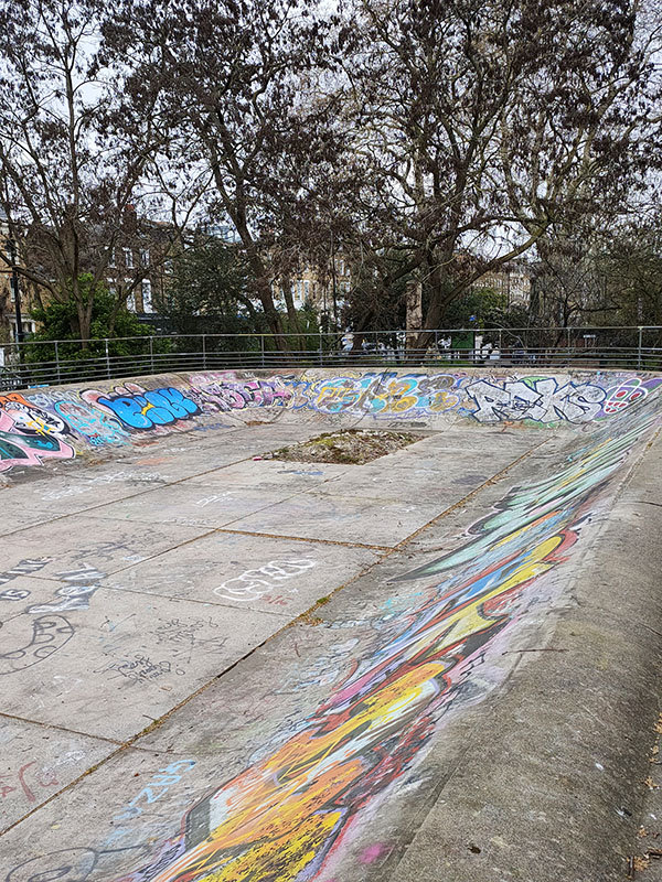
The flower garden at the southern of the park was originally opened in 1931. After falling into gradual disrepair in recent decades it was restored thanks to a grant from the Heritage Lottery Fund and reopened in 2015. Although we’re on the cusp of Spring there weren’t too many flowers in evidence yet, apart from a few tulips. Still, at least it’s in better shape than the skatepark.

We exit the park onto St Agnes Place, immediately opposite the church of the same name. The original St Agnes Church on this site was built in 1875 and designed by George Gilbert Scott Jr. (son of the GGS responsible for the Midland Hotel, St Pancras and father of the GGS behind the iconic red telephone box). That first church was also destroyed in the Blitz and its current replacement was built in 1956 by Halliday and Greenwood to a design by Ralph Covell. St Agnes is a Church of England parish church in which worship follows the Catholic tradition.

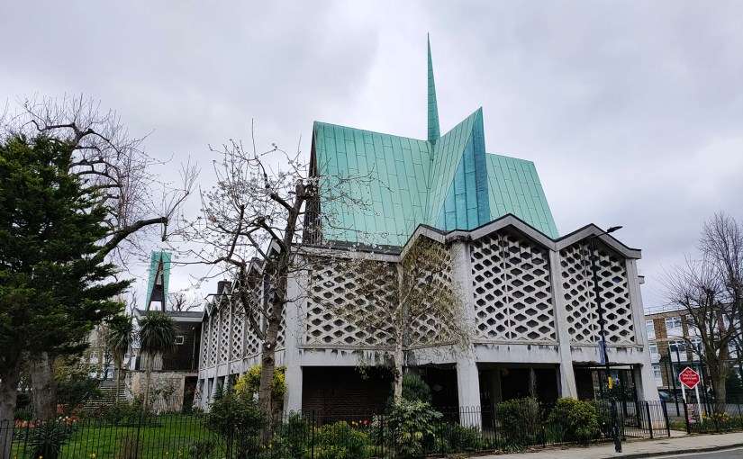
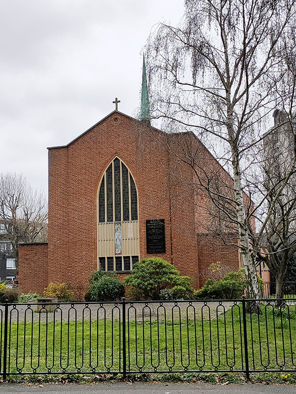
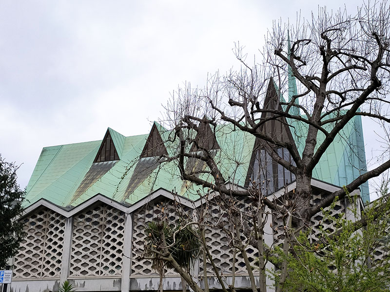
You wait eons for a modernist church built on the ruins of a bombed Victorian original then two come along in the space of ten minutes. Those ten minutes were spent negotiating Meadcroft Road, Kennington Park Gardens, Royal Road, Otto Street and Fleming Road to arrive at Lorrimore Square which is the home of St Paul’s Church. The current Grade II listed church was designed by firm Woodroffe Buchanan & Coulter and built in 1959–60. The building is a modernist, reinforced concrete buttressed form with a community centre on the ground floor and the church itself and church hall above. The “folded” roof is made of plate timber and coated in turquoise oxidised copper; it incorporates a series of triangles, symbolising the Holy Trinity. The external walls are a mix of brick, reclaimed stone from the original church, and artificial blocks, some incorporating multicoloured stained glass units. That original church was designed by local ecclesiastical architect Henry Jarvis and built in a Gothic revival style in the 1850’s.

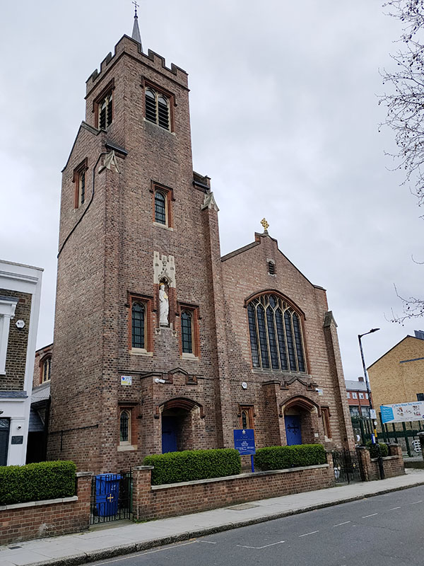
Just round the corner on Lorrimore Road, St Wilfrid’s Roman Catholic Church barely escaped the same fate as its neighbours.  This late Gothic composition in red brick was completed in 1915. In November 1940 it was struck, it is thought, by an anti-aircraft shell during a German air raid. Half the roof and one wall were blown away, the organ completely destroyed and the windows and doors ripped apart. The church was restored in 1948-1949 with the help of the War Damage Commission.

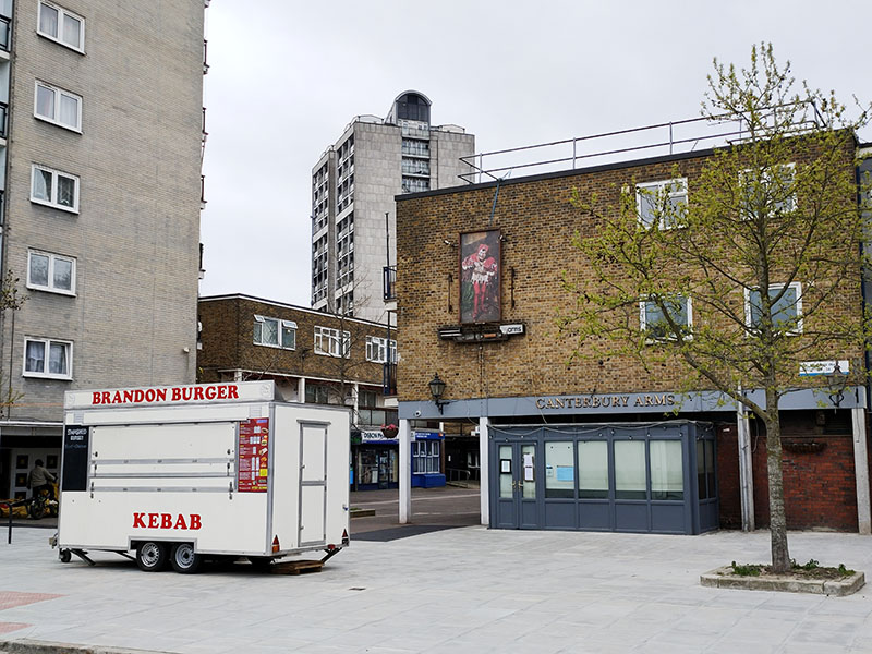
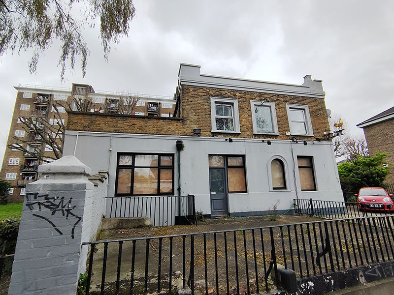
Once beyond the church we make a circuit of Forsyth Gardens then cover another section of Cooks Road. On the edge of the Brandon Estate is one of many abandoned pubs to be found in this vicinity. In terms of finding a “pub of the day” on this expedition the phrase “wild goose chase” springs to mind. On the plus side, at least the burger van wasn’t open to tempt the desperate.

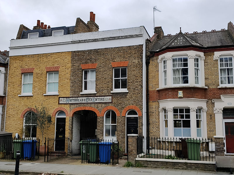
Next we’re turning off onto Hillingdon Street then cutting through Copley Close to John Ruskin Street (after the 19th century art critic that we named and shamed in the last post). I was intrigued by a sign reading “Whitbread & Co’s Entire” above an alley on the south side of the street. Apparently this once led to the back entrance to the long defunct Grosvenor Arms pub on the eponymous parallel terrace. The “Entire” refers to “Entire Butt Beer,” a popular type of porter in the 18th century that was a blend of different beers, which Samuel Whitbread helped popularize.

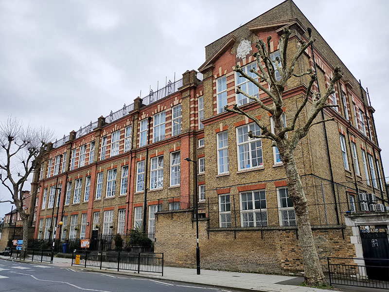
A bit further east is the John Ruskin Primary School, designed by renowned Victorian school architect Thomas Jerram Bailey and opened in 1899.

We cut through Dichton Court to return to Hillingdon Street then work our way north via Heiron Street, Olney Road, Draco Street and Chapter Road to Carter Street. This is where you’ll find another victim of the great pub die-off. The Beehive supposedly dates back to 1830 and had something of a colourful existence (especially in its early years) until COVID did for it. The now largely forgotten sport of pedestrianism (a form of race-walking) was hugely popular in the mid-19th century. Apparently beginning with members of the aristocracy betting on races between their footmen. There are many reports of these races taking place at the Beehive in the 1840s and they often attracted crowds of 3,000 or more. In 1837 a monkey parachuted onto land next door to the pub. This was part of Mrs. Graham’s spectacular balloon show at the nearby Surrey Zoological Gardens. The unfortunate creature was dropped in a small cage from around one hundred feet in a primitive parachute but had been blown off course when it had not opened properly. Local campaigners have successfully seen off two attempts by the landlords to convert the property into flats but its future currently seems uncertain.

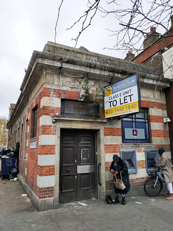
Having returned to the Walworth Road by way of Penrose Street, Penrose Grove and Carter Place I figure that’s enough for today and jump on the bus back to Waterloo. There’s just time for one more picture. This tiny former branch of Nat West Bank bizarrely still has operational ATMs despite being in a state of advanced decrepitude. It’s also currently the subject of a planning application – which the Walworth Society is strongly opposing. One to watch

Day 83 – Fulham Road – Old Brompton Road – Cromwell Road – Natural History Museum

For today’s outing we’ve returned to SW7 to explore the area around South Kensington tube in between the Brompton Road and Gloucester Road. To avoid overload I’ve parcelled up this part of London so that no single post covers more than one of the big three museums on Exhibition Road. We already dealt with the V&A in Day 81 so today it’s the turn of the Natural History Museum where we’ll finish up. En route we’ll encounter a plethora of former residents and delve into the French influence on the area.

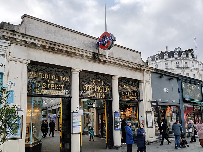
We start out from South Kensington Tube station which opened on Christmas Eve 1868. Designed by Sir John Fowler, it was originally known as Brompton Exchange and formed part of the Metropolitan Line. Following the construction of the deep-level Piccadilly Line link in 1905-06, Leslie Green designed a separate entrance on Pelham Street and George Sherrin was engaged to remodel the existing entrance and booking hall, and lay out a street-level arcade between Thurloe and Pelham Streets. This Edwardian arcade with its glazed barrel-vaulted roof above shops on each side and wrought iron screens at either end is the station’s USP.

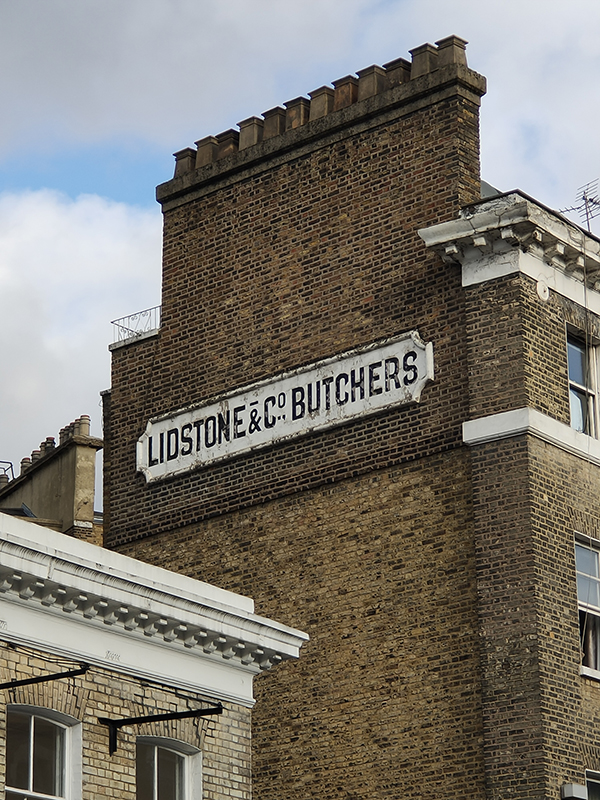
On exiting the station we head east on Thurloe Place, home to this “ghost sign” which dates from 1871 when butchers to the gentry “Lidstone Harris & Co” slimmed down to simply “Lidstone & Co” following Harris Crimp’s retirement from the business leaving Thomas Lidstone to go it alone.

At the nexus of Thurloe Place the tiny Yalta Memorial Garden is home to Twelve Responses to Tragedy, a memorial to the people displaced as a result of the Yalta Conference at the conclusion of WWII. Created by the British sculptor Angela Conner, the work consists of twelve bronze busts atop a stone base. The memorial was dedicated in 1986 to replace a previous memorial (also by Conner) from 1982 that had been repeatedly damaged by vandalism.

Having turn right onto the Brompton Road we make another right immediately into North Terrace at the end of which is the Grade II listed Alexander House, dating from the early 19th century.

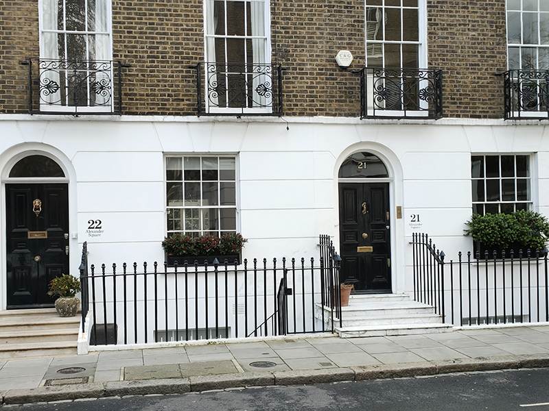
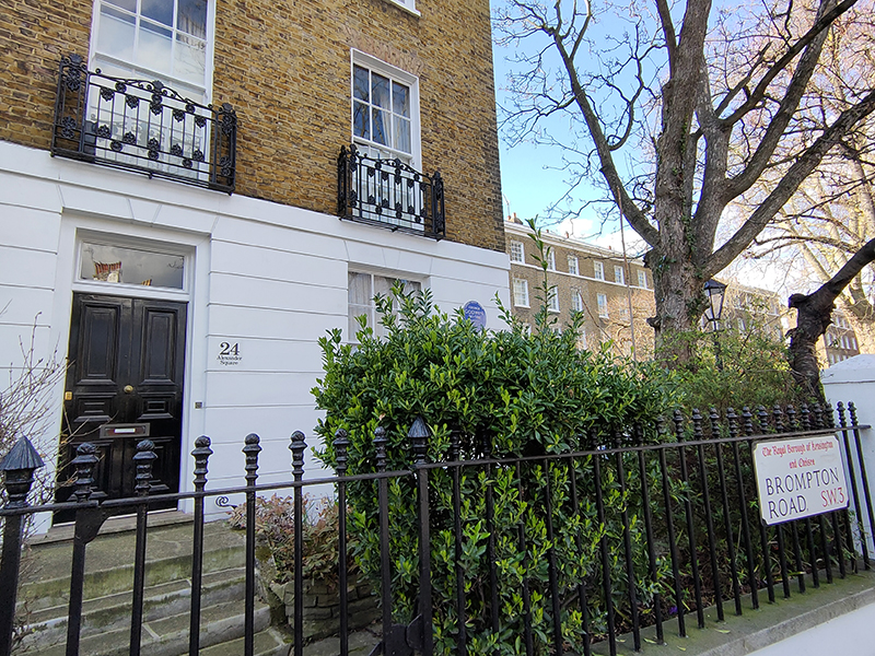
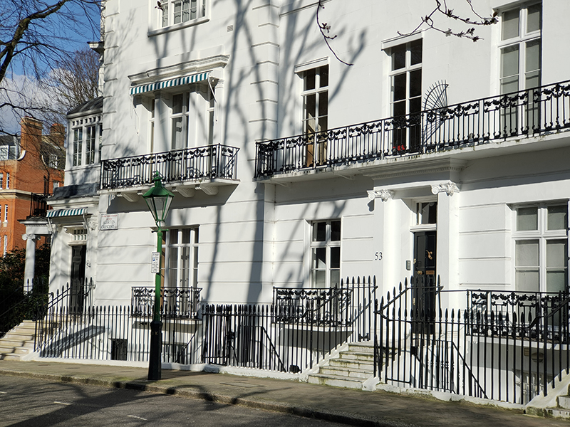
We make our way back to the Brompton Road via Alexander Square, Alexander Place, Thurloe Square and South Terrace. John Thurloe, an advisor to Oliver Cromwell, owned the land round here in the 17th century. John Alexander, godson of one of Thurloe’s descendants developed the area in the 1820’s. Although we’ve seen this type of Georgian housing many times before these residences are somewhat unusual in having the name of the street/square on which they sit painted alongside the property number.

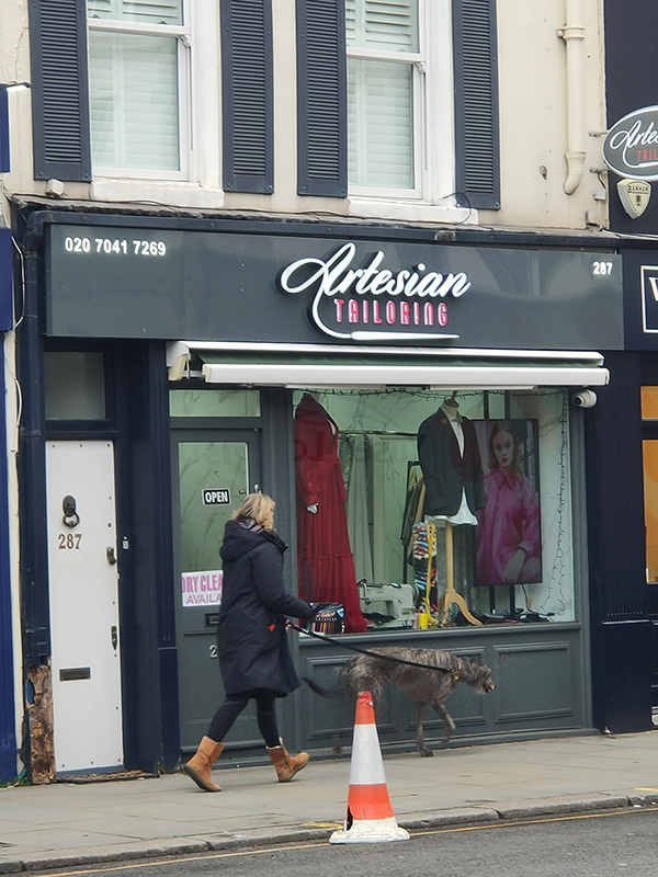
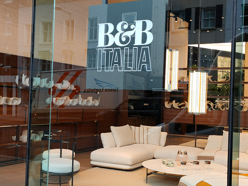
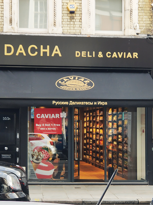
Brompton Road is home to quite a number of independent and exclusive boutiques. On this short stretch down to the top of Sloane Street we have, inter alia, a luxury Italian furniture showroom, a Russian caviar shop and an Artesian (sic) Tailors (presumably everything is Well-fitted).

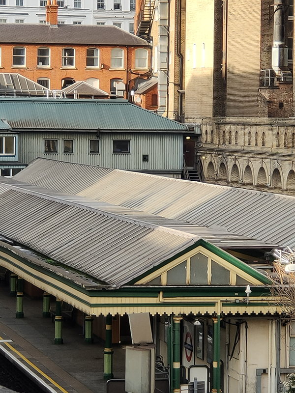
Next, Pelham Street takes us back to South Ken tube which we circumnavigate this time via Cromwell Place, Thurloe Street and Thurloe Square again. From where the latter crosses Pelham Street it is possible to sneak a view of the South Ken Circle & District Line platforms with their original arcaded revetments.

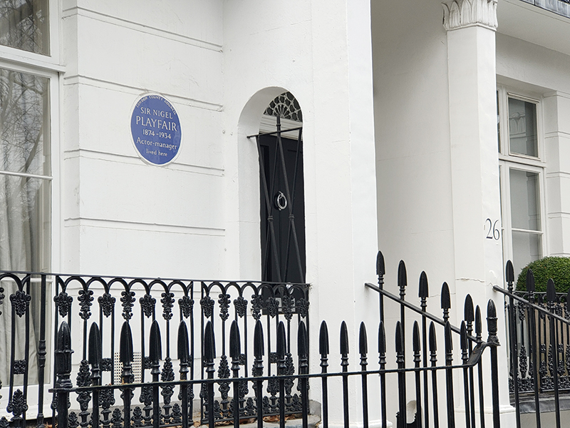
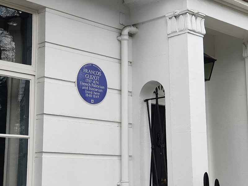
Pelham Place takes us into Pelham Crescent where we find the first of today’s blue plaques. No.26 was once home to Sir Nigel Playfair (1874 – 1934) – good surname, shame about the first part – best known as actor-manager of the Lyric Theatre, Hammersmith. . The French statesman and historian, Francois Guizot (1787 – 1874) lived at no.21 for a couple of years having taken refuge in England following the 1848 revolution in France. That year saw him resign as Prime Minister, after less than six months in the post, in conjunction with the abdication of King Louis Philippe and the founding of the Second Republic.

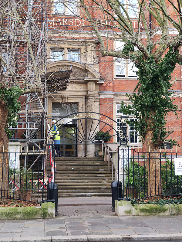
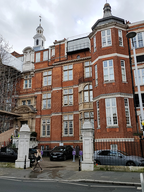
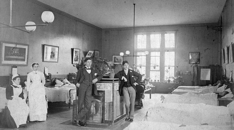
The crescent adjoins the Fulham Road, where, a short way further down, sits one of the two Royal Marsden Hospitals (the other is out in Sutton). The hospital was founded as the Free Cancer Hospital in 1851 by Dr William Marsden, following the death of his wife, Betsy, from the disease. It was originally based in Westminster and initially focused on palliative treatments and symptom relief. However, it quickly outgrew those first premises as it became apparent that some patients required inpatient care. In 1855, the noted philanthropist Baroness Burdett-Coutts, granted a loan of £3,000 which made it possible to purchase the Fulham Road site – about an acre of land. Architect, David Mocatta, drew up the plans for the building which opened in 1862. The hospital was granted its Royal Charter of Incorporation by King George V in 1910 and in 1954 the hospital was renamed The Royal Marsden Hospital in recognition of the vision and commitment of its founder. Back in 1986 I had a temporary job here as a porter for a couple of weeks. A salutary experience that left me with nothing but admiration for all proper NHS workers.

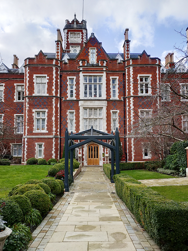
We turn north into Sumner Place, where on the immediate right is the entrance to Rose Square which surrounds The Bromptons, a luxury gated residential development created from the redevelopment of the historic Brompton Hospital. The site was developed as the Brompton Hospital for Consumption and Diseases of the Chest on what was previously market garden land in 1844. Following closure, the hospital was transformed in 1997 into exclusive apartments, whilst retaining its original Victorian architecture.  

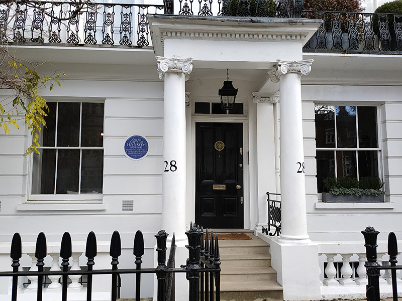
Opposite, at no.27 Sumner Place is a the one-time home of the architect Joseph Aloysius Hansom (1803 – 1882) who is best known as the inventor of the Hansom Cab, the two-wheeled horse-drawn carriage which enjoyed great popularity from the 1830’s up to the introduction of Taximeter Cars (petrol cabs) in 1908. As an architect he was incredibly prolific, designing over 200 buildings, mainly in the Gothic Revival style, including Birmingham Town Hall, Arundel Cathedral and St Walburge’s RC Church in Preston which has the tallest spire of any Paris Church in England.

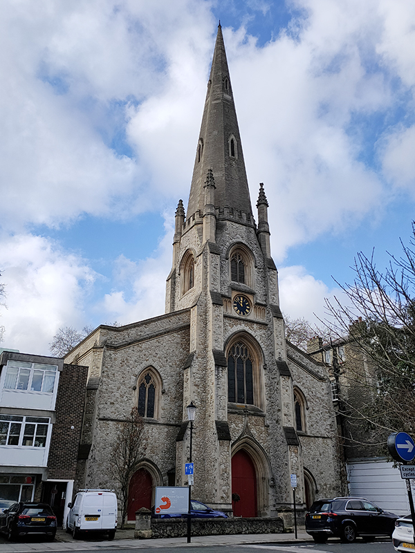
Just to the north of Rose Square is St Paul’s Church which dates back to 1860. This is now under the aegis of Holy Trinity Brompton (HTB), an evangelical Anglican church, which consists of six separate sites altogether.

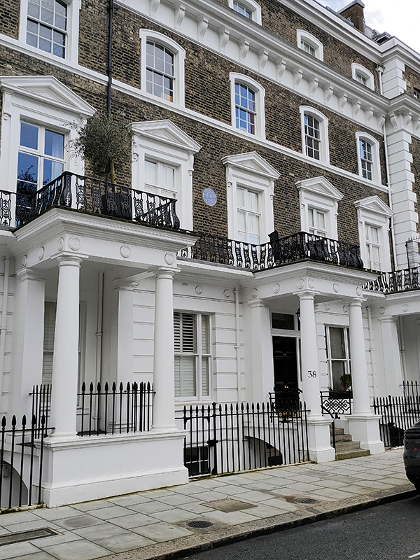
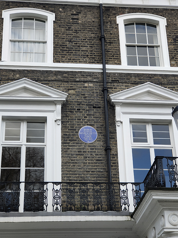
We continue along the south side of Onslow Square whose former residents include Admiral Robert Fitzroy (1805 – 1865) at no. 38, author William Makepeace Thackeray (1811 – 1863) at no.36 and Baron Carlo Marochetti (1805 – 1867) at no.32. From those dates in seems highly probable that their residencies here overlapped. Fitzroy was the captain of HMS Beagle during the famous survey expedition to Tierra del Fuego and the Southern Cone which took Charles Darwin (more of him later) to the places where he encountered the wildlife that inspired his theory of natural selection. Marochetti was was an Italian-born French sculptor who, after moving to England in 1848, was commissioned to create many public sculptures and memorials, including the equestrian statue of Richard the Lionheart which stands in front of the Palace of Westminster. Thackeray, best known as the writer of Vanity Fair, lived here during his latter years in which his health underwent a terminal decline due to excessive eating and drinking and an aversion to any form of exercise.

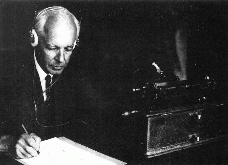
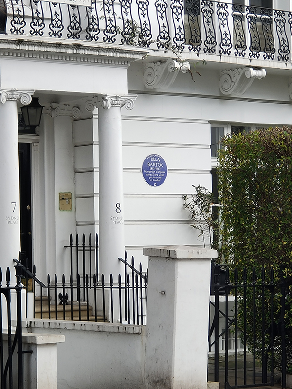
Next Blue Plaque up (they come thick and fast today) is the one that graces the outside of no.7 Sydney Place, commemorating the fact that the Hungarian composer, Bela Bartok (1881 – 1945) stayed there whenever he was performing in London. The English composer Peter Warlock was instrumental in bringing Bartok to London for the first time in 1922. From then until 1937 Bartok always stayed in London with Sir Duncan and Lady Wilson at this address. 230 yards further up towards the tube station is a statue of Bartok (that I somehow managed to overlook whilst on my perambulations).

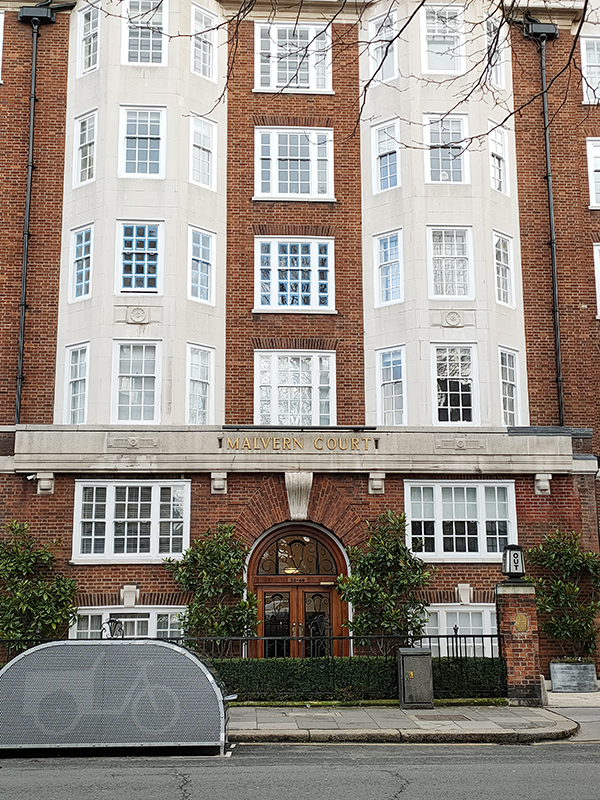
Prominent on the east side of Onslow Square (more so than the statue in any event) is the stylish early 1930’s built Malvern Court.

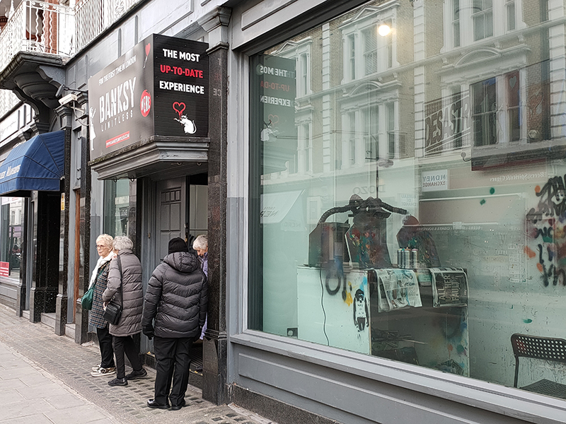
Completing a circuit of Onslow Square and Onslow Crescent we head west along Old Brompton Road. After a short way we pass the site of “Banksy: Limitless”, a temporary, non-official exhibition curated by private collectors, showcasing the breadth of Banksy’s street art in a gallery setting (with obligatory “immersive” element). It won’t be there for too much longer so no point in wasting £20 for the purposes of giving you a low-down.

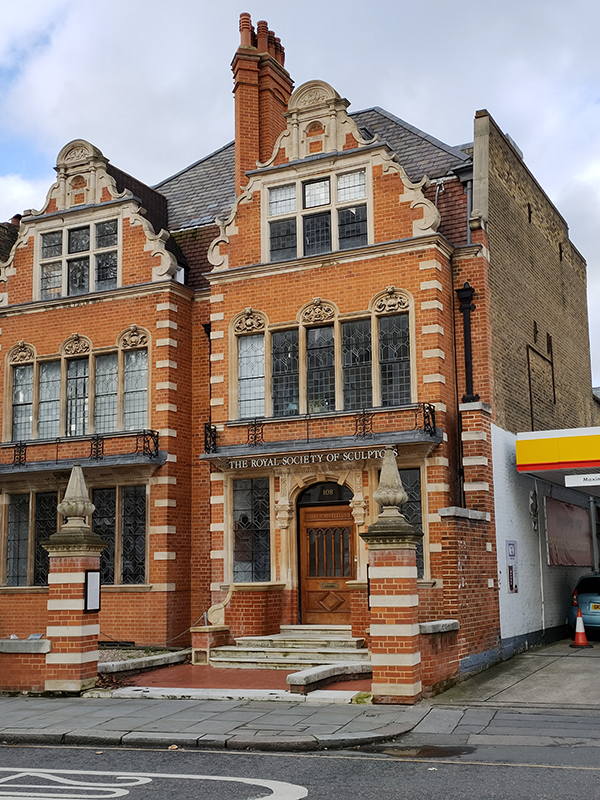
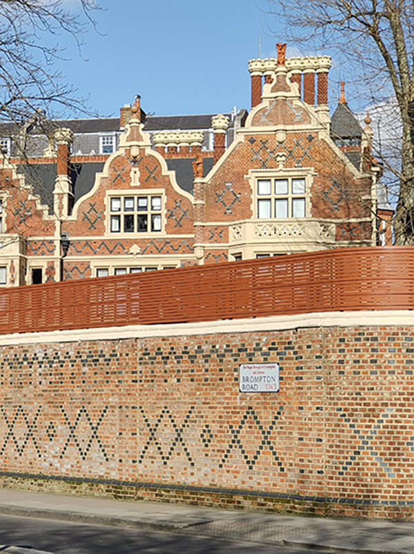
A couple of hundred metres further along is Dora House which is the home of the Royal Society of Sculptors (“RSS”). Dora House was originally built by William Blake (not that William Blake) in 1820 as a pair of early Georgian semi-detached villas. It’s constructed of red brick with a pair of steep curved gables, classical details in stone in the Flemish manner and tall leaded light windows on three floors. The ornate frontage dates from a remodelling in 1885-6 to provide a grand studio for Court photographers Elliot and Fry. In 1919 the house was taken on by the sculptor Cecil Thomas (1885-1976) who worked here and adopted it as his family home with wife Dora and son Anthony. After his wife died in 1967, Thomas set up the Dora Charitable Trust to protect the long-term future of the house. A few years later he bequeathed the house to the RSS. The RSS had been established in 1905 with 51 members, including all the leading sculptors of the day. Six years later it was granted Royal patronage. ( I’m afraid I have no information on when the Shell garage next door made its unfortunate arrival on the scene).

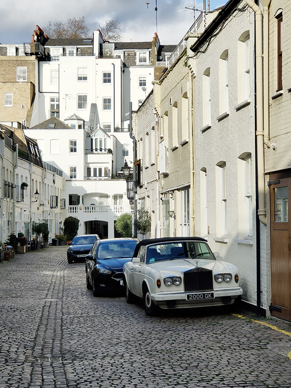
For the next stage of today’s journey we’re working our way back east towards South Ken tube. We begin by heading north on Gloucester Road, taking a right turn into Clareville Street and then diverting back to Old Brompton Road via Clareville Grove. We make our way north again on Clareville Street before switching into Manson Mews.

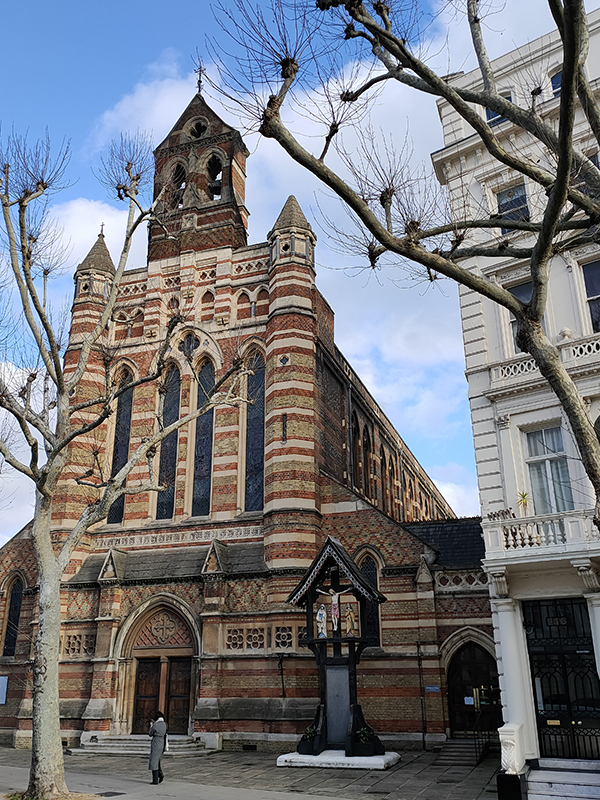
The non-cul-de-sac part of Manson Mews leads into Queen’s Gate. Almost directly opposite is the Grade II Listed, St Augustine’s Church. The church was built in 1865, and the architect was William Butterfield (1814 – 1900), another exponent of the Gothic Revival style. Butterfield was certainly possessed of a strong protestant work ethic; between 1842 and 1895 he contributed to the construction or renovation of around 120 religious buildings. St Augustine’s is now another member of the HTB group of churches.
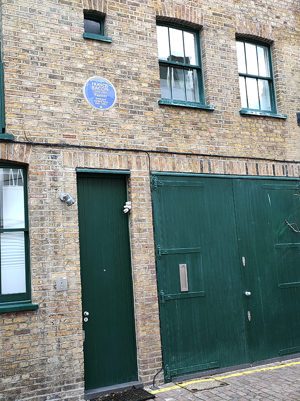
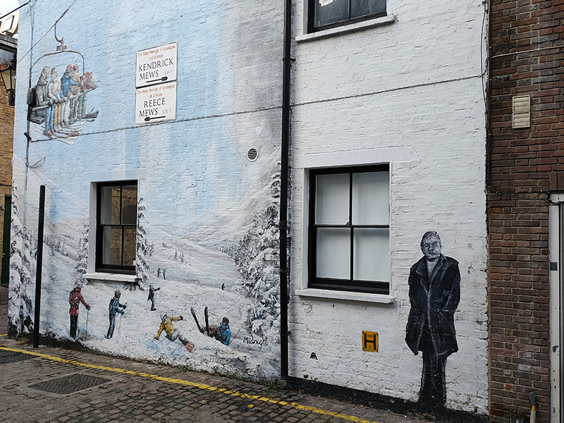
After a quick look at Manson Place we return to Old Brompton Road where we continue east then make our way in to Reece Mews via Kendrick Place. Artist, Francis Bacon (1909 – 1992) lived and worked at 7 Reece Mews for the last 30 years of his life. In 1962, a year after Bacon moved here, his lover, Peter Lacy, died from the effects of alcoholism the day before the opening of a retrospective exhibition of the artist at the Tate. As the Sixties progressed, Bacon’s work moved from the extreme subject matter of his early paintings to portraits of friends, including his new lover, George Dyer, who he had met in a pub in 1963. The much younger Dyer was also an alcoholic and in 1971, in a cruel twist of fate, he took a fatal overdose of barbiturates while in Paris with Bacon for another retrospective exhibition, this time at the Grand Palais. Bacon himself died of a heart attack in 1992. Six years later his sole legatee, John Edwards, and High Court appointed executor, Brian Clarke, donated the contents of Bacon’s studio at Reece Mews to the Hugh Lane Gallery in Dublin (Bacon’s birthplace) where they were moved and reconstructed.
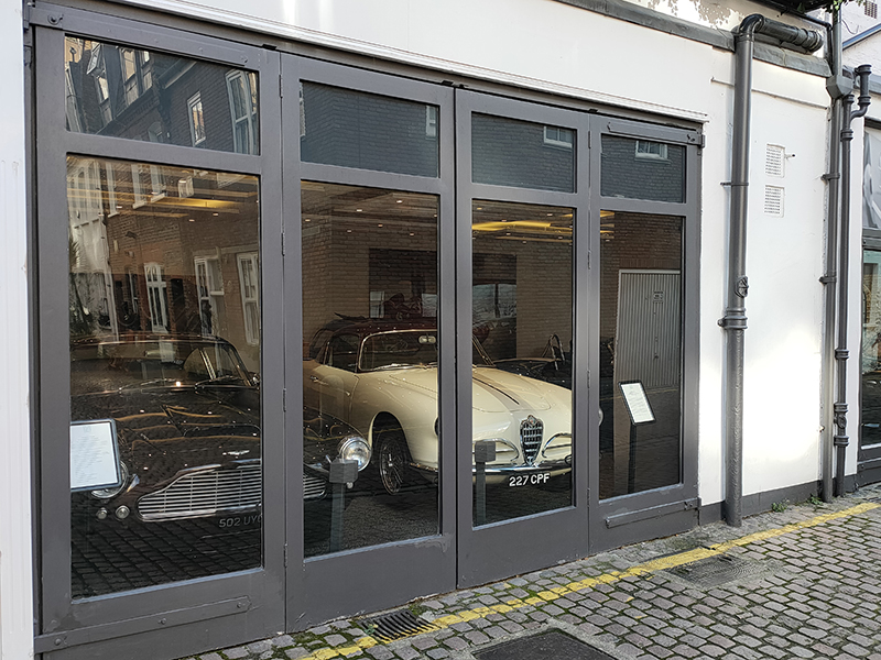
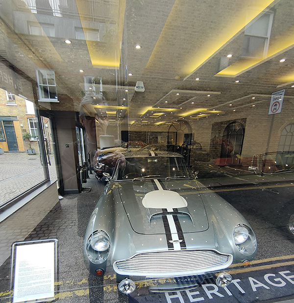
Directly opposite the above mural on Kendrick Mews is the showroom of Heritage Classic Cars which has been selling special collector cars for the last sixty years. Among the cars currently for sale is an Aston Martin DB4 GT Continuation, one of only 25 of these models built by AM in 2017, and a 1957 Alfa Romeo Super Sprint.

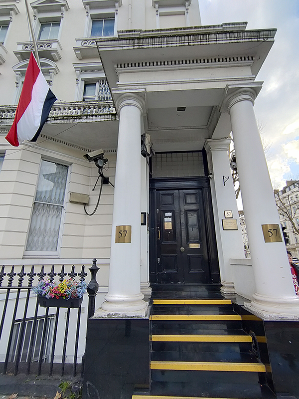
At the north end of Reece Mews we emerge onto Harrington Road then do a circuit of Bute Street and Glendower Place before switching west on Harrington Road which soon morphs into Stanhope Gardens. We carry on as far as Gloucester Road before turning north up to Cromwell Road. For the next twenty minutes or so we traverse between Cromwell Road and Stanhope Gardens by means of Stanhope Mews West, Stanhope Gardens (west and east sections), Stanhope Mews East and Queen’s Gate again. These Stanhopes are named after the eponymous family who assumed the Earldom of Harrington in 1742. On the corner of Queen’s Gate and Cromwell Road stands the Embassy of Yemen.

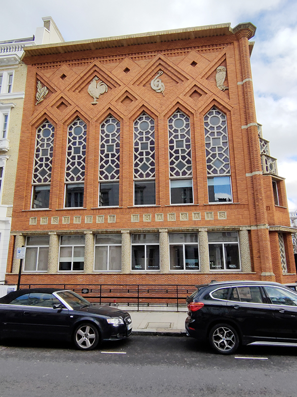
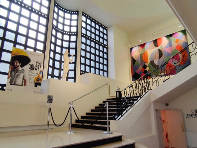
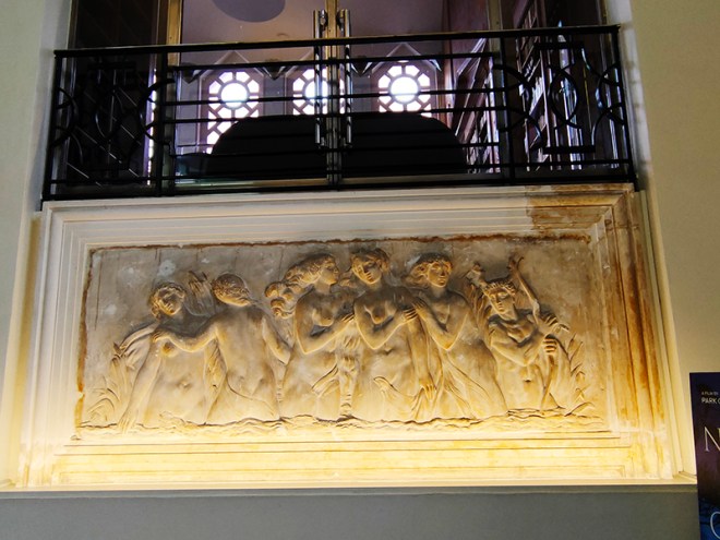
Next street along, continuing eastward, is Queensberry Place when we find the Institut Francais du Royaume Uni, the London branch of the worldwide network that promotes French Language and Culture. The Language Centre is on Cromwell Place and the building here on Queensberry Place houses the Cultural Centre which includes the Cine Lumiere. The Cine Lumiere has two screens and is a great place to watch the best of French and World cinema, both new releases and classic films. 15-17 Queensberry Place was is a Grade II listed, red-brick Art Deco building dating from 1939. It was designed by French architect Patrice Bonnet and features distinctive ceramic decorations which depict the four graces of Minerva (owl, asp, cockerel, and olive branch). The interior features a sweeping staircase decorated with a Auguste Rodin statue (L’Âge d’Airain) and a Sonia Delaunay tapestry.

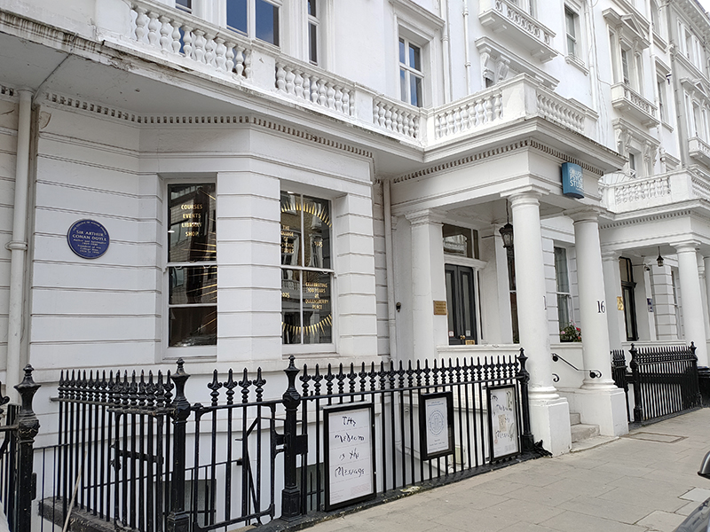
Across the street from the IF is The College of Psychic Studies. The College began life as London Spiritualist Alliance in 1883 at the instigation of the Rev. William Stainton Moses – an Anglican priest and medium – upon the dissolution of the Central Association of Spiritualists. The Alliance resided at several addresses in London before acquiring the freehold of 16 Queensberry Place for £5,000 in 1925. Sir Arthur Conan Doyle was President of the Alliance from 1926 to 1930, as commemorated by yet another blue plaque. The London Spiritualist Alliance changed its name in 1955 to The College of Psychic Science and in 1970 became The College of Psychic Studies. Nowadays the College organizes courses, workshops and talks in mediumship training, trance, psychic development, working with your guides and angels, automatic writing, past and future lives, shamanic healing, chakras, energy work, palmistry, numerology, tarot, mysticism, scrying and crystals. Anything not grounded in reality basically. I’m thinking they must get a lot of Americans enrolling.

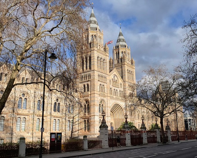
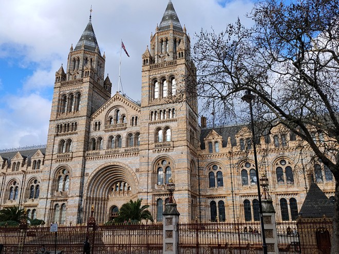
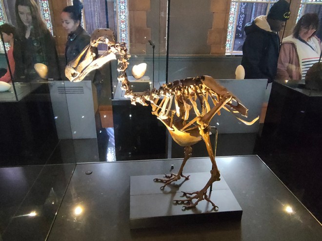
And so to the Natural History Museum. Last time I was visited it was to see a specific exhibition so I didn’t venture beyond the ground floor of the east wing. The time before that was a good few years ago and I don’t remember it being a great experience. I was therefore very pleasantly surprised at how much I enjoyed today’s visit. I expected to be in and out in half an hour but in the end I stayed for nearly three hours (though that did include the Space: Could Life Exist Beyond Earth exhibition which I can highly recommend but is only on for a few more weeks at time of writing).

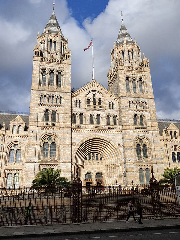
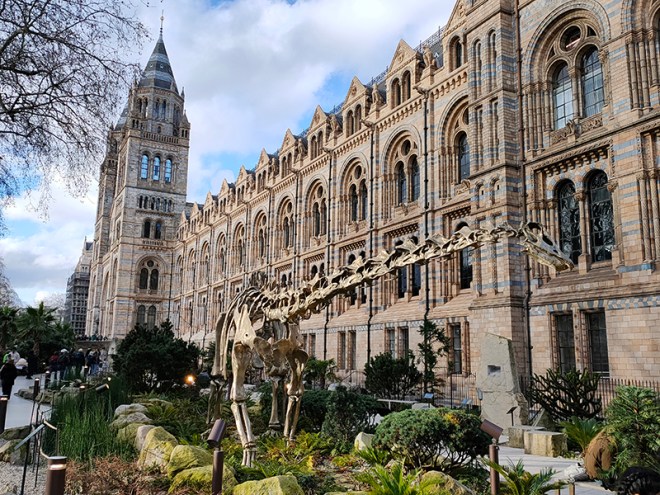
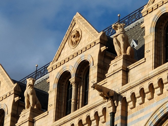
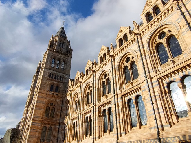
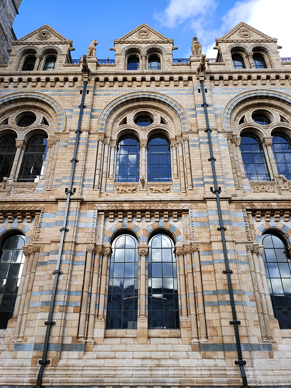
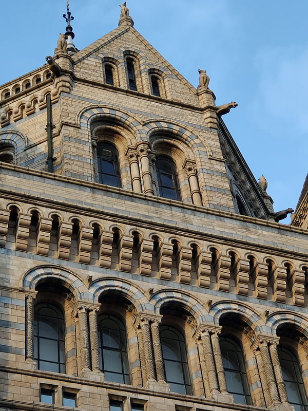
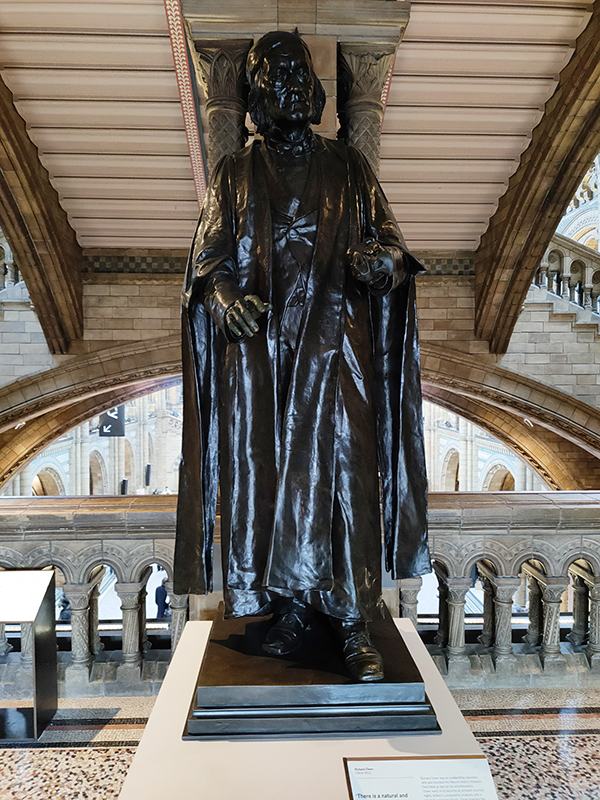
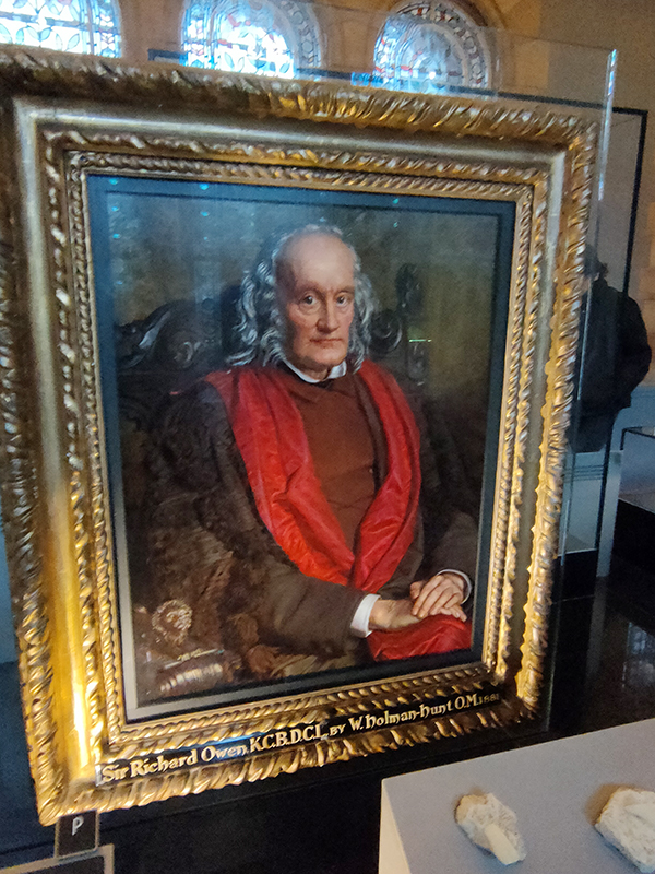
The Museum first opened its doors on 18 April 1881, but its origins stretch back to 1753 and the legacy of Sir Hans Sloane who had travelled the world as a high society physician, collecting natural history specimens and cultural artefacts along the way. After his death, Sloane’s will allowed Parliament to buy his extensive collection of more than 71,000 items for £20,000 – significantly less than its estimated value. The government agreed to the purchase Sloane’s collection and then built the British Museum so the items could be displayed to the public. Just over a hundred years on, Sir Richard Owen (the natural scientist who came up with the name for dinosaurs) took charge of the British Museum’s natural history collection and convinced the board of trustees that a separate building was needed to house these national treasures. In 1864 Francis Fowke, the architect who designed the Royal Albert Hall and parts of the Victoria and Albert Museum, won a competition to design the new Natural History Museum. When he unexpectedly died a year later, the relatively unknown Alfred Waterhouse took over and came up with a new plan for the South Kensington site. Waterhouse used terracotta for the entire building as this material was more resistant to Victorian London’s harsh climate. The result is one of Britain’s most striking examples of Romanesque architecture, considered a work of art in its own right and one of London’s most iconic landmarks.

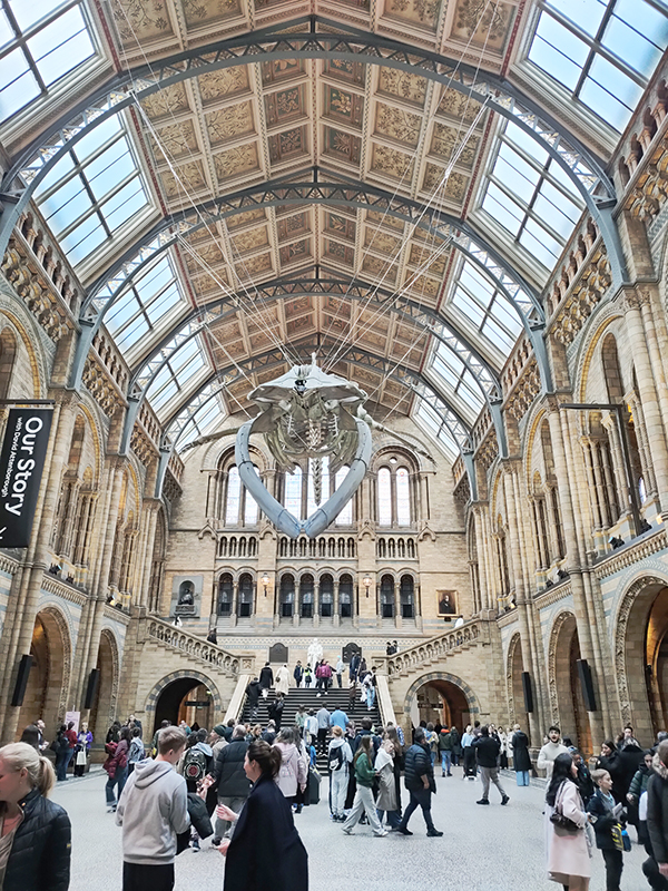
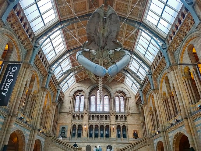
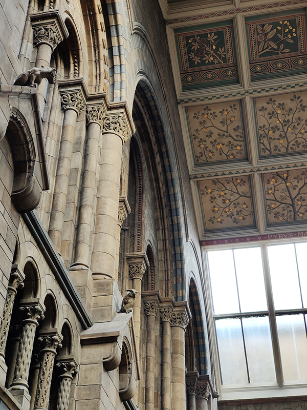
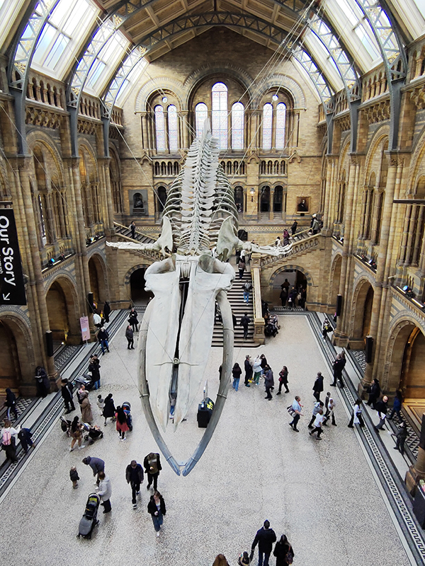
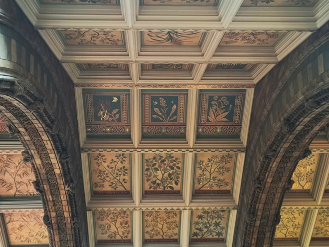
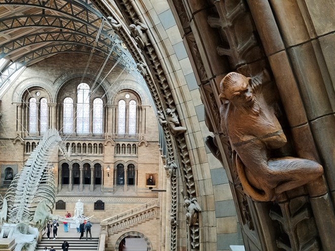
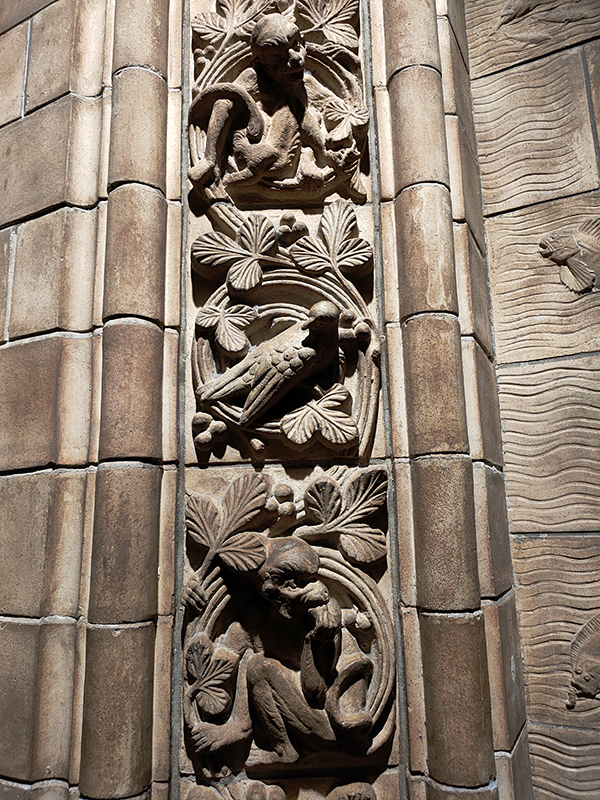
Hintze Hall, the Museum’s central space, was redeveloped in 2017 and the famous Diplodocus skeleton cast was replaced with a 25.2-metre blue whale skeleton, intended to be a reminder to visitors that humanity has a responsibility to protect the biodiversity of our planet. The Hintze Hall ceiling is covered with 162 intricate panels displaying illustrations of a vast array of plants from all over the world. Similar tiles adorn the other galleries in the museum and the entire building is decorated with carvings and sculptures depicting the natural world.

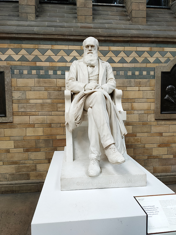
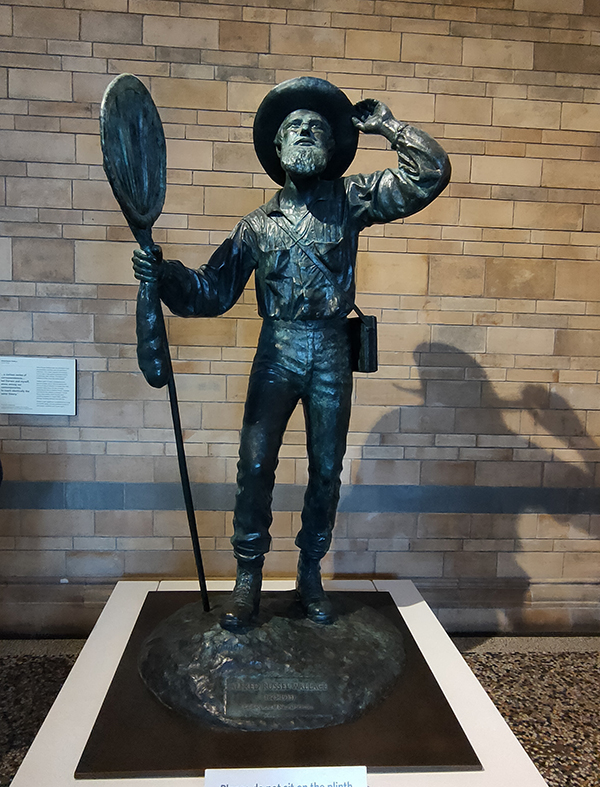
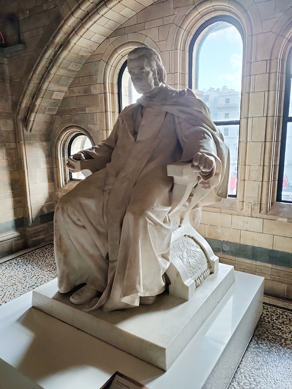
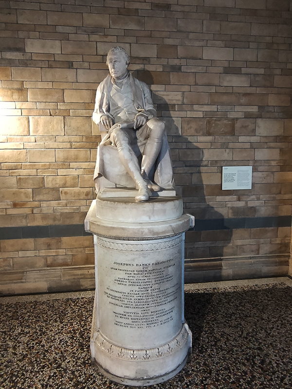
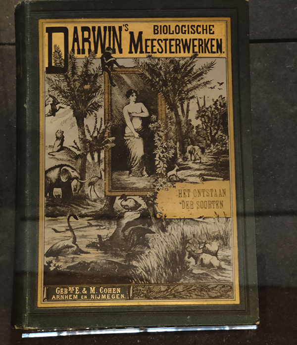
There are statues honouring prominent individuals who played an important role in the creation and evolution of the museum throughout the building. Richard Owen we’ve already spoken of and Charles Darwin needs no introduction but it’s worth giving a mention to Joseph Banks (1743 – 1820), Alfred Russell Wallace (1823 – 1913) and Thomas Henry Huxley (1825 – 1895). The great botanist, Banks, took part in Captain James Cook’s first great voyage (1768–1771), visiting Brazil, Tahiti, and after 6 months in New Zealand, Australia, returning to immediate fame. He went on to hold the position of president of the Royal Society for over 41 years and advised King George III on the Royal Botanic Gardens at Kew. Wallace was renowned as a naturalist, explorer, biologist and social activist. He was considered the 19th century’s leading expert on the geographical distribution of animal species. In 1858 he wrote a paper on the theory of evolution through natural selection; the publication of which was pretty much contemporaneous with that of extracts from Charles Darwin’s writings on the topic. It spurred Darwin to set aside the “big species book” he was drafting and to quickly write an abstract of it, which was published in 1859 as On the Origin of Species. Huxley was a biologist and anthropologist who became known as “Darwin’s Bulldog” on account of his vehement advocacy of Darwin’s theories. In 1860 he took part in the Oxford Evolution Debate in which he staunchly defended the Origin against its opponents, principal amongst whom was Bishop Samuel Wilberforce. Ironically, Wilberforce had received coaching prior to the debate from Richard Owen. The debate is best remembered today for a heated exchange in which Wilberforce supposedly asked Huxley whether it was through his grandfather or his grandmother that he claimed his descent from a monkey. Huxley is said to have replied that he would not be ashamed to have a monkey for his ancestor, but he would be ashamed to be connected with a man who used his great gifts to obscure the truth. However, as no verbatim record of the debate exists the exacts words used by each party are subject to the distortions of second-hand reportage.

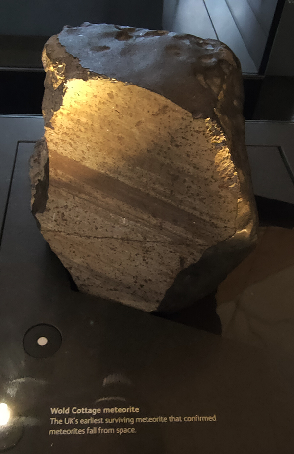
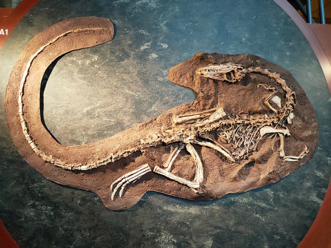
I hadn’t intended to say anything about the actual exhibits in the museum but I was very impressed by the objects in the Cadogan Gallery, which showcases 22 of the museum’s most treasured items. I’m not sure how long this display has been in situ but I don’t remember it from previous visits.

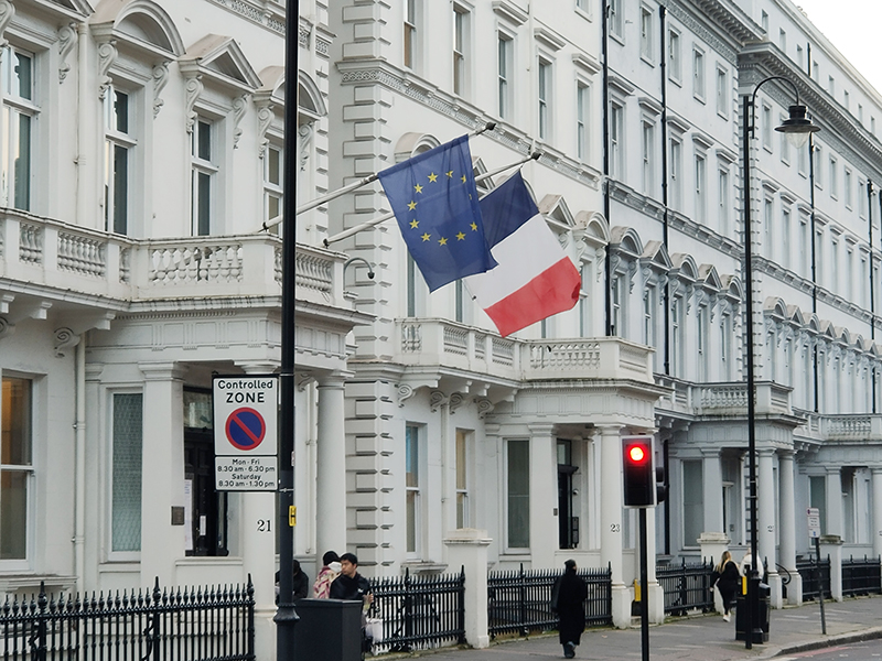
When we’re finally done with the NHM it’s a short walk down Cromwell Place past the French Consulate back to South Ken tube station with a final couple of plaques on the way.

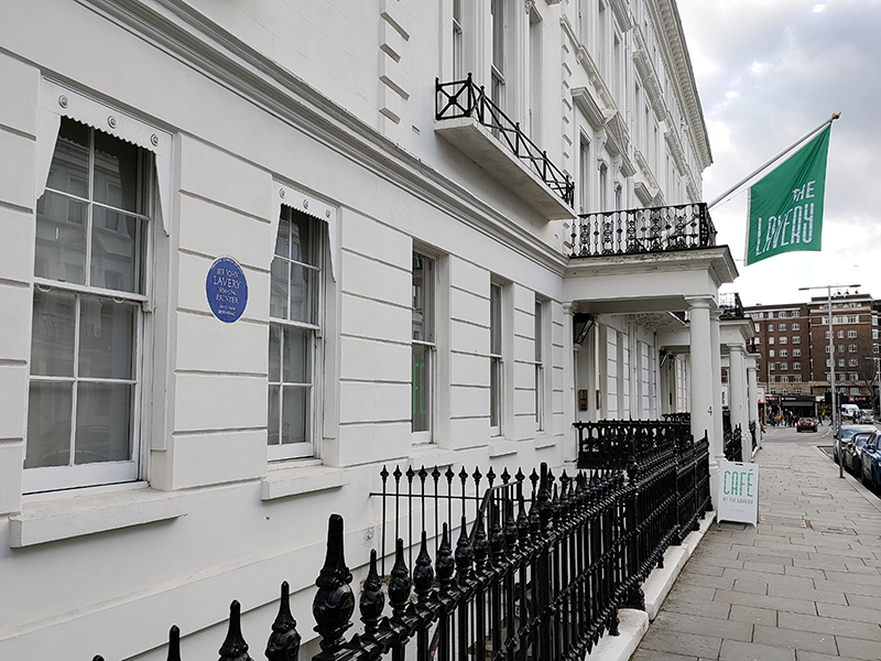
No.5 Cromwell Place was home to the Irish painter Sir John Lavery (1856 – 1941) from the turn of the 20th century until the start of WWII. Lavery was best known for portraits and wartime scenes. He and his wife, Hazel, were tangentially involved in the Irish War of Independence and the Irish Civil War and they gave the use of this house to the Irish participants in the negotiations leading to the Anglo-Irish Treaty. Today the house forms part of the ‘Cromwell Place’ arts hub created out of the full terrace of five Grade II listed Georgian properties.

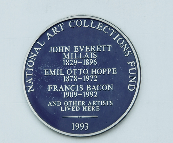
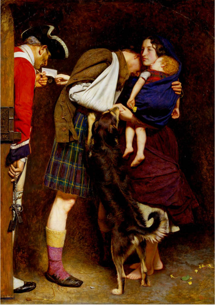
7 Cromwell Place was the London home and studio of the Pre-Raphaelite painter Sir John Everett Millais (1829 – 1896). Millais is as famous for his personal life as his art. In 1855 he married Effie Gray who had previously been the wife of the art critic, John Ruskin, and had modelled for Millais (most notably the female figure in The Order of Release) . The marriage between Effie and Ruskin, a supporter of Millais’ early work, was annulled after a few years due to lack of consummation. Effie and Millais went on to have eight children. The Victorian terrace in which they lived was later occupied by photographer Emil Otto Hoppe and (the aforementioned) Francis Bacon, who moved in in 1943 and worked in the former billiard room before moving his studio to Reece Mews.

Day 82 – Midland Road – York Way – Copenhagen Street – Caledonian Road

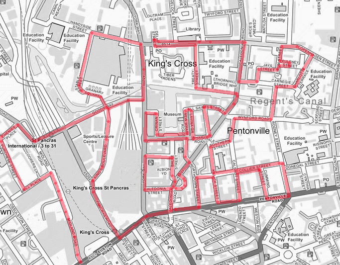
Following an extended summer break, today’s walk sees us return to the area around King’s Cross for the first time in ten years, during which, I think it’s fair to say, quite a bit has changed. We visit the area to the north of KX station which has undergone a massive make-over in the last couple of decades then venture eastward into Pentonville, bordered to the south by the eponymous Road and to the north by Copenhagen Street. All of which is intersected by the Regent’s Canal.

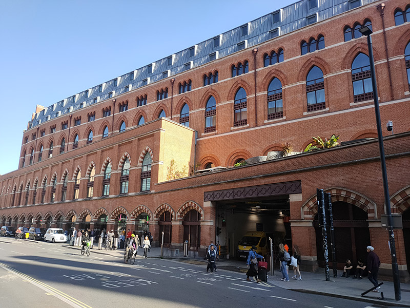
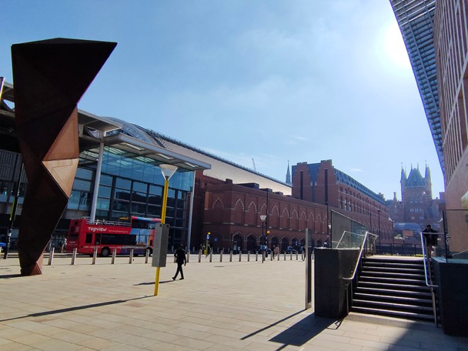
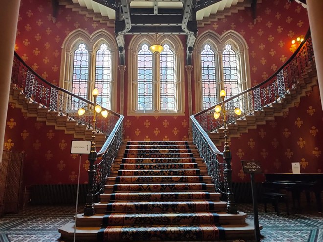
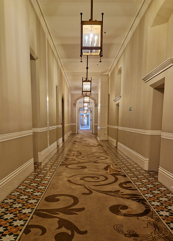
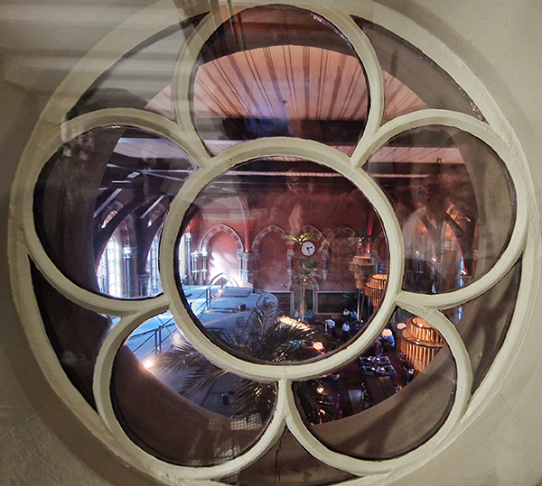
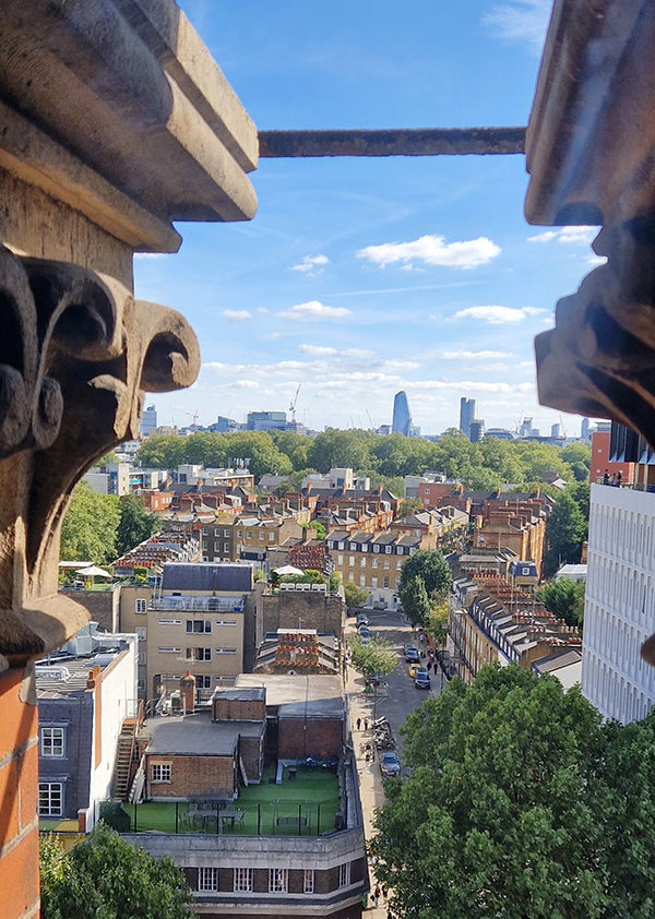
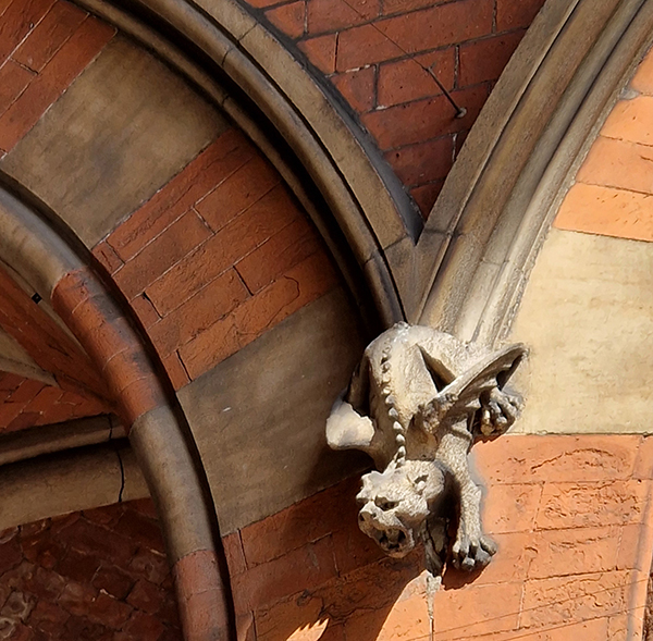
We kick off at the southern end of Midland Road which runs northward between the British Library and St Pancras International (both of which we dealt with back on Day 9). We also covered the always astonishing Renaissance Hotel (née Midland Grand Hotel) back then but as a bit of a bonus we’ll take another look at that at the end of this post.

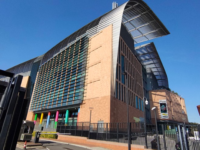
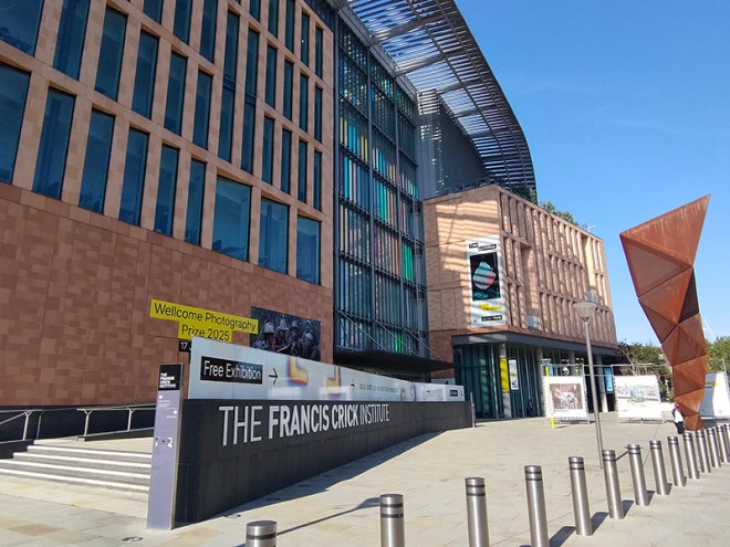
Adjacent to the British Library, to the north, is the Francis Crick Institute, named after the British scientist who along with James Watson identified the structure of DNA in 1953, drawing on the work of Maurice Wilkins, Rosalind Franklin and others. The Crick, as it is generally known, is home to a partnership between six of the world’s leading biomedical research organisations: the Medical Research Council, Cancer Research UK, Wellcome, UCL (University College London), Imperial College London and King’s College London. The genesis of this partnership was the 2007 Cooksey report which looked at ways to consolidate and enhance medical research in the UK. The institute was officially opened by Queen Elizabeth in November 2016 and was fully operational by the spring of 2017. It now houses over 2000 people and more than 100 research groups.

Beyond the Crick we turn left into Brill Place then follow Purchese Street and Chenies Place back round to Pancras Road which takes over from Midland Road.

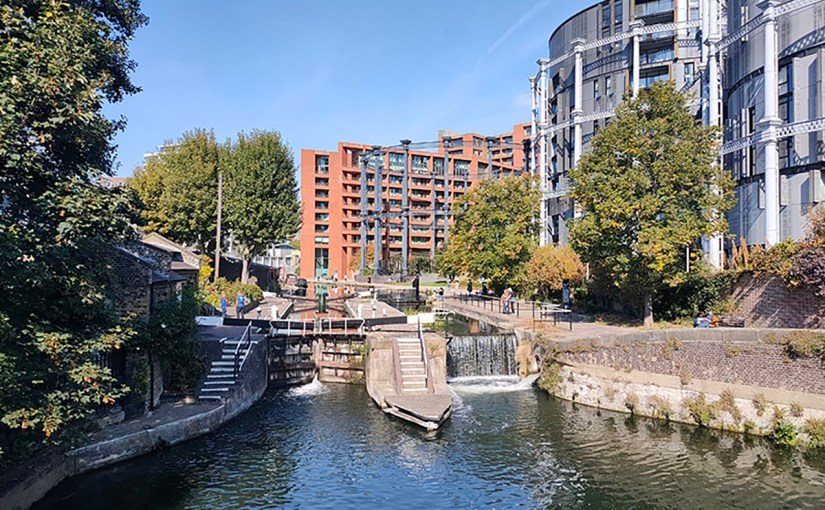
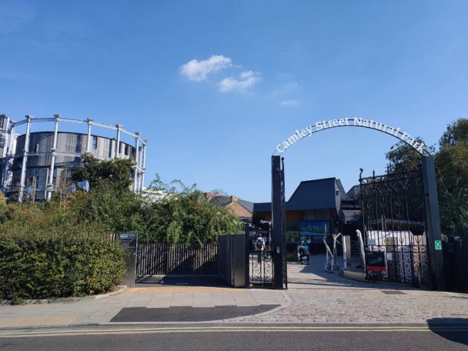
Pancras Road partially veers east in the form of a tunnel under the rail lines out of St Pancras then morphs into Goods Way. To the north of Goods Way, sandwiched in between Camley Street and the Regent’s Canal is the Camley Street Natural Park, a little patch of wilderness in the city. The site was once a coal drop for the railways into King’s Cross Station, which was demolished in the 1960s. As it was subsequently colonised by nature the London Wildlife Trust ran a campaign in the 1980’s to save the site from development and create a nature reserve which opened in 1985. Nice café if you’re in the vicinity. They’ll even do you an Aperol Spritz (which I think demonstrates that we’ve now reached peak Aperol Spritz).

After polishing off an Earl Grey tea and ham and cheese croissant at the café we cross the canal via the Somerstown Bridge and enter the heart of the King’s Cross regeneration.

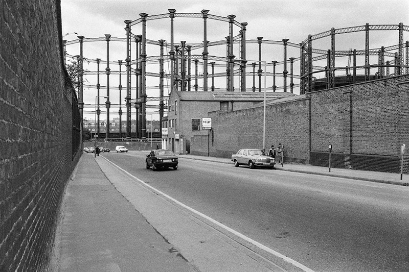
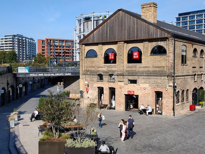
A potted history : In the early 19th century, prior to the arrival of the railways, this area had already developed into an industrial hub with the opening of the canal in 1820 and the Pancras Gasworks in 1824. A number of other “polluting” businesses such as paint manufacture and refuse sorting were also established in the area giving it a somewhat tarnished reputation. In an attempt to offset this, a huge memorial to, the recently deceased, King George IV was erected at a major crossroads in 1836. The memorial attracted ridicule and was demolished in 1845 to ease the flow of traffic, but the new name for the area – ‘King’s Cross’ – stuck. King’s Cross station opened in 1852 and St Pancras station followed around 15 years later. In the latter years of the 19th century both the railways and the gasworks were expanded leading to the demolition of much of the surrounding housing. After WWII and nationalisation of the railways in 1948, the transport of freight by rail suffered a rapid decline and in the southern part of the Goods Yard, most of the rail lines were lifted in the 1980s. Although six gasholders remained in service until 2000, the area went from being a busy industrial and distribution district to a place that was synonymous with urban sleaze and decay, consisting mainly of derelict and disused buildings, railway sidings, warehouses and contaminated land. At the same time it became something of a hub for artists and creative organisations and was closely associated with the illegal rave scene in the 1990’s.

The 1996 decision to move the Channel Tunnel Rail Link from Waterloo to St Pancras became the catalyst for redevelopment by landowners, London & Continental Railways Limited and Excel (now DHL). It took another ten years though before outline planning permission was granted for 50 new buildings, 20 new streets, 10 new major public spaces, the restoration and refurbishment of 20 historic buildings and structures, and up to 2,000 homes. Early infrastructure works began in 2007, with development starting in earnest in late 2008. Much of the early investment was focused in and around the Victorian buildings that once formed the Goods Yard. In September 2011, the University of the Arts London moved to the Granary Complex, and parts of the development opened to the public for the first time. Since then the historic Coal Drops have been redeveloped as a shopping destination, and companies such as Google, Meta, Universal Music and Havas have chosen to locate here. New public streets, squares and gardens have opened, among them Granary Square with its spectacular fountains and Gasholder Park. In January 2015, the UK government and DHL announced the sale of their investment in the King’s Cross redevelopment to Australian Super, Australia’s biggest superannuation/pension fund. I must confess here that there is a part of me which wishes I had thought to undertake this project before all of the above happened.

Three of the Gasholders built for the Pancras Gasworks in 1860-67, known as the ‘Siamese Triplet’, because their frames are joined by a common spine, escaped demolition and were awarded Grade II listed status. As part of the renewal programme these were painstakingly restored over a five year period by a specialist engineering firm in Yorkshire and upon their return to King’s Cross, erected on the northern bank of Regent’s Canal and developed into 145 apartments, designed by Wilkinson Eyre Architects, and completed in 2018. (The photos below are from a previous visit in December 2020).

Stable Street runs through the middle of the development area as far as Handyside Street. At their intersection stands the Aga Khan Centre, the UK home for three organisations founded by His Late Highness Aga Khan IV, the hereditary spiritual leader of the Shi‘a Ismaili Muslims. The building was designed by the Japanese architect, Fumihiko Maki, who unfortunately passed away in 2024. The building is influenced by Islamic architectural history and is clad in detailed pale limestone, referencing the grand Portland stone buildings across London.

The striking Q1 office building at 22 Handyside was built over three listed railway tunnels so the design involved a lightweight structure with a diagonal orientation clad in perforated panels of anodized aluminium.

We head back south on York Way. Prominent on the east side is King’s Place music and arts venue which has been hosting an excellent programme of classical, contemporary and jazz concerts since 2008 and is also home to the London Podcast Festival. Dixon Jones were the architects for the building, which contains the first new public concert hall to be built in Central London since the completion of the Barbican Concert Hall in 1982.

Returning to Goods Way we follow the canal along to Granary Square then turn down onto Kings Boulevard, almost the whole length of which, as far as the north end of King’s Cross Station, is flanked by Google’s new UK HQ. Construction on this, the first wholly owned and designed Google building outside the US, began way back in 2018. Designed by Heatherwick Studio and Bjarke Ingels Group (BIG), the purpose-built 11-storey building, which is 72 metres tall at its highest point and 330 metres long has been dubbed a “landscraper”. The 861,100sq ft of office space will, upon completion, make it the 8th largest building in Europe by office space and provide the potential to house 7,000 Google employees. Those employees are expected to start moving in later in 2025.

We round Kings Cross Station via Pancras Road and the fag end of Euston Road and find ourselves at the start of Pentonville Road opposite the Scala. I wrote about this back in Day 12 but at that time (towards the end of 2015) the building was swathed in scaffolding so there were no photographs included. I can now belatedly rectify that and also mention (which I didn’t before) that my one visit to the Scala was to attend the 1986 British Jazz Awards all-nighter (an event about which the internet is entirely ignorant it seems – this framed poster still hangs on my bedroom wall).

Across the road from the Scala we enter the Caledonian Road at its southern end then complete a circuit of Caledonia Street, York Way, Railway Street and Balfe Street. Nos. 17 and 17a on the latter are Grade II listed. These mid-19th century terraces must have had some remarkable changes of fortune during their lifetime and I doubt they have ever been more desirable than they are now.

Back on Caledonian Road, the first of the Simmons chain of bars (opened in 2012) has cutely retained the façade of the old style tearoom that preceded it.

From here we swing left round Keystone Crescent (formerly Caledonian Crescent). Built by the son of a Shoreditch bricklayer, Robert James Stuckey, in 1846 this has the smallest radius of any crescent in Europe and is unique in having a matching inner and outer circle. The change of name was effected in 1917 by Robert’s grandson, Algernon, for reasons undocumented. The 24 houses in the Crescent are all Grade II listed; one of them has parish marker plaques that include the names of the local church wardens in 1845 and 1855 and another (no.28) operates as a Private Members’ Speakeasy.

At the other end of the Crescent we’re back on Caledonian Road, naturally enough, and on the opposite side of the road to the Institute Of Physics which I wasn’t able to get a proper shot of due to the ridiculous volume of traffic. Just as well it’s not much to look at then. The IOP as it exists today was formed through the merger of the The Physical Society of London and the Institute of Physics in 1960. The former had been established in 1874, after Professor Frederick Guthrie, of the Royal College of Science, wrote to physicists to suggest a “society for physical research”. The latter was incorporated by the Board of Trade in 1920 with The Royal Microscopical Society and the Roentgen Society as its associate societies. To be honest, it’s not at all clear why two bodies were needed or what the difference between them was. But that’s Physicists for you.

We make our way back to York Way via Northdown Street and Wharfdale Road then just before we reach King’s Place again we turn east onto Crinan Street which loops back to Wharfdale Road. Crinan Street is home the former Robert Porter & Co. Beer Bottling Plant. For some reason I always think of lager as being quite a recent arrival to these shores but (the aptly named) Mr Porter was bottling a Beck’s lager at least as far back as 1927.

Next up is New Wharf Road where you will find the London Canal Museum. Naturally enough, the museum deals with the story of London’s canals but as it is housed in a former ice warehouse built in about 1862-3 for Carlo Gatti (1817 – 1878), the famous ice cream maker, it also, perhaps more interestingly, features the history of the ice and ice cream trade in this country. Gatti came to London from the Italian speaking part of Switzerland in 1847 and began his business life selling refreshments from a stall, a kind of waffle sprinkled with sugar, and chestnuts in winter. Within a couple of years he had opened his own café and restaurant which included a chocolate-making machine that he later exhibited at the Great Exhibition of 1851. Gatti was one of the first people to offer ice cream for sale to the public and, initially, he made this using cut ice from the Regent’s Canal. Subsequently though, as he concentrated on the ice trade business, he began importing ice that originated in the Norwegian Fjords. The ice well he had built at 12-13 New Wharf Road to cater for his first import of Norwegian ice, a consignment of 400 tons, is still on view at the museum. The museum is small but well worth the relatively modest admission charge. The staff are particularly knowledgeable and communicative.

Beyond the museum, New Wharf Street forms a junction with All Saints Street from where we go down Lavina Grove and up Killick Street before re-joining the Caledonian Road. Crossing over the Regent’s Canal again we follow the north bank towpath as far as Treaty Street then continue north onto Copenhagen Street. Here we go west as far as (the miniscule) Delhi Street, York Way Court and Tiber Gardens before doubling back eastward past the Lewis Carroll Children’s Library. The Library opened originally in 1952 and was renovated in 2008 at which time it acquired murals inspired by Carroll’s Alice In Wonderland. Unlike traditional public libraries, the library maintains a unique access policy requiring adults to be accompanied by a child to enter, ensuring the space remains dedicated to its young users. Big up to Islington Council for keeping it going.

On the other side of Copenhagen Street is a stark illustration of the falling school pupil numbers in certain Inner London boroughs. Islington Council decided to discontinue Blessed Sacrament Roman Catholic Primary School, Boadicea Street with effect from 31 July 2024. The school had 210 places but only 76 pupils as at the October 2023 School Census. The School Roll Projections forecast roll numbers for this area to continue to fall across the next five years by a further three to six per cent a year.

A short way further east at Edward Square there is a mural commemorating the 1834 protest at Copenhagen Fields (which was a bit further north of here) by up to 100,000 people in support of the Tolpuddle Martyrs. The mural was painted by Dave Bangs in 1984 to celebrate the 150th anniversary of the demonstration and used local people as models.

Continuing east past Julius Nyere Close, named after the first President of post-colonial Tanzania, we turn south onto another section of the Caledonian Road. You’d probably need to go quite a bit further east to come across another St George’s flag. I guess the owner of this one is either ignorant of or unfazed by the irony of its positioning.

Turning off the east side of Caledonian Road we’re into public housing territory and work our way via Carnegie Street, Bayan Street, Jay Street, and Leirum Street back to Copenhagen Street. From here we take a route back south encompassing Charlotte Terrace, Pulteney Street, Muriel Street. This brings us onto Wynford Road where, just past Fife Terrace, we reach today’s pub of the day, The Thornhill Arms. This is one of those classic Charrington pubs, dating from the mid-nineteenth century with the iconic crimson glazed tiling on the lower floor and red brick with rusticated red/grey brick pilasters forming the exterior of the upper floors. Inside, the building contains many period features including what appears to be part of the original bar. There are tragically few of these pubs remaining in their original incarnation so I was relieved to find that this one wasn’t abandoned as I thought when I passed it heading up the Caledonian Road earlier in the walk.

After a swift half we plough on back south on Calshot Street, Southern Street and Killick Street before switching east again along Collier Street. In between Cumming Street and Rodney Street is a contender for one of the most unkempt bits of green space in the capital. In fairness, I didn’t walk around all of Joseph Grimaldi Park, named after the most popular actor and entertainer of the Regency Era, but the part I did see just comprised a series of weed-covered mounds. Grimaldi died in 1837 and was buried here in what was then St. James’s Churchyard. Unfortunately, I was put off venturing into the park so I didn’t come across Grimaldi’s grave or the musical artwork that was installed in his honour as part of a 2010 re-landscaping. Tears of a Clown indeed.

In between the park and the Pentonville Road is the headquarters of the Royal National Institute of Blind People (RNIB). The RNIB moved into the Grimaldi Building, an office building designed by Allies and Morrison Architects to reflect the shape of the church that once graced the site, in 2023. Prior to that their HQ was in Judd Street, south of King’s Cross.

For the final part of today’s excursion it’s just a case of winding our way back to King’s Cross station utilising the streets in between Collier Street and Pentonville Road that we’ve already visited other sections of, namely Calshot Street, Killick Street and Northdown Street. For the sake of completeness we’ll also give the 40 metre long Afflect Street a mention.

As noted at the start of the post, we’ll finish today with George Gilbert Scott’s 1873 masterpiece, The Midland Grand Hotel, now brought back to life (fittingly) as The Renaissance Hotel, St Pancras. So here are a few highlights of a tour of the inside of the hotel I took during Open House weekend 2024.

Day 81 – Knightsbridge – Brompton Road – Exhibition Road

We’ve switched the focus back west again this time with another visit to the Royal Borough of Kensington and Chelsea; specifically, the area immediately south of Hyde Park in between Sloane Street and Exhibition Road. It’s a packed programme which includes visits to Harrods (somewhat reluctantly), the V&A Museum and the Brompton Oratory.

We begin at Knightsbridge Underground Station, which was originally built in 1906 in the classic Leslie Green style. In the 1930’s, coinciding with the introduction of escalators, a new ticket hall and entrance were incorporated into the building on the corner of Brompton Road and Sloane Street and an additional entrance, closer to Harrods, was created with a long subway linking the two. The photographs below show the original familiar ox-blood tiling on display in Hooper’s Court and Basil Street. In 2017 a new step-free access to the tube station from Hooper’s Court was given the go-ahead but as of the time of writing construction of this is still “on-going”.

As it happens, 2017 was when this blog last found itself in this vicinity (Day 46 to be precise) and, memory being what it is, the first part of today’s walk ends up being something of a reprise. From the Harrods exit we proceed up the Brompton Road, cut down Hooper’s Court into Basil Street and then work our way around Rysbrack Street, Stackhouse Street, Pavilion Road, Hans Crescent, Hans Road, Herbert Crescent, Hans Street and the eastern wing of Hans Place. Things kick off in earnest on the west side of Hans Place which is where you’ll find the Ecuadorean Embassy.

I didn’t fully comprehend the scale of Harrods until I walked all the way around its outside. Occupying a 20,000 square metre site with a total selling space, across 7 floors, of over 100,000 square metres this is the largest department store in Europe. The business was established by Charles Henry Harold (1799 – 1885), initially in Southwark, then relocating to the Brompton Road in 1849 and expanding rapidly from a single room to a collection of adjoining buildings. When those buildings burnt to the ground in 1883 the current building was swiftly erected on the same site. Designed by architect, Charles William Stephens, the new store had a palatial style, featuring a frontage clad in terracotta tiles adorned with cherubs, swirling Art Nouveau windows and was topped with a baroque-style dome.
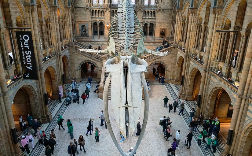
In 1899 the company went public and remained independent until 1959 when it was acquired by and merged into House of Fraser. In 1985 HoF fell into the private ownership of the Al-Fayed Brothers after a bitter struggle with Tiny Rowlands’ Lonrho Group. When HoF was relisted in 1994 Harrods was split off and became a private company once again. In 1989, Harrods introduced a dress code for customers and among the would-be patrons who fell foul of this were both Kylie Minogue and Jason Donovan, a Scout troop, a woman with a Mohican hair cut and the entire first team of FC Shakhtar Donetsk. This no longer appears to be enforced by the current owners, the Qatari Investment Authority, who bought out the now thoroughly disgraced Mohamed Al-Fayed in 2010. As already noted, I had qualms about stepping inside Harrods especially as its key interior feature, the Egyptian-themed central escalator was commissioned by Al-Fayed, whose face adorns the many pharaonic statues you pass. However, it is a tour-de-force of kitsch excess so, as long as you don’t actually buy anything, it’s worth experiencing as a one-off.

The store wasn’t exactly heaving and, aside from visitors from the Gulf petro-states, it’s hard to see who would be interested in buying stuff here that is available far cheaper elsewhere. There is, of course, merchandise which is unique to this particular emporium but surely even the tackiest of billionaires would baulk at throwing away £25,000 on this.

Having entered Harrods from the Hans Road entrance I exited via the main entrance on Brompton Road and headed back towards the tube station before cutting through Knightsbridge Green onto Knightsbridge (the road). There’s absolutely no trace of greenery on Knightsbridge Green but it does boast one of these (yes even here).

Once out onto Knightsbridge we’re confronted by the blot on the horizon that is the Hyde Park Barracks (aka Knightsbridge Barracks). This site, only 1.2km from Buckingham Palace, has been a home to the Horse Guards since 1795 but the current buildings, designed by Sir Basil Spence (1907 – 1976), were completed in 1970. They provide accommodation for 23 officers, 60 warrant officers and non-commissioned officers, 431 rank and file, and 273 horses. The most prominent feature is the 33-storey, 94-metre residential tower. The barracks have been described as “the ugliest building in London” by critic A.A Gill and were voted no.8 in a list of Britain’s top ten eyesores compiled from a poll of the readers of Country Life magazine. Loath as I am to align myself with either I find it hard to disagree.

Heading south on Trevor Street we enter Trevor Square, the first of many, many residential squares built around private gardens that we’ll encounter today. This one dates from the 1820’s and is named after Arthur Hill-Trevor, 3rd Viscount Dungannon who agreed to demolish his Powis House in 1811 to make way for the new development. At the southern end stands the former Harrods Depositary building which was subject to a residential redevelopment in 2002.

From Trevor Square we loop round Lancelot Place and Raphael Street back onto Brompton Road then follow Trevor Place up to Knightsbridge once more. Next stop, continuing west, is Rutland Gardens at the far end of which is the Turkish consulate. I assume none of the several Bentleys parked end to end down the street are related to this but I could be mistaken.

We return to Knightsbridge and as it merges into Kensington Road we turn south on Rutland Gate. Proceeding down the eastern section of this two-pronged thoroughfare we pass the Grade II Listed Eresby House from 1934.

At the bottom of Rutland Gate we turn left into Rutland Mews East which we exit from onto Rutland Street via “The Hole In The Wall” which is explained thus in the metal plaque on the wall beside it. This boundary wall of the Rutland Estate was destroyed by a bomb, during World War II, on 25 September 1940. At the request of residents a right of way was established when the wall was rebuilt by the City of Westminster in 1948 and has come to be known as ‘the hole in the wall.

Heading up Montpelier Walk we swing right into Montpelier Square and circumnavigate this get to Sterling Street. No.1 Sterling Street has a blue plaque commemorating the humorist and cartoonist, Bruce Bairnsfather (1887 – 1959). Bairnsfather was commissioned into the Royal Warwickshire Regiment in 1914 as a second lieutenant and served with a machine gun unit in France until 1915, when he was hospitalised with shell shock sustained during the Second Battle of Ypres. While in recovery he developed his humorous series for the Bystander weekly tabloid about life in the trenches, featuring “Old Bill”, a curmudgeonly soldier with trademark walrus moustache and balaclava. The character became hugely popular during WW1, a success that continued through the inter-war years. And because many police officers at that time sported a similar type of facial hair it is probable that he was the inspiration for the police becoming known as “The Old Bill”.

Turning into Montpelier Place we pass the Deutsche Evangelische Christuskirche, established in 1904 to serve West London’s German Lutheran community. It was funded by Baron Sir John Henry Schroder (neé von Schröder) who had moved to England at the age of 16 to join the London office of the eponymous Merchant Banking firm created by his father. He was awarded his Baronetcy in 1892. The dedication of the church was attended by two of Queen Victoria’s grand-daughters and one of her sons-in-law.

Following Montpelier Street back towards the Brompton Road we turn west onto Cheval Place just after Bonham’s Auctioneers. This is the international firm’s second auction house in London, after the flagship saleroom in Bond Street. The presence of a chauffeur-driven car parked on double yellow lines tends to be the rule rather than the exception in this part of town.

On the other side of Montpelier Street there’s a sign on one of the buildings that reads Montpelier Mineral Water Works. Unfortunately, I haven’t been able to discover anything about this save that Montpelier Mineral Water was a genuine product once upon a time.

Anyway, back to Cheval Place which runs parallel to the Brompton Road and affords a view of the dome of Brompton Oratory, of which more later.

After a quick look at Fairholt Street we follow Rutland Street back round to the Hole In the Wall and on the other side make our way up the other leg of Rutland Gate. About half way up is one of several postboxes in London adorned with a plaque commemorating the bicentenary of the birth of novelist Anthony Trollope (1815 – 1882). In 1850’s, Trollope worked as a surveyor in the Post Office (going on to attain a senior position within the management hierarchy. At that time letters had to be taken to the local receiving house (early form of post office) or handed to a Bellman who walked the streets in uniform, ringing a bell to attract attention. Trollope was given the task of finding a solution to the problem of collecting mail on the Channel Islands where the usual practice was proving unsatisfactory. He recommended a device he may have seen in use in Paris: a “letter-receiving pillar” out of cast iron and around 1.5m high. The first four such pillar boxes were erected in David Place, New Street, Cheapside and St Clement’s Road in Saint Helier in 1852. In the beginning, there was no standard design for the boxes and numerous foundries created different sizes, shapes and colours. In 1859, a bronze green colour became standard on the basis that this would be unobtrusive. However, it soon became clear that it was too unobtrusive, since people kept walking into them and red became the standard colour in 1874.

Arriving at the junction of Rutland Gate and Knightsbridge we encounter something of a mystery. 2–8a Rutland Gate is a large white stuccoed house originally built as a terrace of four houses in the mid 19th-century and converted into a single property in the 1980s. In 2012, the house was described as having seven storeys and 45 bedrooms, with a total size of 5,600 m2 and including a swimming pool, underground parking, several lifts, bulletproof windows and substantial interior decoration of gold leaf. In April 2020, it was bought by a Chinese businessman for a reputed £210 million, making it quite probably the most expensive house ever sold in the UK. But then in 2022 it was reported that it had been put on the market again. Either way it doesn’t look like anyone is in residence at the present time although someone has made themselves at home out front.

We continue west along Princes Gate and turn south into Ennismore Gardens on the east side of which we find the Russian Orthodox Cathedral of the Dormition of the Mother of God and All Saints home to the Russian Orthodox Diocese of Sourozh. This former Anglican church dates back to 1849 when architect Lewis Vulliamy proposed a design in the Lombard style instead of the conventional Gothic of the time. His vision wasn’t fully realized for lack of finance but in 1891 the church was remodelled such that the main façade is a very close copy of that of the Basilica of San Zeno in Verona. In the mid-1950’s the building was let to the Russian Orthodox Church and in 1978 the Sourozh Diocese bought it outright. It has a Grade II* listing. The interior is very lavish with plenty of gold (leaf) on show and filled with icons (which they ask you not to photograph up close). There are also a large number of framed texts, which my A Level Russian from nearly half a century ago allows me to read but not understand.

At nos. 61-62 Ennismore Gardens is the consular section of the Libyan Embassy (though there’s nothing on the building to identify it as such other than the flag). The website of the Royal Borough of Kensington & Chelsea has it listed under the splendid alternative name, The People’s Bureau of the Great Socialist People’s Libyan Arab Jamahiriya, though the page hasn’t been updated since 2016.

We complete a full circuit of the actual garden square bit of Ennismore Gardens and then swing round the very picturesque Ennismore Mews into Ennismore Street.

Heading west, Ennismore Street becomes Ennismore Garden Mews (which is also very picturesque). At the entrance to the mews, which were built between 1868 and 1874 by Peter and Alexander Thorn on land belonging to the 3rd Earl of Listowel, stands a Grade II listed arch, featuring paired Ionic columns supporting an entablature (I had to look that up too).

To the south of the mews lies Holy Trinity Brompton, a Grade II listed Anglican church that was consecrated by the Bishop of London in 1829.

Beyond the churchyard, Ennismore Garden Mews takes a northward turn up to Prince’s Gardens. Princes Gardens Square was developed between the 1850’s and the 1870’s by by Sir Charles James Freake, one of the most successful speculative builders in Victorian London. Apart from those on the north side of the square and those fronting onto Exhibition Road all of Freake’s original white stuccoed townhouses were demolished in the 1950’s to make way for the expansion of the Imperial College campus. One of those remaining on Exhibition Road has since 1962 played host to the London branch of the Goethe-Institut (the German equivalent of the British Council).

We head south down Exhibition Road, concentrating solely on its east side first encountering the fabulous Art Deco apartment block, 59-63 Prince’s Gate, which was designed by Adie, Button & Partners and completed in 1935.

Immediately adjacent is the modernist Hyde Park Chapel of The Church of Jesus Christ of Latter-day Saints (in other words Mormon HQ London). This site, bombed during World War II, was originally identified as a suitable location for a Chapel in London by the then Mormon President in 1954 and was completed and dedicated in 1961.

First ice-cream van sighting of the year and March still a day away.

Two blocks further south and we reach the Victoria & Albert Museum which we enter via the Henry Cole Wing on Exhibition Road, designed by one of the museum’s in-house architects, Henry Scott. Constructed of brick and adorned with terracotta sculpture in an imitation Italian Renaissance style, it was completed in 1873.

The origins of the V&A lie in the Great Exhibition of 1851 after which, its creator and champion, Prince Albert, urged that the profits of the Exhibition be used to develop a cultural district of museums and colleges in South Kensington devoted to art and science education. The V&A, originally known as the Museum of Manufactures, was the first of these institutions. It was founded in 1852 and moved to its current home, comprised of two buildings (one a temporary iron structure) five years later, at which time it was renamed as The South Kensington Museum. The first Director of the museum was Henry Cole (1808 – 1882) who had been one of the driving forces behind the Great Exhibition. Over the next 40 years the museum grew in piecemeal fashion including the construction of the North Court and South Court. Then in the late 1880’s a competition was held to select a new professional architect to complete the Museum. The design of the winner, Aston Webb (1849 -1930), called for long galleries punctuated by a three-storey octagon surmounted by a small cupola, and on the west, a large square court (eventually octagonal) balanced by the Architectural Courts on the east. In May 1899, in what was to be her last public ceremony, Queen Victoria laid the foundation stone for Aston Webb’s new scheme. The occasion also marked the changing of the Museum’s name to the Victoria and Albert Museum. As the building neared completion, a Committee of Re-arrangement looked at the question of how all the empty new galleries and courts should be filled. It decreed that the whole collection should be displayed by material (all the wood, together, all the textiles, all the ceramics etc.) in a huge three-dimensional encyclopaedia of materials and techniques. One of the last things to be completed was the inscription round the main door arch, which was adapted from Sir Joshua Reynolds: “The excellence of every art must consist in the complete accomplishment of its purpose”. The Museum was finally finished on 26 June 1909, more than 50 years after work had started on the original structures.

I’ve visited the V&A on numerous occasions over the years and yet I’m still staggered by the scale of some of the exhibits on display. One of these monumental objects is the Rood-loft (or Choir Screen) from St John’s Cathedral in ‘s-Hertogenbosch, Germany created in the 1610’s. Carved from two types of alabaster and two types of stone it stands 7.8m tall and over 10m wide. The rood-loft was acquired by the V&A from the art dealer Murray Marks who had purchased it from the cathedral authorities. It was probably removed from the cathedral in 1866 because it obstructed the congregation’s view of the high altar and because its style clashed with that of the Gothic church. In 1871 it was purchased outright, transported to England in sections and was rebuilt on the south wall of the Cast Court. During 1923-4 it was dismantled again and reconstructed in Gallery 50. I’ve looked very closely every time and still can’t see the joins.  One of the highlights of the museum is the John Madejski Garden, which was sadly closed for renovations at the moment so the photo in the slideshow below is from a previous visit. Originally this was a courtyard; the pool, lawns and planting which can be seen today were created by the landscape architect Kim Wilkie in 2005.

Henry Cole lived and worked at 33 Thurloe Square, directly opposite the museum. In addition to his achievements relating to the Museum and the Great Exhibition, Cole is credited with devising the concept of sending greetings cards at Christmas, introducing the world’s first commercial Christmas card in 1843.

We continue east along the south side of Thurloe Place before turning right onto the stretch of the Brompton Road that heads off towards Chelsea. This takes us past Empire House, built between 1911 and 1918 in a florid free baroque style with sculpted decoration on Portland stone, as the new UK HQ and showroom of the Continental Tyre and Rubber Company Ltd. Continental only occupied the building until around 1925 at which point it was sold and converted into shops and flats by the architect Henry Branch.

At no.24 Alexander Square, fronting the Brompton Road, a blue plaque commemorates the architect George Godwin (1813 -1888). His works included churches, housing and public buildings, and large areas of South Kensington and Earl’s Court, including five public houses. His memorial in Brompton Cemetery is Grade II listed, unlike any of the buildings he created.

Opposite here, on the corner of Brompton Road and Egerton Gardens, stands Mortimer House built by the one-time Governor of the Bank of England, Edward Howley Palmer, in the mid-1880s. The house is built in the late 19th-century Tudorbethan style in red and blue interspersed brickwork, with various decorations including gables and statues of griffins and bears with shields. Tall groups of brick chimney stacks surmount the property. The stables of the house have a conical roof and are now garages. A swimming pool in a conservatory was added in the late 20th century. Mortimer House was home to the chairman of British American Tobacco, Sir Frederick Macnaghten, in the 1950s and 1960s and continues to be privately owned.

In December 2013 Edgerton Crescent was named the “most expensive street in Britain” for the second successive year, with an average house price of £7.4 million. Since then it’s relinquished that particular title but is still very desirable. David Frost lived here in the late 1960’s apparently.

Having followed the crescent back to Edgerton Gardens we loop round into Edgerton Terrace which we look up and down taking particular note of the splendid palm tree adorning the small garden around which Edgerton Place curves.

The final section of Edgerton Gardens leads into Yeoman’s Row which has a blue plaque at no.18 for the modernist architect Wells Coates (1895 – 1958) who is perhaps best known for the Isokon Building in Hampstead (which is a must visit if you ever get the chance).

At the end of Yeoman’s Row, Glynde Mews takes us onto Walton Street from where the next links back to Brompton Road are Ovington Square and Ovington Gardens. At the top end of the latter there’s another blue plaque, this one in honour of the American singer and actress, Elizabeth Welch (1904 – 2003). Although American-born, to a father of Indigenous American and African American ancestry and a mother of Scottish and Irish descent, she was based in Britain for most of her career. During WWII, she remained in London during the Blitz, and entertained the armed forces as a member of Sir John Gielgud’s company. After the war she performed in many West End shows as well as making numerous appearances on television and radio. She featured in the Royal Variety Performance twice; did Desert Island Discs twice, and in 1979 was cast as a Goddess by Derek Jarman, singing “Stormy Weather” in his film version of Shakespeare’s The Tempest.

Next on the right, continuing east, is Beauchamp Place where there were a couple of unscheduled stops I couldn’t resist. First up was the Map House which has been selling and supplying maps to collectors, motorists, aviators, explorers, Prime Ministers and the Royal Family since 1907. That was the year Sifton, Praed & Company Ltd. (trading as The Map House) was established in St. James’s Street. The Map House moved to its present location at No. 54 Beauchamp Place in 1973 and it continues to house the most comprehensive selection of original antique and vintage maps, globes, and engravings offered for sale anywhere in the world; over 10,000 maps alone. There are some fascinating examples out on display which all are welcome to come in and check out.

I wasn’t going to stop off for a drink today but given that it was my mother’s maiden name I couldn’t pass by the opportunity to make the Beauchamp the pub of the day.

Beauchamp Place is named after  Edward Seymour, Viscount Beauchamp, who was a nephew of Jane Seymour (Henry VIII’s third wife) and therefore cousin to Edward VI. It also afforded a celebrity spot of the day in the shape of Alexander Armstrong, of Pointless fame.

Leaving all this behind, we turn east onto Walton Street and head back towards Harrods. Facing onto Walton Place and surrounded on its other sides by Pont Mews is the Grade II listed St Saviours Church designed by George Basevi (1794-1845). Basevi was also responsible for the design of the Fitzwilliam Museum in Cambridge. The church was built in the Early Decorated style of the Gothic Revival on a site donated by the Earl of Cadogan and consecrated in 1840. The building was sold by the Diocese of London in 1998 for a reported £1 million and converted into a private home. (Also reportedly) it was owned by Alain Boublil, writer of Les Misérables and Miss Saigon, for 6 years before selling in 2009 for £13.5 million to a Thai businessman who spent an additional £10 million on a major renovation. In 2019 it was listed for sale at £55m but is currently on the market for £44m.

We return to the Brompton Road again via Hans Place and turn to the west. After visiting Brompton Place and Beaufort Gardens we cross over to the north side of Brompton Road and make our way down to Brompton Square which boasts three blue plaques. No. 25 was home to the writer Edward Frederic Benson (1867 – 1940) who is probably best known for his Mapp and Lucia series of novels and short stories. These have been adapted twice for TV; in 1985 with Prunella Scales and Geraldine McEwan in the title roles and in 2014 with Miranda Richardson and Anna Chancellor. French Poet and critic, Stephane Mallarmé (1842 – 1898) stayed at no.6 in 1863 while studying for an English teaching certificate. Mallarmé’s poetry has been the inspiration for several musical pieces, notably Claude Debussy’s Prélude à l’après-midi d’un faune (1894) and Maurice Ravel’s Trois poèmes de Mallarmé (1913) and his work has remained influential throughout the 20th and into the present century.

After a quick run up Cottage Place which leads to Holy Trinity Church (see above) we turn our attention to what is commonly known as Brompton Oratory. This famous Roman Catholic church should correctly be referred to as the Church of the Immaculate Heart of Mary. It is the second-largest Catholic church in London, with a nave exceeding in width even that of St Paul’s Cathedral (Anglican). The Oratory was founded by John Henry Newman (1801 – 1890), following his conversion to Catholicism in 1845, along with a group of other converts, including Father Frederick William Faber. The design, in the Renaissance style, by Herbert Gribble, a twenty-nine year old recent convert from Devon, was judged the winner in a competition for which Gribble was awarded a prize of £200 by the Fathers.  The foundation stone was laid in June 1880 and the neo-baroque building was privately consecrated on the 16th April 1884. The façade at the South end was not added until 1893 and the outer dome was completed in 1895-96 to a design of George Sherrin.  The last major external work was the erection of the adjacent memorial to Newman in 1896 (six years after his death).

Before we head home via South Kensington tube there is on final point of interest which is the side entrance to the disused Brompton Road tube station on Cottage Place. Brompton Road was opened in 1906 by the Great Northern, Piccadilly and Brompton Railway, located between Knightsbridge and South Kensington on the Piccadilly Line. From the outset it saw little passenger usage and within a few years some services were passing through without stopping. In 1934 when Knightsbridge station was modernised with escalators and provided with a new southern entrance Brompton Road was closed. And, since that brings us full circle, we’ll sign off there. This one’s been a bit of a monster so huge thanks if you’ve managed to stick with it to the bitter end.

Day 80 – Elephant & Castle – New Kent Road

Today’s excursion takes us on a tour of the very differing areas on either side of the New Kent Road and as such is one for both fans of pre- and post-war public housing developments and fans of tearing down the latter. This is because the area to the immediate east of Elephant & Castle and south of new Kent Road has been the site of arguably the largest regeneration project in the capital this century. In the 2010’s the massive and infamous Heygate Estate, built in 1974, along with other adjacent post-war social housing was demolished and the site has subsequently been redeveloped as Elephant Park, a mix of new private and social high-rise housing including, what is claimed to be “the largest new green space to be created in London for 70 years”. More details on that later.

We’re starting out today at the Bakerloo Line entrance/exit of Elephant & Castle Tube Station. This dates from 1906 and is in the classic Leslie Green style with façade of oxblood red tiles. The Northern Line station to the south was originally built sixteen years earlier but that has been rebuilt several times over the years whereas the Bakerloo Line building remains pretty much as when constructed. A girl, named Mary Ashfield Eleanor Hammond, born at the station on 13 May 1924 was the first baby to be born on the Underground network. Her second name, Ashfield, was from Lord Ashfield, chairman of the railway, who agreed to be the baby’s godfather, but also said that “it would not do to encourage this sort of thing as I am a busy man”.

We follow the roundabout to Newington Causeway and then complete an outstanding section to the north-west of E&C that includes most of the London South Bank University (including its Technopark).  Founded in 1892 as the Borough Polytechnic Institute, LSBU attained university status in the year of its centenary; 70% of UK students are Londoners and 80% of the total student body are classified as mature (over the age of 21 at entry). Circumventing the campus takes us via Keyworth Street, Ontario Street, Thomas Doyle Street, Rotary Street, Garden Row, Gaywood Street and Princess Street.

Arriving back the roundabout we head round on to the New Kent Road (NKR)where from the very off the new division between north and south of the road is starkly apparent.

We soon pass the beneath the southbound Thameslink rail line and immediately turn left down Arch Street which runs down onto Rockingham Street from where Tiverton Street and Avonmouth Street take us back onto Newington Causeway and Sessions House, the home of the Inner London Crown Court (2.5* on Google). A Surrey County Sessions House originally stood on this site from 1791, a sessions house historically being a courthouse where criminal trials (sessions) were held four times a year on quarter days. By the mid-19th century however it was sitting regularly and operating as the main County Court. Following local government reorganisation in 1889 the Sessions House was no longer within the bounds of Surrey and fell under the aegis of the London County Council which decided to rebuild and expand the facility. The current building was designed by the London county architect, W. E. Riley, in the classical style. Work began in 1914 but due to the First World War wasn’t completed until 1920. Following the Courts Act of 1971 the building was designated as a Crown Court venue which meant it could hear cases relating to more serious criminality.

Beyond the court we turn right onto Harper Road and proceed as far as the Baitul Aziz Mosque and Islamic Cultural Centre.

Then we head up Bath Terrace back to Rockingham Street and follow this, via Meadow Row, as it loops round to the north to return us to Harper Road. This part of the route takes us through the heart of the enormous 1930’s built Rockingham Estate. The following is an extract from one of the contributions to the BBC’s archive of WW2 reminiscences. In 1936 my mother and father moved to a newly built London County Council flat on the Rockingham Estate at the Elephant & Castle. We were allocated number 34 Banks House, which was at the foot of the stairs leading to four further levels. Forty-five flats in all. These were luxurious to what most people had been used to at the time – three bedrooms, a living room, kitchen, bath and separate lavatory. The blocks were surrounded by lawns and shrubbery. Since 2019 both Southwark Council and the Mayor’s Office have funded initiatives aimed at tackling crime and anti-social behaviour on the Estate and based on this visit I would say it looks in a reasonable state considering it’s getting on for 90 years old.

On the corner of Rockingham Street and Harper Road stands the Colab Tavern which (and this is the first of few misconceptions today) at first sight, based partly on the picture of Tommy Shelby on the sign, seems to be a place to steer clear of. Turns out though that this is one of the venues run by an eponymous Theatre Company that specialises in immersive and interactive theatre. (Having said that you might still want to give it a wide berth given that the company’s current production is a drag panto parody of Die Hard called Dead Hard).

We turn left off Harper Road onto Falmouth Road which takes us down to Dover Street (the start of the A2) where we swing right towards the Bricklayers Arms roundabout. On the corner with Spurgeon Street is a rare example of a chicken shop that doesn’t try to trade under a name that has a tenuous association with KFC. I’ve also included this as a facile contrast and compare to the eating establishments that we’ll encounter on the other side of NKR.

Just before the roundabout we take a right onto Bartholomew Street then immediately right again down Burge Street which beyond the Cardinal Bourne Street cul-de-sac turns into Burbage Close. Coming out onto Spurgeon Street we turn left then return to Bartholomew Street via Deverell Street. Looming before us here is the giant Symington House, an eleven-storey ‘slab’ block on the Lawson Estate completed in 1962. It subsequently fell on hard times and in the 1980s, the Greater London Council (GLC) offered it to the private sector for just £1, to no avail. Though the GLC then modernised the building, in 2008 it was condemned by Southwark Borough Council. The booming London property market, however, saved it from demolition. The following year one of the flats became home to an installation by the artist Roger Hiorns, who had previously worked as a postman in the area. To make the piece, entitled Seizure, 75,000 litres of copper sulphate solution were poured into the flat. When it was drained a month later, every surface was covered with luminous blue crystals. Seizure was moved to the Yorkshire Sculpture Park when the flats were finally redeveloped. (The bottom pictures below were taken when I visited the installation in 2009.)

At the end of Deverell Street there’s another old pub reimagined (this time through the prism of post-modern irony).

I wasn’t in all honesty expecting to see any plaques on today’s route but at no. 17 Bartholomew Street Southwark Council have erected one in honour of the architect Sir Ernest George (1839 – 1922) who spent part of his life in this Georgian terrace house. Amongst George’s works were the current Southwark Bridge (1921), and the Memorial to Heroic Self-Sacrifice in London’s Postman’s Park.

Next up we’re back on NKR and soon turning north again on Theobald Street which runs along the rear of the Ark Globe Academy School. This is one of 39 schools run by the Ark Charitable Trust which was founded in 2002 and is a so-called all-through establishment, so basically primary and secondary school combined. According to the Department of Education website it currently has 1,315 pupils out of a capacity of 1,645 and the Ofsted inspection of 2021 classified it as Good in 4 categories and Outstanding in 2.

We proceed next along County Street, which runs parallel to NKR on the north side, passing yet another reconstructed boozer. Jumping to conclusions again , I assumed that part of the lettering above the door had just fallen off and in doing so had turned the Rising Sun into something rather more unwelcoming. It transpires though that this is a deliberate renaming of what is now a dedicated LBGTQ bar.

At the western end of County Street there’s another case of redenomination that could be easily misconstrued (if you have a suspicious mind like mine). The Grade II listed chapel on the corner with Falmouth Road was built as the Welsh Presbyterian Star and Cross Church in 1888. It is constructed of red brick and gauged brickwork with Queen Anne and Romanesque influences. It currently serves as the London base for the Brotherhood of the Cross and Star (see what I mean). According to their website, the Brotherhood of the Cross and Star (BCS) is not a church or new religious movement (or a group of Marvel supervillains from the 1970’s). It is the fulfilment of Biblical scripture relating to the manifestation of God’s reign on earth recorded from Genesis to Revelation and was established in Nigeria in 1956 under the spiritual leadership of Olumba Olumba Obu. As far as the building goes, the complete gallery survives internally and the stained glass is good quality but the external fabric is in urgent need of repair. Reportedly, the congregation is actively engaged in discussion with potential funders to develop a repair project.

One final look at the north side of the NCR before we cross over into the brave new world. This part of South London has long been a stronghold of the Latin American diaspora and here, in between another Chicken Shop and a Lebanese Grill, they have their own butcher shop, La Reina (“the Queen”).

We cross over the NKR and enter its southern vicinity via Rodney Place where the final residential development of the Elephant Park scheme, the Wilderley, is well underway. Designed by architects HOK, The Wilderly is comprised of two buildings, The Tower (25 storeys) and Mansion Collections (11 storeys). Studios, one, two and three-bedroom residences are launching for sale in January 2025 with prices starting from £630,000 (but you do get access to a Wellness Studio and Gym and a Sanctuary Garden for that). The presence of a Simply Fresh outlet further underlines that we’re not in Kansas any more, Toto.

There’s still a bit of old London to explore before we get to Elephant Park in earnest however. Heading east on Munton Road and then turning left into Balfour Street we find ourselves at the rear of Driscoll House, the front of which faces onto the NKR. Built in 1913 as a women’s hostel, one of the very few, this was originally called Ada Lewis House, after the widow of money-lender and philanthropist, Samuel Lewis. Upon his death in 1901, Lewis left an endowment of £670,000 (equivalent to £30m today) to set up a charitable trust to provide housing for the poor. The building was acquired in 1965 by Terence Driscoll, founder of the International Language Club in Croydon who renamed it after himself. He repurposed it as an ultra-budget hotel (initially just for female guests) with around 200 very small bedrooms and communal bathrooms and toilets. In 1978, the policy was changed so that male as well as female guests were accepted. One floor was however reserved for female guests, and it was frowned on for men even to appear in the corridors of that floor. Up until the hotel’s closure in 2007 (a week after Terence Driscoll’s funeral), a single room cost just £30 per night or £150 per week, including breakfast and evening meal on weekdays, and breakfast, lunch and evening meal on weekends, which made it just about the cheapest place to stay in London. Following a successful campaign to save the building from demolition and have it listed it was refurbished and reopened as a hostel in 2012. The building currently houses refugees pending processing and is almost exclusively used for this purpose by the Home Office.

Switching southward on Balfour Street we head down to John Maurice Close and follow this east until it merges into Searles Road. This is home to what was formerly the Paragon School, built in 1900 following the demolition of The Paragon estate, six blocks of four storey semi-detached houses linked by a single-story colonnade, designed by Michael Searles (1750 – 1813) and built in1789-90 for the Rolls family. Searles went on to use the same name for a, now Grade I listed, 14-house perfect crescent in Blackheath. When the school opened it had no hot water or indoor sanitation and its headmaster was paid £26 a year. The school closed in 1988 and was for a number of years run by Southwark Council as a centre for Evening Classes and art studios before finally being sold for private development and converted into a residential building named The Paragon.

At the end of Searles Road we turn west on Darwin Street which eventually gives way to Hillery Close from where we take Salisbury Close up to Chatham Street. On the corner with Balfour Street the former Lady Margaret Church (1884 – 1977) became a branch of yet another Nigerian-based church, the fantastically-named Eternal Sacred Order of the Cherubim and Seraphim (ESOCS), founded in 1925 by Saint Moses Orimolade Tunolase. I wasn’t able however to find any concrete evidence that ESOCS is still active in this location.

After a quick look at Henshaw Street we continue west along Victory Place. Outside Victory Primary School (1913) is a plaque commemorating The Atlas Dyeworks which previously stood on this site and whose owners George Simpson, George Maule and Edward Nicholson, pioneered the production of Magenta-based dyes. Magenta, familiar to anyone with an inkjet printer, was originally called fuchsine and patented in 1859 by the French chemist François-Emmanuel Verguin. It was renamed to celebrate the Italian-French victory at the Battle of Magenta fought between the French and Austrians on 4 June 1859 near the Italian town of Magenta in Lombardy. That same year Simpson, Maule and Nicholson created an almost identical shade which they named roseine. A year later they also switched the name to Magenta having, according to some reports, acquired Verguin’s patent for £2,000. Some claim that Magenta is not technically a colour as it doesn’t have a wavelength of light and therefore is just a creation of the human brain. Notwithstanding that, it sits exactly halfway between red and blue on the RGB colour chart and in 2023 a shade of Magenta, Viva, was named as Pantone colour of the year.

And so, we finally head into the Elephant Park development area, having first skirted round it’s southern boundary via Heygate Street, Steedman Street and Hampton Street, crossing twice over the Walworth Road in the process. This 170 acre site was earmarked for a master-planned redevelopment budgeted at £1.5 billion from the mid 2000’s onward. As mentioned at the start, this led to the demolition of the brutalist Heygate Estate and adjacent social housing to be replaced with a mix of social and private-sector housing and green space of which Elephant Park forms a major part. Developer, Lendlease, has so far delivered 2,303 apartments and 8,600 sqm of retail space with a further 222 apartments, 1,000 sqm of office space and 400 sqm of retail space on the way. They have also recently opened the two-acre central park and Elephant Springs, an “urban oasis” featuring fountains, waterfalls, and slides (though as you can see below this is closed for the winter).

The area around Elephant & Castle has historically been very working class in character and in recent decades increasingly ethnically diverse. Driven by the development the demographics have been changing however with an influx of city workers and members of the South East Asian communities; both of whom are well catered for by the restaurants and bars of Elephant Park. (I never thought I would see the day when the Elephant & Castle hosted a Gail’s Bakery).

Elephant Park is traversed by Deacon Street and Ash Avenue. At the western end of the latter is Castle Square, a new public space and retail destination which is home to many of the traders formerly based in the old E & C shopping centre. The statue from the original Victorian Elephant & Castle pub which was demolished in 1959 now sits atop the main hub of Castle Square.

That shopping centre, designed by Boissevain & Osmond for the Willets Group, was opened in March 1965 and was the first covered shopping mall in Europe. It never quite lived up to the original ambitions of its developers to create “the Piccadilly of the South” though. In due course it came to be frequently voted the ugliest building in London (if not the whole of the UK) and its destruction in October 2020 was very much unlamented. That was definitely not the case for the adjacent Coronet Cinema which was demolished at the same, having survived since 1932. The current, since 2015, owners of the site, Delancey, are in the midst of a redevelopment plan for a new “town centre”, which is due to be completed in 2026. This is scheduled to include new housing at both affordable and market rent; a combination of shops, restaurants and leisure facilities, with existing shopping centre independent traders getting first right of refusal to return to the affordable retail spaces; a state-of-the-art new home for London College of Communication and a new entrance to the Northern Line Underground providing both escalator and lift access and designed to safeguard for any future Bakerloo line extension. Watch this space (see below).

So that just about wraps things up for this time and its via the existing access to the Northern Line that we exit (pursued by an Elephant).

Day 79 – Kennington Road – Kennington Park Road – Kennington Lane – Imperial War Museum

As promised, we’ve ventured back south of the river for today’s outing and specifically, as the more insightful amongst you may have twigged, we’re talking Kennington. The route stretches from the axis of Kennington Road and Kennington Park Road to the south to the Imperial War Museum in the north, taking in all the streets within the wedge formed by those two main roads. It’s a mainly residential area with a familiar mix of historic terraces and squares cheek by jowl with high-rise estates. In recent times, Kennington has been on something of an upward curve as those Victorian and Georgian terraces became available to young professionals at a significant discount to similar properties in other areas of London.

Having alighted from the no.59 bus at the southern end of Kennington Road we start today’s features rather inauspiciously with the abandoned south London outpost of the Department of Trade and Industry, although if you turn the corner into Kennington Park Road there’s a still active Job Centre Plus in part of the same building (can’t remember seeing one of those in any of the previous 78 jaunts).

A short way up Kennington Park Road we turn left into Ravensdon Street and then double back down Stannary Street which takes us past the Kurdish Cultural Central. (Don’t worry, we’ve got some more photogenic buildings coming up later.)

On the other side of Stannary Street is the back of the former Kennington Road School. This impressive Grade II listed Victorian edifice which faces onto Kennington Road is now a gated luxury apartment complex known (pour quelle raison ?) as The Lycee.

A little way further up Kennington Road we turn off into Milverton Street. As I’ve noted before, I don’t have much of an interest in cars but I was quite taken with this pink jobbie claiming a disabled parking space just off the main road.

Immediately opposite here is the home of Kennington Film Studios, according to their website, “a commercial film & photography studio in Central London (really ?), offering 3 sound-treated studio spaces across 4,500sqft and 1 podcast/vodcast studio. In a former life, Channel 4’s Richard & Judy and the BBC’s Saturday Kitchen were apparently shot here.

Cutting through the alleyway that is Aulton Place we return to Stannary Street then cross back over Ravensdon Street into Radcot Street which leads straight into Methley Street. These latter three streets form the main part of an estate that was built in 1868 to the design of architect, Alfred Lovejoy. The elegant three-storey terraces are distinguished by the alternating colours of the bricks in the arches above the windows and doorways. By the end of the 19th century however, when Charlie Chaplin briefly resided at no.39 (and is assumed to have attended Kennington Road School) the area had already become somewhat impoverished.

The building on the right above, which is in Bowden Street, although incorporating similar architectural stylings, was originally a pickle factory. I’m not sure when it ceased making pickles but the building became the home of The Camera Club in 1990. The Camera Club was founded in 1885 when the editor of Amateur Photographer magazine, J Harris Stone, called together the most prominent photographers of that time, to create a group that aimed at being “A Social, Scientific and Artistic Centre for Amateur Photographers and others interested in Art and Science.”

Opposite where Bowden Street joins onto Cleaver Street stands the former Lambeth County Court. Built in 1928, it was designed by John Hatton Markham of the Office of Works, in what Historic England describes as “an eclectic classical style”. The list entry goes on to state “Lambeth County Court was the first new county court built in a rebuilding programme begun in the late 1920s, in recognition of the inadequacy of many existing buildings, particularly in London, for facilitating the important work done by the courts; the lavishness of this example, by comparison with those built later, probably reflects the fact that it was built before the crash of 1929”. That listing (Grade II) was only granted in 2021, four years after the building ceased to act as a Court and a few months after I visited it when it was being used temporarily as art gallery space (the interior shots in the sequence below date from that visit). The site is actually owned by the Duchy of Cornwall and it appears that the listing put paid (for the time being) to their plans to redevelop into offices and apartments.

Turning right here brings us into Cleaver Square which was laid out in 1789 and was the first garden square south of the river. Until the middle of the 18th century, this was still open pasture forming part of an estate known as White Bear Field that was inherited by one Mary Cleaver in 1743. In 1780 Mary leased the land to Thomas Ellis, the landlord of the Horns Tavern on Kennington Common, who laid out and developed the square, originally naming it Princes Place. The houses around the square were built on a piecemeal basis between 1788 and 1853. As we alluded to earlier, by the 1870s the area had reduced in status, and the houses were overcrowded. The renaming as Cleaver Square occurred in 1937. The Prince of Wales pub in the north west corner originally dates from 1792 but was refaced in 1901.

At its eastern end Cleaver Square rejoins Kennington Park Road and here you’ll find the City & Guilds of London Art School. This was founded in 1854 by the Reverend Robert Gregory under the name Lambeth School of Art. It moved to this location in Kennington post-1878 and the current name was adopted in 1938. After WWII restoration and carving courses were established to train people for the restoration of London’s war-damaged buildings. A Fine Art programme was only developed in the 1960’s.
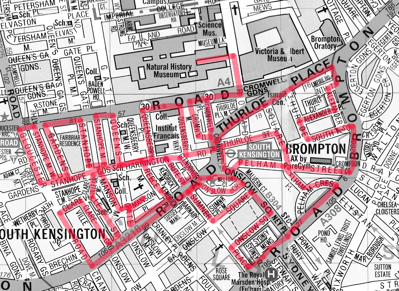
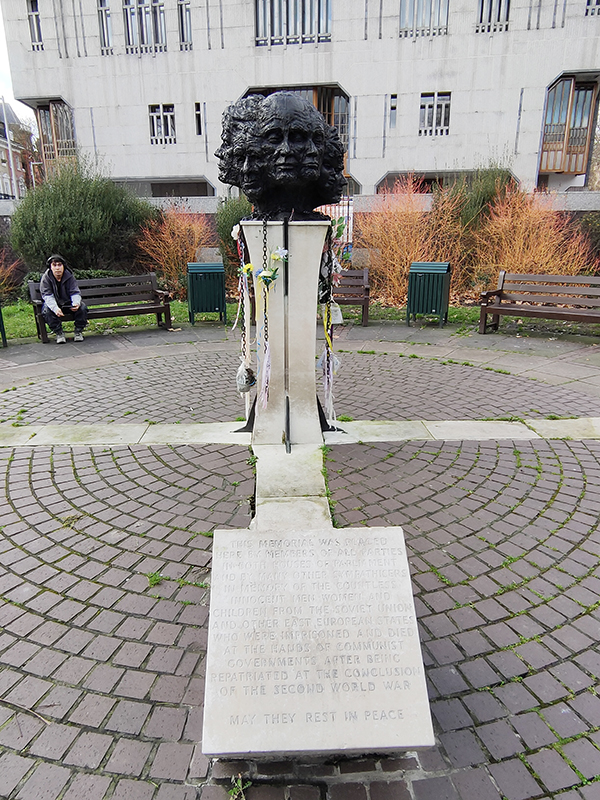
Continuing up Kennington Park Road we pass Kennington Tube Station. The station opened in 1890 as part of the City and South London Railway (CSLR), the world’s first underground electric railway which initially ran from King William Street to Morden. Since then surface building has remained largely unaltered although there have been several reconstructions and extensions underground. Travel between the surface and the platforms was originally by hydraulic lift, the equipment for which was housed in the dome. In 1900 King William Street station was closed and a new northern extension connecting London Bridge with Bank and Moorgate was created. Seven years later this was extended further to Kings Cross and Euston. After WW1 the Hampstead Tube which ran from Edgware to Embankment was extended to Kennington and merged with the CSLR to form what in 1937 came to be known as the Northern Line (with its two separate branches between Kennington and Camden). In 2021, after 6 years of construction, a new extension of the Charing Cross branch of the Northern Line was opened, running between Kennington and Battersea Power Station. It was the first major change to the tube network since the Jubilee Line extension in 1999.
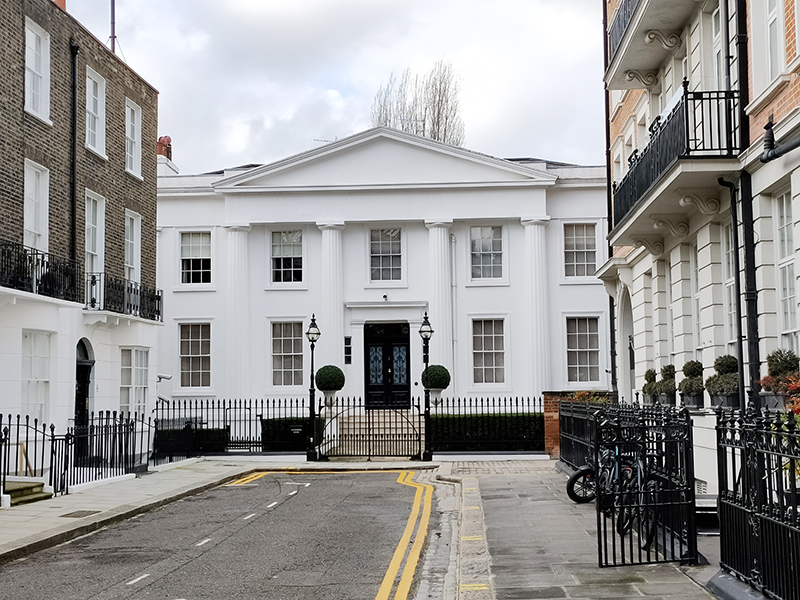
Further up the road from the tube station is the mock-tudor styled Old Red Lion pub which was built in 1933 by the London brewers Hoare and Co. (acquired later that same year by Charrington’s). This is another Grade II listing, on account of being one of the best preserved remaining examples of the interwar “Brewers Tudor” style of pub architecture with many original features still intact; including (for unknown reasons) a built-in painting of Bonnie Prince Charlie landing back in Scotland in 1745.

Opposite the pub on the east side is the parish church of St Mary Newington. For much of its history the parish of Newington was in the county of Surrey and was the County Town until Kingston-on-Thames superseded it in that role in 1893. The current operational church building was opened in 1958 and stands beside what remains of its predecessor, the latter having been burnt out in a 1941 air raid. That Victorian church was consecrated in 1876 and described, at the time, by Sir George Gilbert Scott (yes, him again) as “one of the finest modern churches in London”. The postcard from 1910 in the sequence below shows the church as it was when constructed; following the fire only the clock tower and the low section of the arcading between the two horse carts were left standing.

Turning west off Kennington Park Road we’re into an area of public housing starting with Cornwall Square which leads into Kennington Way which merges into White Hart Street that takes us out onto Kennington Lane. A right turn and then another into Cottington Street brings us to a green space which incorporates the small but perfectly-formed Queen Elizabeth Jubilee Garden.

Beyond this, Opal Street takes us through a public housing estate where (and why not) the various blocks and access routes are all named after Shakespearean characters. So you’ve got Othello Close, Isabella House, Hamlet Court, Portia Court, Falstaff Court, Ariel Court and Dumain Court. If like me you couldn’t place the last one, he’s apparently a Lord at the court of the King of Navarre in Love’s Labours Lost.

To the north of Kennington Lane, on Renfrew Road, is another Grade II listed former courthouse. Lambeth Magistrates’ Court (originally known as Lambeth Police Court) was built in 1869 and designed by Thomas Charles Sorby in the Gothic Revival style and is the earliest surviving example of a Criminal Magistrates Court in the Metropolitan area. Since 1978 it has been home to the Jamyang Buddhist Centre which “provides a place for the study and practice of Tibetan Buddhism in the Mahayana tradition following the lineage of His Holiness the Dalai Lama”. (Image on the right below from Jamyang.co.uk)

From Renfrew Road we move on to Gilbert Road followed by Wincott Street, Kempsford Road and Reedsworth Street which takes us back on to Kennington Lane.

Chester Way, Denny Street and Denny Crescent nestle in the apex of Kennington Lane and Kennington Road and this little triangle forms another part of the Kennington Conservation area. The properties here were built immediately before WWI for the Duchy of Cornwall estate and the Dutch style 2-storey red brick cottages which comprise Denny Crescent are now all Grade II listed.

Couldn’t resist this photo of Adam West as Batman teaching Road Safety in Denny Crescent in 1967. (Credit to https://www.theundergroundmap.com for unearthing that one).

Back on the other side of Kennington Lane is the Durning Library which was purpose built in 1889, designed by Sidney R.J. Smith the architect of Tate Britain, (once again) in the Gothic Revival style. It was a gift to the people of Kennington from Jemima Durning Smith, the daughter of the Manchester cotton merchant, John Benjamin Smith, who in 1835 became the founding chairman of the Anti-Corn Law League, and Jemina Durning, an heiress from Liverpool. Amazingly, it still operates as a library today, despite having been under threat of closure for the last 25 years.

Bang on the junction of Kennington Lane and Kennington Road stands another grand Victorian-era pub – The Doghouse. It was previously known as The Roebuck (which is what you would probably have to be to get from here to Big Ben in 20 minutes as their website proclaims).

Kennington Road (aka the A23) was constructed in 1751, a year after Westminster Bridge was opened in order to improve communication from the bridge to routes south of the river Thames. With the growing popularity of Brighton as a resort in the later eighteenth century it became part of the route there, used by George IV on his excursions there and later for the London to Brighton Veteran Car Run. Many of the original Georgian terraces built alongside the new road still survive. Sadly, I was unable to find out any information on these carved heads adorning the windows of one of those terraces.

Turning back onto Reedworth Street offers a clear view of the monolithic 23-storey Fairford House erected in 1968. This is one of three towers which constitute the Cotton Gardens estate, the other two being Ebenezer and Hurley. They were designed by the architect George Finch and constructed by Wates using a pre-fabricated system. I guess I don’t really need to labour the contrast with some of the other residences highlighted here.

We’re retracing our steps a bit next; back along Kempsford Road then up the full length of Wincott Street to return to Kennington Road. Resuming northward we almost immediately turn off onto Bishops Terrace before making a tour of Oakden Street, Monkton Street and St Mary’s Gardens. A rare bit of horticultural content now. This shrub growing out of the pavement on one stretch of St Mary’s Gardens is widely known as the Rose of Sharon (aka Hibiscus Syriacus). The Latin name derives from the fact that it was originally collected for gardens in Syria though it is native to southern China. It is also the national flower of South Korea.

Sullivan Street and Walcot Square bring us back to Kennington Road for a final time before heading off towards Elephant and Castle along Brook Drive. We turn south again at Dante Road and make our way to the Cinema Museum on Dugard Way via George Mathers Road. On the way we pass the Osborne Water Tower House. The tower was built in 1867 to provide a 30,000-gallon water supply for the nearby Lambeth Workhouse where more than 800 destitute families were once housed and where seven-year-old Charlie Chaplin lived with his impoverished mother. It was rescued from dereliction in 2010 and converted into a five bedroom home at an estimated cost of around £2 million (which doesn’t include the £380k purchase price); a project that was featured on the TV show Grand Designs. The refurbishment included the restoration of the tower and the addition of a two-level glass cube on top giving views across central and south London with the largest sliding doors in Europe installed. Having been initially marketed at £3.6m it was eventually sold for £2.75m in 2021.

The Cinema Museum museum occupies the former Victorian workhouse building referred to above. It was founded in 1984 by avid collectors, Ronald Grant and Martin Humphries and is the only museum in the UK devoted to the experience of going to the cinema. It houses an extensive collection of memorabilia relating to the history of cinemas (as opposed to film) in the UK from plush velvet seats, impressive illuminated signs and elegantly tailored usher’s uniforms to movie stills, posters and cans of film. Understandably, much is made of the Charlie Chaplin connection. The museum puts on several screenings a month of classic and cult films, many on 16mm. I would particularly recommend the Kennington Noir programme which runs on the 2nd or 3rd Wednesday in the month. A few years ago I helped out a few times as a volunteer manning the bar but I decided that was best left to those who live locally. You can only visit the museum through a pre-booked guided tour or by attending one of the screen events so the interior shot below is from a pre-Covid visit with @eyresusan.

We return to Dante Road via Holyoak Road then cut through Longville Road to St Mary’s Churchyard and follow Churchyard Row, which runs alongside, down to Newington Butts which joins Kennington Park Road to the Elephant and Castle roundabout. Before being appropriated as the name for this short strip of road, Newington Butts it’s own hamlet within the parish of Newington. It is believed to have been named so because of an archery butts, or practice field in the area (in case you were thinking of something else). Standing on the western side of the Elephant and Castle junction is the Metropolitan Tabernacle Baptist Church. The Metropolitan Tab­ernacle is an independent reformed Baptist church whose history goes back to 1650, thirty years after the sailing of the Pilgrim Fathers. The present site was acquired for the Tabernacle, in the mid-19th century, partly because it was thought to be the site of the execution of the Southwark Martyrs (3 men who were burned at the stake for heresy in 1557during the reign of the Catholic, Queen Mary I). The pastor at the time was Charles Haddon Spurgeon (1834 – 1892) who preached to crowds of up to 10,000, had 63 volumes of his sermons printed and led the Tabernacle to independence from the Baptist Union. The original Spurgeon’s Tabernacle was burned down in 1898 and rebuilt along similar lines. It was later burned down for the second time when hit by an incendiary bomb in May 1941. In 1957 it was rebuilt on the original perimeter walls, but to a different design.

Right next door to the Tabernacle is the London College of Communication (LCC), part of the University of the Arts London. It took up residence here in 1962 when it was known as the London College of Printing and its emphasis was on the graphic arts. Since then it has developed courses in photography, film, digital media and public relations and it took on its current name in 2004 to reflect this expansion. (No Grade II listing for this one as yet :)).

Beyond the LCC we turn onto St George’s Road and then make a series of crossings between this and Brook Drive. First up is Oswin Street followed by Elliotts Row. Hayles Buildings on the latter are artisans’ dwellings that were built in 1891 and 1902 by the Hayles Charity which today is part of the Walcot Foundation based in Lambeth.

Lamlash Street which links Elliotts Row to Hayles Street has, rather charmingly, been turned into a community garden.

West Square, which together with Orient Street, Hedger Street and Austral Street forms another pair of connections between St George’s Road and Brook Drive, is four sides of (mainly) Georgian terraces surrounding a communal garden (open to the public for once). The name comes from Colonel Temple West who died in 1784, bequeathing the land to his wife and eldest son, who shortly thereafter granted leases to build houses on the site. The garden is notable for a number of splendid and ancient mulberry trees.

Geraldine Street, which leads off of the north-western corner of the square offers a good view of the dome of the Imperial War Museum (IWM).

….and from here we can cut through into Geraldine Mary Harmsworth Park which occupies the former site of the Bethlem Royal Hospital. The 15 acre site was purchased by Geraldine’s son Harold in 1926 and opened as a park dedicated to her eight years later. Geraldine had 14 children in total, 11 of whom survived infancy, which she had to bring up in increasingly straightened circumstances due to her husband’s alcoholism. Harold, her second son, and eldest son, Alfred, went on to become the owners of The Daily Mirror and The Daily Mail and Viscount Rothermere and Viscount Northcliffe, respectively. Much of the credit (or blame depending on your perspective) for the rise of so-called popular journalism in this country rests on their shoulders.

In 2015 Australian artist, Morganico, was commissioned to create a sculpture with peace as its theme out of a diseased plane tree in the park. Had I done this walk just a year earlier I might have seen it still standing but, unfortunately, in 2023 it had to be felled as it was starting to rot.

As you may have surmised, The Imperial War Museum is the final item on the agenda for today. In 1917 the Government of the time decided that a National War Museum should be set up to collect and display material relating to the Great War (which was still being fought). Because of the interest from Dominion nations, many of whose subjects had fought and died in the war, the museum was given the title of Imperial War Museum. It was formally established by Act of Parliament in 1920 and opened in the Crystal Palace by King George V on 9 June 1920. From 1924 to 1935 it was housed in two galleries adjoining the former Imperial Institute, South Kensington then on 7 July 1936 the Duke of York, shortly to become King George VI, reopened the museum in its present home, formerly the central portion of Bethlem Royal Hospital, at the bequest of the aforementioned Lord (Viscount) Rothermere (aka Harold Harmsworth).

At the outset of the Second World War the IWM’s terms of reference were enlarged to cover both world wars and they were again extended in 1953 to include all military operations in which Britain or the Commonwealth have been involved since August 1914. In 2017 this remit expanded still further with an exhibition, People Power: Fighting for Peace, which told the story of how peace movements have influenced perceptions of war and conflict. The museum was itself the site of a disarmament demonstration, in 1983, organised by Southwark Greenham Women’s Peace Group.  The two guns in front of the museum were installed there in 1968. One came from HMS Ramillies which first saw action in 1920 during the Greco-Turkish War and was later used against Italian land forces and warships in 1940. The other, initially mounted on HMS Resolution, which also saw service during the Greco-Turkish War, was remounted in HMS Roberts, an important unit in the naval forces assembled for the invasion of Normandy in June 1944. 

Finally, just going back to the subject of exhibitions; although I didn’t see the one mentioned above I have been to a couple of excellent ones this year including one on the day of this visit showcasing the work of war photographer, Tim Hetherington, who tragically died in April 2011 from injuries sustained when photographing unrest in Libya. The exhibition is closed now but some of the videos included in it, such as Liberian Graffiti, are available to view online.

The Bigger Picture…

While I’m steeling myself for another trek around the streets of the capital I thought it might be an idea to present a brief overview of where this project has taken me to date.

I started out in July 2015 with the aim of walking every street featured in the large scale central section of the mini London A-Z. This is essentially the area within the yellow line in the map above. That original objective was eventually achieved in June 2019.

After a break of several months I decided to resume the walks with an extended target represented by the full compass of the map above (AZ Central London 2019); which is roughly equivalent to Zone 1 of the Tube and comprised of about 6,000 streets in total.

As you can see, in the five years since, I’ve probably got about halfway to that goal. These subsequent walks have been less frequent but have generally covered larger areas which is partly why the posts have become increasingly lengthy – rambling in more ways than one.

This map is quite biased towards West London and, as a result, my most recent excursions have actually taken me beyond its eastern border. When I do venture out again it looks like I’m going to have to bite the bullet and try and fill in some of those gaps south of the river.

Day 78 – Whitechapel High Street – Commercial Road – Prescot Street -Leman Street

Continuing north from where we left off last time, but with a much less ambitious itinerary, today’s excursion sees us back in the East End. We’re visiting Aldgate East and Whitechapel, specifically the area bounded to the north by Commercial Road (A13) and to the south by Cable Street and stretching from Mansell Street to Cannon Street Road west to east.

We start today’s journey at Aldgate tube station, crossing the road to cut through Little Somerset Street to Mansell Street, which replicates a very small part of the route we undertook on Day 20. This takes us past the Still and Star pub which at the time of that previous visit in 2017 was still a going concern. However, it was closed in 2020 and a application to demolish it and build an office development on the site was approved by the City of London (inside whose boundaries it just about lies). As you can see from the pictures below that development has yet to get underway; not unrelated to the pandemic I suspect. The loss of almost any pub is to be mourned but the demise of The Still and Star is especially sad as it was believed to be the sole example in the City of London of what is sometimes described as a ‘slum pub’ – in other words, a licensed premises converted from a private house. The name is also unique; apparently the pub originally had its own still, which was housed in the hayloft above, while ‘star’ refers to the Star of David, witnessing the Jewish population of Aldgate in the nineteenth century.

Mansell Street marks the actual boundary between the City of London and the borough of Tower Hamlets. Historically this was a pretty sharp dividing line but in recent years the office blocks and smart residential complexes have been encroaching beyond that line and starting to slightly change the tenor of an area that has for decades been home to a predominantly working class Bangladeshi community.

On the other side of Mansell Street we head east along Alie Street then turn right into a web of streets comprising Mark Street, North Tenter Street, West Tenter Street, East Tenter Street, South Tenter Street and Scarborough Street. The five-bay, four-storey, brick-faced warehouse at 18 East Tenter Street was built in 1905 for Israel Hyman and Sons, rag merchants. The architect was Gilbert Henry Lovegrove (1878–1951), a biographer of Sir John Vanbrugh, the builder S. Goodall of Stoke Newington. By the 1940s the building was being used as a ladies’ clothing factory called Albion Mills, a name that has been retained for its current incarnation as an office block.

We leave the various Tenter Streets behind via Mark Street onto Prescot Street, coming face to face with the erstwhile Whitechapel County Court, designed by Charles Reeves and Lewis G Butcher and built in 1858-9 in the then-popular Italianate style. Next door to this stands the Princess of Prussia Pub. The present building dates from 1913. Its predecessor, built in the mid 18th century, became a pub in the same year the County Court opened (and subsequently provided most of its trade) and was named in homage to the marriage of Princess Victoria (one of Queen Victoria’s daughters) to Frederick William, Crown Prince of Prussia one year earlier.

No. 1 Prescot Street is the imposing Grade II listed former Cooperative Wholesale Society building, once known as The Tea House. It was built between 1930 and 1933 to a design of architect, L G Ekins and is a rare example in Britain of the German Expressionist style of architecture. That rarity is hardly surprising in retrospect. Ironically, although this area suffered considerably in the Blitz, the Tea House survived intact.

In the mid 1700s, Prescot Street was briefly home to the London Infirmary before it became the London Hospital (now the Royal London Hospital) and moved elsewhere in Whitechapel. The building, which no longer stands, was subsequently occupied by The Magdalen House for Reception of Penitent Prostitutes. An old alleyway, Magdalen Passage, in between the old County Court and the HQ of the Royal College of Psychiatrists, survives to commemorate the name. Further to the west at no.30 stands The Roman Catholic English Martyrs Church, designed by Edward Welby Pugin. The foundation stone was laid by the then Archbishop of Westminster, Cardinal Henry Manning in 1873.

At the western end of Prescot Street we turn the corner and continue our eastward trajectory along Chamber Street which runs parallel to the DLR line and boasts, in the face of some stiff competition, the least inviting Travelodge I have yet to encounter (they’re so unproud of it it doesn’t even show up on Google maps).

At the end of Chamber Street we turn left onto Leman Street, named after Sir John Leman (1544 –1632) a merchant from Beccles (near Lowestoft) who served as Lord Mayor of London in 1616 and who used the proceeds from his trading in dairy products to purchase and build on this part of Aldgate.

The southern end of Leman Street

Prior to the construction of No.1 Prescot Street, the Cooperative Wholesale Society (what we now know as the Co-Op) had built an impressive London headquarters at 99 Leman Street in 1885-87. At the formal opening of the building, the CWS announced that it should “be their aim to make this beautiful building a common home for all the various movements having for their object the interest and advancement of the working people“. The building incorporated a sugar warehouse and so in time became known as Sugar House. In recent years it has been converted into luxury apartments which are listed at the kind of prices that would formerly have been unheard of in this area.

Further north on Leman Street is the Oliver Conquest pub. This dates from the mid 19th Century and was originally called the The Garrick as it was attached to the first Garrick Theatre, which was situated behind the pub. Benjamin Oliver Conquest was the theatre manager there in the early part of the 19th Century hence the name (nothing to do with Oliver Cromwell’s ravages of Ireland thankfully). This is another Grade II listing.

At the top of Leman Street we turn right onto Whitechapel High Street where we’re immediately confronted by another example of shameless association with the area’s most infamous character.

Fortunately, we only have to travel a a short way further for something altogether more edifying. Straddling one of the entrances to Aldgate East tube station, The Whitechapel Gallery was founded in 1901 to present “the finest art of the world for the people of the East End, London”. As a regular visitor over the last three decades I would say it’s made a pretty good fist of keeping to that aim. In 1939, Pablo Picasso’s iconic painting, Guernica, was presented at Whitechapel Gallery, during its only visit to Britain, and the Gallery has consistently premiered ground-breaking shows from artists as diverse as Barbara Hepworth (1954), Jackson Pollock (1958), Gilbert & George (1971), Frida Kahlo (1982) and Sonia Boyce (1988). In 2009 the gallery approximately doubled in size by incorporating the adjacent former Passmore Edwards library building. Its current exhibitions include Gavin Jantjes: To Be Free! A Retrospective 1970 – 2023 (until 1st September 2024) and Peter Kennard: Archive of Dissent (until January 2025). Both are worth seeing and the latter is free to visit.

Beyond the gallery, to the east, is what was once the site of St Mary Matfelon church, popularly known as St Mary’s, Whitechapel. Reputedly, the church was covered in a lime whitewash, which gave rise to the district becoming known by the name, Whitechapel. Last rebuilt in the 19th century, the church was firebombed during the Blitz leading to its demolition in 1952. The site, including the church’s nave’s stone footprint and the graveyard – headstones removed – was subsequently turned into a public park. The park was renamed Altab Ali Park in 1998 in memory of Altab Ali, a 24-year-old British Bangladeshi leather clothing worker, who was murdered on 4 May 1978, in the adjacent Adler Street, by three teenage boys as he walked home from work. Ali’s murder was one of the many racist attacks that occurred in the area at that time. At the entrance to the park is an arch created by David Petersen, developed as a memorial to Altab Ali and other victims of racist attacks. 

From here we turn southward down White Church Lane, striding swiftly past one of the most disturbing shop windows I’ve seen in a long while (if not ever).

After a brief nod to Assam Street on the left we turn right down Manningtree Street which takes us onto the Commercial Road. At nos.48 -50 Commercial Road is the Proof House which is operated by the Worshipful Company of Gunmakers who have been at this location since 1675 (just 38 years after being granted their charter) though these buildings date from the 19th century. The Proof House has statutory powers to test and regulate the safety of firearms and no gun can be legally sold in the United Kingdom without having undergone proof. It also ensures and certifies that guns wanted for display purposes, rather than use, have been made permanently unusable in the manner required by law and investigates accidents caused by firearms malfunction.

We head away from Commercial Road almost immediately via another stretch of Alie Street. A diversion onto Buckle Street takes us back to Leman Street from where we re-enter Alie Street at the site of St George’s German Lutheran Church. This is the oldest surviving German Lutheran church in the United Kingdom although it ceased to be a place of worship for yer actual German Lutherans in 1995. The founder was Dietrich Beckman, a successful sugar boiler who put up half the money required to buy the site and erect the church. This area of Whitechapel had many sugar refiners of German descent in the nineteenth century and they constituted most of the original congregation.

The area to the south of Alie Street was historically known as Goodman’s Fields and the name has been resurrected for the seven acre food, drink, health and entertainment destination created here on the site of an old postal sorting office within the last few years alongside 1000 new residential properties. There are two gyms, an escape room venue and a Curzon Cinema together with open spaces adorned with sculptural commissions. It looks like it’s been beamed here from another part of London altogether but all those properties have been sold.

After a stroll through Goodman’s Fields we emerge onto Hooper Street where we turn east and then make our way back to Commercial Road via Gower’s Walk. A former Victorian wool warehouse here has been converted into (or reimagined as) 110,000 sq ft of modern and characterful work space for entrepreneurs, innovators and creative minds known as The Loom.

On returning to Commercial road we turn right then right again onto Back Church Lane. By the junction with Boyd Street stands another repurposed warehouse. This one, originally the property of Charles Kinloch & Co Ltd, wine and spirit merchants, is now apartments.

Boyd Street doglegs into Henriques Street where this parade is perhaps another indicator of change in the air.

Also on Henriques Street is a building of 1903 vintage that started life as the London School Board Combined Skills centre. In 2010 it was repurposed as An Information and Communications Technology (ICT) centre for young people, and named the Tommy Flowers Centre after the Post Office engineer (1905 – 1998) who in WW2 designed and built Colossus, the world’s first programmable electronic computer, to help decipher encrypted German messages and who was born in Tower Hamlets. After the war Flowers applied for a loan from the Bank of England to build another machine like Colossus but was denied the loan because the bank did not believe that such a machine could work. He couldn’t argue that he had already designed and built many of these machines because his work on Colossus was covered by the Official Secrets Act. Sadly, the Tommy Flowers Centre hasn’t survived in its original guise; for a time it became part of the Tower Hamlets Pupil Referral Unit but at present it appears to be disused.

Next street leading south from Commercial Road after Henriques Street is Batty Street which ends at Fairclough Street where we turn east onto Christian Street ( a road out of place and time if ever there was).

As I’ve probably mentioned before, this part of the East End has had a longstanding association with the garment industry going back to the tailor’s shops of the 19th century Jewish immigrants. Nowadays it’s the Bangladeshi community that has taken on the rag trade mantle and this is in full evidence on Commercial Road in the form of the numerous wholesale fashion outlets that cluster on both sides. Some of these, mainly on the south side, appear to be more than a little disingenuous regarding their international associations. If any of their import or export business actually involves Paris (or New York or Milan) I’d eat one of those frocks. By contrast the operators based on the north side (bottom picture below) are happy to proclaim their parochialism.

We do one more loop in and out of Commercial Road before we leave it behind. This takes in Umberston Street, Amazon Street and Hessel Street before leading us south on Cannon Street Road. Between 1883 and 1913 this was home to one of the eponymous schools originally established by the philanthropist Henry Raine (who we encountered in the previous post).

Two thirds of the way to the intersection with Cable Street we turn right onto Ponler Street and then do circuit of Estate Road which unsurprisingly encompasses a social housing estate. I would have expected this to include Walford House (nothing to do with Eastenders) which lies immediately to the west but it transpires this includes some now-private flats which astonishingly (for those of you who live outside of London have a current market value of around £200k.

There follows a sequence of streets with nothing of note to report. To the east of Christian Street we have Langdale Street, Burslem Street, Wicker Street and Golding Street and, to the west, Ellen Street, Strutfield Street and Forbes Street. The latter brings us out onto Pinchin Street which again runs parallel to the DLR line. Here we find a warehouse used by the firm of Pinchin Johnson & Associates Ltd from 1859. Pinchin Johnson was a major supplier of paints and coatings to industry and consumers in the first half of the 20th century and was one of the original constituents of the FT 30 index when this was set up in 1935, although the company had been in existence for 100 years by then. In 1960, PJA was acquired by Courtaulds who, in 1968, merged it with the International Paint business they had acquired earlier in the year.

And that’s us done for the day save for a long stroll along Cable Street and Royal Mint Street back to Tower Hill. (And for the first time in a long while we’ve managed to come in under 3,000 words).