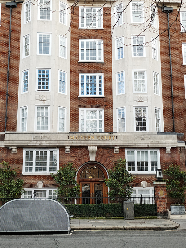
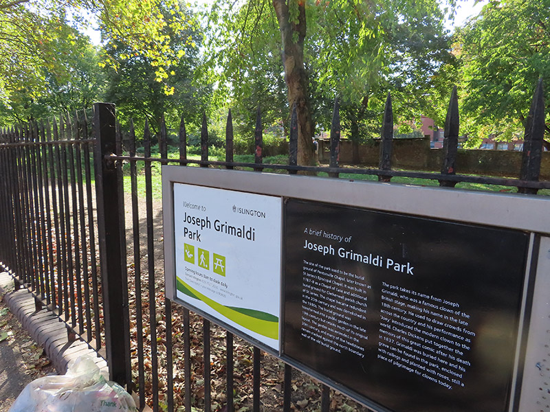
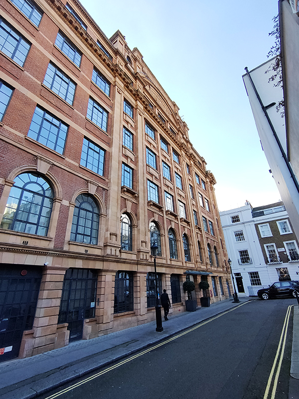
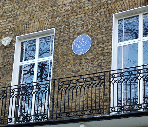
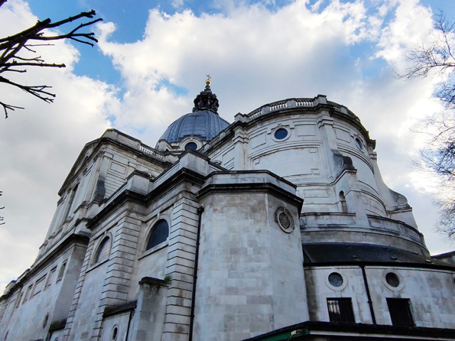
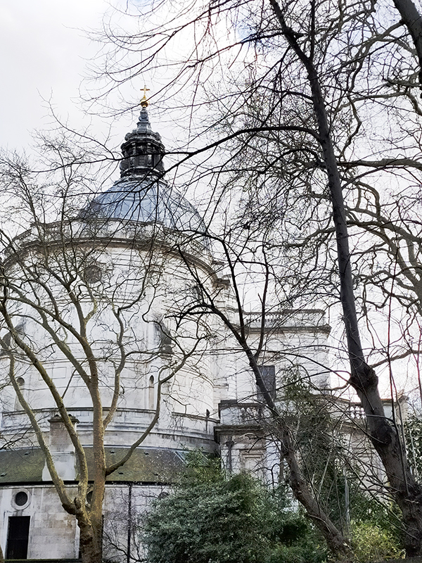
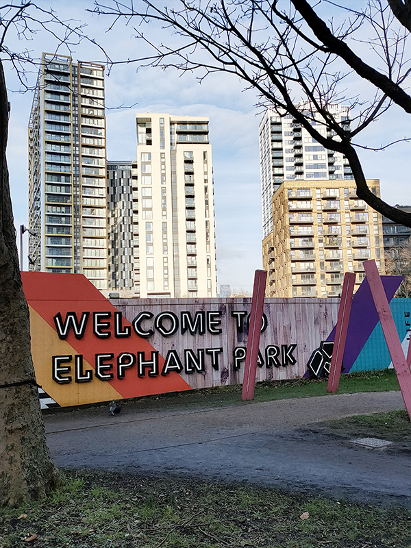
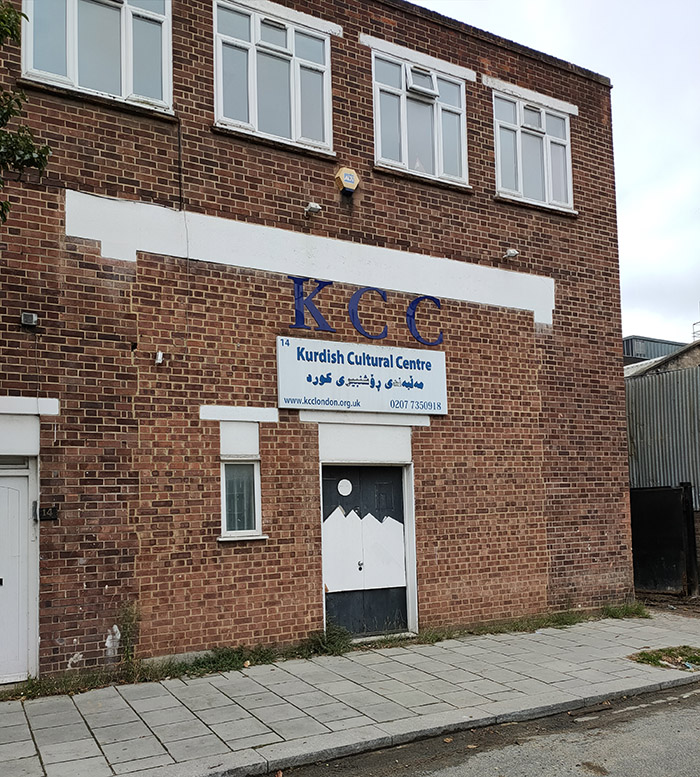
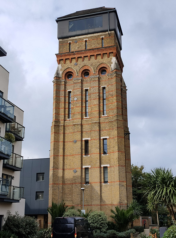
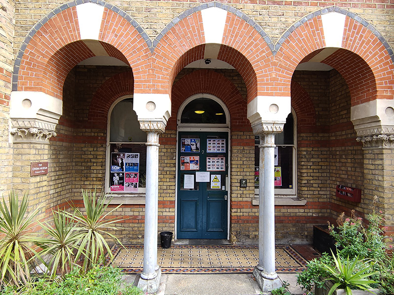
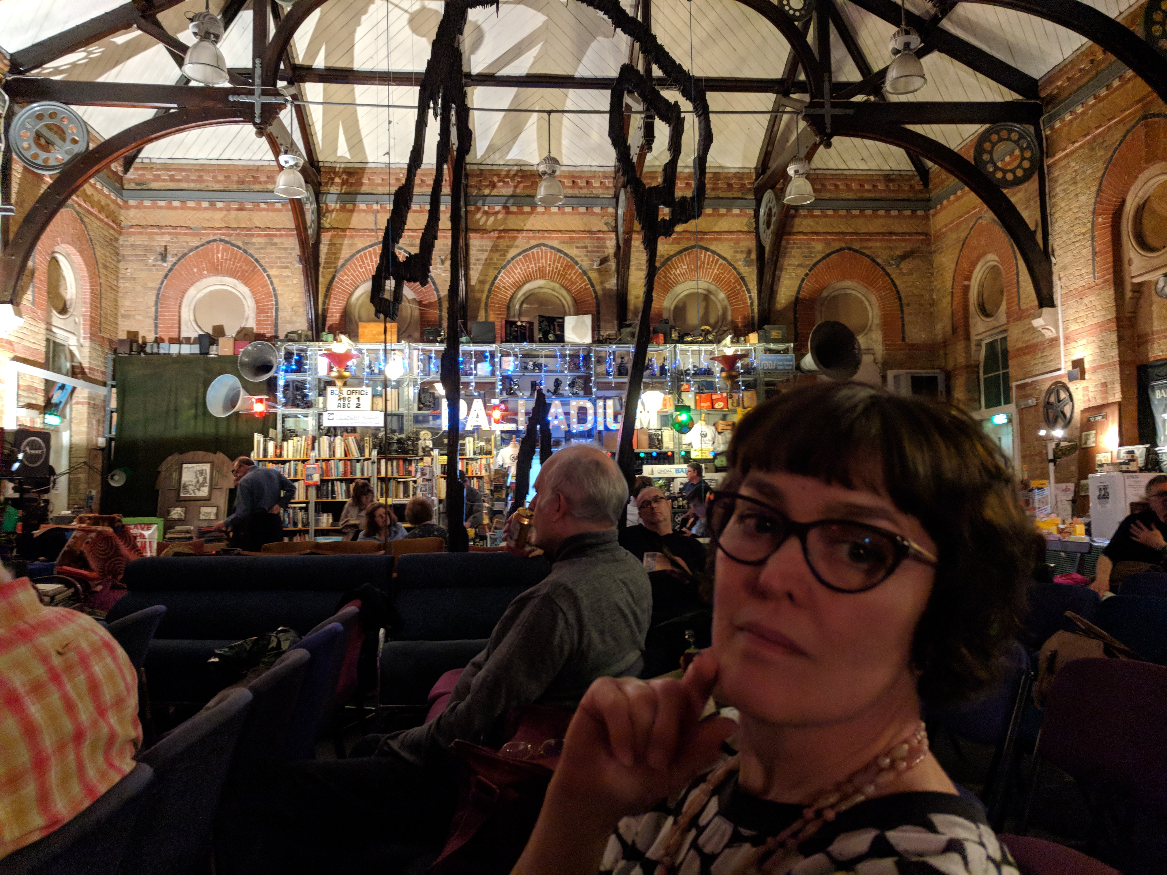
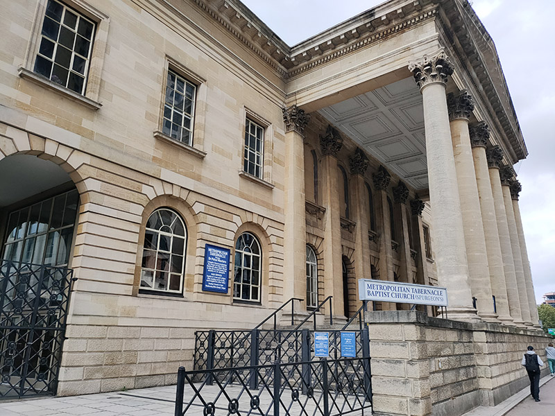
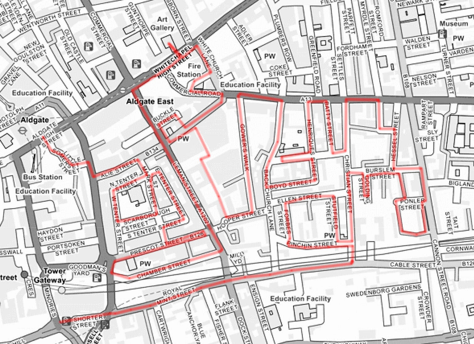
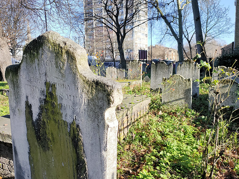
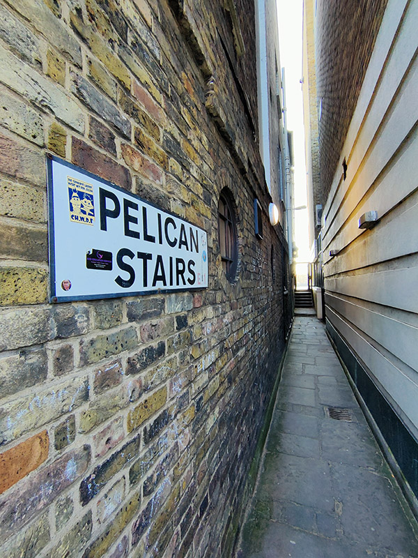
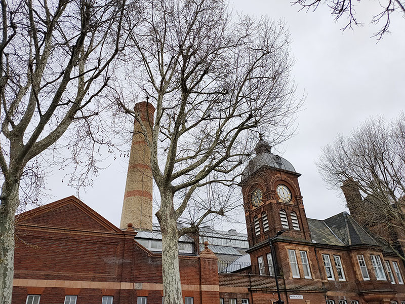
A grey day towards the end of March and a complete contrast from the previous outing sees us make another foray into the southlands. To be specific, we’re venturing beyond the Elephant and Castle into the territory that expands southward between the Walworth Road and Kennington Park Road. This area is predominantly occupied by Southwark-council run public housing so, unsurprisingly, the gentrification that we’ve seen making inroads in adjacent locales barely scratches the surface here. No museums or blue plaques (apart from one kind-of) to distract us today then but still plenty to take note of. It’s also an area that suffered considerable damage as a result of the Luftwaffe’s bombing campaign in late 1940.
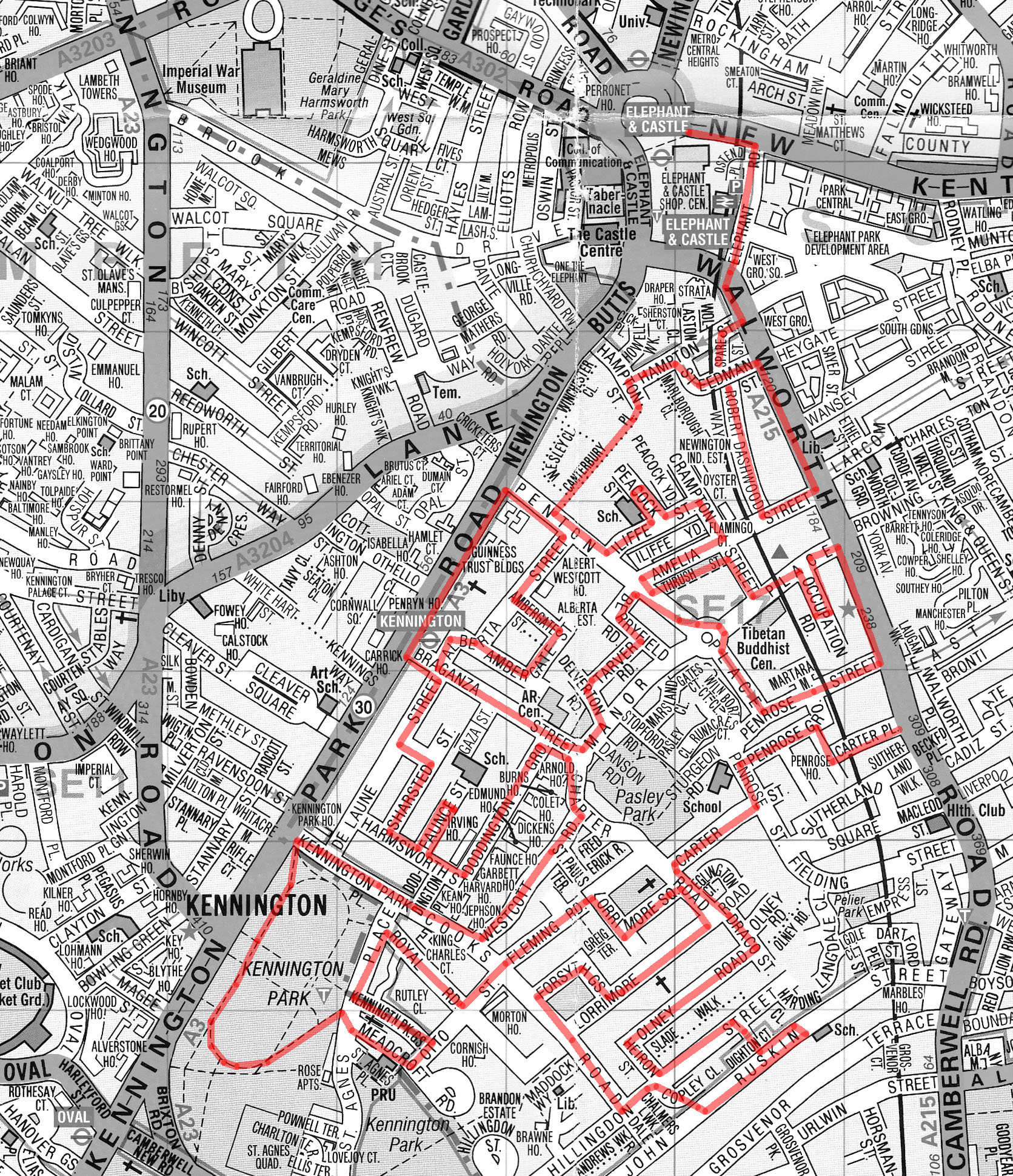
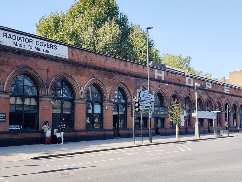
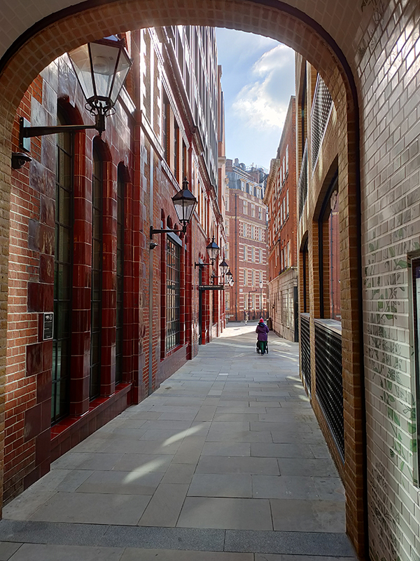
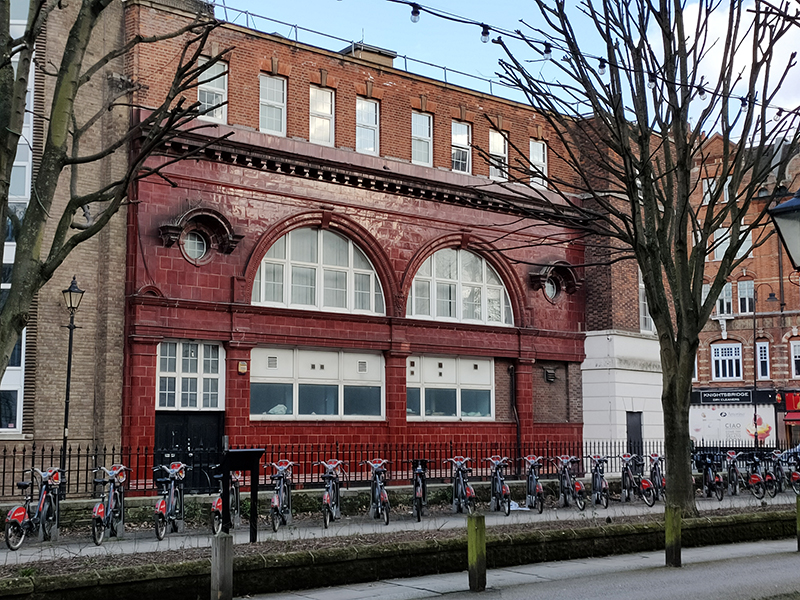
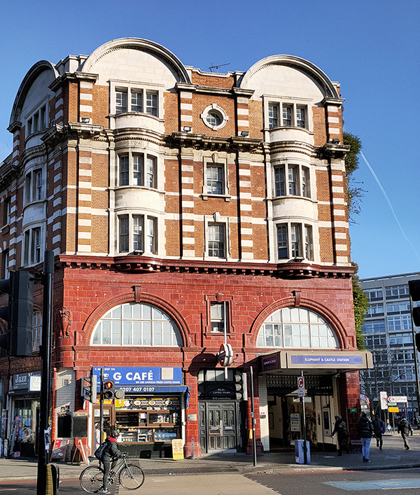
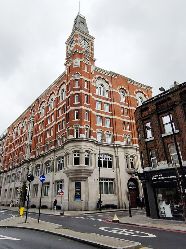
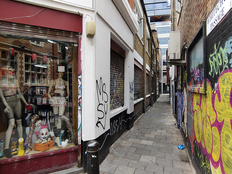
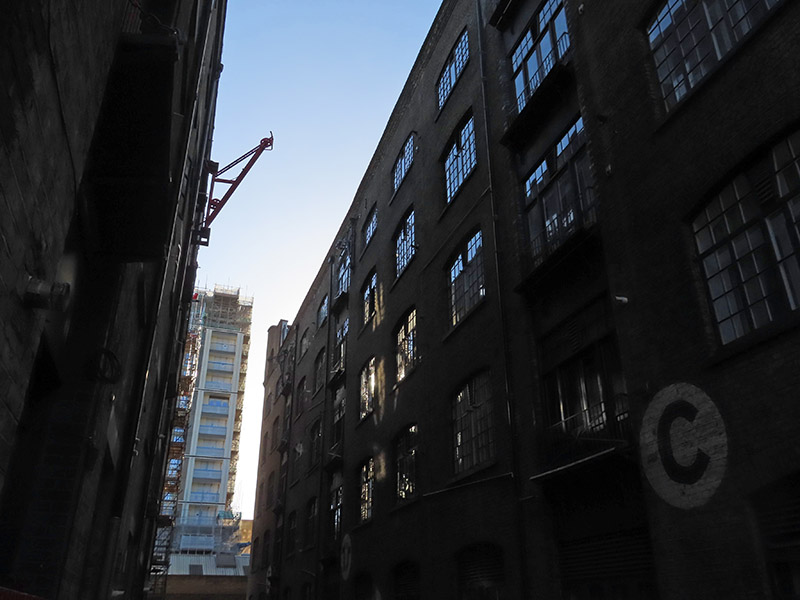
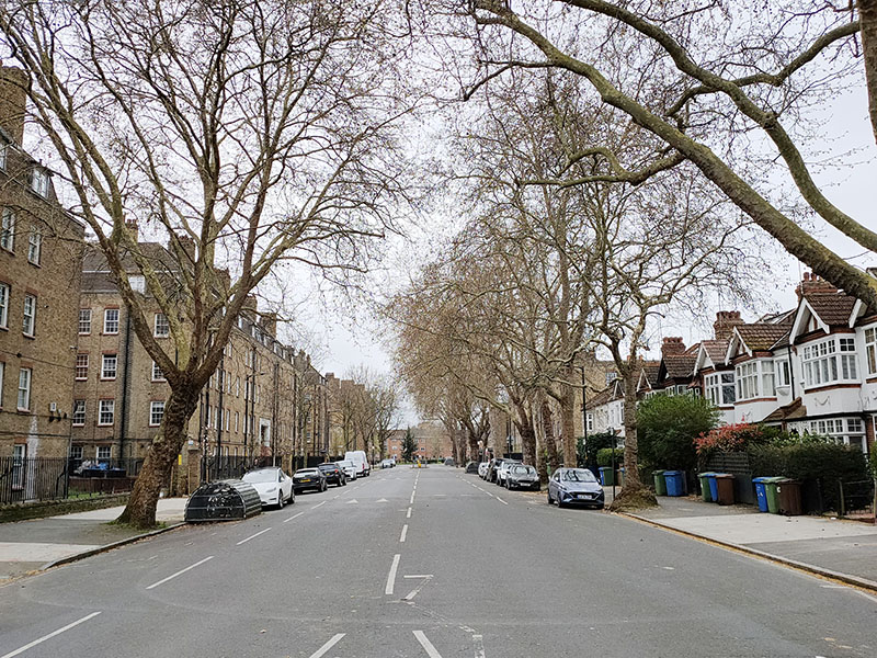
From Elephant and Castle tube we head a short way east on the New Kent Road the follow Elephant Road down to the Walworth Road. The railway arches here and further south and the Walworth Road itself are where all the activity in this area happens. Outside of that I hardly see another soul apart from a couple of dog-walkers and a cycling proficiency group until I get to Kennington Park.
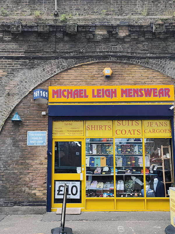
We make a right turn into Hampton Street then immediately continue to follow the rail line south on Spare Street and then Robert Dashwood Way. I can only surmise that the latter is named after one of the two holders of the Dashwood Baronetcy (which has its seat in West Wycombe, Buckinghamshire near to where I grew up) that were Roberts but I can find no connection between either of them and this part of London. The arches along these two access roads are pretty well occupied with a variety of enterprises, including this somewhat incongruous menswear outlet. (I was tempted to take a look as a change from TK Maxx but didn’t need any extra load to carry around with me).
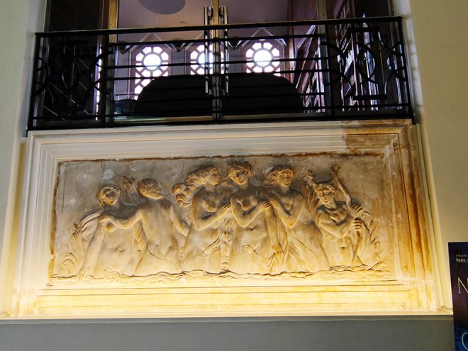
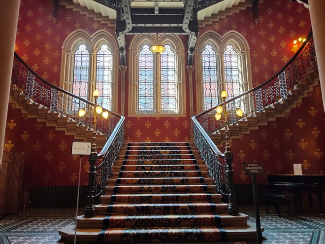
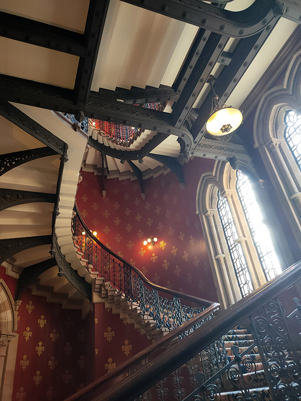
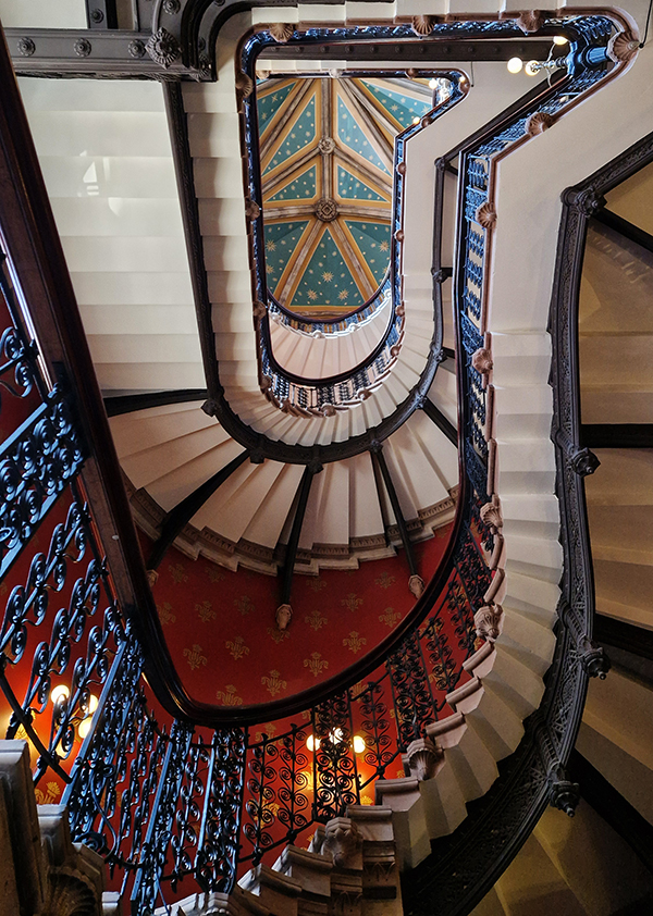
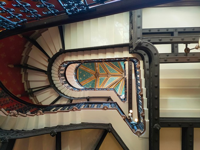
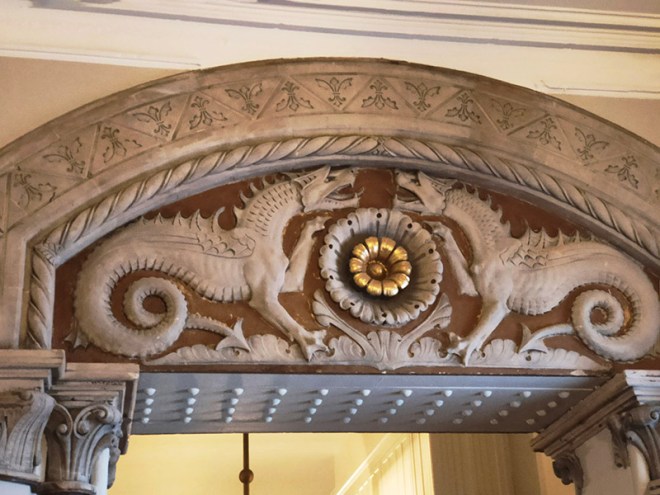
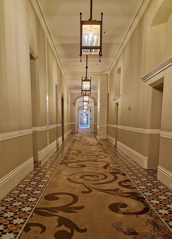
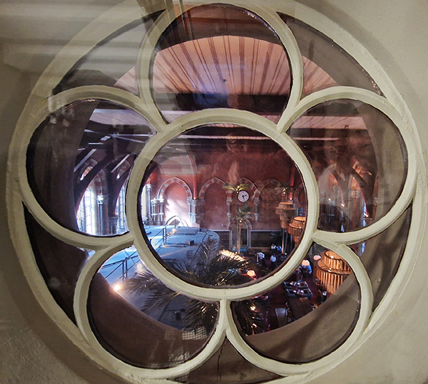
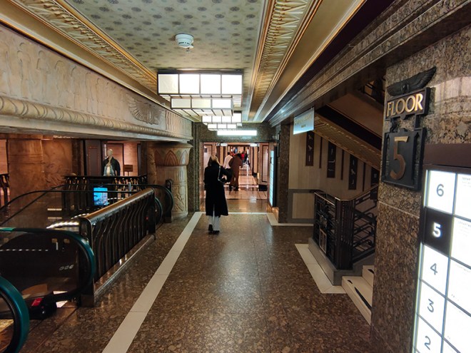
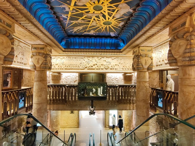
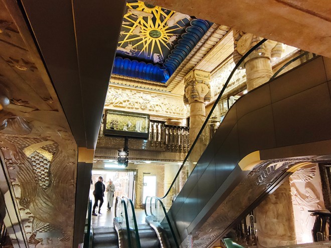
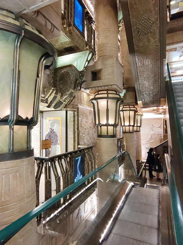
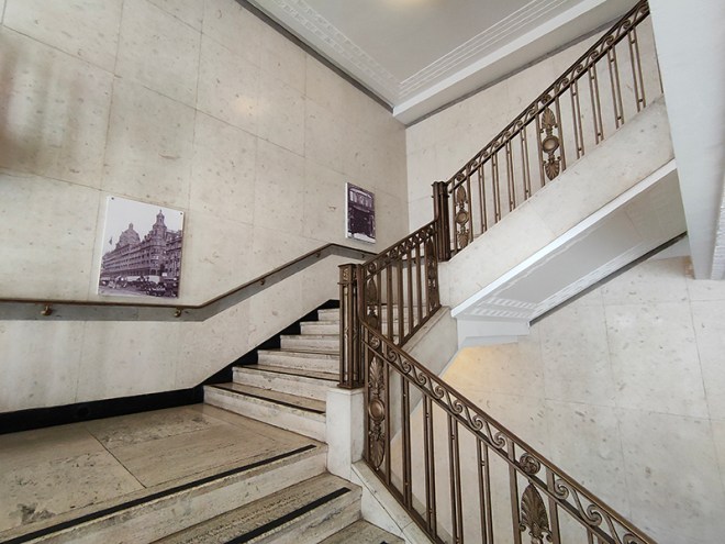
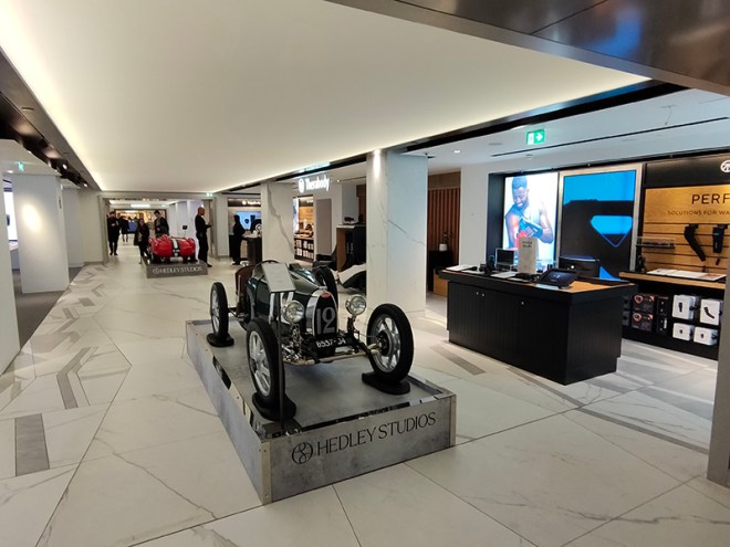
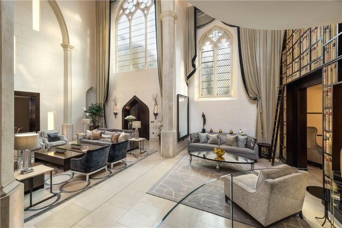
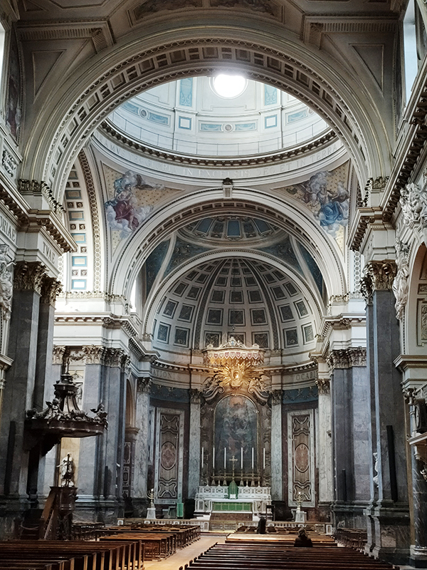
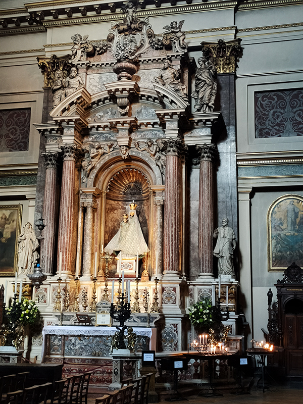
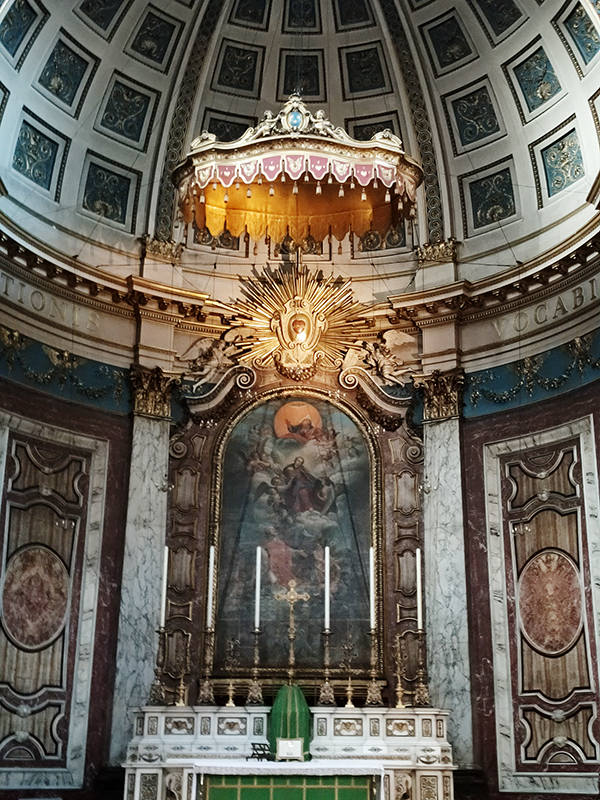
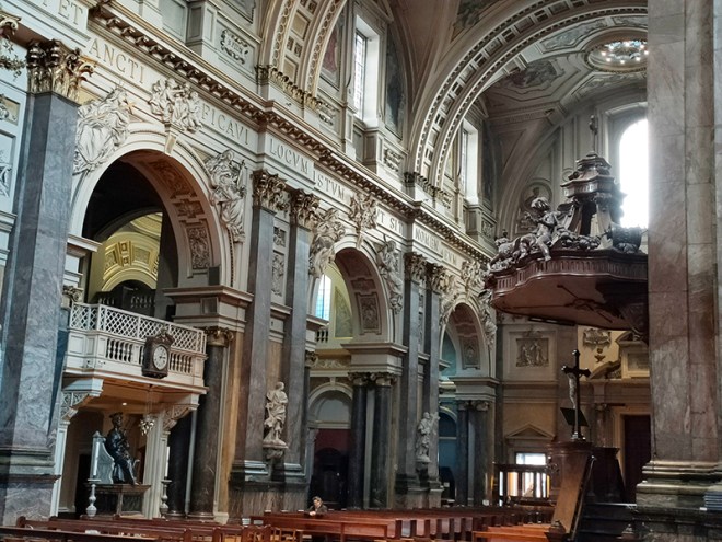
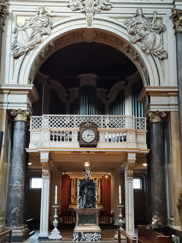
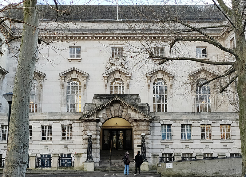
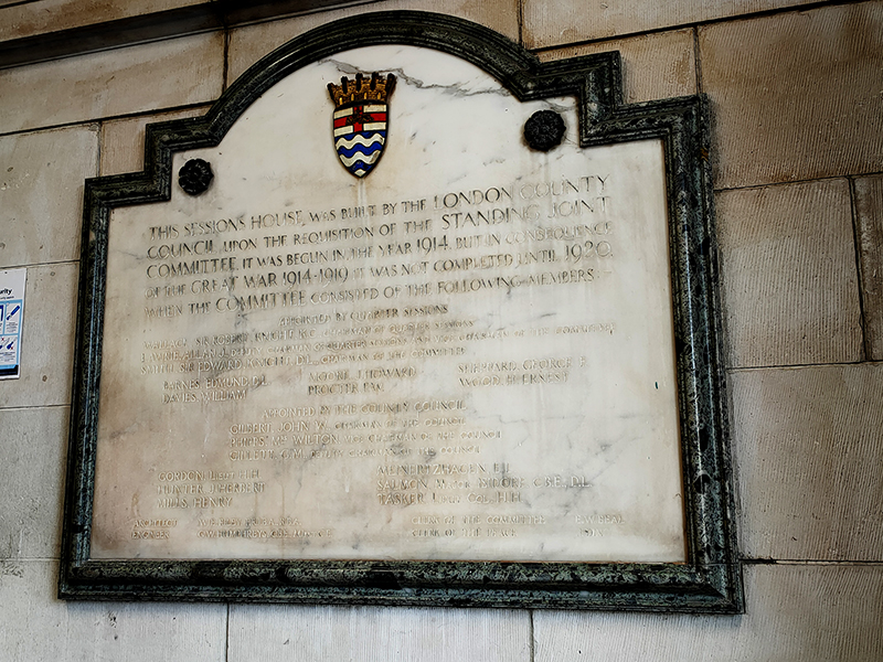
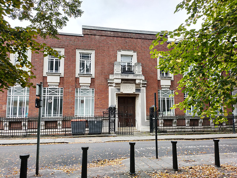
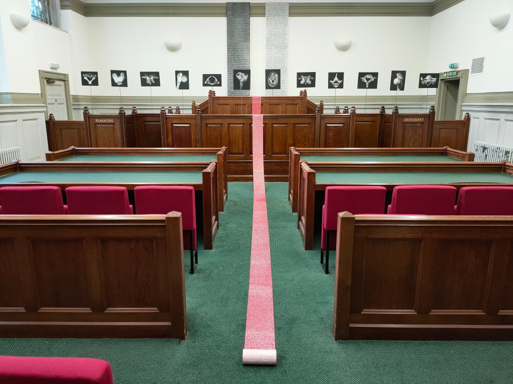
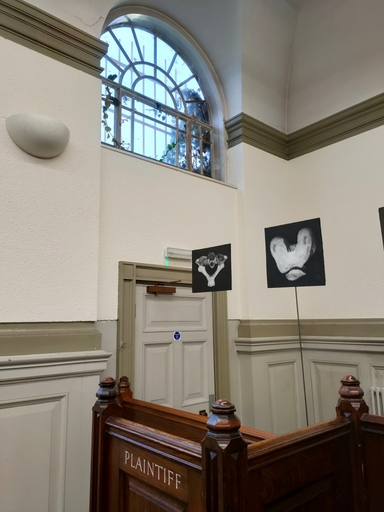
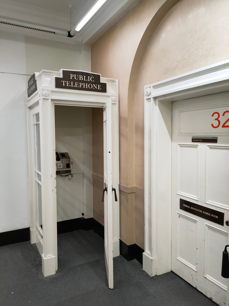
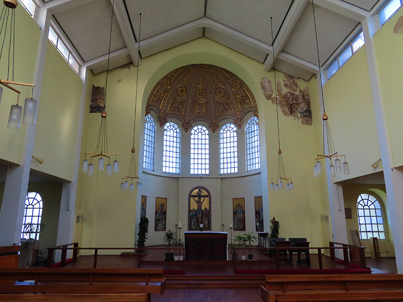
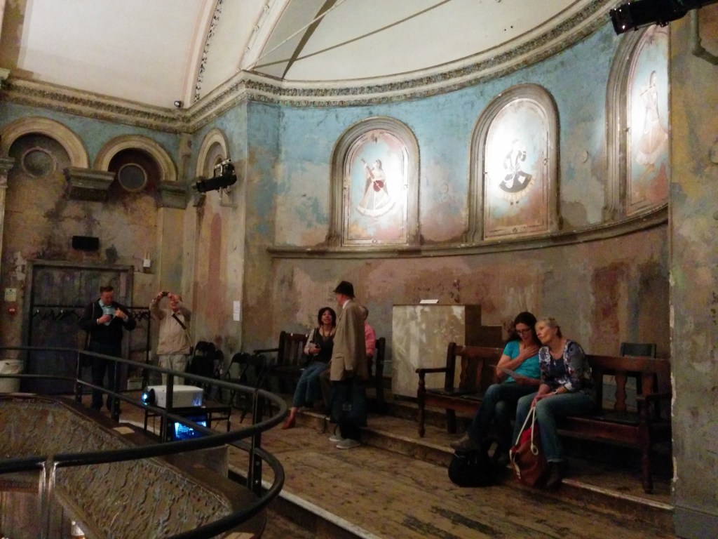
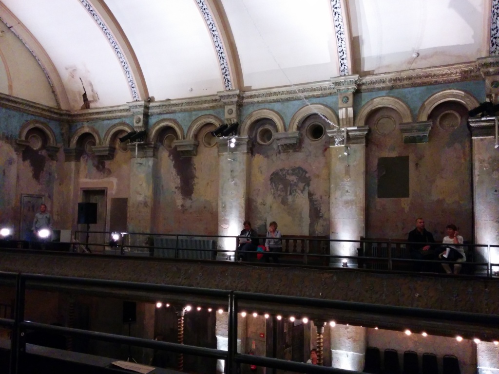
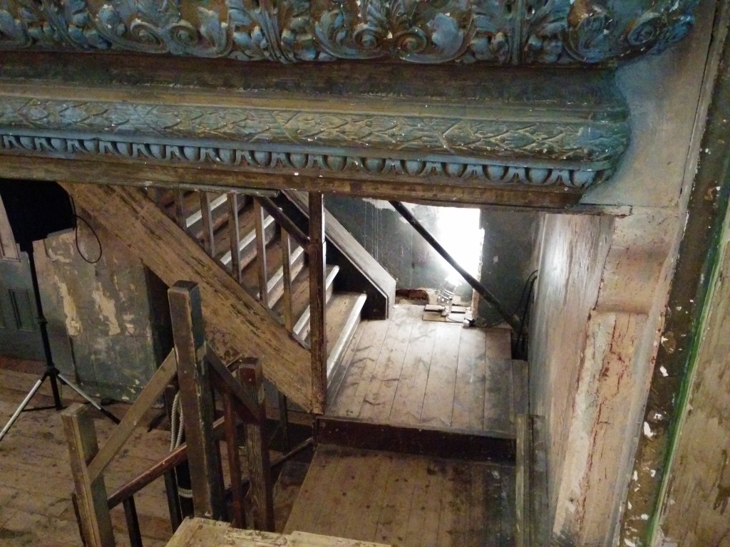
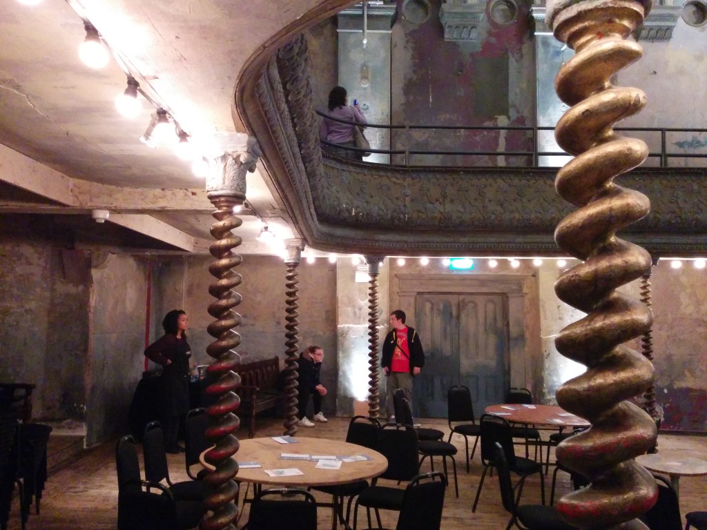
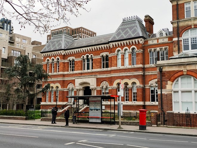
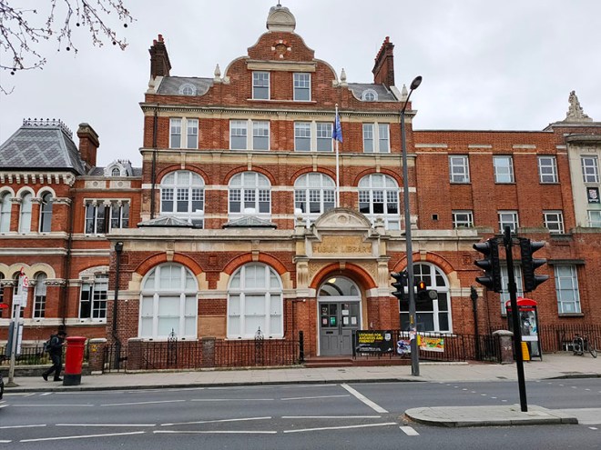
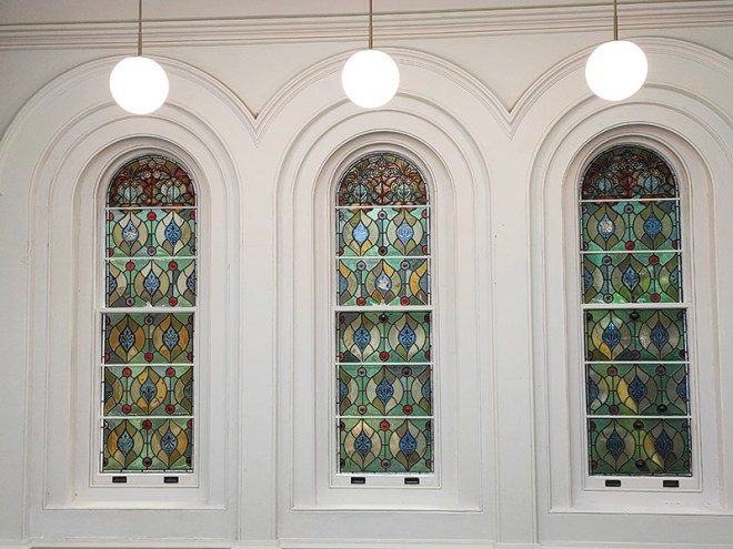
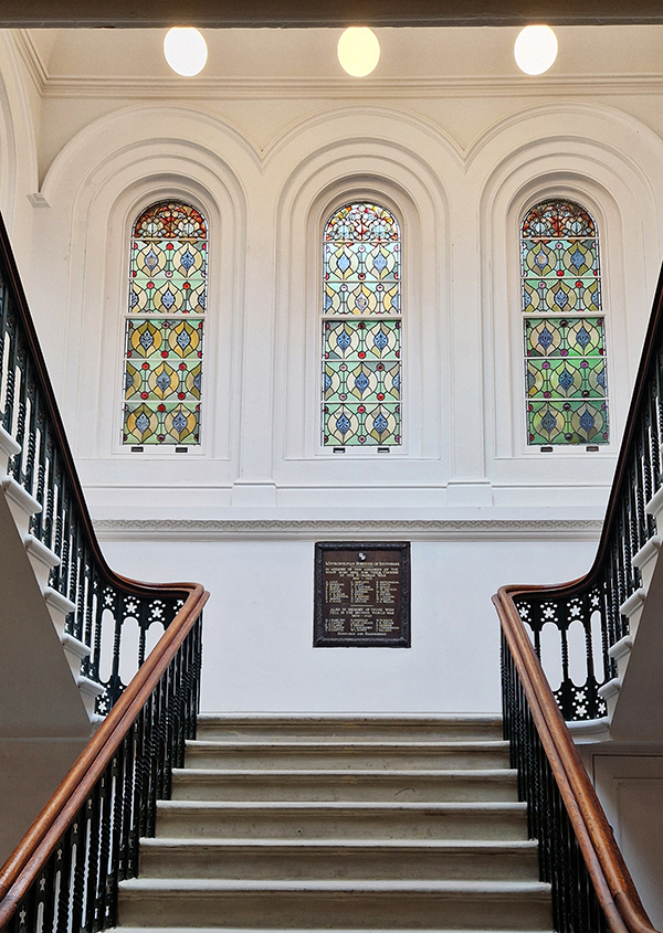
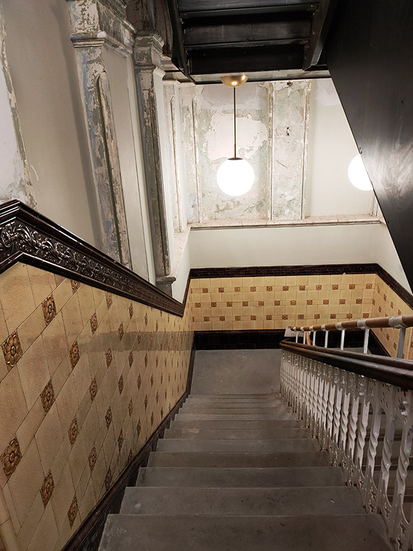
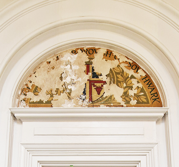
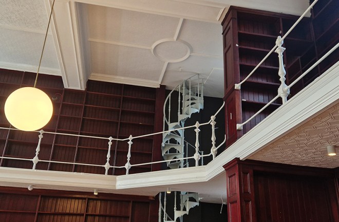
We return to the Walworth Road via Amelia Street and as we head back north temporarily we pass Walworth Town Hall which is over on the east side of the road. Originally named Newington Vestry Hall, it was built on land previously owned by the Worshipful Company of Fishmongers. Opened in 1865, it was designed by Henry Jarvis in the Italianate style, built by Piper and Wheeler and financed by a loan from Edward Chambers Nicholson, a wealthy local chemist. When Newington became part of the Metropolitan Borough of Southwark in 1900 the building served as Southwark Town Hall. It ceased to be a headquarters of local government in 1965 when the London Borough of Southwark was created. It was subsequently used as workspace by the council, becoming known as “Walworth Town Hall”, and was also used as the local registrar’s office. The roof of the building was badly damaged by a fire in March 2013 and the building was subsequently added to the Heritage at Risk Register. In 2018, architects Feix & Merlin were appointed to restore the Grade II listed building and the adjacent Newington Library and Cuming Museum and create office and coworking spaces tailored to small and medium-sized businesses with room for up to 550 occupants. In 2024 I took a tour of the building as the renovations were nearing completion (the photos of the interior of the building in the slideshow below date from then). To see what it looks like inside now go to https://architecturetoday.co.uk/walworth-town-hall-feix-and-merlin-general-projects/
Steedman Street takes us back to Hampton Street from where we follow Canterbury Place through the Newington Estate. In theory at least; in reality it’s more of a tortuous ramble that delivers us onto Penton Place.
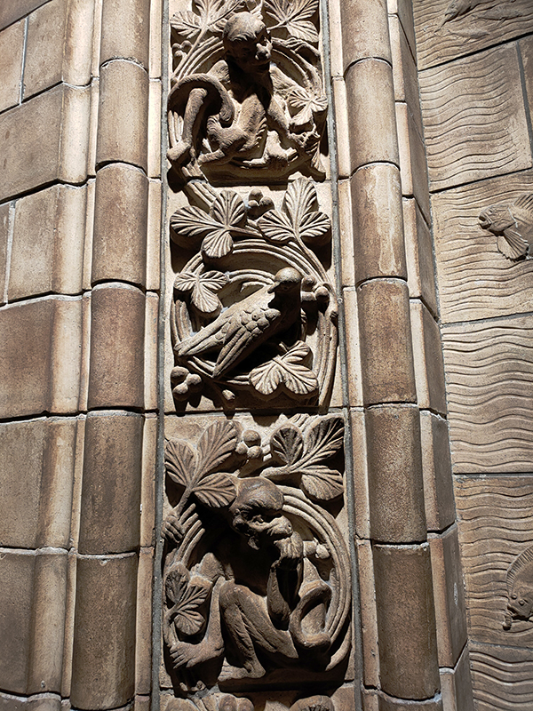
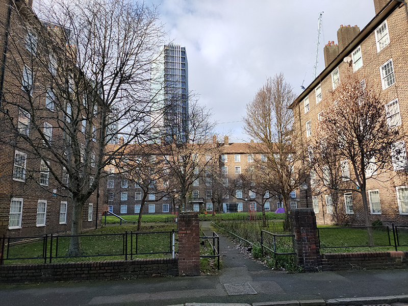
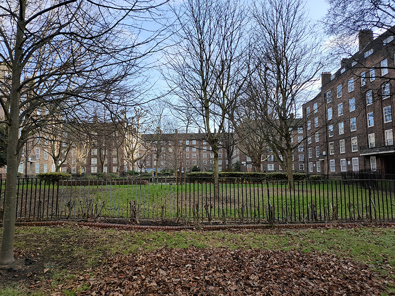
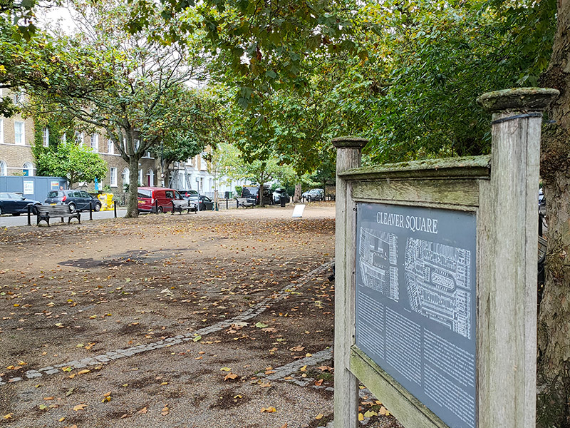
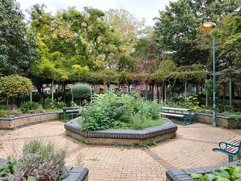
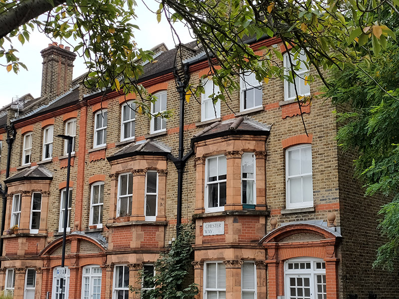
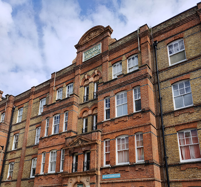
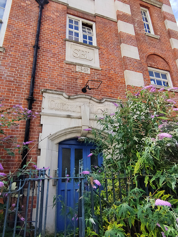
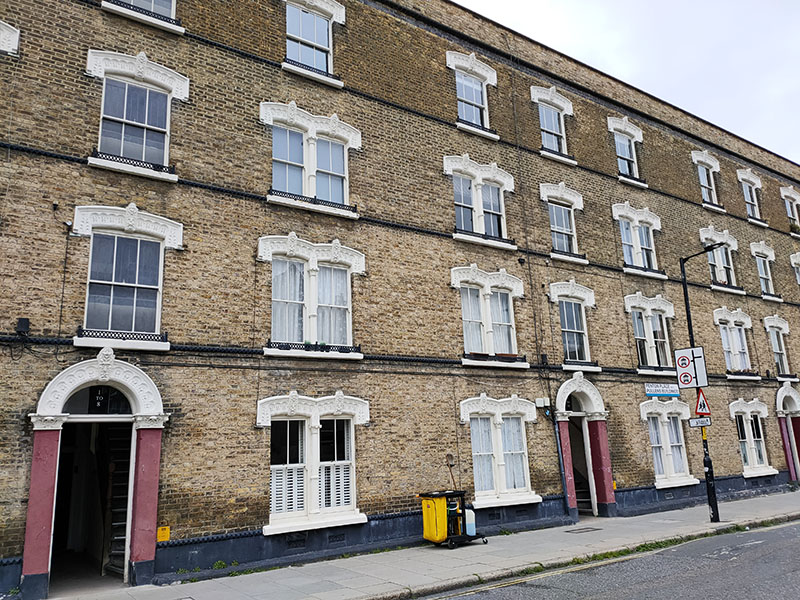
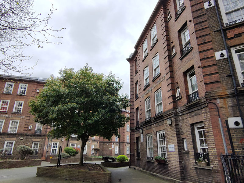
The Pullens Buildings, located on Penton Place and some of its adjoining streets are some of the last Victorian tenement buildings surviving in London. The Pullens Estate was built by James Pullen, a local builder, who acquired the land and developed it over a 15-year period from 1886. Unlike any thing else I’ve encountered on my travels, the four-storey residential buildings are faced with yellow stock brick and enriched with the use of decorative terracotta arches to the door and window openings. The full estate originally comprised 684 dwellings in 12 blocks but a V1 bomber reduced that number and post-WWII many of the remaining properties fell into disrepair. In the 1970s, the council planned to demolish the buildings but were thwarted by an alliance of the Pullens Squatter Organisation and the Residents’ Association which fought successfully to save them with a campaign of direct action and solidarity which culminated in the construction of barricades to stop police and bailiffs entering the buildings. Today around half of the remaining 351 flats in the buildings are local authority-owned with the rest in private leasehold ownership.
We turn off Penton Place onto Iliffe Street, where supermodel Naomi Campbell once lived, according to one source, and look in on Peacock Street before alighting onto Crampton Street.
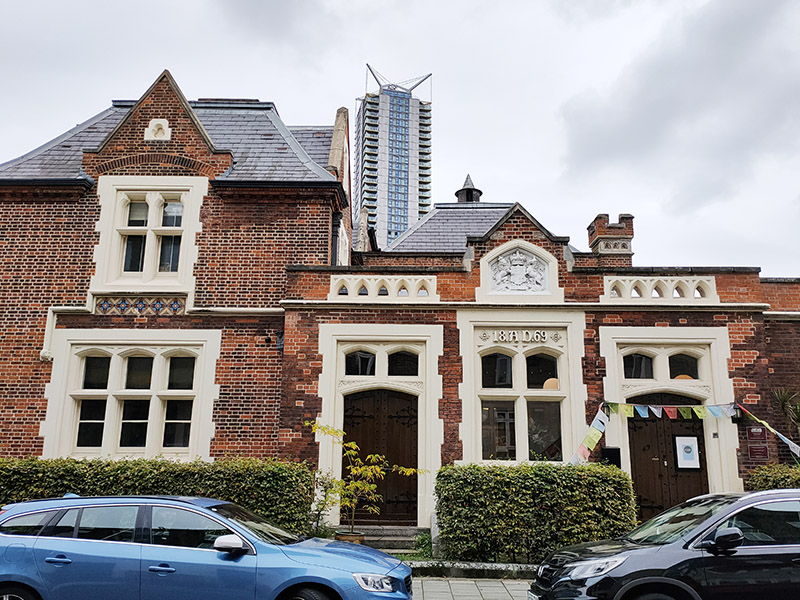
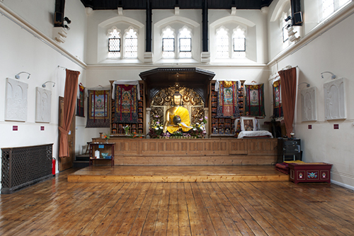
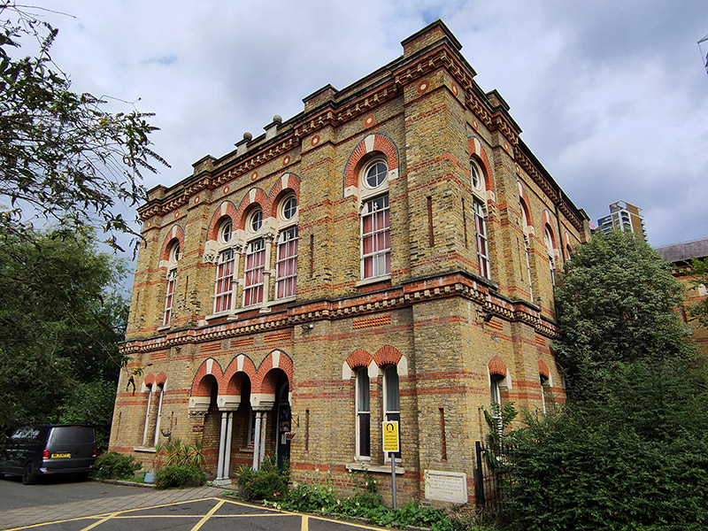
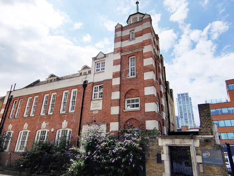
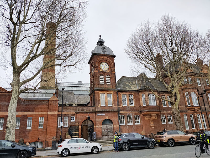
Having circumnavigated Pullens Gardens by way of Amelia Street and Thrush Street we continue south on Crampton Street to Manor Place. Directly facing us is Manor Place Baths, a Grade II listed former public baths, swimming pool and boxing venue built in 1895 to a red brick and terracotta design by the company of Edward I’Anson (who was responsible for the Royal Exchange Buildings in the City of London). The baths originally had a first- and second-class pool for men, as well as a pool for women known as the “small swim”. Mixed-gender swimming was introduced in 1904. The first-class pool was 120 ft long and boarded over in winter so that the space could be used for sporting events, concerts and other public meetings. Boxing at the baths started in 1908 and boxers who fought bouts there included the Kray twins as well as Ken Buchanan, Henry Cooper and Terry Spinks. The building survived the bombs of WWII but fell into later disuse as a public baths as apartments in the area began to have bathrooms installed. The baths closed as a public facility in 1976 but continued as a boxing venue until a final show in 1978. By 1995 it was in a dangerously poor condition with no viable use. In 1996 it was Grade II-listed and placed on the Buildings at Risk Register by English Heritage. The building was used by Southwark London Borough Council as offices until 2005, when Tibetan Buddhist organisation Kagyu Samye Dzong London obtained an initial five-year lease to use the building as a temporary home. They renovated the building and used it as a meditation centre with regular classes and retreats until 2015 by which time it had been purchased by Notting Hill Housing to be converted into residential accommodation and commercial space.
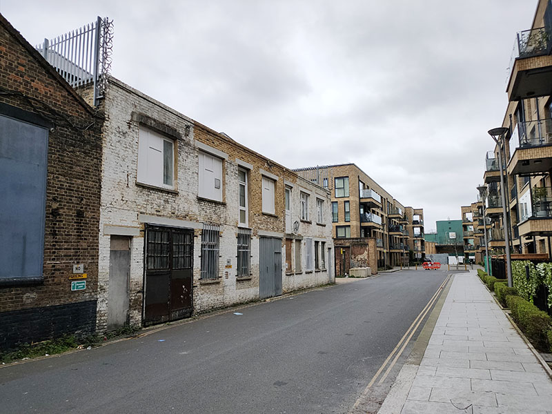
As we head east back to Walworth Road we make a detour onto Occupation Road which retains some signs of the area’s industrial past alongside contemporary residential development.
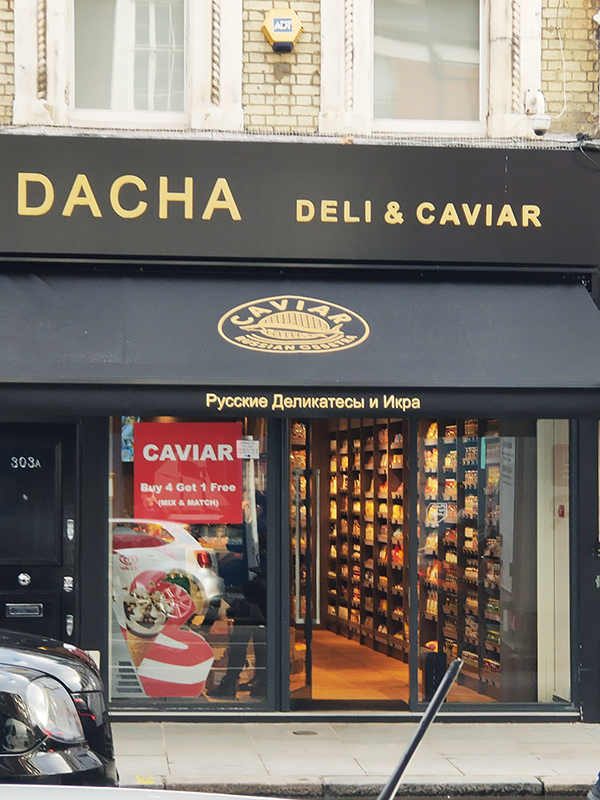
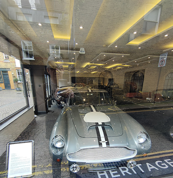
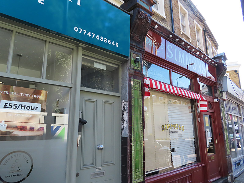
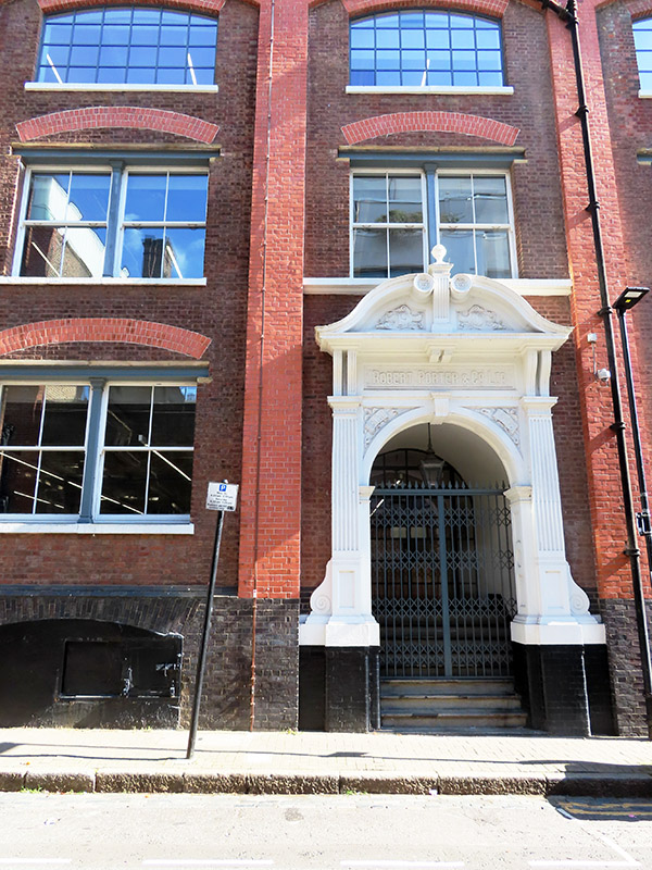
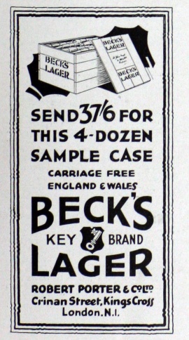
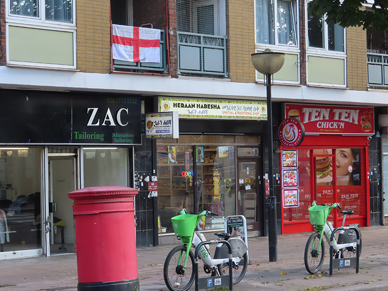
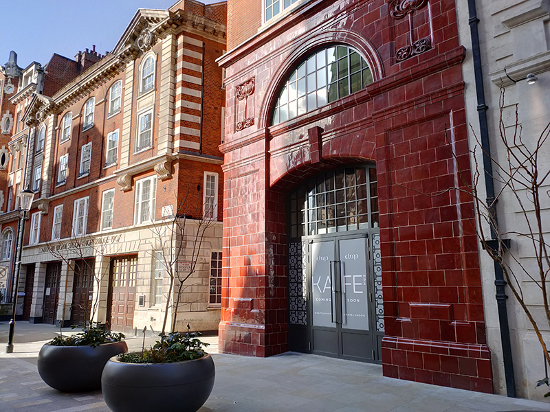
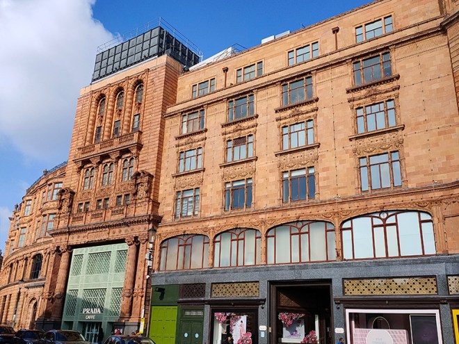
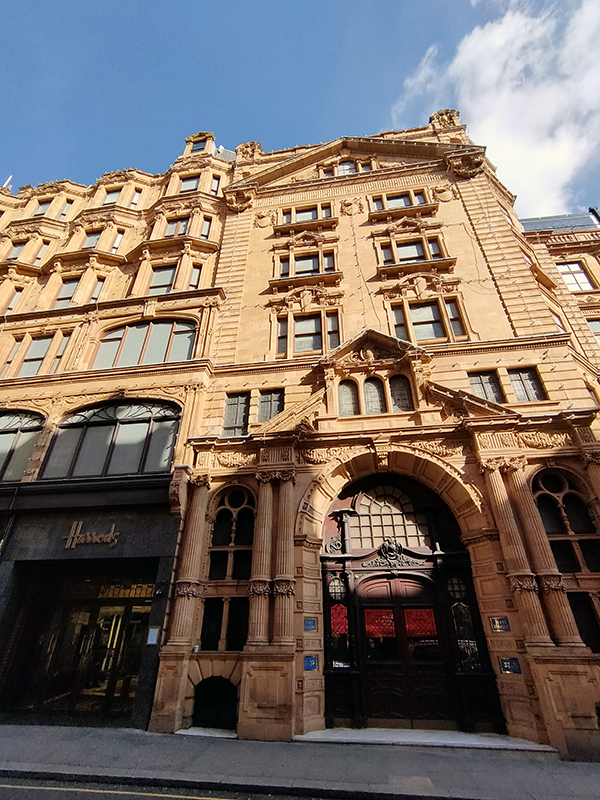
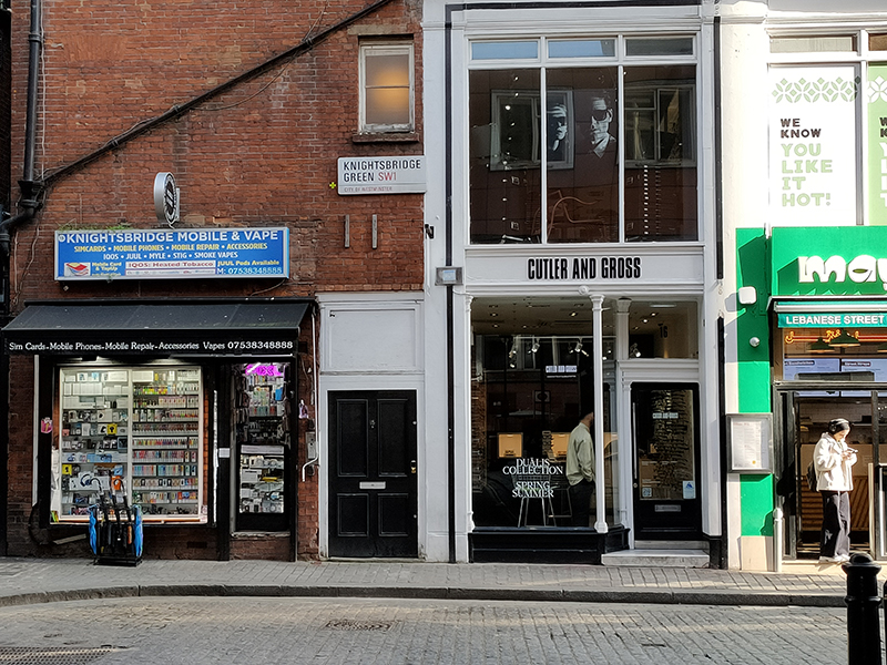
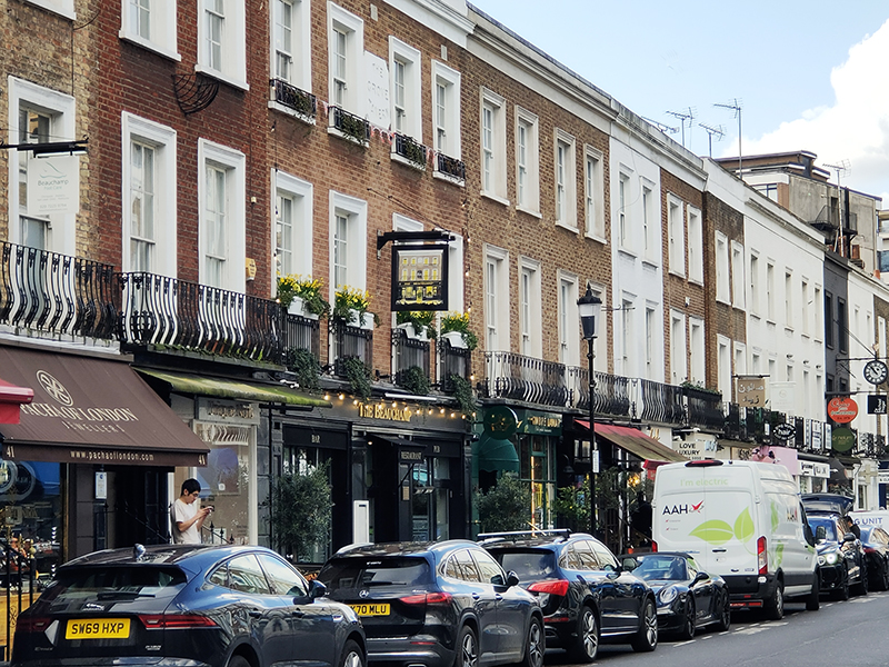
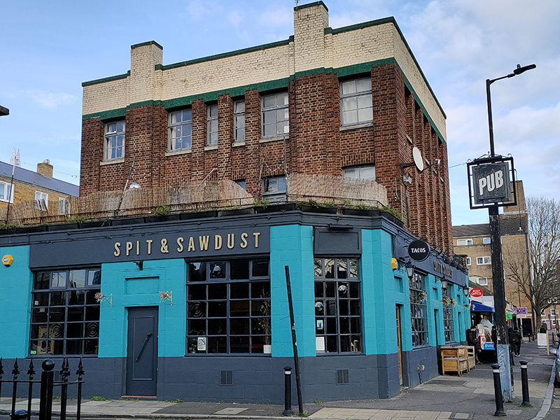
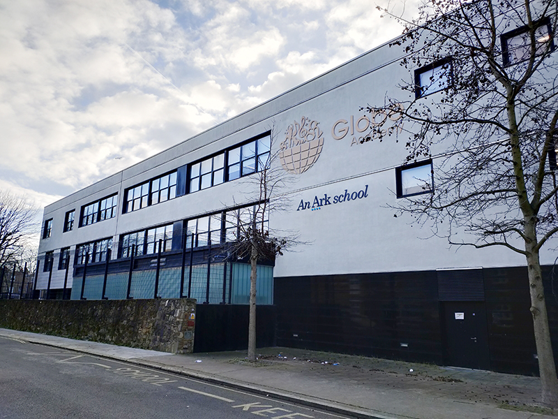
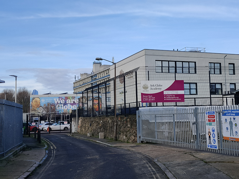
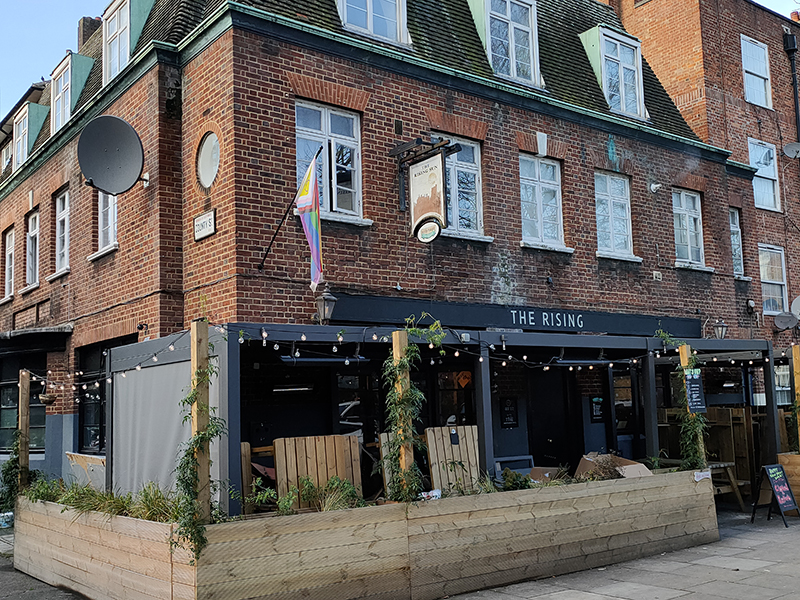
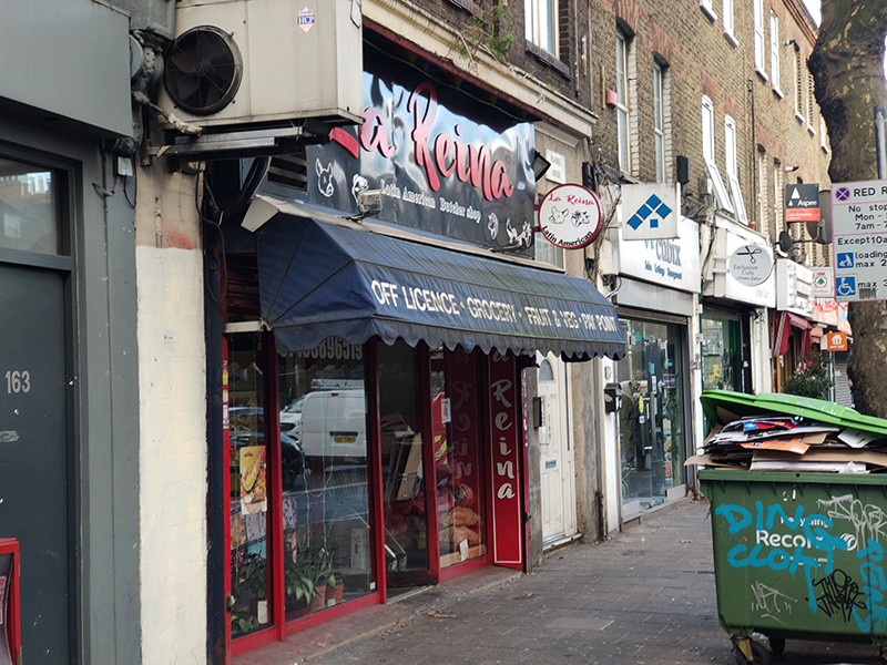
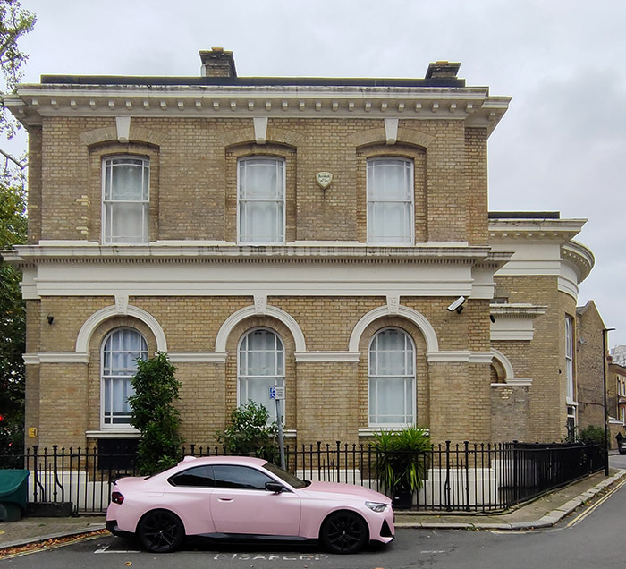
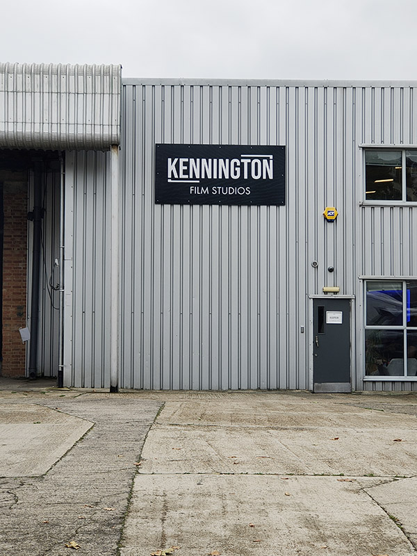
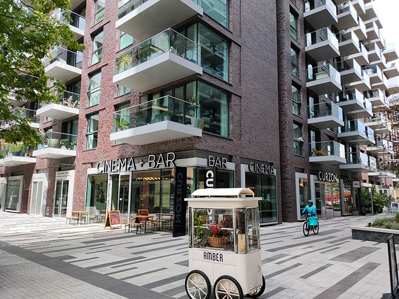
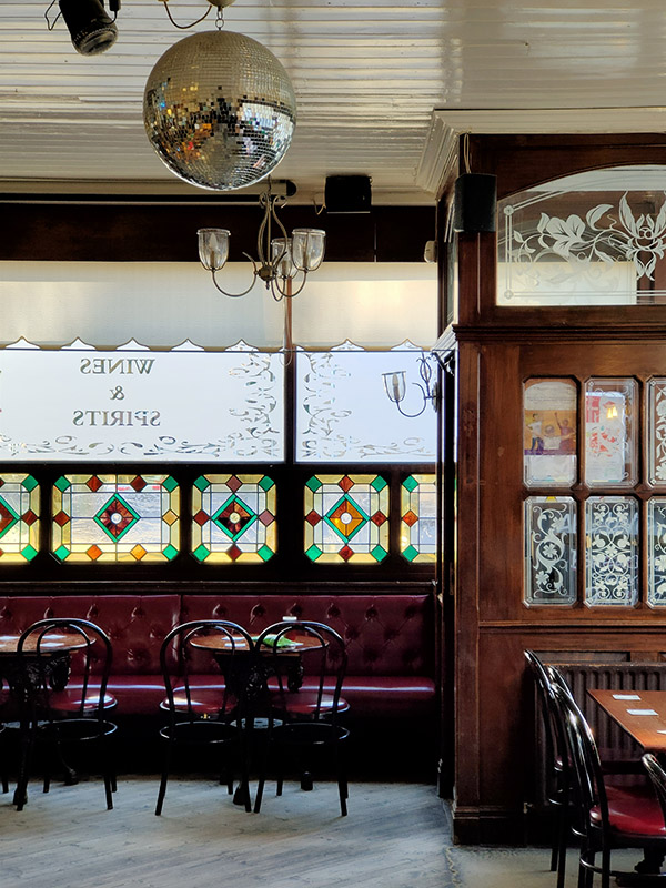
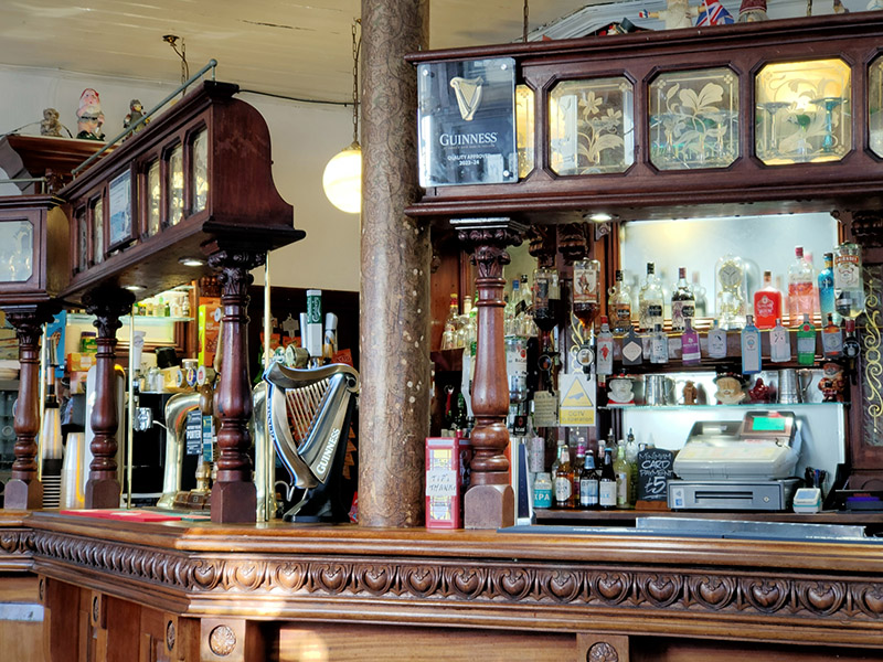
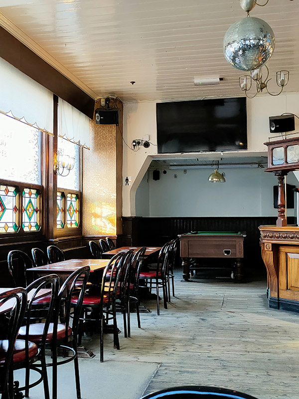
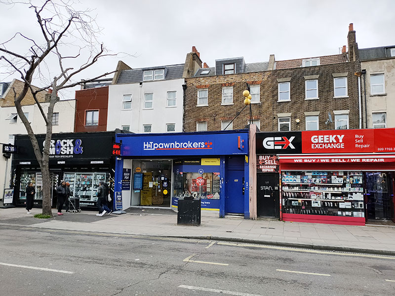
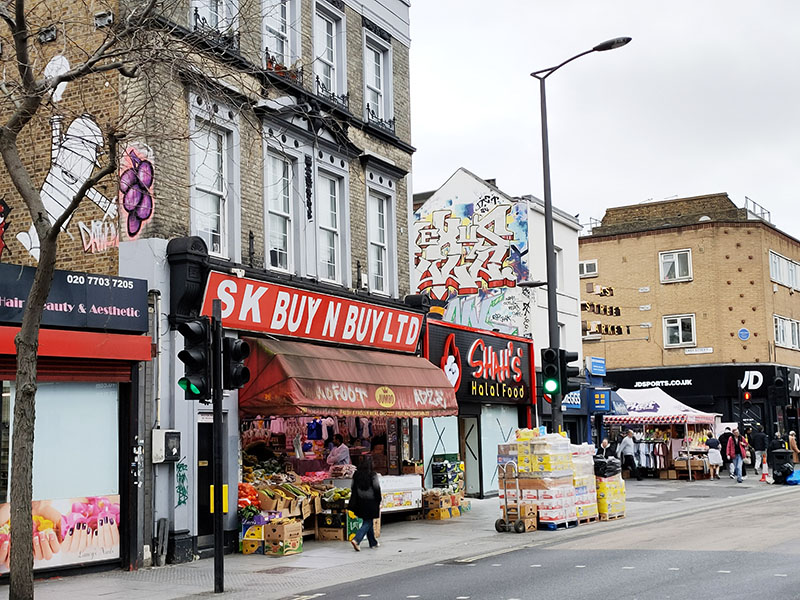
Back on Walworth Road we’re faced with two very 21st century establishments sandwiching one which harks back almost to the 19th.
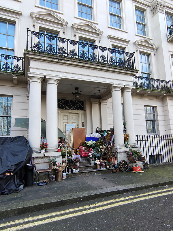
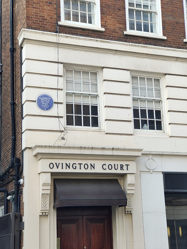
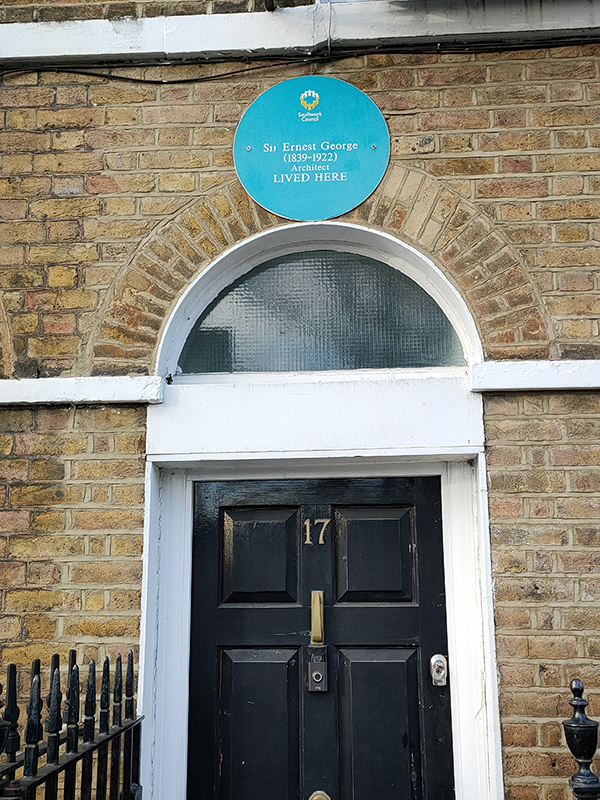
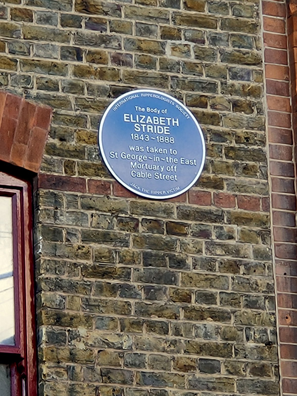
A little way further down the street is the entrance to the East Street Market which is a treat we’ll save for another day. On the far right of the picture you can just about see the plaque I mentioned at the outset. It doesn’t relate to any specific building but just notes that Charlie Chaplin was a local Walworth boy. (Spent part of his childhood in the Pullens Buildings in fact).
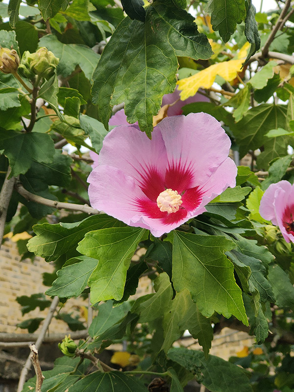
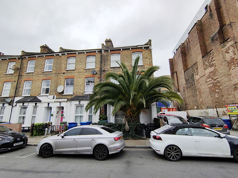
Making our way west again on Penrose Street we pass by Angel Place and then under the railway once more. Just on the other side of the tracks someone’s taken the idea of bringing a bit of the tropics to their front garden to something of an extreme..
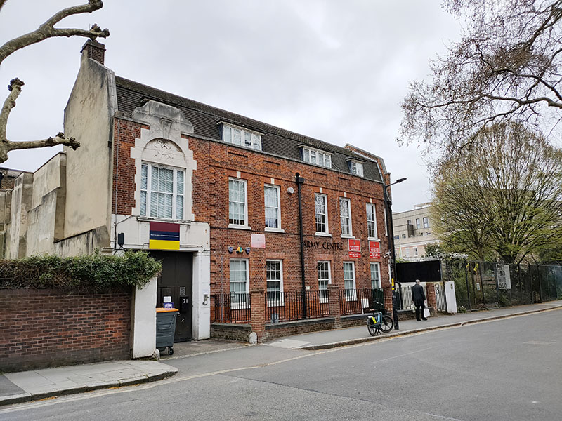
Next up a right turn onto Penton Place once more from where we head north as far as Berryfield Road then follow this, Tarver Road and Delverton Road down to Braganza Street. The Braganza Street Drill Hall originates from a pair of houses built in what was then known as New Street in 1833 and which were acquired by the 19th Surrey Rifle Volunteer Corps in 1865. The street was renamed in the 1930’s and the drill hall was substantially re-built at that time and the enlarged facility opened by the Duke of Gloucester in 1938. 217 (London) General Hospital Royal Army Medical Corps, was formed here in 1967 and a Medical Regiment continues to use the building to this day.
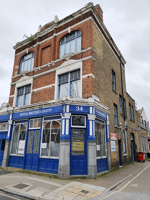
On the corner of Braganza Street and Gaza Street there is a British Legion Club (which is only open 4 nights a week). It would be interesting to know when and why this small side street came to be named Gaza Street but sadly that information is lost in the mists of time.
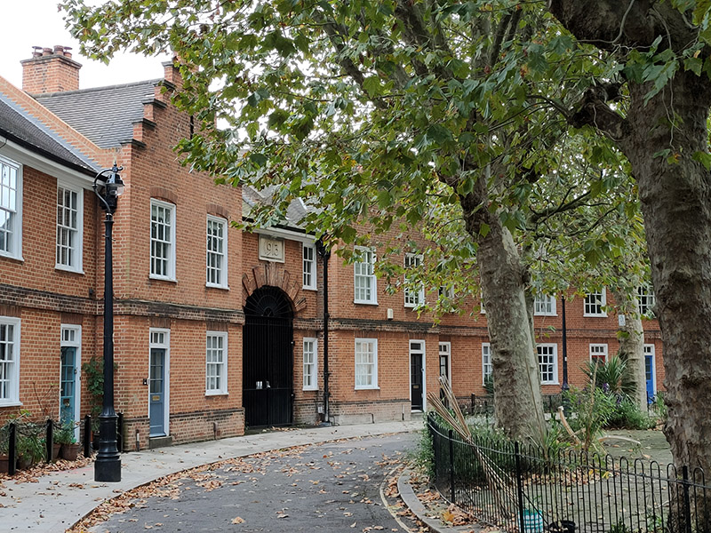
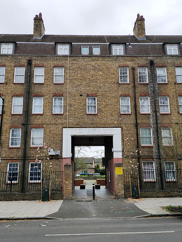
We return to Penton Place for the final time via Alberta Street and Ambergate Street then turn left to reach Kennington Park Road. Proceeding southward we pass the Guinness Trust Buildings. The Guinness Partnership, as it is now known, is one of the largest providers of affordable housing in England. It was founded in 1890 as a charitable trust by the then Edward Cecil Guinness, a great-grandson of the founder of the Guinness Brewery, to help homeless people in London and Dublin. The buildings here on Kennington Park Road were originally conceived by the architect Charles Joseph in 1913 but first, strike action in the building industry, then WWI delayed construction until 1921. This was Guinness’s first development built with the support of government funding. The original plans proposed the usual pre-war architecture for 160 tenements, but new public demand for self-contained, cottage-style housing and separate bathrooms prompted a change in design and a reduction in height to height to four storeys. This meant that whilst earlier estates had been built for between £79 and £169 per tenement, Kennington Park Road cost £807 per unit (without the cost of the land).
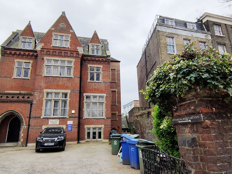
A little way further down Kennington Park Road is the home of The Historical Association, a registered charity founded in 1906 by a small group of history teachers and academic historians to support the growing need for good history resources in schools. Today the mission is to “support the teaching, learning and enjoyment of history at all levels and bring together people who share an interest in and love for the past”. (Good stuff – perhaps I should sign up).
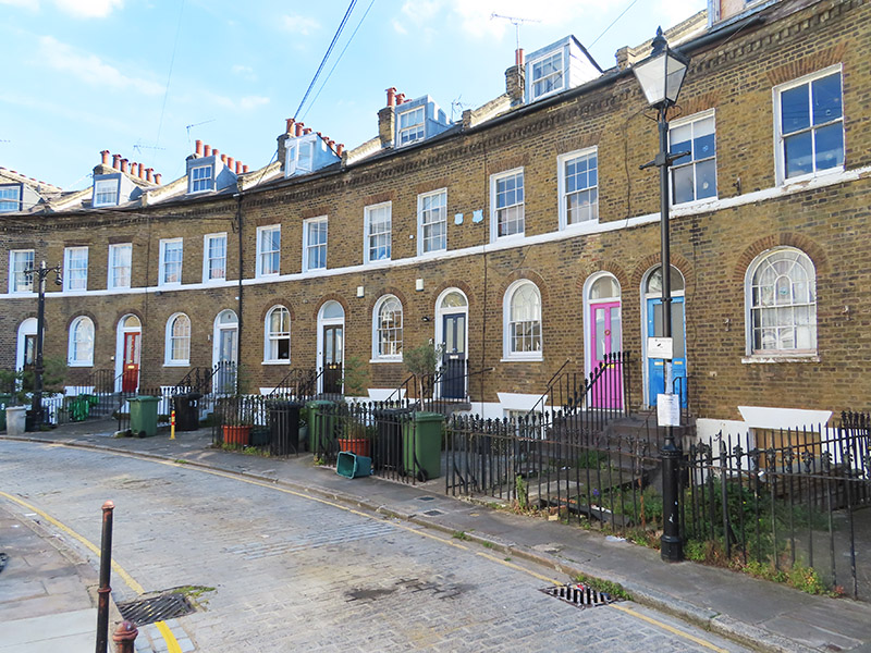
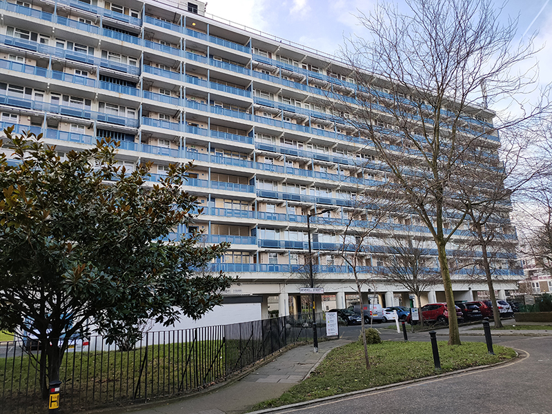
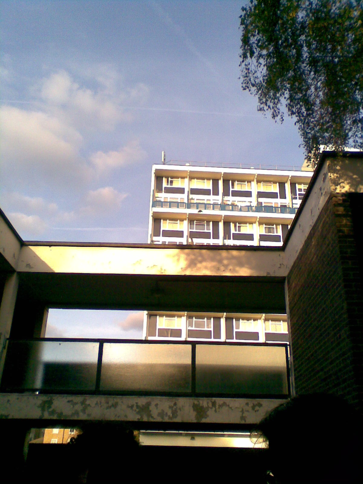
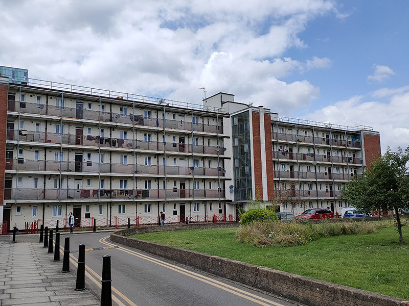
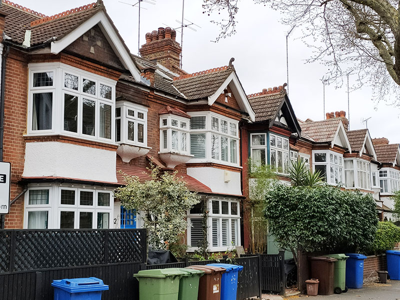
Just beyond Kennington tube we turn back on the Braganza Street and almost immediately resume in a southerly direction on De Laune Street (named after a prominent Huguenot family who came to London in 1572 to escape religious persecution in France). Sharsted Street, Harmsworth Street and Faunce Street take us to Doddington Grove which comes as something of a surprise. The most remarkable thing about this street is its width. Only on a couple of other occasions have we encountered a street this wide; with on-street parking on both sides and two clear lanes in the middle. The other strange thing about the street is the overwhelming contrast between its two sides. The west side consists of a row of late Victorian terrace houses that look like they’ve somehow been transported here from Pinner while the east side is dominated by the monolithic blocks of the Doddington Grove Estate.
From the northern end of Doddington Grove we double back by way of Chapter Road, Westcott Road and Cooks Road to arrive on Kennington Park Place which (naturally enough) runs alongside the top of Kennington Park.
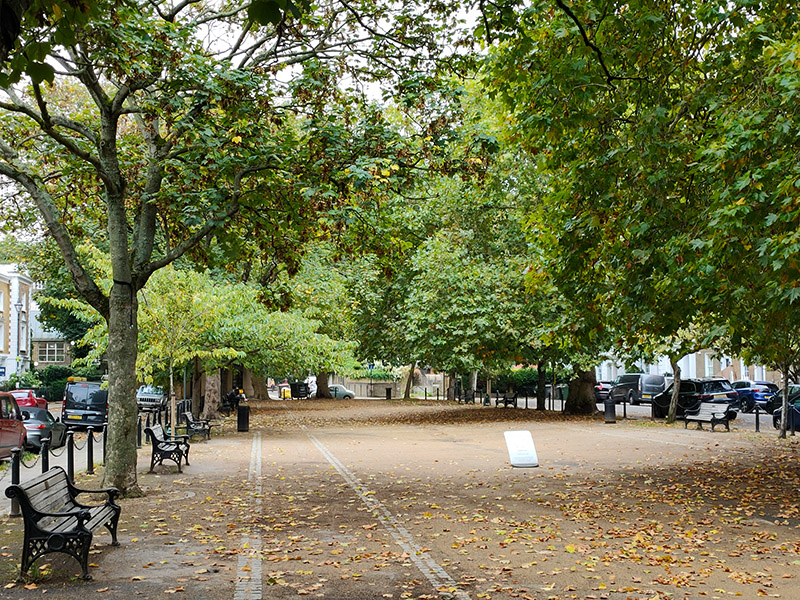
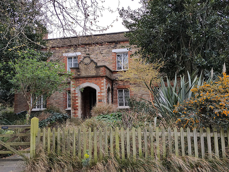
Kennington Park was the first open space in Lambeth to be dedicated for public use, opening in 1854. Prior to that it was known as Kennington Common and was indirectly owned by the Duchy of Cornwall. In April 1848, 25,000 supporters of the Chartist Movement assembled on the common to press their demands for a ‘National Charter’ of rights for the working classes. The Park contains the Prince Consort’s Lodge which was originally built for the Great Exhibition of 1851 in Hyde Park as a ‘model dwelling’ and was re-erected here after the end of the Exhibition.
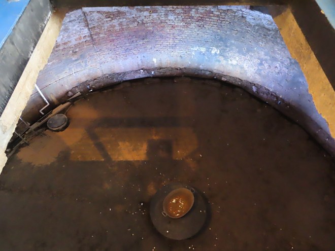
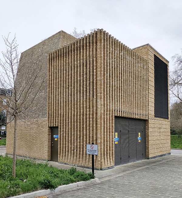
The north east corner of the park is home to one of the two ventilation shafts constructed for the Northern Line extension from Kennington to Battersea Power Station. The shaft is obviously underground but requires a structure on the surface, known as a head house, to provide access and to house ventilation fans and other equipment.
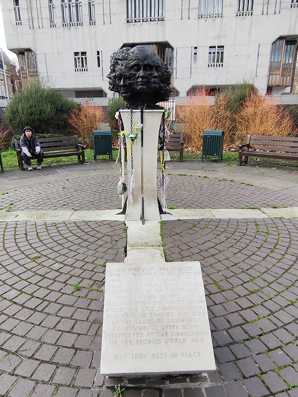
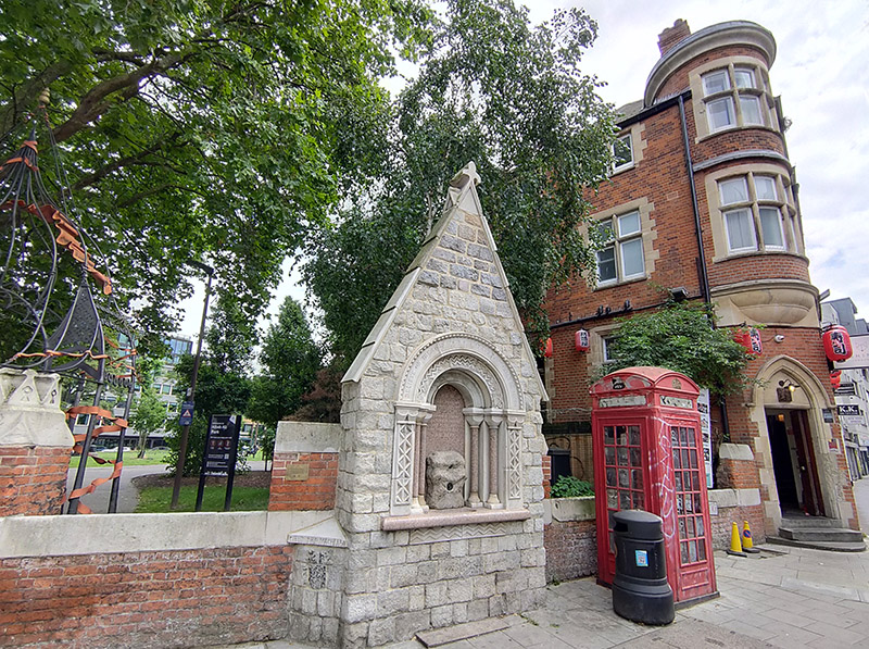
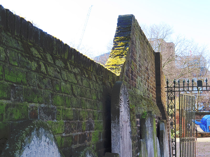
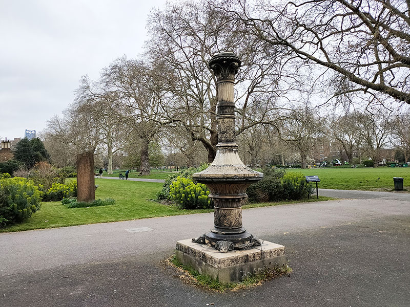
This pillar is all that remains of the Tinworth Fountain a large ornamental fountain created in 1872. The pillar originally supported a fountain bowl, a taller, slimmer column and a sculpture, The Pilgrimage of Life, the work of George Tinworth, the resident sculptor at Doulton’s Lambeth factory. The sculpture showed a man carrying a cross with a woman and child. The fountain was damaged irreparably during the Blitz while the sculpture survived until 1981. On 15 October 1940, a German bomb hit a crowded air raid shelter in the park, causing one of the worst civilian disasters in Lambeth during WWII. Roughly 104 people were killed when the underground trench shelter collapsed. The memorial in the background above, unveiled in 2006, commemorates this tragedy.
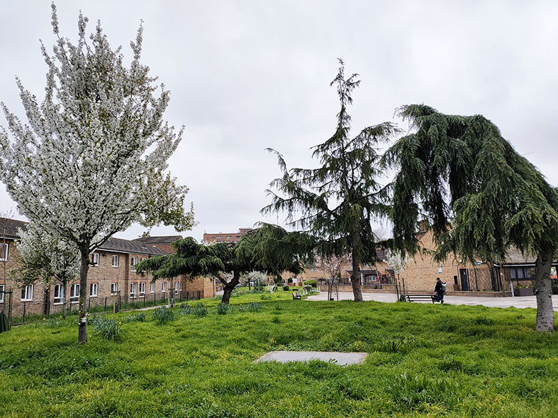
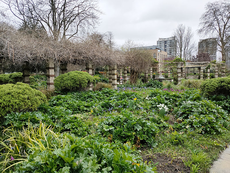
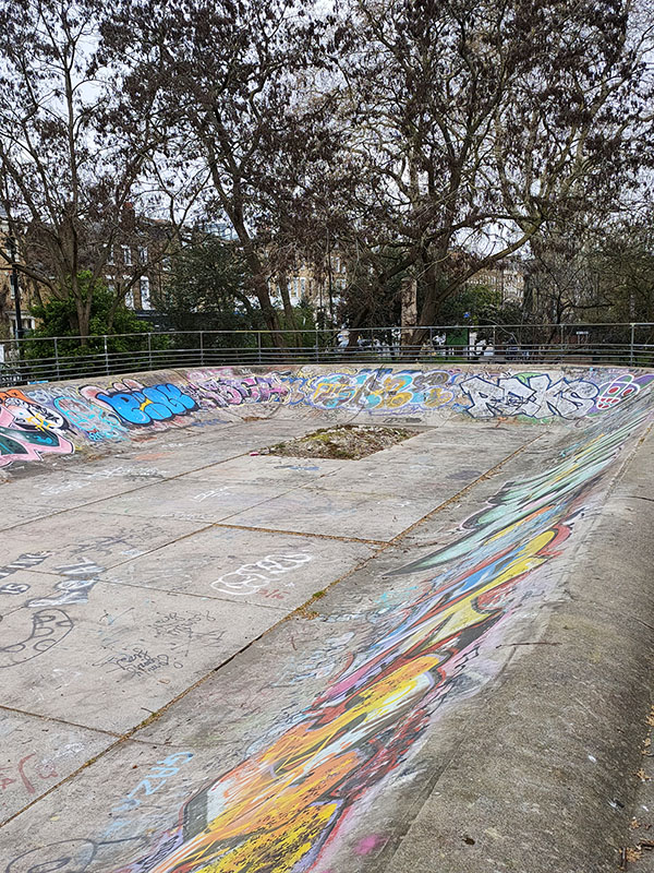
The flower garden at the southern of the park was originally opened in 1931. After falling into gradual disrepair in recent decades it was restored thanks to a grant from the Heritage Lottery Fund and reopened in 2015. Although we’re on the cusp of Spring there weren’t too many flowers in evidence yet, apart from a few tulips. Still, at least it’s in better shape than the skatepark.
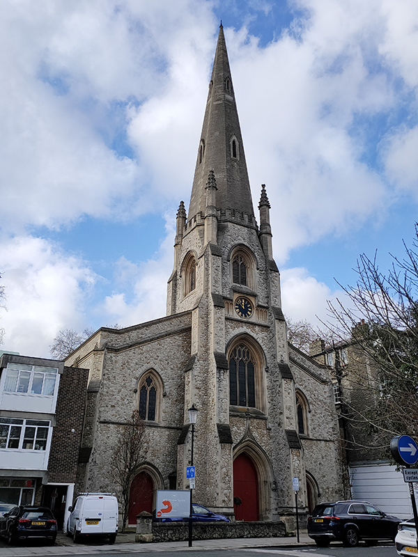
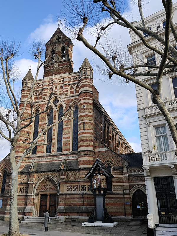
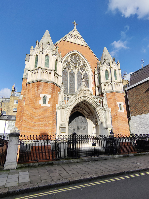
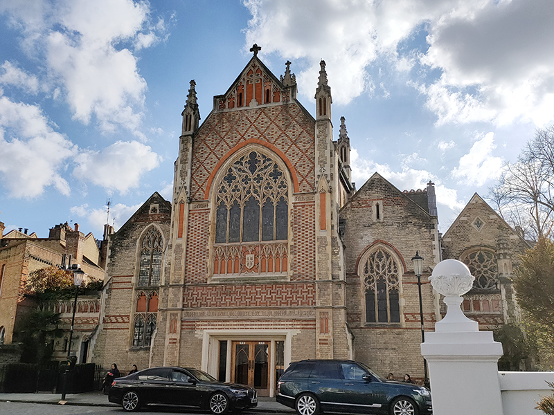
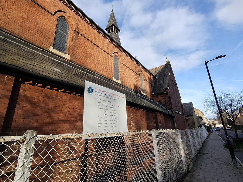
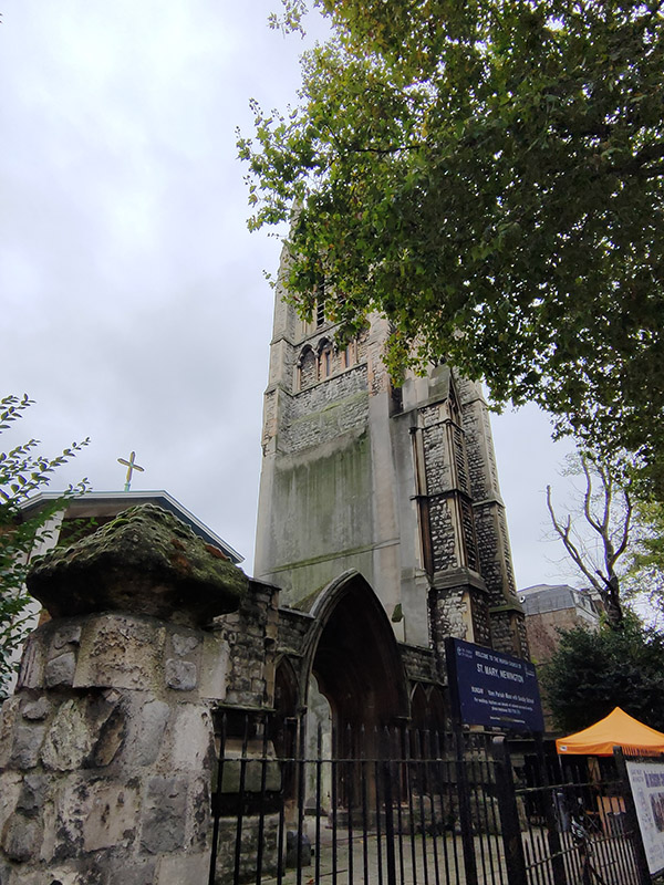
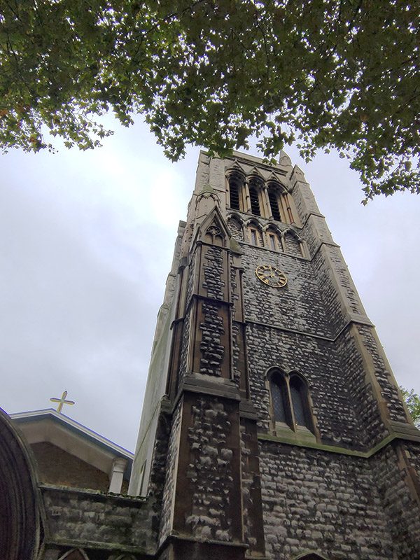
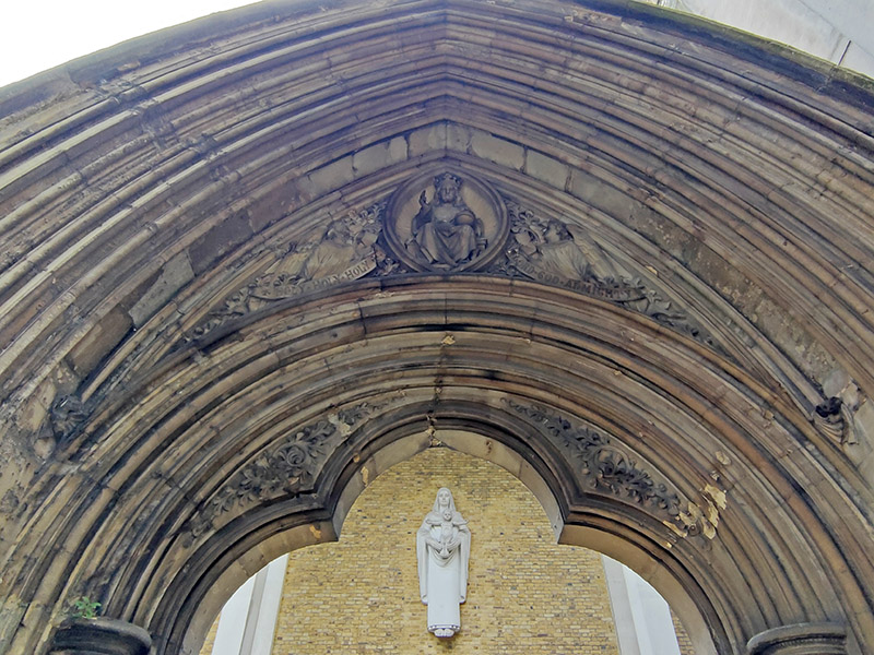
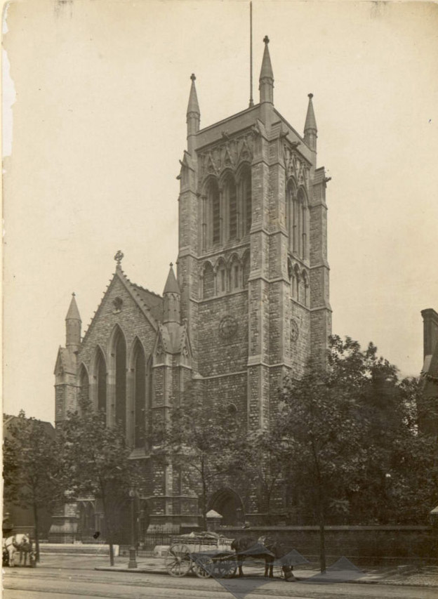
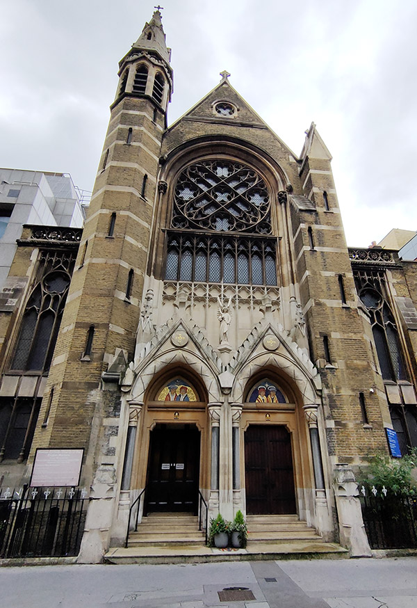
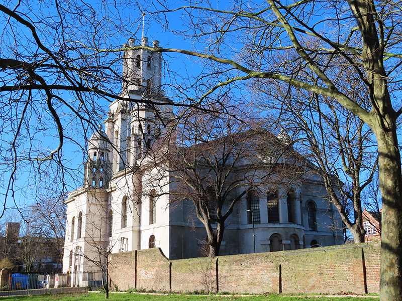
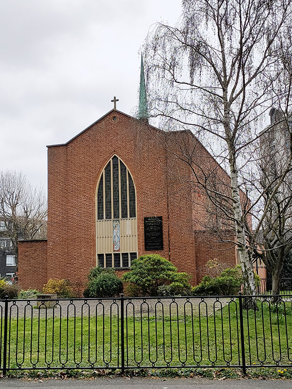
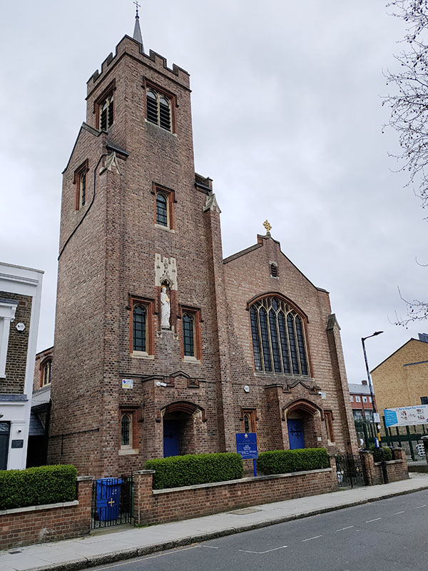
We exit the park onto St Agnes Place, immediately opposite the church of the same name. The original St Agnes Church on this site was built in 1875 and designed by George Gilbert Scott Jr. (son of the GGS responsible for the Midland Hotel, St Pancras and father of the GGS behind the iconic red telephone box). That first church was also destroyed in the Blitz and its current replacement was built in 1956 by Halliday and Greenwood to a design by Ralph Covell. St Agnes is a Church of England parish church in which worship follows the Catholic tradition.
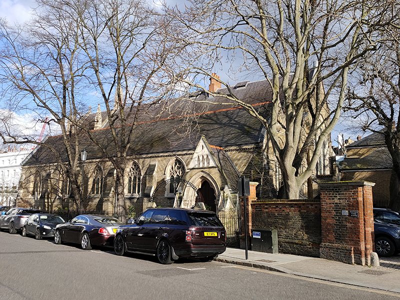
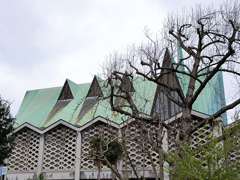
You wait eons for a modernist church built on the ruins of a bombed Victorian original then two come along in the space of ten minutes. Those ten minutes were spent negotiating Meadcroft Road, Kennington Park Gardens, Royal Road, Otto Street and Fleming Road to arrive at Lorrimore Square which is the home of St Paul’s Church. The current Grade II listed church was designed by firm Woodroffe Buchanan & Coulter and built in 1959–60. The building is a modernist, reinforced concrete buttressed form with a community centre on the ground floor and the church itself and church hall above. The “folded” roof is made of plate timber and coated in turquoise oxidised copper; it incorporates a series of triangles, symbolising the Holy Trinity. The external walls are a mix of brick, reclaimed stone from the original church, and artificial blocks, some incorporating multicoloured stained glass units. That original church was designed by local ecclesiastical architect Henry Jarvis and built in a Gothic revival style in the 1850’s.
Just round the corner on Lorrimore Road, St Wilfrid’s Roman Catholic Church barely escaped the same fate as its neighbours. This late Gothic composition in red brick was completed in 1915. In November 1940 it was struck, it is thought, by an anti-aircraft shell during a German air raid. Half the roof and one wall were blown away, the organ completely destroyed and the windows and doors ripped apart. The church was restored in 1948-1949 with the help of the War Damage Commission.
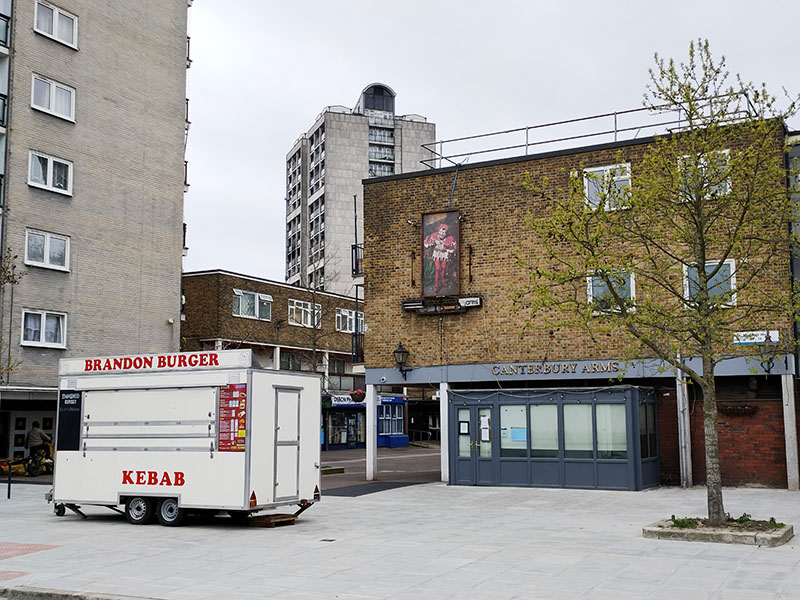
Once beyond the church we make a circuit of Forsyth Gardens then cover another section of Cooks Road. On the edge of the Brandon Estate is one of many abandoned pubs to be found in this vicinity. In terms of finding a “pub of the day” on this expedition the phrase “wild goose chase” springs to mind. On the plus side, at least the burger van wasn’t open to tempt the desperate.
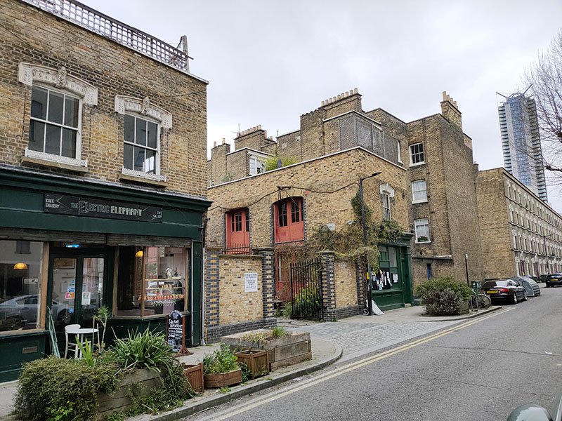
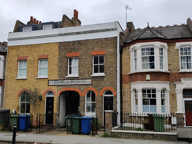
Next we’re turning off onto Hillingdon Street then cutting through Copley Close to John Ruskin Street (after the 19th century art critic that we named and shamed in the last post). I was intrigued by a sign reading “Whitbread & Co’s Entire” above an alley on the south side of the street. Apparently this once led to the back entrance to the long defunct Grosvenor Arms pub on the eponymous parallel terrace. The “Entire” refers to “Entire Butt Beer,” a popular type of porter in the 18th century that was a blend of different beers, which Samuel Whitbread helped popularize.
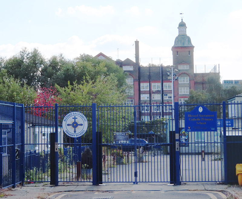
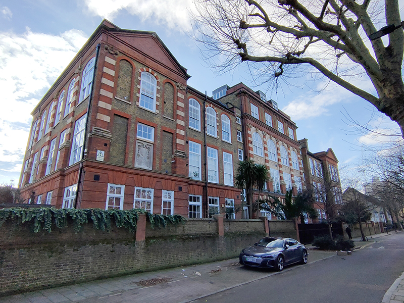
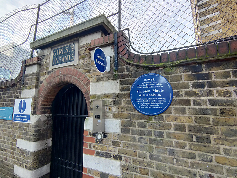
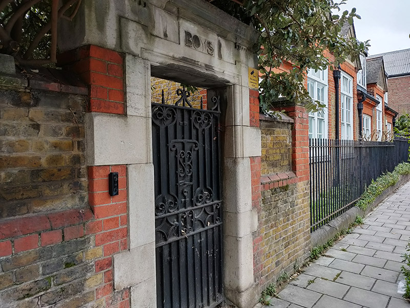
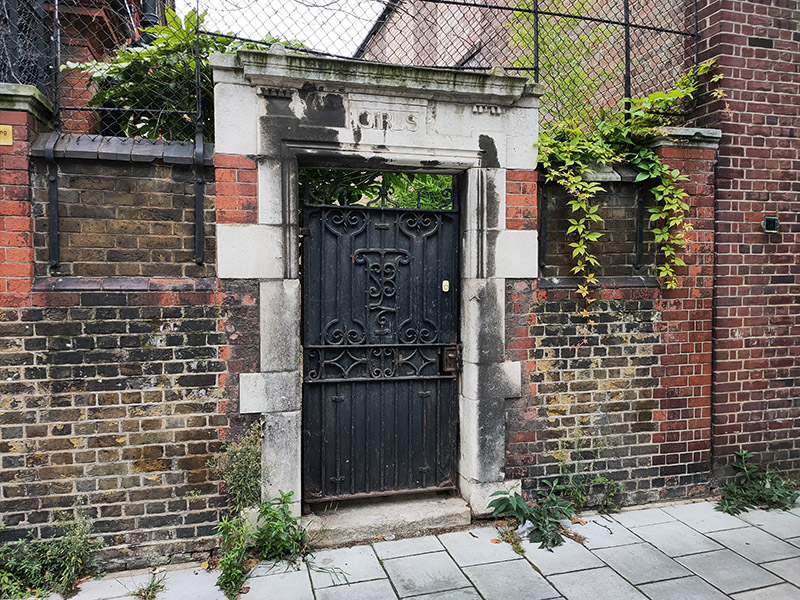
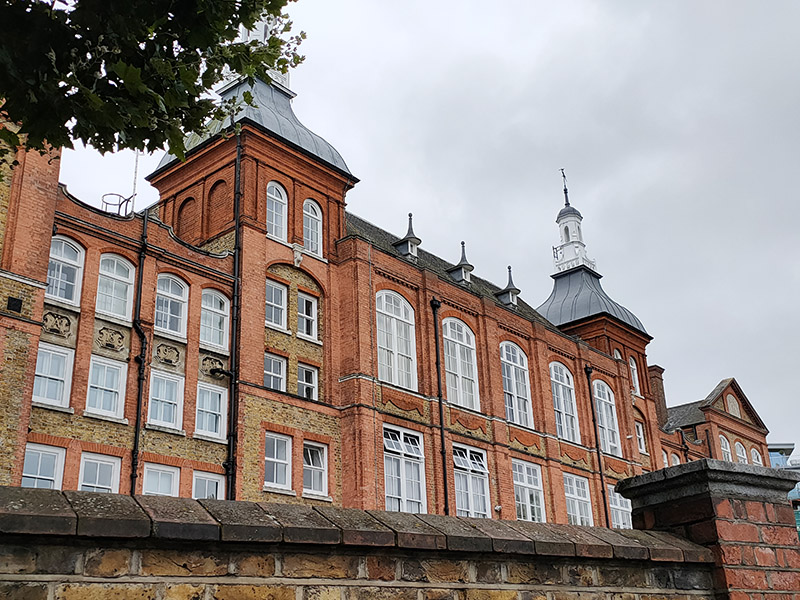
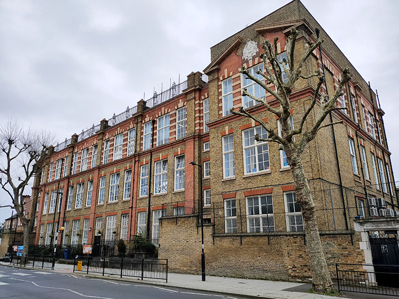
A bit further east is the John Ruskin Primary School, designed by renowned Victorian school architect Thomas Jerram Bailey and opened in 1899.
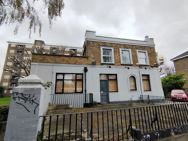
We cut through Dichton Court to return to Hillingdon Street then work our way north via Heiron Street, Olney Road, Draco Street and Chapter Road to Carter Street. This is where you’ll find another victim of the great pub die-off. The Beehive supposedly dates back to 1830 and had something of a colourful existence (especially in its early years) until COVID did for it. The now largely forgotten sport of pedestrianism (a form of race-walking) was hugely popular in the mid-19th century. Apparently beginning with members of the aristocracy betting on races between their footmen. There are many reports of these races taking place at the Beehive in the 1840s and they often attracted crowds of 3,000 or more. In 1837 a monkey parachuted onto land next door to the pub. This was part of Mrs. Graham’s spectacular balloon show at the nearby Surrey Zoological Gardens. The unfortunate creature was dropped in a small cage from around one hundred feet in a primitive parachute but had been blown off course when it had not opened properly. Local campaigners have successfully seen off two attempts by the landlords to convert the property into flats but its future currently seems uncertain.
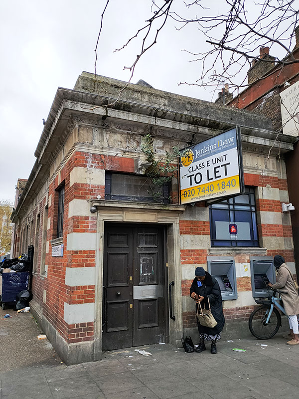
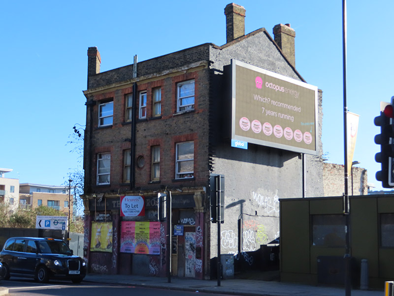
Having returned to the Walworth Road by way of Penrose Street, Penrose Grove and Carter Place I figure that’s enough for today and jump on the bus back to Waterloo. There’s just time for one more picture. This tiny former branch of Nat West Bank bizarrely still has operational ATMs despite being in a state of advanced decrepitude. It’s also currently the subject of a planning application – which the Walworth Society is strongly opposing. One to watch